


 中国和东南亚国家红树林评估报告现状、挑战与未来行动 ( 英文版 )


目录
笔记
搜索



Brief Introduction
The China and Southeast Asian Countries’ Mangrove Assessment Report: Status, Challenges, and the Paths Forward delivers a comprehensive overview of mangrove ecosystems and governance across China and ASEAN member states. Leveraging national experiences, empirical data, and policy advancements, this volume analyzes regional biodiversity alongside shared conservation challenges, such as coastal development and climate change. Key subjects include restoration efforts, community engagement, and blue carbon initiatives. Crucially, the report addresses data disparities, highlighting the need for international cooperation to standardize monitoring. This publication was made possible through the generous support of regional partner organizations. We extend our sincere gratitude to all contributing chapter authors, reviewers, and partner organizations who shared their data and expertise.
Tailored for a diverse audience, this publication serves as an essential resource for policymakers, government agencies, researchers, academicians, and students. It is equally valuable for private sector stakeholders, NGOs, development practitioners, and members of the public interested in coastal governance. It also acknowledges the invaluable contributions of field practitioners and community representatives whose firsthand experiences enrich the text. By providing accessible information and actionable insights, the report helps readers identify primary conservation bottlenecks and make informed decisions to build sustainable, resilient coastal futures.


Editorial Board for the China and Southeast Asian Countries’ Mangrove Assessment Report
| A. Aldrie AMIR | Malaysia |
| Aung Myint OO | Myanmar |
| CHEN Guangcheng | China |
| CHEN Shunyang | China |
| CHENG Jun | China |
| Christian L. MONTILIJAO | Philippine (the) |
| Ding Li YONG | Singapore |
| DOU Rui | China |
| FAN Min | China |
| Frida SIDIK | Indonesia |
| Junior Gama PINTO | Timor-Leste |
| Jurgenne H. PRIMAVERA | Philippine (the) |
| Li-Lee CHEW | Malaysia |
| Luis da COSTA | Timor-Leste |
| Mario M. CABRAL | Timor-Leste |
| Meas RITHY | Cambodia |
| Poonsri WANTHONGCHAI | Thailand |
| Rona Joy A. LOMA | Philippine (the) |
| Siriporn SRIARAM | Thailand |
| Sum DARA | Cambodia |
| TAK Chandara | Cambodia |
| Tariq Mubarak HUSIN | Malaysia |
| Thiri Dae Wei AUNG | Myanmar |
| Vanessa Herranz Muñoz | Spain |
| Virni Budi ARIFANTI | Indonesia |
| WANG Jing | China |
| WANG Wenqing | China |
| XU Wansu | China |
| YU Weiwei | China |
| ZHANG Jing | China |
| ZHANG Wei | China |


Forward I
The world’s mangroves stand at a critical turning point. Rooted in the intertidal zone between land and sea, these ecosystems occupy less than 1% of the world’s forest area yet deliver a disproportionately large range of ecological functions—sequestering carbon (blue carbon), harboring exceptional biodiversity, and protecting coastlines, thereby supporting the livelihoods and safety of millions of coastal inhabitants. However, under the pressures of economic development, the impacts of climate change, and fragmented management capacities, mangrove conservation faces unprecedented and complex challenges.
It is against this backdrop that the International Mangrove Center (IMC) was established. As a global platform dedicated to driving mangrove conservation and sustainable development worldwide, we believe that the fundamental pathway to ensuring the long-term health and sustainability of mangrove ecosystems lies in the deep integration of rigorous science, effective policies and community action.
China and Southeast Asian form one of the most strategically significant regions for achieving this goal. Not only does this region hold the world’s largest concentration of mangroves, it also nurtures exceptionally high biodiversity and carries immense social and ecological value. For this very reason, conservation practices undertaken here matter not only for the region itself, but also serve as a far-reaching model for global ocean governance and climate action.
This report is an important outcome of regional collaborative action. Experts and scholars from China and multiple Southeast Asian countries have transcended the boundaries of language, discipline and national borders, and together completed this systematic assessment of regional mangrove resources, threats and conservation practices. Through this output, we hope to provide policy-makers, managers and civil society actors with evidence-based scientific insights and operational guidance. We also look to this report as an opportunity to foster broader and deeper cross-border cooperation.
Protecting mangroves is a concrete and vital pathway toward harmony between people and nature. The International Mangrove Center stands ready—with an open, pragmatic and long-term commitment—to work hand in hand with all partners, responding to our shared responsibility and common aspirations through tangible action.

Prof. BAO Daming
Director General of International Mangrove Center (IMC)
May, 2026


Forward II
China and Southeast Asian countries represent one of the most significant regions for global mangrove distribution, hosting more than one-third of the global mangrove resources. The mangroves in this region sequester approximately 3 million tons of carbon each year, playing a significant role in addressing global climate change. At the same time, the mangrove ecosystems in China and Southeast Asian Countries are exceptionally rich in biodiversity—from the critically endangered hawksbill sea turtle to the endangered Bengal tiger, and tens of millions of birds that depend on mangrove habitats. This area is not only a critical part of the East Asian–Australasian Flyway for migratory birds but also a sanctuary for many rare species. Furthermore, mangroves safeguard the homes of approximately 2 billion people in the region and provide crucial ecosystem services such as fisheries resources, coastal protection, and carbon sequestration to millions of residents.
However, in recent years, mangroves across Southeast Asia have been facing widespread degradation and loss. Factors such as climate change, coastal development, and environmental pollution have led to the continuous encroachment on mangrove wetlands and the gradual degradation of ecosystem functions. To address this trend, collaboration and participation from all sectors—including governments, scientific community, businesses, local communities, the public, and social welfare organizations—are urgently needed. As a philanthropic force from China, the SEE Foundation has long been committed to the conservation of coastal wetlands, with a focus on mangroves. In 2022, responding to the “Blue Partnership” initiative proposed by the Chinese government, the SEE Foundation, together with the Ant Foundation, jointly launched the “Blue Partnership Action Fund” to support marine conservation public welfare efforts in China and Southeast Asian Countries.
As a key component of this initiative, we have collaborated with experts from various fields to compile the China and Southeast Asian Countries’ Mangrove Assessment Report: Status, Challenges, and the Paths Forward. This report systematically reviews the current status of mangrove resources in different countries, identifies major threats, summarizes existing conservation and management practices, and puts forward recommendations for enhancing transnational cooperation and policy coordination. It aims to promote the long-term protection and restoration of regional mangrove ecosystems, providing scientific foundations and actionable references for the sustainable management of mangroves.
Looking ahead, we hope to deepen cooperation with regional partners and work hand in hand to protect our shared ocean.

Prof. YANG Biao
Secretary General of SEE Foundation
November, 2025


Introduction
Mangroves are salt-tolerant plant communities growing in the intertidal zones of tropical and subtropical regions, occurring across 116 countries and territories worldwide (Giri et al., 2011; FAO, 2023, 2025). According to recent estimates, the global mangrove area is approximately 15.9 million hectares in 2025, with the majority distributing in Asia, the Americas, Africa, and Oceania. Asia harbors the most mangroves, with 6.102 million hectares, accounting for 38% of the global mangrove extent (FAO, 2025). Indonesia is the largest mangrove-holding country, where 21% of the world’s mangroves are found (Leal, 2024). Africa, following Asia, has a total mangrove area of 3.28 million hectares, accounting for 21% of the global mangrove area (FAO, 2025). In terms of species diversity, the Indo-West Pacific region represents the hotspot of mangrove species, with Indonesia, Malaysia and Australia exhibiting the highest numbers of mangrove species (Hoeksema, 2007; Islam et al., 2024).
Mangroves play a critical role in maintaining coastal ecosystem structure and function through wave attenuation, sediment trapping, shoreline stabilization, and water purification. As primary producers, they support terrestrial and marine food webs by supplying nutrients and providing habitats and breeding grounds for various fauna, including birds, insects, fish, crabs, and shellfish. Furthermore, mangroves possess a strong carbon sequestration capacity. According to Leal (2024), mangrove ecosystems store an average of 394 tons of carbon per hectare within their living biomass and the top-meter soil. This immense storage is driven by highly productive canopy that enable substantial atmospheric CO2 uptake, alongside complex aboveground structures, such as prop roots, pneumatophores, and dense stems, which effectively trap the particulate organic carbon from tidal waters. In addition, mangroves provide coastal communities with timber and other commercial products, tourism and recreation services, supporting local livelihoods and sustainable development—the diverse regional cases are presented throughout this book.
Despite their importance, mangroves have experienced extensive destruction and degradation over recent decades, with anthropogenic pressures intensifying markedly and culminating in the 20th century (Primavera et al., 2019; Friess et al., 2019). This deforestation was mainly driven by land-use changes such as conversion into agriculture, aquaculture and urbanized lands, alongside unsustainable timber and raw material extraction, and natural stressors like coastal erosion and extreme climate events (Goldberg et al., 2020). It has been estimated that such anthropogenic factors accounted for 62% of global mangrove loss between 2000 and 2016 (Goldberg et al., 2020), and that aquaculture, oil palm plantations and rice cultivation collectively contributed to 43% of mangrove losses from 2000 to 2020 (Leal, 2024). Although the global mangrove loss has slowed down considerably since 2000, deforestation persists in many countries, particularly in the large mangrove-holding countries in Asia (FAO, 2025). Between 2000 and 2016, nearly 80% of global mangrove loss occurred within six Southeast Asian countries, such as Indonesia, Myanmar, Malaysia, Philippines (the), Thailand, and Vietnam (Goldberg et al., 2020). Indonesia has experienced the largest total reduction in mangrove area, whereas Myanmar exhibited the highest rate of deforestation (Goldberg et al., 2020). Beyond direct deforestation, emerging threats, including biological invasions, environmental pollution, insect pests and diseases, coastal erosion, and habitat degradation—increasingly threaten mangrove ecosystem health, biodiversity, and ecological integrity. Moreover, sea-level rise hinders mangroves from migrating landward to adapt to rising water levels, which leads to the succession of mangrove species and dieback.
In response, international governance has been progressively integrated mangroves into legal and policy frameworks, by shifting recently toward deep alignment with climate agendas that feature clearly defined targets. The 1971 Ramsar Convention established the foundational international framework for wetland protection, explicitly encompassing mangroves. The 1992 Convention on Biological Diversity (CBD) incorporated mangrove conservation into its legal obligations of contracting parties, while the Ramsar COP8 in 2002 adopted the first dedicated resolution calling for mangrove conservation, integrated management, and sustainable use. More recently, Sustainable Development Goal (SDG) 14 and the Aichi Biodiversity Targets have reinforced conservation requirements from ecosystem service and protected area perspectives, and the 2018 Ramsar COP13 required all contracting parties to report changes in mangrove area in response to sustainable development indicator monitoring. Since 2009, the “blue carbon” concept has tightly coupled mangrove conservation with climate policy. Following the UNFCCC COP 16 recognizing the importance of blue carbon ecosystems in 2010, the 2014 IPCC Wetlands Supplement enable countries to include mangrove blue carbon in their national greenhouse gas inventories. The Paris Agreement encouraged numerous countries to incorporate mangrove protection and restoration into their Nationally Determined Contributions (NDCs), as a nature-based solution (NbS) for climate change mitigation and adaptation. Market mechanisms, including the Clean Development Mechanism (CDM), Verified Carbon Standard (VCS), and Plan Vivo, have integrated mangroves into voluntary carbon offset trading systems, thereby unlocking blue carbon value (Chen et al., 2022).
Entering the 2020s, the international community has adopted higher targets and specific measures for mangrove protection and restoration. The UN Decade on Ecosystem Restoration (2021-2030) identified mangroves as a priority target. The 2022 Kunming-Montreal Global Biodiversity Framework proposed the “30×30” ocean target, embedding mangroves within a broader conservation landscape. Collectively, these developments have expanded mangrove conservation policy from a singular focus on wetland protection into a comprehensive international framework encompassing biodiversity, climate mitigation and adaptation, and sustainable development.
As a global hotspot for mangrove extent and biodiversity, Asia holds particular significance for mangrove protection and restoration. Asian countries have enacted specialized laws and policies, established protected areas and ecological redlines, promoted community participation, implemented carbon trading schemes, and undertaken ecological restoration. For instance, the implementation of China’s Special Action Plan for Mangrove Protection and Restoration (2020-2025) resulted in an increase in mangrove area from 27,100 hectares in 2019 to 31,700 hectares by 2025, while also supported the integrating blue carbon into China’s NDCs and voluntary emission trading market. Similarly, Indonesia has launched multiple national plans—including the Indonesian Mangrove for Coastal Resilience (M4CR) program, aims to restore 41,000 hectares mangroves by 2027 and National Long Term Development Plan (2025-2045) targeting a cumulatively 245,000 hectares mangrove across four phases—toward an national restoration goal of 600,000 hectares.
Despite these ambitious targets, challenges do exist, including low restoration effectiveness, insufficient community participation, and conflicts between conservation and coastal development. This report, therefore, reviews the status, major challenges, and progresses of mangrove conservation and restoration practices in China and eight Southeast Asian countries, namely Cambodia, Indonesia, Malaysia, Myanmar, Philippines (the), Singapore, Thailand, and Timor-Leste. Relevant chapters detail spatial distribution, species composition, policies frameworks, and critical gaps in current conservation efforts. By facilitating the cross-nation compilation and knowledge sharing, this report seeks to promote regional policy coordination and mutual learning, contributing to a more effective cooperative framework for mangrove protection and restoration.
Editorial Board for the China and Southeast Asian
Countries’ Mangrove Assessment Report


Reference
Chen G, Wang J, Xu F, et al. 2022. Progress of coastal wetland blue carbon projects and advice on facilitating the development of blue carbon projects in China. Journal of Applied Oceanography, 41(2): 177-184
FAO. 2023. The State of the World’s Mangroves 2023. Food and Agriculture Organization of the United Nations
FAO. 2025. Global Forest Resources Assessment 2025: Progress and trends in coastal wetlands. Food and Agriculture Organization of the United Nations
Friess D A, Rogers K, Lovelock C E, et al. 2019. The state of the world’s mangrove forests: Past as prologue. Annual Review of Environment and Resources, 44(1): 89-115
Giri C, Ochieng E, Tieszen L L, et al. 2011. Status and distribution of mangrove forests of the world using earth observation satellite data. Global Ecology and Biogeography, 20(1): 154-159
Goldberg L, Lagomasino D, Thomas N, et al. 2020. Global declines in human-driven mangrove loss. Global Change Biology, 26(10): 5844-5855
Hoeksema B W. 2007. Varity and diversity of marine habitats in the Coral Triangle. Biodiversity and Ecosystems. Tokyo: Springer: 117-123
IPCC. 2014. 2013. Supplement to the 2006 IPCC Guidelines for National Greenhouse Gas Inventories: Wetlands. IPCC, Switzerland
Islam M A, Billah M M, Idris M H, et al. 2024. Mangroves of Malaysia: a comprehensive review on ecosystem functions, services, restorations, and potential threats of climate change. Hydrobiologia, 851(8): 1841-1871
Leal M. 2024. The Global Mangrove Watch Report 2024: Mangroves in the climate agenda. Global Mangrove Alliance
Primavera J H, Friess D A, Tien D V, et al. 2019. Challenges and opportunities for mangrove restoration and conservation in Southeast Asia. Coastal Wetlands. Elsevier: 823-851
UNEP. 2009. Blue Carbon: The Role of Healthy Oceans in Binding Carbon. United Nations Environment Programme, FAO, and IOC-UNESCO
Wang W, Wang M. 2007. The mangrove ecosystems of China: Current status, threats and conservation strategies. Journal of Forestry Research, 18(1): 65-72Chapter 1


Chapter 1 Status of Cambodia’s Mangroves: Resource Dynamics, Governance, and Conservation Strategies
Authors:
• Meas Rithy, Department of Coastal Zone and Marine Conservation, Ministry of Environment, Cambodia
• Sum Dara, Department of the Marine and Coastal Zone Conservation, Ministry of Environment, Cambodia
• Cheng Jun, Fauna & Flora Cambodia Programme
• Chandara Tak, Fauna & Flora Cambodia Programme
• Vanessa Herranz Muñoz, Fishing Cat Ecological Enterprise Co.


Abstract
Cambodia has approximately 55,470 hectares (FAO, 2020) of mangrove forests distributed across four coastal provinces: Koh Kong, Preah Sihanouk, Kampot, and Kep, harboring over 700 species across taxonomic groups, roughly accounts for 0.40% of the global mangrove estate of 14.8 million hectares (FAO, 2023). Since the 1990s, Cambodia has progressively strengthened mangrove conservation through legislation including the Law on Forestry (2002), the Law on Nature Protection Areas (2008), and the Code on Environment and Natural Resources (2023), the designation of protected areas including Peam Krasop Wildlife Sanctuary and the Koh Kapik Ramsar site, and the adoption of major national strategies such as the Circular Strategy on Environment (2023-2028). Mangrove conservation has also been integrated into Cambodia’s Nationally Determined Contributions and long-term carbon neutrality commitments.
As a result of these efforts, the rate of mangrove loss has moderated significantly. However, Cambodia’s mangroves remain under intense pressure from aquaculture expansion, illegal logging, coastal development, sand mining, and the accelerating impacts of climate change, while governance challenges including overlapping institutional mandates and insufficient enforcement capacity continue to constrain conservation effectiveness. Further actions are recommended to resolve inter-ministerial jurisdictional fragmentation, establish a standardized national mangrove monitoring programme, extend biodiversity and blue carbon assessments to underrepresented provinces, strengthen community co-management, and integrate mangrove blue carbon into Cambodia’s climate finance architecture to mobilize sustainable long-term funding for coastal ecosystem conservation.


1.1 Status of Mangrove Resources


1.1.1 Mangrove distribution and change trend
Mangrove forests extend along nearly the entire 435 km coastline on Cambodia’s northeastern shore of the Gulf of Thailand, and are concentrated across four coastal provinces: Koh Kong, Preah Sihanouk, Kampot, and Kep (Nop et al., 2017; Veettil and Quang, 2019; Figure 1-1). Koh Kong Province holds the largest share, encompassing the four most ecologically significant mangrove sites: Peam Krasop Wildlife Sanctuary (Figure 1-2, Figure 1-3), the adjacent Koh Kapik Ramsar site, Botum Sakor National Park, and Dong Peng Multiple Use Area, which together form one of the largest contiguous mangrove complexes in mainland Southeast Asia.
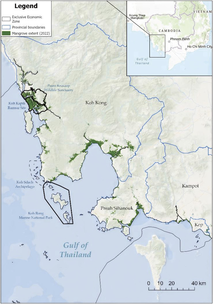
Figure 1-1 Distribution of mangrove forests in Cambodia. (Provided by Fauna & Flora Cambodia Programme)
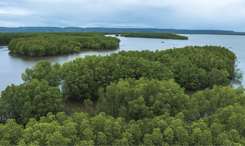
Figure 1-2 Peam Krasop Wildlife Sanctuary, Koh Kong, Cambodia. (Photo by Kimlong Meng/Fauna & Flora)
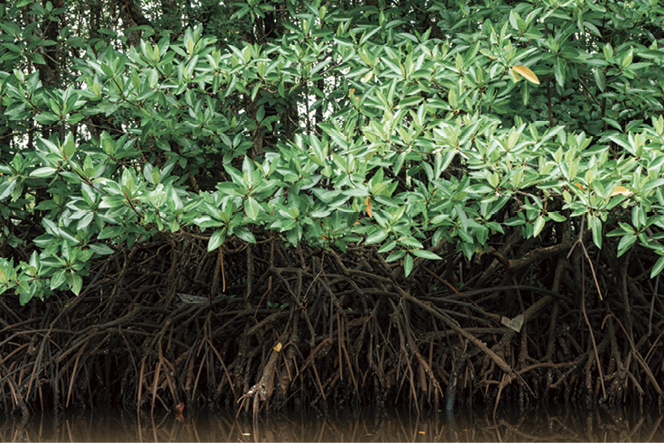
Figure 1-3 Mangrove trees, Peam Krasop Wildlife Sanctuary. (Photo by Hem Manita/Fauna & Flora)
National-level area estimates vary by source and methodology (Table 1-1, Figure 1-4). According to the Food and Agriculture Organization (FAO, 2020), Cambodia’s mangrove cover declined from an estimated 91,200 hectares in 1980 to 55,470 hectares in 2020 and 55,355 hectares in 2025 (Meas et al., 2022; Maningo et al. 2026), representing a loss of approximately 39% over four decades. Satellite-based analysis by Veettil and Quang (2019), using Landsat time-series data from 1989 to 2017, quantified a net contraction of roughly 42%, from approximately 88,400 hectares to 51,600 hectares, equivalent to an average annual loss of around 1,415 hectares. per year. Koh Kong experienced particularly acute decline, losing cover at more than twice the national average rate between 2005 and 2011, from 44,790 to 37,161 hectares (Ministry of Environment, 2013).
Table 1-1 National-level mangrove area estimates
| Year | Mangrove forest area/hectares | Source |
| 2025 | 55,355 | Maningo et al., 2026 |
| 2020 | 55,470 | FAO, 2020 |
| 2015 | 57,140 | FAO, 2015 |
| 2010 | 78,405 | Fishery Administration (FiA), 2010 |
| 2005 | 69,200 | FAO, 2005 |
| 2000 | 73,600 | |
| 1997 | 72,835 | Department of Forestry and Wildlife and Forest Wildlife Research and Education Institute, 1998 |
| 1993 | 77,669 | Department of Forestry and Wildlife and Forest Wildlife Research and Education Institute, 1998 |
| 1992 | 85,100 | The Mekong Secretariatet al., 1994 |
| 1990 | 82,400 | FAO, 2005 |
| 1980 | 91,200 | |
| 1975 | 94,600 | The Mekong Secretariat et al., 1994 |
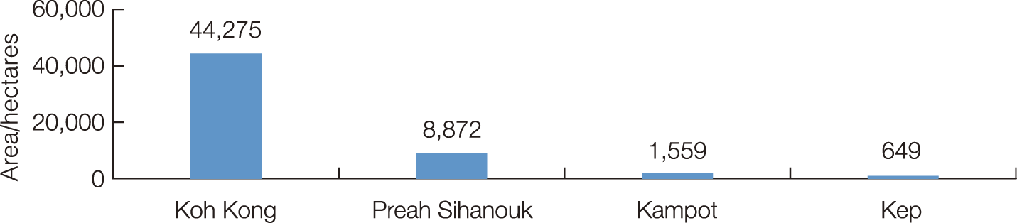
Figure 1-4 The distribution of Mangrove forest in Cambodia’s coastline (2025).
A partial recovery in mangrove extent was recorded between 2016 and 2020, attributed to the closure of unprofitable aquaculture ponds, reforestation initiatives, and strengthened enforcement (FAO, 2023; Veettil and Quang, 2019). However, the absence of a nationally standardized monitoring programme means that available estimates from different methodologies and reference years remain inconsistent; the FAO (2020) Global Forest Resources Assessment and Global Mangrove Watch datasets serve as the primary reference sources for national-level figures used in this report. It is also worth noting that mangrove exploitation prior to the 1990s was not extensive by regional standards (DNCP and MoE, 1995), and that the most severe losses are concentrated in the post-1990 period.


1.1.2 Floristic diversity and species classification
The reported number of mangrove species in Cambodia varies across studies. The ecosystem is estimated to support between 29 and 37 species (Smith, 1996; Veettil and Quang, 2019), among which recent field surveys have confirmed 26 true mangrove species (Herranz Muñoz et al., 2024). The dominant species are Rhizophora apiculata and Rhizophora mucronata, which characterize the majority of intertidal and estuarine stands. Table 1-2 presents the 29 species recorded across Cambodia’s coastal provinces, with classifications following Tomlinson (2016) and Polidoro et al. (2010).
Table 1-2 Mangrove species recorded in Cambodia’s coastal provinces
| No. | Species | Type | Distribution in Cambodia |
| 1 | Acanthus ebracteatus | True mangrove | Koh Kong, Kampot; mid- to high-intertidal understorey shrub; co-occurs with A. ilicifolius |
| 2 | Acanthus ilicifolius | True mangrove | All four provinces; common mid- to high-intertidal understorey shrub; tidal canal sides |
| 3 | Aegiceras corniculatum | True mangrove | Koh Kong, Kampot, Sihanoukville; shrubby; mid- to high-intertidal creek margins |
| 4 | Avicennia alba | True mangrove | All four provinces; pioneer on seaward mudflats; common at estuarine fronts |
| 5 | Avicennia marina | True mangrove | All four provinces; dominant on exposed seaward margins; highest salinity tolerance |
| 6 | Avicennia officinalis | True mangrove | Koh Kong, Sihanoukville, Kampot; mid-intertidal to landward; firm substrates and riverbanks |
| 7 | Bruguiera cylindrica | True mangrove | Koh Kong, Kampot; mid-intertidal mixed stands; less abundant than B. gymnorhiza |
| 8 | Bruguiera gymnorhiza | True mangrove | Common mid-intertidal canopy dominant in mature stands |
| 9 | Bruguiera parviflora | True mangrove | Koh Kong (Peam Krasop); mid-intertidal; recorded in 2023 biodiversity survey |
| 10 | Bruguiera sexangula | True mangrove | Koh Kong, Kampot; landward estuarine low-salinity zones; vulnerable to sea-level rise |
| 11 | Ceriops tagal | True mangrove | All area upper intertidal to landward; tolerates dry conditions; historic charcoal source |
| 12 | Cynometra iripa | Mangrove associate | Koh Kong; upper-intertidal to landward fringe; less frequently recorded |
| 13 | Dolichandrone spathacea | Mangrove associate | Koh Kong, Kampot; landward fringe above spring high-tide; rarely documented |
| 14 | Excoecaria agallocha | Mangrove Associate (disputed*) | Koh Kong, Kampot; brackish–freshwater transitional zones; landward margin |
| 15 | Heritiera littoralis | Mangrove Associate (disputed*) | Koh Kong (Peam Krasop); landward fringe; large cavity trees; critical bat habitat |
| 16 | Kandelia candel | True mangrove | Historically recorded; estuarine upper-tidal; distribution requires verification |
| 17 | Lumnitzera littorea | True mangrove | Koh Kong, Kampot; upper-intertidal to landward; slow-growing; vulnerable to sea-level rise |
| 18 | Lumnitzera racemosa | True mangrove | All areas; upper intertidal; more drought-tolerant than L. littorea |
| 19 | Nypa fruticans | True mangrove | Abundant in Koh Kong estuaries; dominant in brackish upper-tidal and riverine zones |
| 20 | Pemphis acidula | Mangrove associate | Koh Kong; rocky or sandy upper-intertidal; rare in Cambodia |
| 21 | Rhizophora apiculata | True mangrove | All areas; dominant mid-intertidal species; primary restoration planting species |
| 22 | Rhizophora mucronata | True mangrove | Koh Kong, Kampot, Sihanoukville; mid-intertidal riverbanks on humus-rich soils |
| 23 | Rhizophora stylosa | True mangrove | Koh Kong, Sihanoukville; coarser sandy substrates; seaward to mid-intertidal |
| 24 | Scyphiphora hydrophyllacea | True mangrove | Koh Kong (Peam Krasop); landward margin on sandy/rocky substrates; rare |
| 25 | Sonneratia alba | True mangrove | All areas pioneer on sandy mudflats; seaward fringe dominant |
| 26 | Sonneratia caseolaris | True mangrove | Koh Kong, Kampot; freshwater to brackish upper-tidal and riverine margins |
| 27 | Sonneratia ovata | True mangrove | Koh Kong (Peam Krasop); localized; estuarine mid-zone; rarer congener |
| 28 | Xylocarpus granatum | True mangrove | Koh Kong (Peam Krasop); mid- to upper-intertidal; slow-growing cavity tree |
| 29 | Xylocarpus moluccensis | True mangrove | Koh Kong, Kampot; mid- to upper-intertidal, firmer substrates; co-occurs with X. granatum |
Notes: The data mainly refers to the species listed by Global Mangrove Watch as the initial reference. Type classification follows Tomlinson (2016). *Excoecaria agallocha and Heritiera littoralis are classified as associates based on leaf trait analysis (Wang et al., 2011). Distribution data are sourced from Bann (1997) and Herranz Muñoz et al. (2024).


1.1.3 Blue carbon potential
The total carbon asset value of Cambodia’s mangrove ecosystems has become a focal element of national climate strategy frameworks. Sharma et al. (2020) conducted a comprehensive national evaluation of mangrove ecosystem carbon pools, validating that intact, structurally mature mangrove forests store significantly greater Total Ecosystem Carbon (TEC) densities than degraded, open, or historically deforested counterparts. Furthermore, the study demonstrated that sustained ecological restoration can systematically recover these depleted carbon stocks over multi-year recovery trajectories.
Targeted deep-sediment carbon profiles focusing on peat-forming mangrove substrates within Botum Sakor (Lo et al., 2018) and Peam Krasop (Taing et al., 2017) confirm high localized blue carbon storage potential. These findings highlight the international climate change mitigation value of safeguarding these coastal environments against land-use conversion (Figure 1-5).
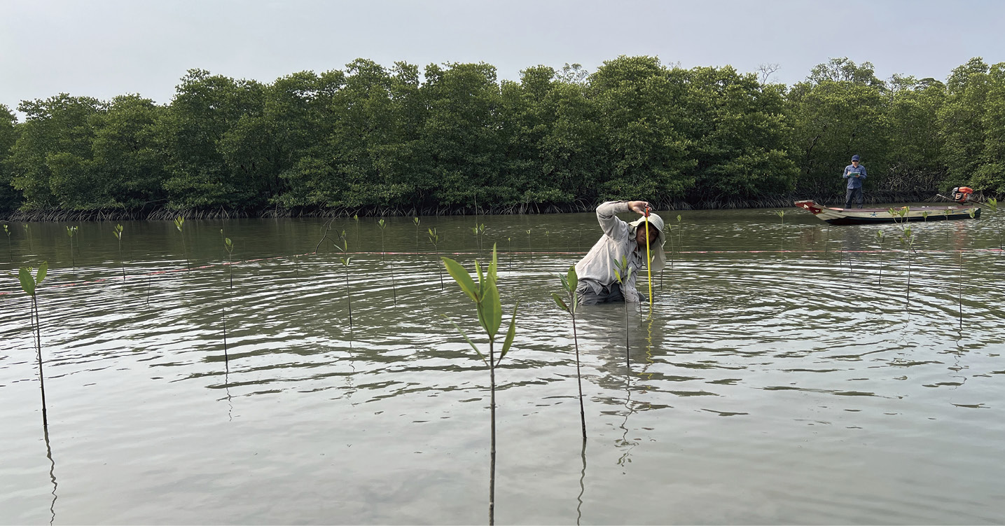
Figure 1-5 Evaluating mangrove restoration outcomes in Peam Krasop Wildlife Sanctuary. (Photo by MoE)


1.1.4 Faunal biodiversity and ecological values
In terms of diversity, Cambodia’s mangrove ecosystems harbor exceptional faunal biodiversity. The most comprehensive biodiversity assessment to date, conducted in 2023 at Peam Krasop Wildlife Sanctuary (Figure 1-6) and Koh Kapik Ramsar site (Figure 1-7) by Fauna & Flora and Fishing Cat Ecological Enterprise (FCEE) in partnership with the Ministry of Environment, recorded over 700 species across taxonomic groups, including 62 plant species, 12 amphibian species, 74 fish species, more than 350 arthropod species, and five reptile species (Herranz Muñoz et al., 2024; Figure 1-8, Figure 1-9). Globally threatened species confirmed during the survey include the critically endangered Sunda pangolin (Manis javanica), the endangered hairy-nosed otter (Lutra sumatrana) and large-spotted civet (Viverra megaspila), and the endangered Nordmann’s greenshank (Herranz Muñoz et al., 2024; Thaung et al., 2017). The area also supports internationally important populations of migratory shorebirds at Koh Kapik, including the critically endangered spoon-billed sandpiper (Taing et al., 2018).
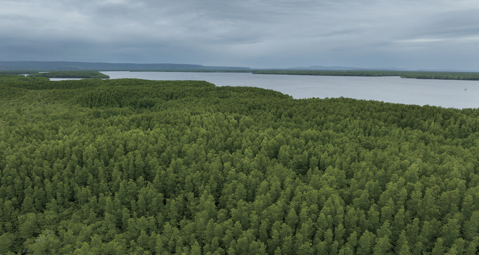
Figure 1-6 The connected mangrove, swamp and forest habitats of PKWS have great potential to serve as suitable habitats for mammals. (Photo by Kimlong Meng/Fauna & Flora)
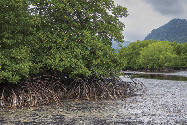
Figure 1-7 The coastal mudflats, mangrove forests, lowland Melaleuca and evergreen forests of Koh Kapik Ramsar Site (KKRS) and Peam Krasop Wildlife Sanctuary (PKWS). (Photo by: Fauna & Flora)
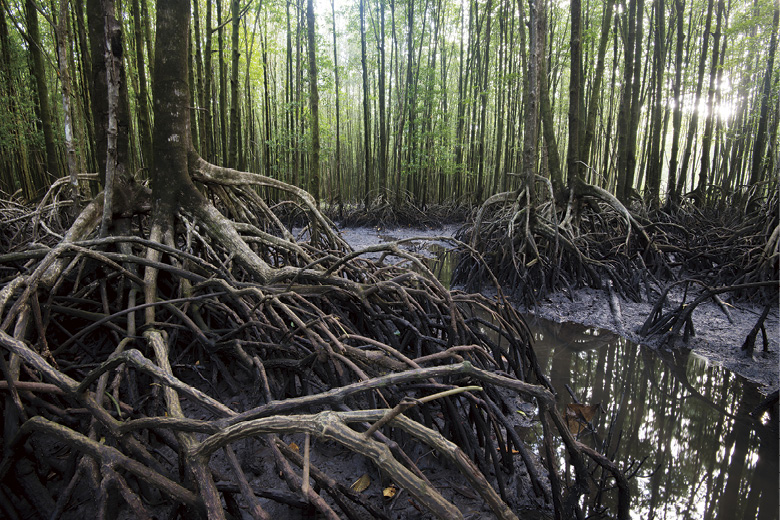
Figure 1-8 Mangroves provide excellent shelter, feeding, and nursery grounds for a wide variety of marine fish. (Photo by Jeremy Holden/Fauna & Flora)
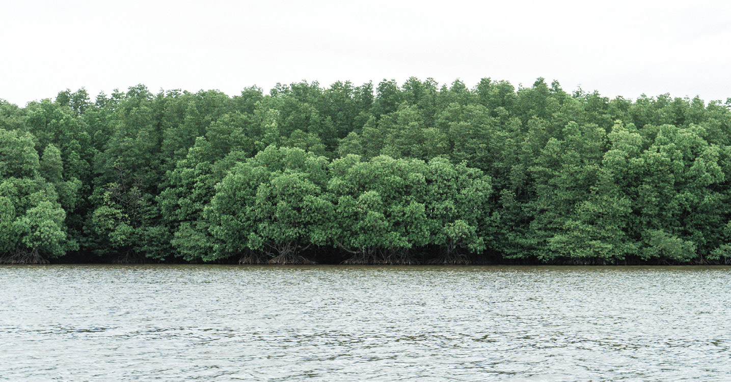
Figure 1-9 Mangrove landscape, Peam Krasop Wildlife Sanctuary. (Photo by Hem Manita/Fauna & Flora)


1.1.5 Drivers of degradation and socioeconomic interdependencies
Despite the partial area recovery recorded after 2016, the functional condition of Cambodia’s mangroves remains under significant human-related stress. The primary drivers of historical and ongoing loss identified by Veettil and Quang (2019) are: (i) aquaculture expansion, particularly shrimp pond development; (ii) mangrove clearance for fuelwood and charcoal production, driven by livelihood dependency in coastal communities; and (iii) salt flat development. Other threats include coastal urbanization, port and special economic zone construction, sand mining, pollution, and the accelerating impacts of climate change on low-lying tidal habitats (Lo et al., 2018; Sorn and Veth, 2019).
The socioeconomic consequences of mangrove loss are particularly pronounced in Koh Kong. Seary et al. (2021) concluded that mangrove-associated fisheries accounted for approximately 90% of total catch and 85% of gross household income for fishing families in the Peam Krasop Fishing Community, underlining the direct dependency of coastal livelihoods on mangrove ecosystem integrity. Loss of structurally mature forests, characterized by large cavity-bearing trees, has also been identified as a critical ecological threat, disproportionately affecting hollow-dependent vertebrates including bats and small carnivores (Herranz Muñoz et al., 2024).


1.2 Status of Mangrove Protection and Management


1.2.1 Institutional framework and division of responsibilities
The governance of Cambodia’s mangrove ecosystems is distributed across multiple ministries, with no single agency holding comprehensive jurisdiction. The Royal Government of Cambodia established the National Committee for Management and Development of Cambodia Coastal Areas in 2012, composed of representatives from all relevant ministries and institutions, to provide coordination across the coastal zone (Ratana, 2024). However, day-to-day management authorities remain primarily divided between two-line ministries.
The Ministry of Environment (MoE), through its General Directorate of Natural Protected Areas (GDNPA) (formerly known as the General Directorate of Administration for Nature Conservation and Protection, GDANCP), manages all formally designated protected areas, including Peam Krasop Wildlife Sanctuary, Botum Sakor National Park, Dong Peng Multiple Use Area, and the Koh Kapik Ramsar site. Following a 2016 governmental reform (Sub-Decree No. 69), protected forests previously under the authority of Ministry of Agriculture, Forestry and Fisheries (MAFF) were transferred to MoE and reclassified as natural protected areas, significantly consolidating MoE’s jurisdiction over mangrove conservation sites. At the sub-national level, management responsibility is delegated to the provincial Department of Environment (DoE).
The Ministry of Agriculture, Forestry and Fisheries (MAFF) manages mangrove forest resources outside formally protected areas through two subordinate institutions. The Forestry Administration (FA) is responsible for forest classification and management of the Permanent Forest Estate under the Law on Forestry (2002), within which mangrove is classified as one of 13 recognized forest categories. The Fisheries Administration (FiA) oversees marine and coastal fisheries management, including the designation of Marine Fisheries Management Area (MFMA) and the oversight of Community Fisheries (CFi) structures, which have become a cornerstone of participatory mangrove management at the site level (Nop et al., 2017). The Ministry of Water Resources and Meteorology (MoRAM) also participates in mangrove management at selected sites where hydrological conditions are relevant to conservation outcomes (Ratana, 2024). Academic institutions and international development partners contribute technical support and co-financing for management plan development and implementation.
Beyond the principal line ministries, several inter-ministerial and sub-national bodies play important coordinating roles in coastal mangrove management. The National Committee for Management and Development of Cambodia Coastal Areas, established in 2012, serves as the primary cross-governmental coordination mechanism, responsible for preparing coastal policies, strategies, master plans, and action plans; monitoring and evaluating development projects in coastal zones for conformity with government guidelines; and facilitating sustainable use and development of coastal resources to improve living conditions for coastal populations. At the sub-national level, provincial and district authorities under the Ministry of Interior perform a complementary administrative function, with governors and local authorities responsible for maintaining public order, preparing provincial development plans, and managing land use, urbanization, public works, and water supply — all of which directly intersect with the governance of mangrove-adjacent areas.
Non-governmental organizations also play a meaningful functional role in Cambodia’s mangrove conservation landscape. At both national and sub-national levels, NGOs contribute to restoration projects, community-based protection programmes, biodiversity monitoring, and capacity building, often operating in partnership with government agencies where institutional resources are limited. International organizations including FAO, UNEP, Fauna & Flora, IUCN, and Mangroves for the Future have provided sustained technical support and co-financing for site-level management, while national NGOs and academic institutions contribute to public awareness, applied research, and the strengthening of community conservation structures across the four coastal provinces. Table 1-3 provides an overview of these stakeholders and their respective roles in mangrove management in Cambodia.
Table 1-3 Stakeholder matrix for mangrove conservation and management (Source: Meas et al., 2022)
| No | Stakeholders | Mandate and roles |
| National level | ||
| 1 | General Directorate of Natural Protected Areas (GDNPA), the Ministry of Environment (MoE) | Leading, coordinating, and executing the project as the national agency responsible for national coordination, planning, and governance of the project |
| 2 | The Fishery Administration (FiA), the Ministry of Agriculture, Forestry and Fisheries (MAFF) | |
| 3 | The Ministry of Water Resources and Meteorology (MoRAM) | |
| 4 | The National Committee on Coastal Area Management and Development | |
| Sub-National | ||
| 5 | Preah Sihanouk Administration | Providing technical inputs for national and local operational management of the project and facilitating implementation at a sub-national level |
| 6 | Koh Kong Administration | |
| 7 | Kompot Administration | |
| 8 | Kep Administration | |
| 9 | The Provincial Department of Environment (Kampot, Kep, Preah Sihanouk and Koh Kong) | |
| 10 | The Provincial Department of Agriculture, Forestry and Fisheries (Kampot, Kep, Preah Sihanouk and Koh Kong) | |
| Academics | ||
| 11 | Royal University of Phnom Penh (RUPP) | Providing technical support and collaboration on research |
| 12 | Royal University of Agriculture (RUA) | |
| 13 | Institute of Technology of Cambodia (ITC) | |
| 14 | Prek Leap National Institute of Agriculture (PNSA) | |
| 15 | Paññāsāstra University of Cambodia (PUC) | |
| NGOs | ||
| 16 | Fauna & Flora International (FF) (International NGO) | Collaborators in terms of technical assistance and co-funding |
| 17 | The International Union for Conservation of Nature (IUCN) (International NGO) | |
| 18 | Marine Conservation of Cambodia (MCC) (Local NGO) | |
| 19 | The Fisheries Action Coalition Team (FACT) (International NGO) | |
| 20 | The Development and Partnership in Action (DPA) (Local NGO) | |
| 21 | Others | |
Cambodia’s mangroves are governed by an interlocking suite of legislative instruments, strategic national policy agendas, and international treaty commitments. Historically, the foundational pillars rested upon the Law on Environmental Protection and Natural Resource Management (1996) and the Law on Nature Protected Areas (2008). These have been modernized and superseded by the comprehensive Code on Environment and Natural Resources (2023).
The 2023 Code establishes a clear framework for environmental protection, mandates inter-ministerial consultation prior to major economic zoning decisions, and established a strict four-zone management matrix (comprising Core, Conservation, Sustainable Use, and Community Zones) applied across all marine and coastal protected areas. Parallel to this, the Law on Forestry (2002) continues to classify mangroves within its 13 standard state forest categories, reinforcing explicit prohibitions against unauthorized clearing, timber extraction, or industrial charcoal production (Table 1-4).
Table 1-4 Policies, laws, regulations, strategies, and plans (Source: Meas et al., 2022)
| Instrument | Core purpose | Year |
| Laws and regulations | ||
| Royal Decree on Creation and Designation of 23 Protected Areas | Formally established Cambodia’s national protected area network in line with UN standards | 1993 |
| Law on Environmental Protection and Natural Resources Management | Mandates environmental impact assessment and sustainable management of all natural resources | 1996 |
| Land Law | Establishes land ownership rights and the state cadastral system under MLMUPC | 2001 |
| Law on Forestry | Defines agency roles, forest classification, community forestry rights, and penalties for forest crimes | 2002 |
| Law on Fisheries (Amended) | Promotes sustainable fisheries management, community fisheries rights, and strict penalties for illegal fishing | 2025 |
| Code on Environment and Natural Resources | Aiming to provide an overarching legal framework for environmental protection, focusing on land and water use, waste management, and ecosystem conservation | 2023 |
| Sub-Decree on Community Fisheries Management | Provides the legal framework for establishing and operating community fisheries in inland and coastal areas | 2005 |
| National Strategic and Action Plan for Disaster Risk Reduction (2008-2013) | Mainstreams disaster risk reduction into national and sector-level planning across six priority themes | 2008 |
| Sub-Decree on Koh Rong Marine National Park | Designates Cambodia’s first marine national park and establishes its protective management regime | 2018 |
| Policies and Strategy Plans | ||
| Cambodia’s National Action Plan for Mangroves | Sets strategies for mangrove research, monitoring, policy coordination, and public awareness | 2004 |
| Coastal Environmental Management Action Plan (2007-2011) | Guides integrated coastal zone management across forests, fisheries, waste, and land-use zoning | 2007 |
| National Strategic and Action Plan for Disaster Risk Reduction (2008-2013) | Mainstreams disaster risk reduction into national and sector-level planning across six priority themes | 2008 |
| Strategic Planning Framework for Fisheries (2010-2019) | Aligns fisheries management with national development goals and biodiversity protection targets | 2010 |
| Sustainable Development Strategic Plan for Coastal Environment (2012-2016) | Implements government policies to protect the coastal environment, manage resources, and reduce pollution | 2012 |
| Circular No. 01 SRNN on Coastal Area Development | Guides ministries and sub-national authorities in the sustainable management and development of coastal areas | 2012 |
| National Strategic and Action Plan (NSAP) 2014-2016: Mangroves for the Future | Sets priority strategies for coastal ecosystem protection and conservation under the MFF initiative | 2013 |
| Cambodia Climate Change Strategic Plan (2014-2023) | Mainstreams climate resilience into national planning and promotes low-carbon green development | 2013 |
| National Strategic Plan on Green Growth (2013-2030) | Steers the economy toward efficient natural resource use, environmental sustainability, and green investment | 2013 |
| National Protected Area System Strategic Management Framework | Guides MoE in developing action plans for individual protected areas and the national PA network | 2014 |
| National Biodiversity Strategy and Action Plan (NBSAP) | Sets biodiversity targets including doubling marine protected area coverage and reducing ecosystem pressures | 2016 |
| National Protected Area Strategic Management Plan (2017-2031) | Comprehensive strategy for Cambodia’s protected areas focusing on conservation, enforcement, and community livelihoods | 2017 |
| National Environment Strategic and Action Plan (NESAP 2016-2023) | Provides a national roadmap integrating environmental protection with sustainable socioeconomic development | 2017 |
| Management Plan for Peam Krasop Wildlife Sanctuary (2018-2022) | Site-level management roadmap for Peam Krasop covering biodiversity conservation and community livelihoods | 2018 |
| National Strategic Development Plan (2018-2023) | Reviews regulations and programs to ensure improved and sustainable environmental management | 2018 |
| Cambodian Sustainable Development Goal Framework (2016-2030) | Aligns national targets and indicators with the SDGs and tracks progress at national and sub-national levels | 2018 |
At the strategic policy level, the Circular Strategy on Environment (CSE) 2023-2028, launched by the MoE, represents the most ambitious contemporary environmental agenda. It embeds mangrove protection into national targets for ecosystem restoration and carbon neutrality (United Nations Development Programme Cambodia, 2024). Internationally, Cambodia’s Nationally Determined Contributions (NDCs) and its Long-Term Strategy for Carbon Neutrality by 2050 explicitly position coastal mangrove networks as priority blue carbon sinks. The National REDD+ Strategy and its associated National Forest Monitoring System (NFMS), developed via UNDP partnership, provide the verification infrastructure needed to track, map, and trade mangrove-based carbon units within global compliance frameworks (UNDP Cambodia, 2021).


1.2.2 Protected areas with mangrove ecosystems
Cambodia’s national protected area network includes multiple sites holding significant mangrove stands. Table 1-5 documents the major state-protected areas containing mangrove habitats, listing their designation category, provincial location, total area, and primary protection objectives.
Table 1-5 Major protected areas in Cambodia with significant mangrove extent (Sources: Dara et al., 2009)
| Protected area | Category | Province | Mangrove significance | Total area /hectares | Year designated |
| Peam Krasop Wildlife Sanctuary | Wildlife Sanctuary | Koh Kong | Primary mangrove conservation site; largest contiguous mangrove complex in Cambodia; co-managed with six community fisheries | 23,750 | 1993 |
| Phnom Bokor National Park | National Park | Kampot | Coastal and upland park; mangrove extent along Kampot coastline | 140,000 | 1993 |
| Ream National Park | National Park | Preah Sihanouk | Mangrove fringe along Prek Teuk Sap estuary; one of three primary habitat types; supports coastal bird assemblages | 15,000 | 1993 |
| Padum Sakor National Park | National Park | Koh Kong | Extensive coastal lowland including mangrove and freshwater swamp forest; peat-forming mangroves documented by Lo et al. (2018) | 171,250 | 1993 |
| Kep National Park | National Park | Kep | Small mangrove fringe along sheltered bays; biodiversity monitoring ongoing | 5,000 | 1993 |
| Dong Peng Multiple Use Area | Multiple Use Area | Koh Kong | A protected multiple use management area, located on the north end of the Bay of Kompong Som | 27,700 | 1993 |
| Koh Kapik Ramsar Site | Ramsar Wetland / Multiple Use Area | Koh Kong | International wetland designation; mangrove fringe habitat for migratory shorebirds and threatened mammals; overlaps with Peam Krasop | 12,000 | 1999 |
| Koh Rong Marine National Park | Marine National Park | Preah Sihanouk | Cambodia’s first marine island national park; a primary habitat type of mangrove; transitional land–sea interface |
52,000 | 2016 |
Peam Krasop Wildlife Sanctuary is the principal site for mangrove-focused conservation in Cambodia and represents the country’s most extensively documented mangrove restoration experience, integrating active replanting, community patrol systems, and income diversification under a co-management arrangement supported by MoE, IUCN, and Mangroves for the Future (Dara et al., 2009). Local community groups operate formally within or adjacent to the sanctuary, where mangrove-associated fisheries account for approximately 90% of total household catch and 85% of gross income for surveyed families (Seary et al., 2021), creating both a compelling intrinsic incentive for conservation and a structural risk of overexploitation under economic stress. Biodiversity surveys have further confirmed that areas under active community management retain higher floristic diversity and structural complexity than unmanaged degraded zones, providing empirical support for the effectiveness of community-based co-management in maintaining ecosystem condition (Herranz Muñoz et al., 2024). Enforcement capacity, however, remains a persistent challenge: the sanctuary has faced significant land excision, with approximately 7,235 hectares—nearly one-third of its total area—removed from protection by a governmental sub-decree, undermining the legal security of core mangrove habitat (Ratana, 2024).


1.2.3 Mangrove restoration status
Mangrove restoration in Cambodia has been pursued through a combination of community-led replanting, natural regeneration on abandoned aquaculture sites, and externally funded projects. These efforts contributed to the partial area recovery observed between 2016 and 2020 (FAO, 2023; Veettil and Quang, 2019). Restoration objectives have included coastal erosion control, fisheries enhancement, and carbon sequestration. Sharma et al. (2020) demonstrated that restored mangrove sites in Cambodia recover meaningful carbon stocks over time, though these remain substantially below the levels found in structurally intact primary forests.
The dominant restoration approach across Cambodia’s coastal provinces has been direct propagule and seedling planting, overwhelmingly focused on Rhizophora apiculata and Rhizophora mucronata due to their fast growth, high survival rates in intertidal conditions, and availability of planting stock. Community groups at Peam Krasop and in Kampot Province have implemented replanting programmes with technical support from IUCN, Mangroves for the Future, and national NGOs (Nop et al., 2017). Additional restoration approaches include passive natural regeneration on former aquaculture pond sites where hydrological connectivity has been restored, and habitat modification to re-establish tidal inundation regimes in degraded areas. Both the Kampot Mangrove Forest community replanting initiative and the IUCN-supported Peam Krasop programmes have incorporated livelihood diversification as a complementary strategy, introducing fuel-efficient stoves and biogas digesters to reduce community dependence on mangrove timber (International Union for Conservation of Nature, 2017; Nop et al., 2017).
The restoration and co-management programme at Peam Krasop Wildlife Sanctuary represents Cambodia’s most extensively documented mangrove restoration experience. The programme integrates active replanting, community patrol systems, and income diversification. The Peam Krasop Fishing Community, one of six groups operating within the sanctuary, illustrates the dual conservation-livelihood dynamic, creating both a compelling intrinsic incentive for conservation and a structural risk of overexploitation under economic stress. The biodiversity survey conducted by Herranz Muñoz et al. (2024) confirmed that areas under active community management retain higher floristic diversity and structural complexity than unmanaged degraded zones, providing evidence for the effectiveness of community-based co-management in maintaining ecosystem condition.
In the past years, several NGOs, agencies, and communities have been involved in mangrove management, livelihood improvement, and mangrove restoration in the coastal provinces in Cambodia. These include American Friends Service Committee, Australian People for Health, Education and Development Abroad, Culture and Environment Preservation Association (CEPA), Wetlands International, the Participatory Management of Mangrove Resource (PMMR), and Coastal Zone Management Project of Danida, International Union for Conservation of Nature (IUCN), Mangroves for the Future (MFF), ActionAid, SEE Foundation and Ant Forest through the Blue Partnership Action Fund, etc. (Table 1-6).


1.3 Gap Analysis and Recommendations for Conservation and Management
While Cambodia has achieved measurable progress in establishing a legal and institutional architecture for mangrove conservation, and while the rate of net forest loss has moderated in recent years, a substantial implementation gap persists between stated policy commitments and on-the-ground ecological outcomes.


1.3.1 Gap analysis
The principal threats operate at multiple scales: at the landscape scale, conversion for aquaculture, salt production, and coastal development remains the primary driver of loss, with Kampot Province alone recording 1,438.8 hectares allocated for aquaculture development (Nop et al., 2017). At the ecosystem scale, selective logging for charcoal and fuelwood continues to degrade forest structure in areas where enforcement is weak, while coastal erosion driven by sand mining and sea-level rise increasingly destabilizes mangrove fringe habitats in Kep and southern Preah Sihanouk (Sorn and Veth, 2019). Climate change amplifies all of these pressures, particularly for landward-position species whose inland migration is constrained by coastal infrastructure (Polidoro et al., 2010). Small-scale fisheries represent both a critical livelihood asset and a pressure vector: the depth of livelihood dependency documented by Seary et al. (2021) means that any deterioration in mangrove ecosystem productivity carries immediate and far-reaching socioeconomic consequences for coastal communities, while unsustainable fishing practices simultaneously degrade the nursery habitats on which those fisheries depend.
The central structural weakness in Cambodia’s mangrove governance is a fragmented and overlapping institutional mandate that creates barriers to coherent management plans, particularly at the sub-national level. Mangroves lie at the jurisdictional intersection of two agencies mainly involved—GDNPA-MoE, and MAFF-FiA, without a dedicated coordination mechanism integrating their mandates for the coastal zone. The National Committee for Coastal Management and Development provides nominal inter-ministerial coordination but lacks operational authority, dedicated budget, and accountability mechanisms specific to mangrove conservation (Ratana, 2024). The legal de-gazettement of approximately 7,235 hectares within Peam Krasop Wildlife Sanctuary exemplifies a broader pattern in which conservation designations remain vulnerable to economic development pressures in the absence of strong oversight, with enforcement capacity in terms of ranger density, patrol infrastructure, and sanctioning authority remaining insufficient across the coastal protected area network.
A further persistent gap is the absence of a nationally standardized, routinely updated mangrove monitoring system including mangrove forest national inventory. Existing area estimates from multiple sources differ substantially, reflecting inconsistency and variable reference years. At the site and ecosystem level, systematic biodiversity surveys remain geographically limited, with no comparable assessments available for mangrove sites in Kampot, Kep, or Preah Sihanouk beyond the Peam Krasop work conducted by Herranz Muñoz et al. (2024). Blue carbon stock data, including the belowground sediment measurements essential for carbon market verification, are similarly available for limited sites only (Taing et al., 2017; Sharma et al., 2020).
Table 1-6 Past and current programmes /projects working on mangrove forests conservation (Source: Meas et al., 2022)
| Project funding | Objectives | Location | Date | Source |
| Mangroves for the Future (MFF) | Mangrove replanting: 300 mangrove seedlings were planted during the celebration of World Oceans Day by school students and local communities | Koh Rong island, Preah Sihanouk Province |
2016 | Lou Vanny, 2016. Cambodia Country Report on National Activities, Mangroves for the Future, Cambodia |
| Mangroves for the Future (MFF) | Distributing small grants to Tuol Korki Community Protected Area Committee and Tuol Torteung Community Fishery Committee to fulfill their practical needs and address challenges to the coastal biodiversity management and protection by engaging a group of highly committed people in planning, decision-making, implementation, monitoring, and assessment. Mangrove seedlings were planted on the 10 hectares. The boundary of CPA was demarcated by the MFF grant investment. Local stakeholders, local communities, and school students were involved in mangrove rehabilitation in Tuol Korki Community Protected Area | Koh Kong Province | 2016 | |
| Mangroves for the Future (MFF) | Tuol Korki Community Protected Area Committee, an MFF project grantee, worked to leverage additional resources, continue its work starting through a project funded by MFF which used mangrove nursery as a means to grow more mangrove seedlings with the support from another project | Koh Kong Province | 2016 | |
| Mangroves for the Future (MFF) | Contributing to achieve the Cambodia biodiversity targets of National Biodiversity Strategy Action Plan (NBSAP). The NBSAP Cambodia is under the marine and coastal resource themes which will contribute to the conservation of Cambodia’s biodiversity. MFF Cambodia is supporting the Department of Marine and Coastal Conservation of the Ministry of Environment to create Cambodia’s first Marine Protected Area. And contribution is made to Aichi Biodiversity Target 15: ecosystem resilience and the contribution of biodiversity to carbon stocks have been enhanced, through conservation and restoration, including restoration of at least 15 percent of degraded ecosystems, thereby contributing to climate change mitigation and adaptation and to combating desertification. The funds from the Small Grant Facility Projects of Mangroves for the future have been used to restore the degraded mangroves. MFF has restored 10 hectares of degraded mangrove forests in Koh Kong Province and it also funded the research on mangrove peatland assessment. This study estimated the amount of carbon stock in peat soil within the mangrove forests | Koh Kong Province | ||
| Mangroves for the Future (MFF) | The mangrove restoration in Toul Korki is a partnership-based initiative promoting investment in coastal ecosystems for sustainable development. In collaboration with the Department of Environment (DoE), and Peam Krasop Wildlife Sanctuary (PKWS), local authorities in Toul Korki Community Protected Area (CPA) planted over 4 hectares with more than 25,000 mangrove seedlings | Koh Kong Province | May/2016 | Lou Vanny, 2016. Cambodia Country Report on National Activities, Mangroves for the Future, Cambodia |
| ActionAid | Cambodia launched an event to plant 100,000 mangroves on September 9, 2019, which was organized by ActionAid Cambodia in collaboration with the Children and Women Development Center in Cambodia (CWDCC), SAMAKY Organization, and eight fishery communities: Trapeang Sangke, Kampong Samaky, Trapeang Ropov, Prek Thnout, Kep Thmey, Toteung Tgnai, Koh Kreosna, and Lok | Kampot Province | 2016 | https://actionaid.org/news/2019/actionaid-cambodia-launches-appeal-plant-100000-mangroves-after-coastline-sees-62-loss |
| Co-Financing in-Kind, GEF, UNDP-SGP | Building resilience of Cambodian communities, using natural infrastructure and promoting diversified livelihoods: addressing the challenges of water resource management as a contribution to water, food, energy and ecosystem security by restoring and protecting mangroves, showcasing best businesses practice utilizing natural infrastructure to build resilience and improve livelihoods in the Prey Nob region (Cambodia) | Prey Nob region | Building Resilience of Cambodian Communities Using Natural Infrastructure and Promoting Diversified Livelihood | Global Environment Facility (https://www.thegef.org/) | |
| Co-Financing in-Kind, GEF, SGP & UNDP | Implementing reforestation of mangrove trees for improving local livelihoods: the project aimed at the protection and conservation of coastal natural resources through the establishment and protection of community conservation areas and reforestation of 40 hectares of mangrove trees and also at increasing fish stock and protecting 38 hectares of existing mangroves and establishing 250 hectares of seagrass protection areas funded by SCS Project, which would help to improve the fish habitat, increase biodiversity and improve local livelihoods | Chhorng Horn Community Fishery, Chhorng Horn Village, Prek Thnout Commune, Teuk Chou District, Kampot Province | June/2008-2010 | Project Detail (https://www.undp.org/) |
| Co-Financing in-Kind, GEF, SGP & UNDP | Protecting, conserving mangroves and seagrass and enhancing community credit to improve community livelihoods: 1. Establishing 2,000 hectares of existing mangrove forest areas for sustainable protection and conservation through strengthening active and participatory protection from commune councils and other stakeholders for the enrichment of ecosystem and biodiversity and other fishery resources inside the mangrove forests; 2. Establishing 150 hectares of seagrass conservation areas for fish habitat and protecting the seagrass beds from illegal fishing activities; 3. Protecting 70 hectares of forests on the Koh Sralao Island to project watershed function to keep fresh water available and its use sustainable; 4. Establishing two women saving groups by increasing the amount of groups’ funding and up-grading them to become a small fish processing enterprise |
Koh Sralao Village, Koh Kapic Commune, Koh Kong District, Koh Kong Province, Cambodia. | December/2011-Agust/2013 | Project Detail ((https://www.undp.org/) |
| Co-Financing in-Kind, GEF, SGP & UNDP | Strengthening mangrove resource conservation and coastal environment protection to enhance local community livelihoods: 1. To strengthen roles and responsibilities of the Community Protected Areas (CPA) Committee members for managing 5,466 hectares of existing mangrove areas under their management. 2. To build the capacity of CPA committee members and Commune Councils in implementing Community Based Ecotourism Development and Conservation of Mangrove Resources. 3. To rehabilitate 50 hectares of depredated land by planting mangrove trees and protecting the young trees. 4. To increase awareness and dissemination of mangrove ecotourism sites among community members and all tourists in Cambodia. 5. To reflect and evaluate project implementation and develop a new development plan. |
Peam Krasop wildlife sanctuary, Koh Kong Province, Cambodia | Project Detail ((https://www.undp.org/) | |
| Co-Financing in-Kind, GEF, SGP & UNDP | Protecting and conserving coastal fisheries to improve community fishery livelihoods: enhancing, protecting and managing coastal fishery resources including seagrasses, mangroves, and fisheries resources to ensure sustainable use and to contribute to the improvement of livelihood of coastal fishers | Angkol village, Angkol commune, Angol district, Kep province | November/2013-June/2015 | Project Detail ((https://www.undp.org/) |
| Co-Financing in-Kind, GEF, SGP & UNDP | Protecting and conserving coastal fishery resources to improve community livelihoods: protecting and managing coastal fishery resources including seagrass and mangrove forests, replanting mangrove trees and restoring fish resources for sustainable use, and contributing to local livelihood improvement | KEP Community Fisheries is located in Kep Village, Kep Commune, Kep city, Kep province | November/2013-June/2015 | Project Detail ((https://www.undp.org/) |
| Co-Financing in-Kind, GEF, SGP & UNDP | Protecting and conservating coastal zones for improving community livelihood: building the capacity of Phum Thmei Community Fishery Committee to improve the sustainable management of 198 hectares of community fishing areas. The project also provided support to the committee for protecting 120 hectares of seagrass and 10 hectares of existing mangrove forests inside Phum Thmei Community Fishing Areas | Thmei village, SK Prey Thom, Kep City, Kep Province | Feb/2020- July/2021 | Project Detail ((https://www.undp.org/) |
| Fully funded by UNDP TRAC fund through country SGP team. | Enhancing sustainable Coastal Natural Resource Management: supporting sustainable community-based activities in Stung Hav Sihanoukville for the rehabilitation of 5 hectares of the freshwater reservoir to address the conservation and sustainable use of natural resources mainly fishery and mangrove resources in the areas under increasing human pressure on those resources by organizing Women Saving & Self-help Groups to create community-based alternative livelihood | Coastal Community Fisheries Khan Stung Hav, Sihanoukville | September/2007-December/2017 | Project Detail ((https://www.undp.org/) |
| Fully funded by SEE Foundation and Ant Forest through Blue Partnership Action Fund | In Koh Kong’s Peam Krasop Wildlife Sanctuary, mangrove ecosystems are threatened by encroachment, overexploitation, sand mining and illegal fishing. An integrated project combined mangrove restoration (2 hectares replanted; 58.83% seedling survival after four months, with best results in stable mid-upper intertidal zones) and beekeeping as an alternative livelihood. Two beekeeping groups (40 members, 55 trained) were established at Toul Korki and Koh Srolau. Community members took part in planting and monitoring, and institutional follow-up was secured. Direct beneficiaries: 40 households; around 95 people built skills; an estimated 10,000 residents gain indirectly from restored coastal protection, fisheries and biodiversity | Koh Kong’s Peam Krasop Wildlife Sanctuary | November/2023- June/2025 | Project Detail (http://foundation.en.see.org.cn/BPAF/) |
Restoration efforts across Cambodia’s coastal provinces, while meaningful in aggregate, suffer from three recurring deficiencies. Site selection has frequently been opportunistic rather than strategically prioritized on the basis of ecological suitability and hydrological connectivity. Planting stock has been dominated by monoculture species that do not replicate the floristic diversity of natural mixed stands and may reduce long-term ecosystem resilience (Herranz Muñoz et al., 2024). Post-planting monitoring and adaptive management remain inadequate, with few programmes systematically tracking survival rates or fauna recolonization over multi-year periods, making it difficult to assess or improve restoration effectiveness (Ratana, 2024).


1.3.2 Recommendations for conservation actions
Addressing these gaps would benefit from coordinated action across several mutually reinforcing areas. In order to protect, conserve, and manage both the ecological and socioeconomic systems of Cambodia’s mangrove areas and to ensure the long-term sustainability of coastal ecosystems, suitable policy implications and practical conservation actions must be considered. The strategies and management plans for the coastal zone should be systematically developed based on the core principles of sustainability, equity, and efficiency across all relevant sectors and targeted coastal provinces. The following recommendations address the primary gaps identified above and are closely interconnected.
Strengthening Laws and Regulations. The legal and regulatory framework for mangrove management requires reform in three key respects: mandates, laws, and regulations governing mangrove oversight should be reviewed and amended to resolve jurisdictional overlaps and strengthen institutional accountability; enforcement mechanisms and targeted interventions should be enhanced to reduce direct threats such as illegal logging and encroachment; and implementation of existing laws, policies, and strategies affecting mangrove and shoreline management should be consistently applied across all levels of government.
Enhancing Scientific Research and Monitoring. Systematic studies and inventories of mangrove distribution dynamics across Cambodia are needed, along with quantitative assessments of the key drivers of change, to build the foundational data required for future conservation planning. Research priorities should include biodiversity surveys, ecosystem status assessments, restoration requirements, threat analysis, and blue carbon stock measurements at sites not yet covered by existing studies.
Promoting Capacity Building in Technologies and Innovation. Cambodia’s sustainable mangrove management requires investment in restoration technologies applicable to degraded areas and abandoned aquaculture ponds, as well as capacity development in invasive species control. Specific actions could include organizing exchange visits among communities practicing exemplary mangrove conservation; strengthening skills in mangrove germination, nursery management, planting, and mangrove biology; conducting internship and training programmes on mangrove management at Marine Protected Areas at the regional level; and introducing and scaling eco-tourism-based community conservation models.
Taking Conservation and Restoration Actions. Active conservation and restoration efforts may focus on: restoring mangrove habitat through a combination of assisted planting and passive natural regeneration, functioning as natural barriers against sea waves, storms, and coastal erosion; integrating blue carbon accounting by engaging social capital in conservation and linking outcomes to Cambodia’s climate finance obligations; and developing replicable coastal conservation models at Koh Rong Marine National Park, Ream National Park, Botum Sakor National Park, and Peam Krasop Wildlife Sanctuary through formal partnerships between government institutions, NGOs, local communities, and the private sector. Additional funding should be mobilized to identify and support priority restoration sites nationally.
Community-Based Conservation. Community development structures should be established for each mangrove zone and site, ensuring that participatory projects generate mutual benefits for both local livelihoods and ecosystem condition. Community Fisheries organizations should be granted strengthened tenure security and co-management authority, with meaningful inclusion of women in programme design, decision-making, and benefit distribution.
Enhancing Public Dissemination. Public outreach is an essential and cost-effective mechanism for mangrove conservation, capable of reaching all stakeholder groups. Awareness programmes should be designed as sustained, systematic initiatives that communicate the ecological and socioeconomic value of mangrove forests in relation to everyday life, delivered through formal and non-formal education, national and digital media, advocacy forums, public exhibitions, and targeted engagement with local communities, local authorities, sub-national and national government institutions, the private sector, NGOs, and academic institutions.
Establishing Funding Support. Actively promote private sector engagement in coastal ecosystem conservation and encourage the adoption of environmentally sustainable business practices. Innovative financing models should be developed for coastal ecosystem rehabilitation and community livelihood activities, centered on community ecotourism, payment for ecosystem services, and the integration of mangrove blue carbon into voluntary carbon markets and Cambodia’s Article 6 climate finance framework, with transparent benefit-sharing mechanisms directing revenues to local conservation stakeholders.
Promoting Participation and Local Livelihood Improvement. Strengthening community awareness of climate change impacts, natural disaster risk, and adaptation options should be treated as a core component of conservation programming. Cambodia should expand livelihood diversification initiatives for coastal communities, including beekeeping, integrated aquaculture systems such as mud crab farming, green mussel cultivation, and fish pond management, fishery product processing enterprises, and water supply and hygiene programmes. These livelihood alternatives reduce economic dependence on extractive mangrove resource use while building household resilience to environmental shocks.
Encouraging Regional Cooperation. While mangrove conservation must ultimately be pursued within each country’s national legal and policy framework, linking Cambodia’s efforts to the Association of Southeast Asian Nations (ASEAN) and China-ASEAN networks can enhance the technical quality, scale, and financing of outcomes. Priority regional cooperation actions include establishing an expert mangrove network for the China-ASEAN region to share experience and innovation; developing joint proposals for transboundary corridor site management funded through the China-ASEAN Fund; organizing regional community exchange visits; conducting internship programmes at Marine Protected Areas across the region; and implementing joint expert research and monitoring programmes to share best practice and technology in mangrove management.
These recommendations are mutually reinforcing. Effective governance creates institutional conditions for monitoring and enforcement; robust monitoring provides the evidence base for restoration planning and carbon accounting; and equitable community engagement is both a conservation mechanism and an ethical imperative in contexts of acute livelihood dependency. Cambodia’s mangrove ecosystems have shown encouraging signs of stabilization relative to the acute loss rates of earlier decades (Veettil and Quang, 2019; FAO, 2023), and there is genuine potential to build on this foundation. Sustained political commitment, adequate resourcing, and inclusive partnership between government, civil society, researchers, and coastal communities will be key to translating that potential into lasting ecological and livelihood outcomes.


Reference
Bann C. 1997. An economic analysis of alternative mangrove management strategies in Koh Kong Province, Cambodia (Research Report). Economy and Environment Program for Southeast Asia
Dara A, Kong K, Piseth H, et al. 2009. An integrated assessment for preliminary zoning of Peam Krasop Wildlife Sanctuary, southwestern Cambodia. IUCN
Department of Forestry and Wildlife, Forest Wildlife Research and Education Institute. 1998. National Forest Inventory and Mangrove Cover Assessment Report. Phnom Penh, Cambodia
Department of Nature Conservation and Protection, Ministry of Environment (DNCP/MoE). 1995. Mangrove forest resources and local communities: Koh Kong Province, Cambodia. Kingdom of Cambodia
Fan R, Tang K, Dou L, et al. 2022. Comparative plastome analysis of Acanthus ebracteatus and relatives. Ecology and Evolution. https://doi.org/10.1002/ece3.9404[2025-5-30]
Fisheries Administration (FiA). 2010. National Strategic Plan for Tourism and Environment Linkages: Mangrove Forest Statistics. Phnom Penh: Ministry of Agriculture, Forestry and Fisheries (MAFF), Cambodia
Food and Agriculture Organization of the United Nations, United Nations Environment Programme. 1981. Tropical forest resources assessment project: Forest resources of tropical Asia
FAO. 2005. The world’s mangroves 1980-2005, FAO Forestry Paper 153, Rome
FAO. 2013. Cambodia—fishery and aquaculture country profiles. https://www.fao.org/fishery/en/facp/khm[2025-5-30]
FAO. 2015. Global Forest Resources Assessment 2015: Desk reference. Rome
FAO. 2020. Global forest resources assessment 2020. https://doi.org/10.4060/ca9825en[2025-5-30]
FAO. 2023. The world’s mangroves 2000-2020. https://doi.org/10.4060/cc7044en[2025-5-30]
Herranz Muñoz V, Phearoon N, Furey N, et al. 2024. Mangrove biodiversity survey report. Fauna & Flora and FCEE. https://doi.org/10.13140/RG.2.2.25681.54889[2025-5-30]
International Union for Conservation of Nature. 2017. Planning for the future of Peam Krasop Wildlife Sanctuary. IUCN Cambodia Programme. https://iucn.org/news/cambodia/201711/[2025-5-30]
Lo J, Quoi L P, Visal S. 2018. Some preliminary observations on peat-forming mangroves in Botum Sakor, Cambodia [Unpublished report]
Meas R, Than M, Sum D. 2022. Mangrove conservation: The overview status and demand in Cambodia
Mekong Secretariat, UNDP, FAO. 1994. Cambodia Land Cover Atlas (1985/87 - 1992/1993). Bangkok: Remote Sensing & Mapping Unit, Mekong Secretariat: 124
Ministry of Environment (MoE). 2013. 3rd state of the coastal environment, climate change and socio-economy report 2013. Ministry of Environment, Phnom Penh, Cambodia
Nop S, DasGupta R, Shaw R. 2017. Opportunities and challenges for participatory management of mangrove resource (PMMR) in Cambodia // Shaw R, Izumi T. Participatory action research and disaster risk reduction. Springer: 187-202
Open Development Cambodia. 2021. Protected areas. https://cambodia.opendevelopmentmekong.net/topics/protected-areas[2025-5-30]
Polidoro B A, Carpenter K E, Collins L, et al. 2010. The loss of species: Mangrove extinction risk and geographic areas of global concern. PLoS ONE, 5(4): e10095
Ratana C. 2024. A legal analysis of Cambodia mangroves. Pacific Community (PC Asia)
Seary R, Doherty P D, Sherley R B, et al. 2021. Measuring mangrove-fishery benefits in the Peam Krasop fishing community, Cambodia. Ocean and Coastal Management, 205: 105580
Sharma S, MacKenzie R A, Tieng T, et al. 2020. The impacts of degradation, deforestation and restoration on mangrove ecosystem carbon stocks across Cambodia. Science of the Total Environment, 706. https://doi.org/10.1016/j.scitotenv.2019.135416[2025-5-30]
Smith A. 1996. The mangrove forests and marine fisheries of Cambodia: A socio-economic and ecological study in the province of Koh Kong, January–June 1996. University of East Anglia
Sorn P, Veth S. 2019. Climate change vulnerability assessment, Koh Kapik Ramsar site, Cambodia. IUCN
Taing P, Eang P, Tann S, et al. 2017. Carbon stock of peat soils in mangrove forest in Peam Krasop Wildlife Sanctuary, Koh Kong Province, southwestern Cambodia. Cambodian Journal of Natural History: 55-62
Taing P, Everingham P, Sen K, et al. 2018. Migratory shorebirds survey at Koh Kapik Ramsar site, Cambodia. https://www.researchgate.net/publication/354552261[2025-5-30]
Thaung R, Muñoz V H, Holden J, et al. 2017. The vulnerable fishing cat Prionailurus viverrinus and other globally threatened species in Cambodia’s coastal mangroves. Oryx, 52(4): 636-640
Tomlinson P B. 2016. The botany of mangroves. 2nd ed. Cambridge: Cambridge University Press
United Nations Development Programme Cambodia. 2021. Forest Carbon Partnership Facility REDD+ Readiness Project Phase II. https://www.undp.org/cambodia/projects/forest-carbon-partnership-facility[2025-5-30]
United Nations Development Programme Cambodia. 2024. Greening Cambodia: The REDD+ programme and Cambodia’s circular strategy on environment. https://www.undp.org/cambodia/blog/greening-cambodia-redd-programme[2025-5-30]
Veettil B K, Quang N X. 2019. Mangrove forests of Cambodia: Recent changes and future threats. Ocean & Coastal Management, 181, 104895. https://doi.org/10.1016/j.ocecoaman.2019.104895[2025-5-30]
Wang L, Mu M, Li X, et al. 2011. Differentiation between true mangroves and mangrove associates based on leaf traits and salt contents. Journal of Plant Ecology, 4(4): 292-301Chapter 2 Mangrove Conservation in China: Status, Challenges, and Suggestions


Chapter 2 Mangrove Conservation in China: Status, Challenges, and Suggestions
Authors:
• Chen Guangcheng, Third Institute of Oceanography, Ministry of Natural Resources, P.R. China
• Fan Min, SEE Foundation
• Wang Wenqing, Xiamen University
• Zhang Wei, Zhanjiang Mangrove National Nature Reserve, Guangdong
• Chen Shunyang, Third Institute of Oceanography, Ministry of Natural Resources, P.R. China
• Yu Weiwei, Third Institute of Oceanography, Ministry of Natural Resources, P.R. China


Abstract
China has around 33,000 hectares of mangroves, with 37 native species (25 of which are true mangroves) occurring along its coast. Since the 1980s, China has continuously promoted the conservation of mangroves through legislation, establishment of protected areas, designation of Ecological Conservation Redlines and implementation of national ecological protection and restoration programs. The mangroves protection and restoration have also been clearly defined within the country’s efforts to address climate change, including the Nationally Determined Contributions and the national voluntary carbon market. Owing to these concerted efforts, China has not only reversed the drastic loss of mangrove forests, but has also increased its mangrove extent by approximately 9,700 hectares since 2000, making China one of the few countries with a large propotion increase in mangrove coverage around the world. However, mangroves are currently subject to local degradation resulting from various anthropogenic or natural impacts. In particular, the impacts of insect pests and diseases, overspread of mangrove-associated vine Derris trifoliata on mangroves have become apparent in China in recent years. Further actions are recommended to strengthen mangrove monitoring and risk assessment, continually promote the ecological restoration of mangroves affected by various degradation factors, realize the value of ecological products, and encourage the participation of social capital in mangrove protection and restoration efforts.


2.1 Status of Mangrove Resources
China is a vast country with a diverse range of climate zones, and the mangroves are found in the subtropical and tropical regions, such as Hainan, Guangdong, Guangxi, Fujian, Zhejiang, Taiwan, Hong Kong, and Macau (Figure 2-1). The extent of the mangroves in the Chinese mainland is approximately 31,700 hectares by 2025, and the extent in Hong Kong, Taiwan and Macau are 681, 624 and 19 hectares, respectively (Agriculture, Fisheries and Conservation Department of Hong Kong, 2025; Lin et al., 2026; Tagulao et al., 2020). The majority of mangroves in China are found in Guangdong, Guangxi and Hainan Provinces, which account for >90% of China’s total mangrove extent. The northern boundary of the natural distribution of mangroves is in Fuding, Ningde City in Fujian Province. The mangrove species Kandelia obovata has been successfully introduced to the northern area in Yueqing, Zhejiang Province.
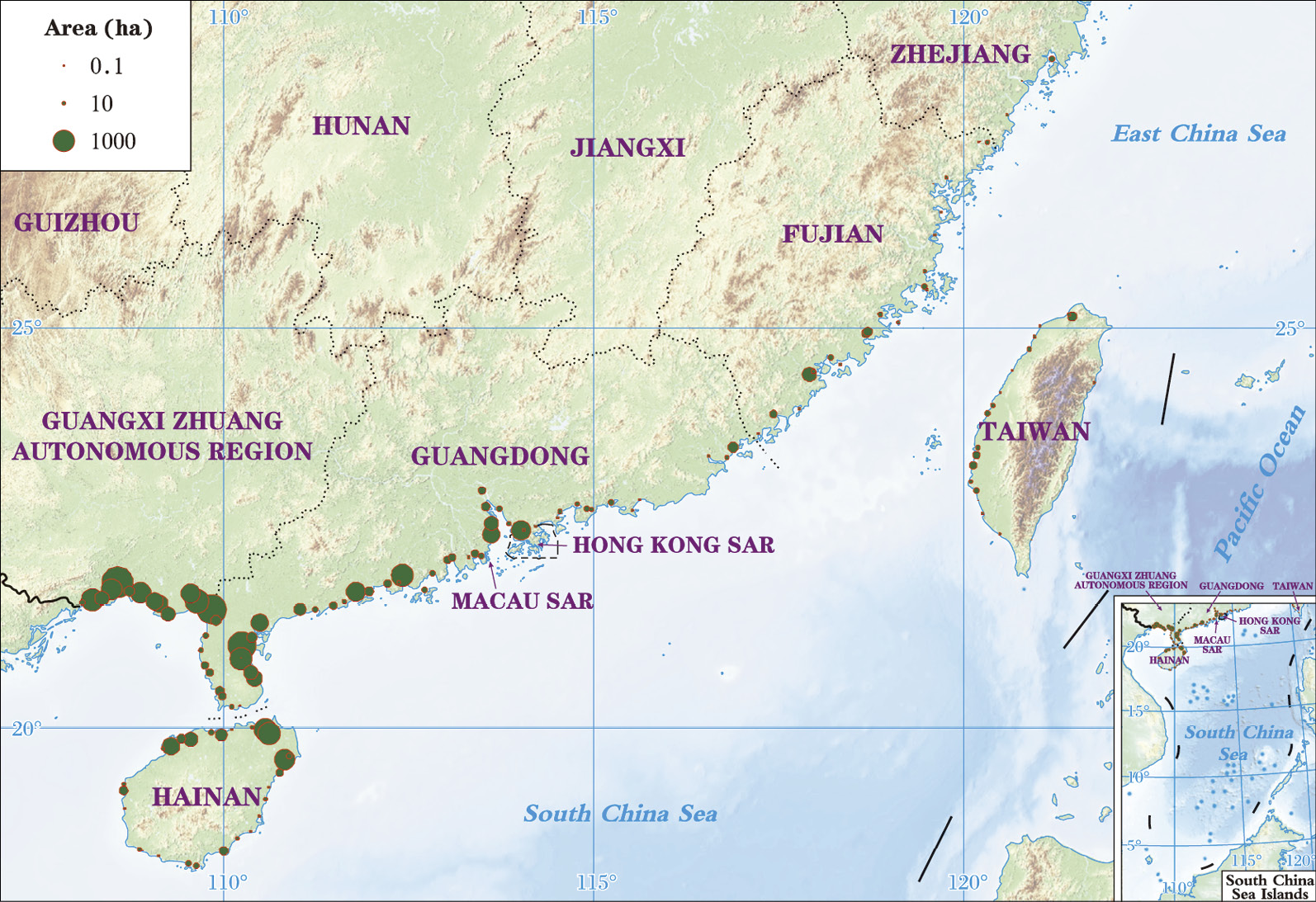
Figure 2-1 Distribution and extent of mangroves in China in 2018. The figure is provided by the Land Satellite Remote Sensing Application Center, MNR.
China was estimated to have nearly 50,000 hectares of mangroves in the early 1950s (Liao and Zhang, 2014). A massive loss of mangroves occurred due to the conversion of mangroves to agriculture, mariculture and urban lands resulting in a decrease of 22,000 hectares by 2000 (Dan et al., 2016). However, concerted efforts by the Chinese society as a whole since the beginning of this century have reversed the decline, and mangrove forests in China have expanded by approximately 9,700 hectares through restoration efforts, making the country one of the few countries with a large proportion increase in mangrove extent.
Although China accounts for less than 0.2% of the world’s total mangrove extent, it supports a high mangrove diversity. There are 37 native mangrove species belonging to 21 families in China, including 25 true mangrove species belonging to 14 genera of 11 families (Table 2-1), accounting for around one-third of the world’s mangrove species (Duke, 2017). Additionally, there are 12 mangrove associate species belonging to 12 genera of 10 families. The most common true mangrove species in China are K. obovata (Figure 2-2), Bruguiera gymnorhiza, Rhizophora stylosa, Aegiceras corniculatum and Avicennia marina. In addition, two alien true mangrove species, namely Sonneratia apetala and Laguncularia racemosa, introduced from Bangladesh in 1985 and Mexico in 1999, respectively, have become widespread in China.
Table 2-1 Species and current distribution of native true mangrove plants in China
| No. | Species | Hainan | Guangdong | Guangxi | Fujian | Zhejiang | Hong Kong | Macau | Taiwan |
| 1 | Acrostichum aureum | √ | √ | √ | Extinction | √ | √ | √ | |
| 2 | Acrostichum speciosum | √ | √ | ||||||
| 3 | Xylocarpus granatum | √ | |||||||
| 4 | Excoecaria agallocha | √ | √ | √ | Extinction | √ | √ | ||
| 5 | Sonneratia alba | √ | |||||||
| 6 | Sonneratia caseolaris | √ | |||||||
| 7 | Sonneratia × hainanensis | √ | |||||||
| 8 | Sonneratia ovata | √ | |||||||
| 9 | Sonneratia × gulngai | √ | |||||||
| 10 | Bruguiera gymnorhiza | √ | √ | √ | √ | √ | √ | Extinction | |
| 11 | Bruguiera sexangula | √ | |||||||
| 12 | Bruguiera sexangula var. rhynchopetala | √ | |||||||
| 13 | Ceriops tagal | √ | √ | Extinction | |||||
| 14 | Kandelia obovata | √ | √ | √ | √ | Introduced | √ | √ | √ |
| 15 | Rhizophora apiculata | √ | |||||||
| 16 | Rhizophora stylosa | √ | √ | √ | Extinction | √ | |||
| 17 | Rhizophora × lamarckii | √ | |||||||
| 18 | Lumnitzera littorea | √ | |||||||
| 19 | Lumnitzera racemosa | √ | √ | √ | √ | √ | |||
| 20 | Aegiceras corniculatum | √ | √ | √ | √ | √ | √ | ||
| 21 | Avicennia marina | √ | √ | √ | √ | √ | √ | √ | |
| 22 | Acanthus ebracteatus | √ | √ | √ | |||||
| 23 | Acanthus ilicifolius | √ | √ | √ | √ | √ | √ | √ | |
| 24 | Scyphiphora hydrophyllacea | √ | |||||||
| 25 | Nypa fruticans | √ | |||||||
| Total* | 25 | 12 | 10 | 7 | 9 | 6 | 9 |
* Only native species are listed. Modified according to Chen et al. (2021) and Wang et al. (2021)
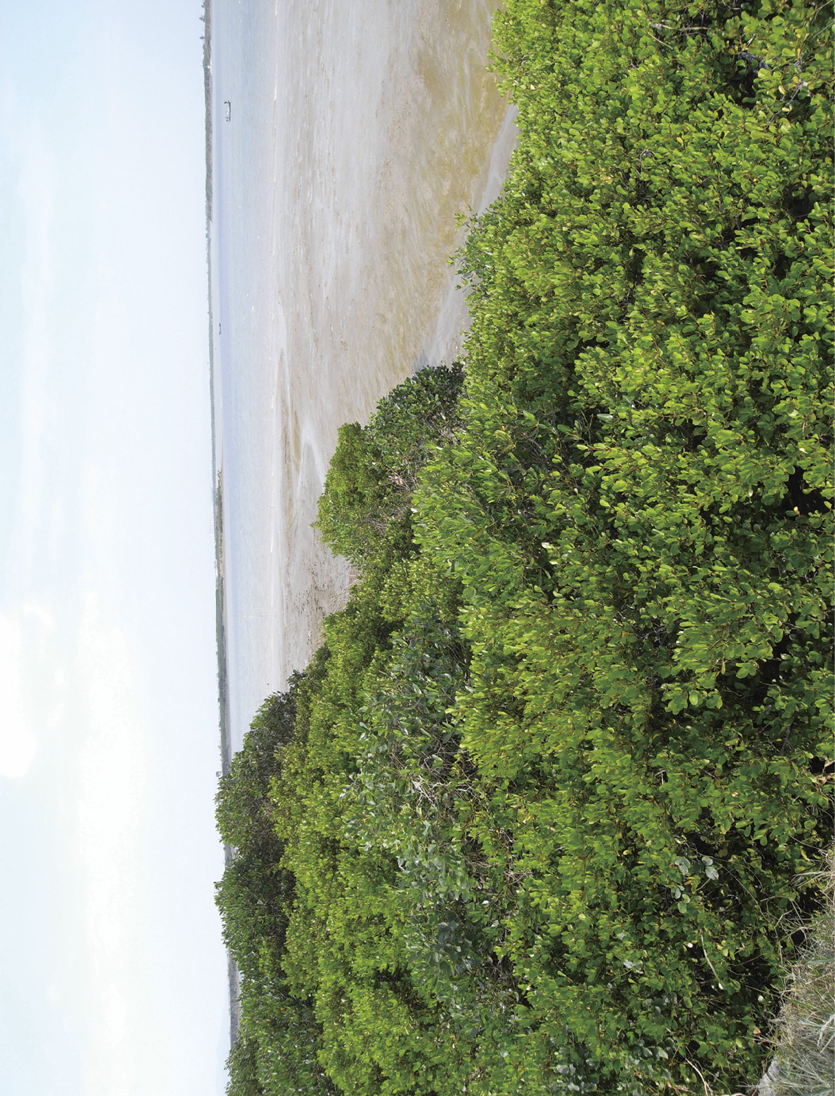
Figure 2-2 Kandelia obovata is the dominant mangrove species in Fujian Province
Mangrove species in China are characterized as highly endangered, primarily due to their population loss and habitat destruction associated with land use change and seawall construction in the mid-to-high intertidal zone. Currently, 20 of China’s 37 mangrove species (including both true mangroves and mangrove associate) are at risk of extinction, among which, Lumnitzera littorea, Sonneratia×hainanensis, Sonneratia ovata, and Rhizophora×lamarckii are classified as critically endangered (Wang et al., 2021; Zhang et al., 2021). Meanwhile, L. littorea, Nypa fruticans, Xylocarpus granatum, Pemphis acidula, and Hernandia nymphaeifolia are included in the National Key Protected Wild Plants List.
As the only tropical province, Hainan has the most mangrove species, where all recorded mangrove species in China can be found. It is also home to the most endangered mangrove species, accounting for 50% of the total endangered species in China. The number of mangrove species in China shows a gradual decrease with increasing latitude in China, with only one introduced mangrove species, K. obovata, occurring in Zhejiang Province.


2.2 Status of Mangrove Protection and Management


2.2.1 National policies and plans on mangrove protection and restoration
Strengthening the conservation and restoration of mangroves is vital to China’s marine conservation efforts in achieving ecological civilization and terrestrial restoration.
The protection of mangroves in China dates back to the 1980s. In 1982, the Standing Committee of the National People’s Congress of China issued the Marine Environmental Protection Law of the People’s Republic of China, which clearly stipulates that all actions damaging mangroves are prohibited. Since then, a series of national plans and regulations related to mangrove conservation have been issued, demonstrating China’s increasing attention and greater efforts in mangrove conservation.
Since 2000, China has further strengthened the protection and restoration of mangroves. On June 1, 2022, the country’s first specialized wetland protection law, the Wetland Protection Law of the People’s Republic of China, came into force, marking a new stage in the legal protection of mangroves in China. The law stipulates that digging ponds in mangrove wetlands, logging, digging or transplanting mangroves, overharvesting mangrove seeds, releasing or planting species that endanger the growth of mangroves are prohibited. In 2023, the revised Marine Environmental Protection Law of China emphasizes that priority should be given to the protection of mangroves. These laws provide clear evidence of the country’s enhanced conservation efforts and improved administrative systems for mangroves.
In August 2020, the Special Action Plan for Mangrove Protection and Restoration (2020-2025) was jointly released by the Ministry of Natural Resources and the National Forestry and Grassland Administration. It requires comprehensive protection of existing mangroves and to advance the establishment of mangrove protected areas. It also requires the removal of development and production activities, including aquaculture in the protected areas, and restoring their ecological functions. The action plan set out a target of afforesting 9,050 hectares of mangroves and restoring 9,750 hectares of degraded mangroves by the year 2025 (Ministry of Natural Resources, 2020). This action plan marks a strategic shift in China’s mangrove conservation, transitioning from extent-based management to ecosystem function-based management.
The protection and restoration of mangroves are clearly defined as part of the country’s efforts to address the climate change crisis. China has pledged to peak carbon dioxide emissions by 2030 and achieve carbon neutrality by 2060. The Action Plan for Carbon Peaking Before 2030, issued in 2021 (The State Council, 2021), explicitly states that ‘We will comprehensively protect and restore marine ecosystems, improve the carbon sequestration capacity of mangroves, seagrass beds, and salt marshes’. In the same year, the role of mangroves as a blue carbon ecosystem was further recognized in China’s Nationally Determined Contributions (United Nations Framework Convention on Climate Change, 2021), which states that China will protect and restore the existing blue carbon ecosystems by means of various blue carbon pilot projects and marine ecological protection and restoration projects, giving full play to the role of blue carbon in mitigating climate change. Carbon sequestration capacity of mangroves, seagrass beds, salt marshes and others will be tapped. Moreover, a carbon market mechanism has also been established to facilitate mangrove restoration. China Certifited Emission Reduction (CCER), the national voluntary carbon market scheme, has released a project methodology for mangrove afforestation (Ministry of Ecology and Environment, 2023), of which the carbon credit could be used to offset up to 5% of the verified emissions in the National Emissions Trading Scheme.


2.2.2 Progress on mangrove ecological protection and restoration
In China, nature reserves and the ecological conservation red lines (ECRLs) are the primary means of strengthening the protection and management of mangroves. Since the establishment of the first mangrove nature reserve in 1980 in Hainan, China has continuously advanced the construction of mangrove protected areas, and has formed a mangrove protected area system composed of nature reserves, special marine protected areas, and wetland parks. According to a special survey conducted by the National Forestry and Grassland Administration, a total of 52 mangrove protected areas, including 6 national nature reserves, had been established in Chinese mainland by 2019, with more than 55% of mangroves being protected (Ministry of Natural Resources of the People’s Republic of China, 2020). The Zhanjiang Mangrove National Nature Reserve is the largest mangrove reserve in China, covering a vast area of 7,200 hectares mangroves (Figure 2-3).
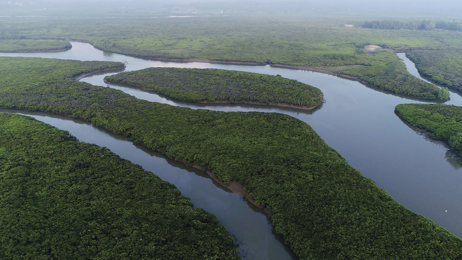
Figure 2-3 Located in the southernmost Leizhou Peninsula of Guangdong Province, the Zhanjiang Mangrove National Nature Reserve is the largest mangrove reserve in China, covering a vast area of 7,200 hectares of mangroves
As an institutional innovation of the Chinese government, the ECRLs aim to balance ecological protection and social development. It refers to areas of special importance to ecological functions and must be strictly protected through legal enforcement within the scope of ecological space. By 2023, more than 150,000 km2 of marine areas in China had been demarcated within the red lines, including 99% of the existing mangrove areas (Ministry of Natural Resources, 2023).


2.2.3 Status of mangrove ecological restoration
The practice of mangrove ecological restoration in China can be traced back to the 1950s, when it was mainly initiated by local communities on a small scale. Since the 1990s, mangrove restoration has entered a period of rapid development, and in the past decade, China’s coastal regions have stepped up efforts to protect and restore mangroves by implementing a series of national restoration programs, including the Blue Bay Remediation Project, the Coastal Protection and Restoration Engineering Project, the Coastal Shelterbelt Construction Project, and the Wetland Conservation and Restoration Project.
The mangrove restoration activities in China mainly consist of mangrove afforestation on mudflats, reforestation in retired mariculture ponds and Spartina alterniflora cleared areas1, and restoration of degraded mangroves. Techniques have been developed for afforestation, transformation and optimization of degraded secondary mangroves, species introduction and cultivation, and mangrove plantation in specific habitats. Among the 25 native true mangrove species in China, nursery techniques have been developed for 23 species, including the endangered species L. littorea (Wang et al., 2021). On the basis of research and practice, China has published a total of 29 national, industry (e.g., marine and forestry) and local standards related to mangrove conservation to guide mangrove seedling cultivation, plantation, monitoring, evaluation of restoration effectiveness, and pest and disease control.
During the restoration practices, China has successfully implemented numerous restoration projects, among which the mangrove wetland construction project in Xiatanwei, Xiamen, has been demonstrated as highly socio-ecologically beneficial.
Xiatanwei is located at the top of Tong’an Bay in Xiamen City, Fujian Province. Due to the sea enclosure, reclamation and construction of mariculture ponds, the original mangroves were lost. Long-term mariculture and coastal construction activities had led to the deterioration of the seawater environment and the topographic disturbance of the tidal flats (Figure 2-4). In order to enhance the wetland ecosystem quality, a mangrove restoration project was launched in 2011, with topographic amendment and mangrove reforestation being carried out after aquaculture areas were reclaimed.
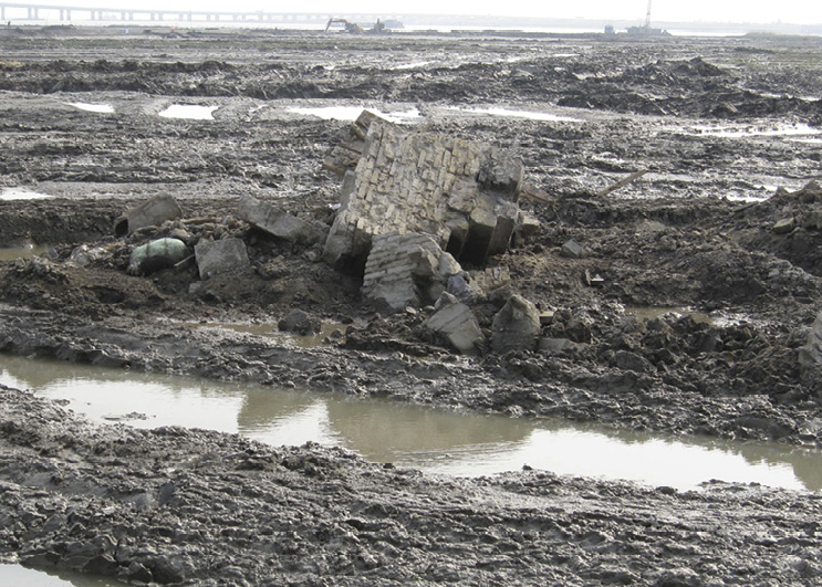
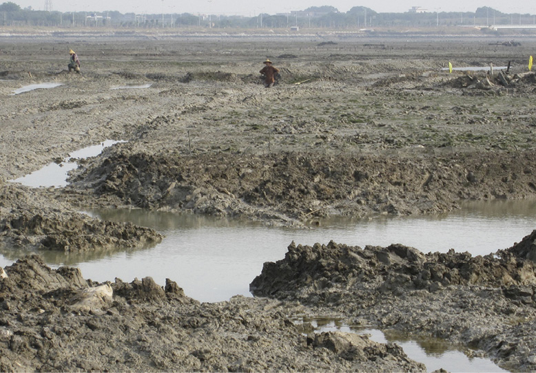
Figure 2-4 The scene of tidal flats before ecological restoration in Xiatanwei
Engineering measures were used to transform the topography of the restoration area, creating tidal flats along the shoreline and on offshore islets with suitable elevation for mangrove establishment, as well as waterways. A total of 80 hectares of mangroves were planted, mainly using K. obovata, the dominant mangrove species in southern Fujian. Other mangrove species including A. corniculatum, B. gymnorrhiza, and A. marina were also planted to increase the species diversity. The plantation of K. obovata was performed using propagules, and” a “stick-assisted method” was applied to improve the survival of seedlings (Figure 2-5). Continuous maintenance was carried out to eliminate human disturbance and ensure the establishment of mangrove seedlings. Such science-based planning and implementation have resulted in good afforestation performance, and the survival rate of mangrove seedlings reached about 80% in the first year, and remained above 70% three years after planting.

Figure 2-5 Schematic diagram of the stick-assisted method invented by Lu and Zheng (2002). In the stick-assisted method, the lower part of the propagule is tied to a stick using straps to create a downward extension of the planting body, which is then planted by putting its bottom end into the mudflat.
In addition to mangrove afforestation, boardwalks, viewing platforms and nature education centers were constructed. These facilities are designed to provide spaces for visitors to rise public awareness about the importance and conservation of mangrove wetlands (Figure 2-6). Today, the Xiatanwei mangrove wetland stands as the largest artificially created mangrove-themed ecological park in Fujian Province, demonstrating a successful example of ecological restoration in China.
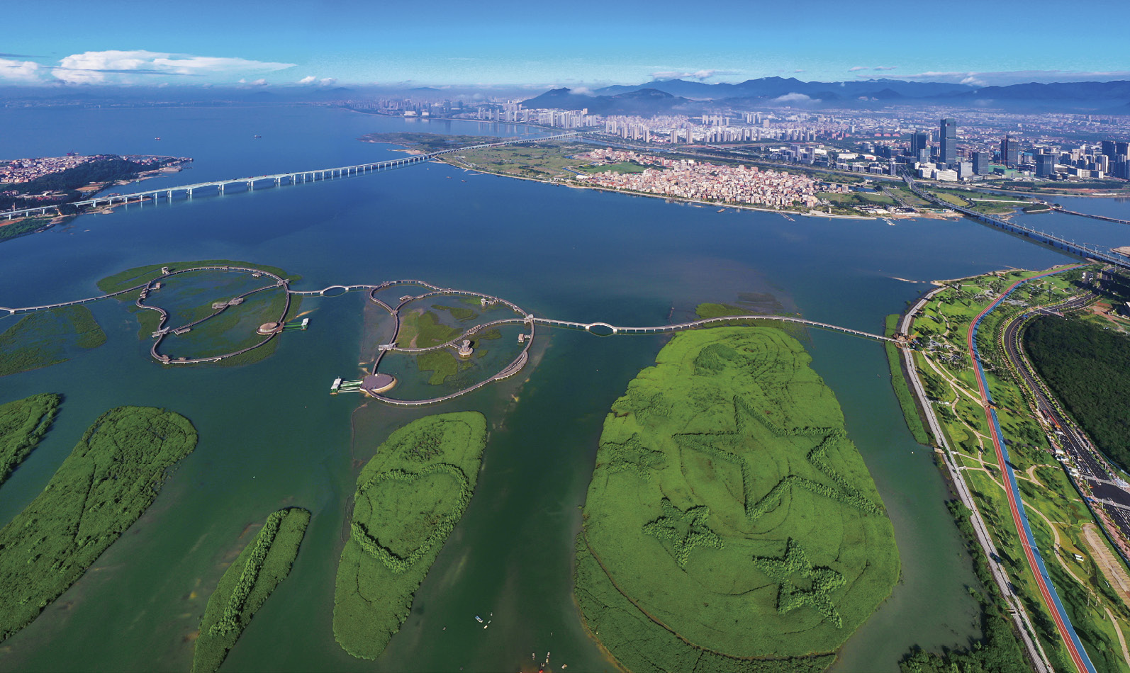
Figure 2-6 The mangrove view of Xiatanwei after restoration.


2.3 Challenges and Recommendations for Mangrove Conservation
Despite remarkable conservation achievements in China, the safeguarding and restoration of mangroves are still facing various challenges.
Unlike the situation in previous centuries, that mangroves were primarily threatened by deforestation, they are currently subject to local degradation resulting from various anthropogenic or natural impacts. These include alien species invasions, environmental pollution, pests and diseases, and coastline erosion. In particular, the impact of insect pests and diseases on mangroves has become apparent in recent years. These impacts are occurring more frequently and spreading, caused by a more diverse range of pests and pathogens (Chen et al., 2021; Yang et al., 2025). In some areas of China, Derris trifoliata, a common mangrove-associated plant, has also caused serious damage to mangroves in recent years. D. trifoliata entwines around mangrove trees and forms a dense canopy that smothers mangrove foliage. The entwined mangrove trees gradually die due to reduced photosynthesis and growth, resulting in the gradual loss of mangroves (Figure 2-7). Furthermore, most of the mangroves are located in front of the seawalls in China, which would further weaken their self-sustainability and resilience to sea level rise. Nevertheless, current science and technology are insufficient to address these emerging degradation issues of mangroves.
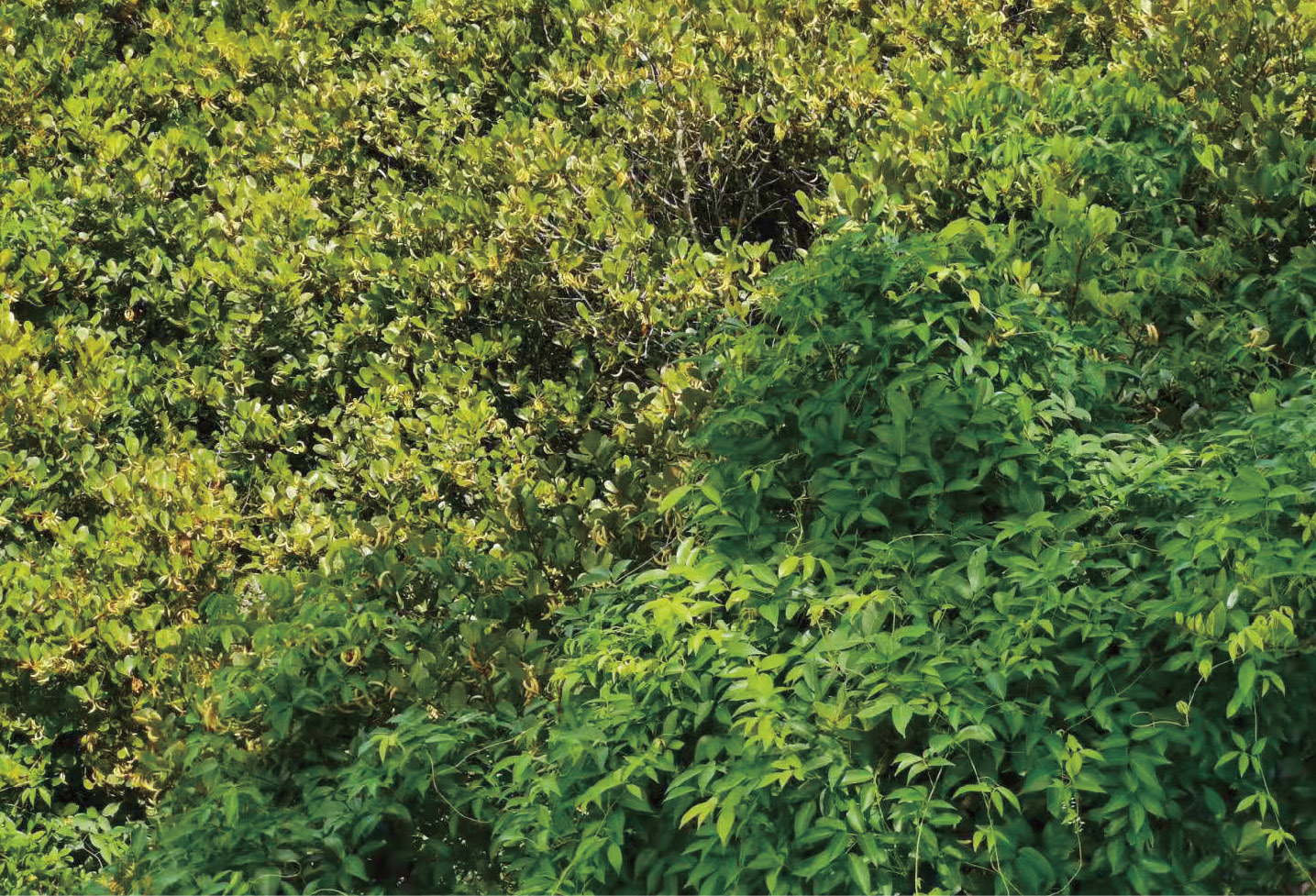
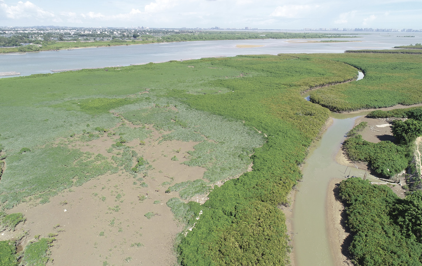
Figure 2-7 Overgrowth of Derris trifoliata causing the degradation of Aegiceras corniculatum mangrove
In terms of investment in restoration projects, the current funds are provided mainly by the central and local fiscal funds. From 2016 to 2023, the central government financially supported the coastal cities, with a total investment of 25.258 billion RMB in 175 marine ecological protection and restoration projects. As a result, a total of 1,680 kilometers of coastline and over 50,000 hectares of coastal wetlands were restored nationwide (The State Council Information Office of the People’s Republic of China, 2024). In contrast, the participation of private sectors remains relatively low, although incentives such as social capital participation and ecological protection compensation have been issued in China. During the restorations, the participation of local communities is also insufficient in the project design, project implementation, and post-project management.
Moreover, the pathway and extent of realizing the ecological value of restored mangroves are insufficient. Mangroves provide coastal communities with food, commercial products, and relaxation services, supporting local economic development. Strict protection would raise concerns regarding the balance between mangrove conservation and coastal area development. Enhancing the ecosystem services and supply of ecosystem goods during restorations are encouraged to motivate the participation of private sectors. However, gaps persist in the policies and technologies required for the sustainable utilization of mangroves. For instance, the integrated mangrove-aquaculture system, an innovative approach designed to balance aquaculture production with mangrove restoration, has received considerable interest in recent years. Yet, its implementation in China faces not only technical challenges, but also management difficulties.
Therefore, while protecting the existing mangroves in China, actions should be taken to implement the ecological restorations and continuous maintenance of the restored sites, strengthen monitoring and risk assessment, and repopulate the endangered species. It is also recommended to adopt diversified approaches in the restoration, such as nature education, ecotourism, carbon trading, and ecological aquaculture, to increase the value of mangrove ecosystem services and to incentivize the participation of social capital.
Finally, efforts should be made to strengthen planning and research on ecological restoration at the regional scale. It is also essential to advance ecosystem-based science and techniques to support mangrove conservation. This should include understanding the mechanisms behind wetland degradation, developing targeted restoration techniques for mangroves affected by various degradation factors, and promoting repopulation and habitat restoration of endangered species, and enhancement of the functions and services of the ecosystem.


Reference
Agriculture, Fisheries and Conservation Department of Hong Kong. https://www.afcd.gov.hk/tc_chi/conservation/con_wet/con_wet_man/con_wet_man_dis/con_wet_man_dis.html[2025-4-3]
Chen G C, Chen S Y, Chen B, et al. 2021 Mangrove Ecological Restoration Guidebook. Beijing
Dan X Q, Liao B W, Wu Z B, et al. 2016. Resources, conservation status and main threats of mangrove wetlands in China. Ecology and Environmental Sciences, 25(7): 1243-1247
Duke N C. 2017. Mangrove Floristics and Biogeography Revisited: Further Deductions from Biodiversity Hot Spots, Ancestral Discontinuities, and Common Evolutionary Processes // Rivera-Monroy V H, Lee S Y, Kristensen E, et al. Mangrove Ecosystems: A Global Biogeographic Perspective: Structure, Function, and Services. Cham: Springer International Publishing: 17-53
Liao B W, Zhang Q M. 2014. Area, distribution and species composition of mangroves in China. Wetland Science, 12(4): 435-440
Lin F J, Chang S H, Lin C W, et al. 2026. Rapid estimation of mangrove area and carbon sequestration in land subsidence regions of coastal Taiwan. Ecologies, 7(1): 21
Lin P. 1984. Mangroves Vegetation. Beijing: Ocean Press
Lu C Y, Zheng F Z. 2002. The breeding methods of mangrove propagules. China Patent: ZL01141706.4
Ministry of Ecology and Environment. 2023. The Ministry of Ecology and Environment Releases 4 Methodologies of Greenhouse Gas Emissions Voluntary Reduction Project. https://www.mee.gov.cn/ywgz/ydqhbh/wsqtkz/202310/t20231025_1043940.shtml[2023-10-25] (in Chinese)
Ministry of Natural Resources of the People’s Republic of China. 2020. Press Conference on the Action Plan for Mangrove Protection and Restoration (2020–2025). Ministry of Natural Resources. https://www.mnr.gov.cn/dt/zb/2020/hongsl/ [2020-8-28] (in Chinese)
Ministry of Natural Resources. 2023. Blue Book on China’s Ecological Conservation Red Lines. Beijing: China Dadi Press
National Forestry and Grassland Administration, Ministry of Natural Resources, Ministry of Ecology and Environment, Ministry of Water Resources, Ministry of Agriculture and Rural Affairs. 2023. Special Action Plan on Spartina alterniflora Control (2022-2025). National Forestry and Grassland Administration, Beijing, China. https://www.forestry.gov.cn/c/www/gsgg/368584.jhtml[2025-5-10] (in Chinese)
Tagulao K A, Bernardo A B I, Kei L H. 2020. Mangrove conservation in Macau SAR, China: the role of environmental education among school students. Int J Environ Res Public Health, 19(6): 3147
The State Council. 2021. Notice of the State Council on Issuing the Action Plan for Carbon Dioxide Peaking Before 2030. https://www.gov.cn/zhengce/content/2021-10/26/content_5644984.htm[2024-10-25]
The State Council Information Office of the People’s Republic of China. 2024. Marine Eco-Environmental Protection in China . http://www.scio.gov.cn/zfbps/zfbps_2279/202407/t20240711_854815.html[2025-4-30]
United Nations Framework Convention on Climate Change. 2021. China’s Achievements, New Goals and New Measures for Nationally Determined Contributions. https://unfccc.int/sites/default/files/NDC/2022-06/China%E2%80%99s%20Achievements%2C%20New%20Goals%20and%20New%20Measures%20for%20Nationally%20Determined%20Contributions.pdf[2025-3-15]
Wang W Q, Shi J B, Chen L Z, et al. 2021. Strategy Study on of Protection and Restoration of Mangrove Wetlands in China. Beijing: China Environmental Press
Wang W Q, Wang M. 2007. The Mangroves of China. Beijing: Science Press
Yang H, Ling S Q, Tian L Y, et al. 2025. Current status of mangrove pests in Guangdong Province and suggestions for their control management. Wetland Science, 23(2): 262-273.
Zhang Y, Chen G C, Zhong C R. 2021. Research on endangered mangrove species and recovery status in China. Journal of Applied Oceanography, 40(1): 142-153 (in Chinese)


Chapter 3 Mangrove Conservation and Restoration in Indonesia: Status and Management
Authors:
• Virni Budi Arifanti, Research Center for Ecology, National Research and Innovation Agency of the Republic of Indonesia (BRIN)
• Frida Sidik, Research Center for Ecology, National Research and Innovation Agency of the Republic of Indonesia (BRIN)


Abstract
Indonesia is the largest archipelagic country in the world and hosts 21% of the global mangrove areas with over 40 species of true mangroves. Based on the National Mangrove Map released by the Indonesian Government in 2025, a recent estimate of Indonesia’s mangroves cover in 2025 is 3,455,628 hectares (Ministry of Environment of the Republic of Indonesia, 2026), which is higher than FAO data. This estimate is almost half of the mangrove cover 50 years ago that was destroyed for aquaculture and coastal development. Considering the large loss of mangrove forests, the government has taken actions to compensate the loss by releasing a number of regulations related to mangrove protection and management, continuing to rehabilitate 600,000 hectares of mangrove forests and expanding the areas of protected mangroves. However, Indonesia still faces challenges in managing and protecting mangroves that need to be resolved by addressing several issues, such as policies and governance, knowledge and data, funding, community and public participation. Mangrove restoration shows varied results, suggesting the importance of the improvement of restoration methods and post-restoration management that result in socioeconomic benefits and sustainable future for Indonesia’s mangrove ecosystems.


3.1 Status of Mangrove Resources


3.1.1 Area of distribution
Indonesia has the largest mangrove area globally, accounting for about 21% (Leal and Spalding, 2024) of the global mangrove area. Historically, Indonesia’s mangrove area was estimated at 4.2 million hectares in 1980 (Murdiyarso et al., 2015). As indicated in Table 3-1, a significant decline occurred between 1982 and 1987, dropping from 5.21 million hectares to 3.24 million hectares, further decreasing to 2.5 million hectares by 1993 (Ilman et al., 2011). Between 1980 and 2005, the annual deforestation rate was approximately 52,000 hectares, or 1.24% per year (FAO, 2007). This rate of loss significantly outpaced rehabilitation efforts (Ilman et al., 2011). Indonesia has experienced the loss of nearly half (approximately 48.6%) of its mangrove coverage over the last 50 years, primarily due to conversion for aquaculture and coastal development (Ilman et al., 2011). Over the past three decades alone, around 40% of the mangrove area has been lost (Arifanti et al., 2025; Murdiyarso et al., 2015). The peak of mangrove deforestation in the last decade was observed in 2015/2016, with over 19,903 hectares impacted (Sidik et al., 2023). Estimates for the extent of mangroves in Indonesia vary, which can be attributed to differences in methodologies and definitions used in surveys (Ilman et al., 2011; Arifanti et al., 2022a; Rahadian et al., 2019). Recent data estimate Indonesia’s mangrove area at approximately 3,455,628 hectares (Ministry of Environment of the Republic of Indonesia, 2026).
Table 3-1 Historical mangrove area in Indonesia
| Year | Area/hectares | Source | Notes |
| 1950 | 2,500,000 | FAO (Ilman et al., 2011) | Excludes Bali and Nusa Tenggara |
| 1982-1987 | 5,210,000 | Widigdo (Ilman et al., 2011) | Beginning of period |
| 1987 | 3,240,000 | Widigdo (Ilman et al., 2011) | End of period |
| 1993 | 2,500,000 | Widigdo (Ilman et al., 2011) | |
| 2000 | 2,930,000 | Giesen et al. (Ilman et al., 2011) | |
| 2005 | 2,900,000 | FAO (Ilman et al., 2011) | |
| 2009 | 3,244,018 | Bakosurtanal (Ilman et al., 2011) | Based on satellite imagery analysis |
| 2010 | 3,000,000-3,189,400 | Spalding et al. (Alongi et al., 2016; Ilman et al., 2011) |
30,000 km² or 31,894 km² |
| 2020 | 3,311,207 | Ministry of Forestry of the Republic of Indonesia (2021) |
|
| 2021 | 3,364,080 | Ministry of Forestry of the Republic of Indonesia (2022) | Compilation of 2013 data for Java; 2014 for Sumatra; 2015-2018 for Sulawesi, Bali-Nusa Tenggara, Kepulauan Maluku, Kalimantan; and 2019 for Papua |
| 2023 | 3,442,614 | Ministry of Forestry of the Republic of Indonesia (2024) |
|
| 2024 | 3,440,464 | Ministry of Forestry of the Republic of Indonesia (2025) |
|
| 2025 | 3,455,628 | Ministry of Environment of the Republic of Indonesia (2026) |


3.1.2 Species composition
Indonesia is recognized for its high level of mangrove diversity. The dominant mangrove species belong to the families Acanthaceae (Avicennia spp.), Lythraceae (Sonneratia spp.), and Rhizophoraceae (Bruguiera spp., Ceriops spp., Rhizophora spp.) (Rahman et al., 2024) (Figure 3-1, Figure 3-2). According to IUCN Red List of Ecosystems, Indonesia lies in the regional ecosystem subgroups of Sunda Shelf, Western Coral Triangle and Java Transitional Zone. These regions host over 48 species of true mangroves including Avicennia lanata, Aegiceras floridum, Bruguiera hainesii, Camptostemon philippinense, Sonneratia ovata, which are categorized as vulnerable (Macintosh et al., 2025). Rare mangrove species, such as Aglaia cucullata and Brownlowia argentata are also reported to occur in Indonesia.
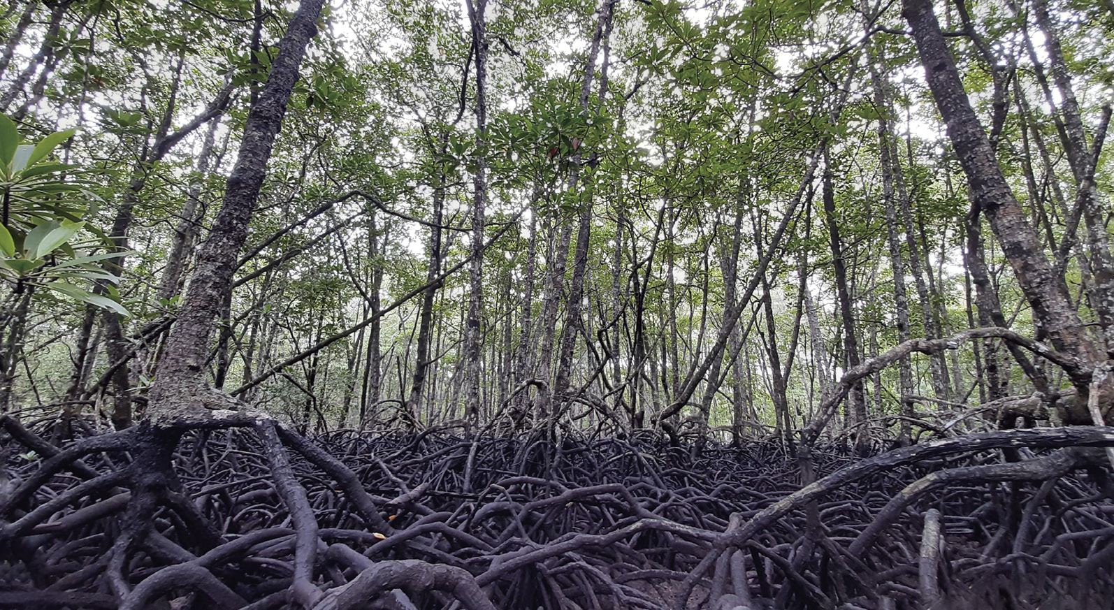
Figure 3-1 Rhzhophora mangrove forest in Belitung Island. (Photo by Frida Sidik)
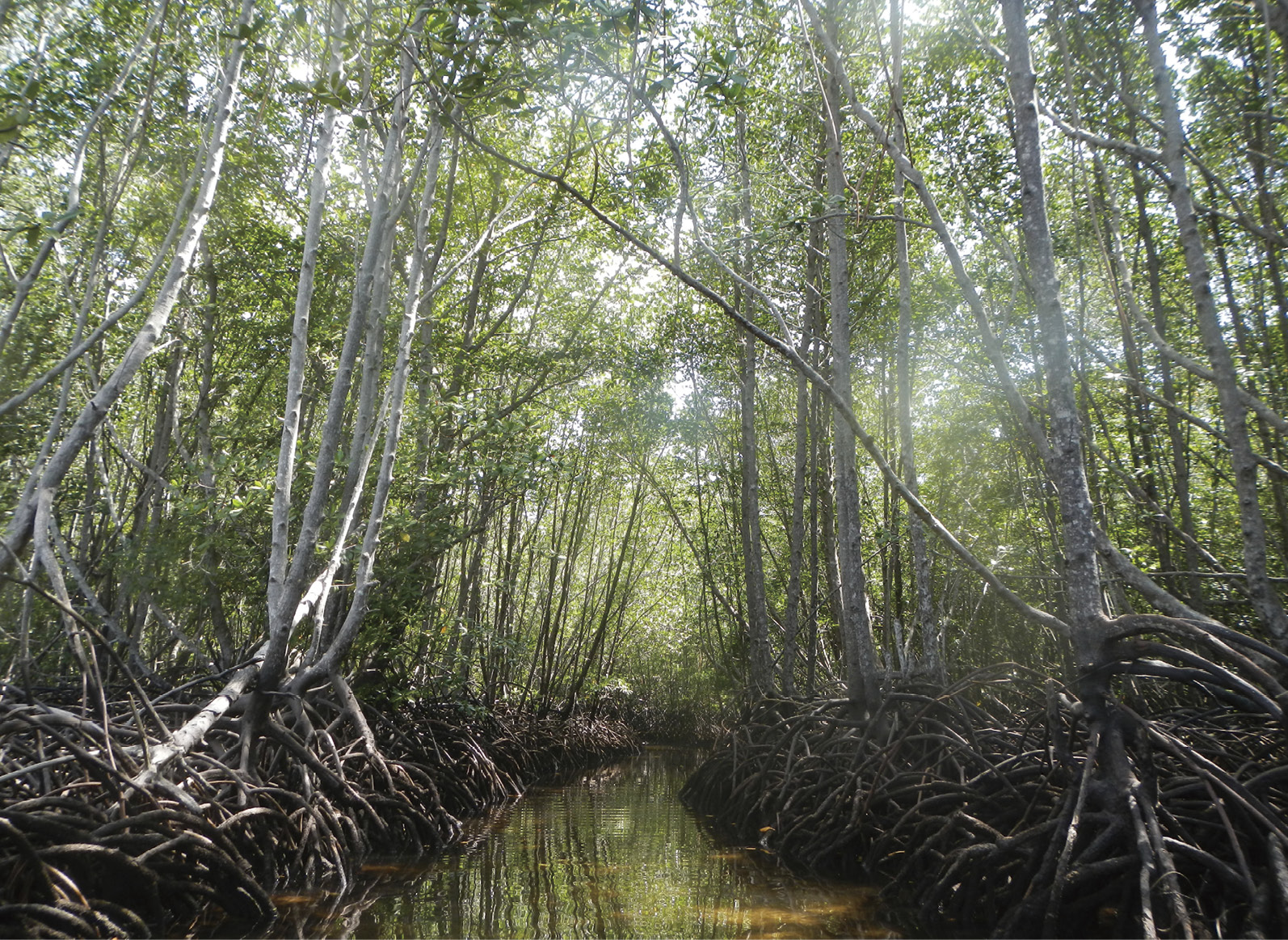
Figure 3-2 Rhizophora mangrove forest in Nusa lembongan (Photo by Frida Sidik)


3.1.3 Key distribution
Indonesia’s position within the Indo-Pacific Coral Triangle makes it a crucial region for tropical marine biodiversity, including mangrove ecosystems (Alongi et al., 2016). These critical ecosystems are distributed across all 34 provinces of Indonesia (Figure 3-3), with a significant concentration in the eastern parts of the country (Arifanti et al., 2025). Mangroves thrive along Indonesia’s tropical coastlines in sheltered areas such as estuaries and deltas (Rahadian et al., 2026).
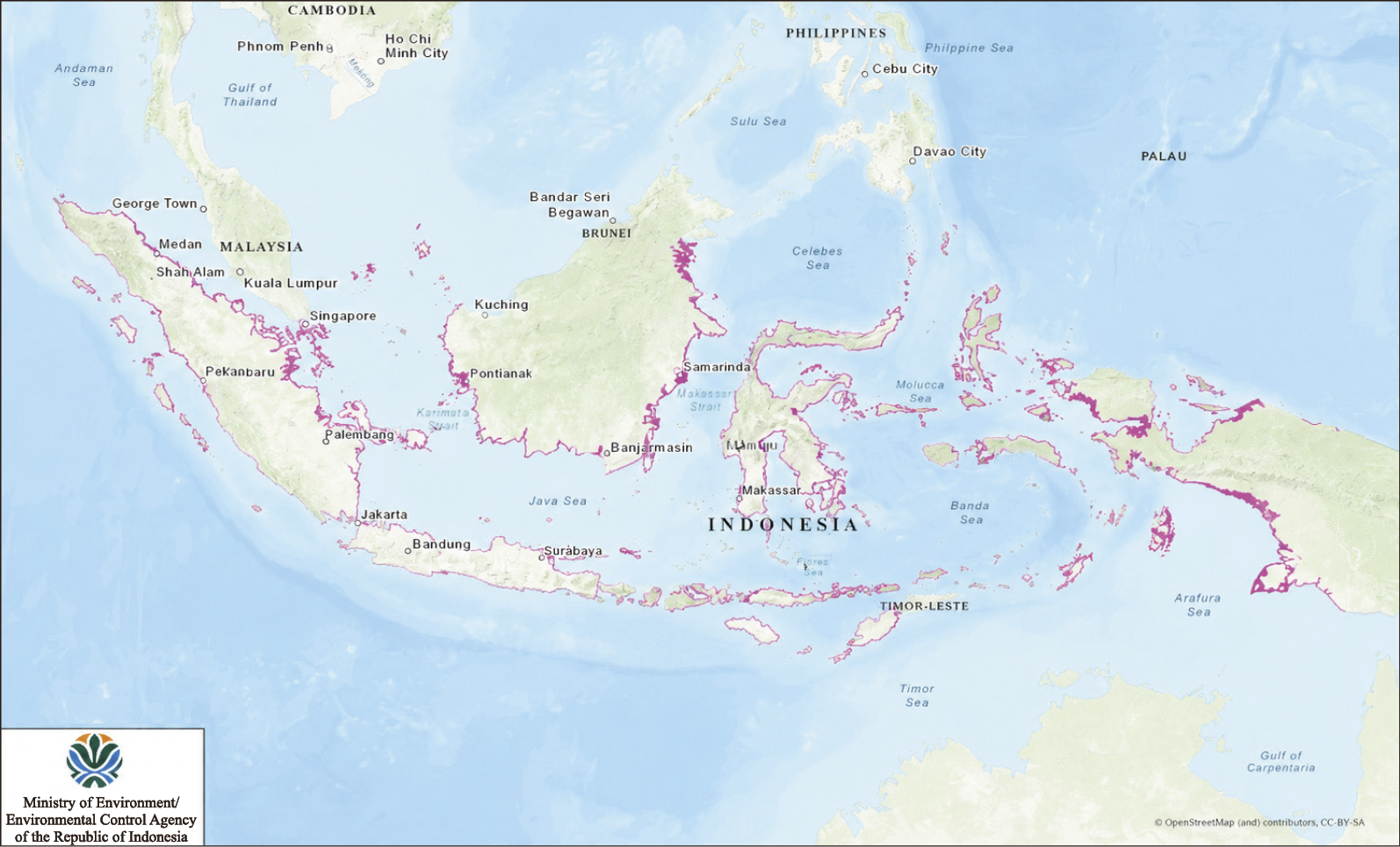
Figure 3-3 Indonesia’s mangrove distribution map in 2025 (Source: Ministry of Environment of the Republic of Indonesia, 2026).
Dominance in Eastern Indonesia: a substantial portion of Indonesia’s mangrove forests is located in the eastern regions of the country (Arifanti et al., 2025).
According to 2020 data, the five provinces with the largest mangrove areas are Papua (26.6%), West Papua (17.5%), East Kalimantan (7.5%), North Kalimantan (5.6%), and Riau (5.2%). Beyond this spatial distribution, several key sites exhibit unique ecological characteristics. For instance, Bintuni in West Papua boasts the nation's highest average mangrove carbon stock (Murdiyarso et al., 2015). Furthermore, critical protected areas—such as Sembilang National Park, Tanjung Puting National Park, Kubu Raya, and Bunaken—serve as biosphere reserves and Ramsar sites with substantial mangrove presence (Arifanti et al., 2025; Murdiyarso et al., 2015), while the Pulau Dua Mangrove Nature Reserve is globally recognized as a Ramsar site famed for its rich bird diversity (Ilman et al., 2011).
Based on the results of mapping and spatial calculations conducted during the 2025 National Mangrove Map update, the total area of mangrove cover across the entire region was determined to be 3,455,628 hectares, with the distribution dominated by dense mangrove stands covering 3,188,062 hectares (92.26%), followed by the moderate mangrove class covering 180,398 hectares (5.22%), and the sparse mangrove class covering 87,168 hectares (2.52%) (Ministry of Environment of the Republic of Indonesia, 2026).


3.2 Status of Mangrove Conservation and Management


3.2.1 National policies on mangrove protection and restoration
The Government of Indonesia has a strong commitment to implement regulations related to mangrove conservation and management. Since the 1970s the Government of Indonesia has started to enact regulations that recognized mangrove forests as important natural resources to be protected. In the 1990s, the Ministry of Forestry declared several mangrove areas as conservation or protected forests under the Law No. 5/1990 on Conservation of Living Natural Resources and Their Ecosystems. The Ministry of Marine Affairs and Fisheries also has a mandate to declare conservation areas through its regulatory framework under the Law No. 32/2014 on the Sea and the Law No. 27/2007 on the Management of Coastal Areas and Small Islands. Currently, the government has released a law on mangrove protection and management under Government Regulation No. 27/2025. In the presence of globally significant Indonesia mangrove forests as blue carbon and the major potential for restoration, Indonesia has invested in development of blue carbon policies for mangroves (Sidik et al., 2023). In 2021 mangroves were included in the National Greenhouse Gas Inventory and as a component of NDC under Forest and Land Use (FOLU) through the Presidential Decree 98/2021.
Mangrove forests are administered based on a national law that classifies the land designation into” “Forest Areas” (FA)’ and “Areas for Other Uses” (APL) (Areal Penggunaan Lain, APL)’. Based on the Government of Indonesia’s Decree No. 27/2025 on Mangrove Ecosystem Protection and Management, mangrove in forest areas is managed by the Ministry of Forestry under three forest classifications: conservation forest, protected forest and production forest. Mangrove forests in non-forest areas are managed by the Ministry of Environment, the Ministry of Marine Affairs and Fisheries, the local governments, communities, private sectors, and other stakeholders.
The existing mangrove management policies in Indonesia are managed by different authorities with their respective responsibilities (Arifanti et al., 2022b). The main challenge lies in the complexity of mangrove governance that needs coordination and communication of related stakeholders, both those with authority and those affected by the policy (Arifanti et al., 2022b). To address this issue, the government established working groups consisting of cross-agencies and multi-stakeholders at the national (Kelompok Kerja Mangrove Nasional) and sub-national levels (Kelompok Kerja Mangrove Daerah) to facilitate coordination among the governmental and non-governmental stakeholders in managing mangroves.


3.2.2 Status of mangrove ecological management
Based on a joint report released by the Ministry of Environment and Forestry and the Ministry of Marine Affairs and Fisheries, combined “land” and “marine” protected and conservation areas under the management of the Ministry of Forestry and the Ministry of Marine Affairs and Fisheries have created a total area under protection of 17.2 million hectares in 2010, which included over 758,472 hectares of mangrove forests. For example, the 202 hectares mangrove forest on the northern coast of Nusa Lembongan is officially protected as part of the Nusa Penida Marine Protected Area (MPA). (Palguna et al. 2017) (Figure 3-4) Several conservation areas have been declared as part of the Biosphere Reserves, Ramsar sites or UNESCO World Heritage sites (Table 3-2). The area of protected mangroves is increasing as the Ministry of Marine Affairs and Fisheries sets a target to establish marine protected areas (MPAs) covering 26.9 million hectares by 2024 (Ministerial Regulation of the Ministry of Marine Affairs and Fisheries No. 17/2020). The central government collaborates with the local government and community to conduct mangrove management and conservation activities with the objectives of protecting sustainability of ecosystem functions and enhance the wise use of natural resources.
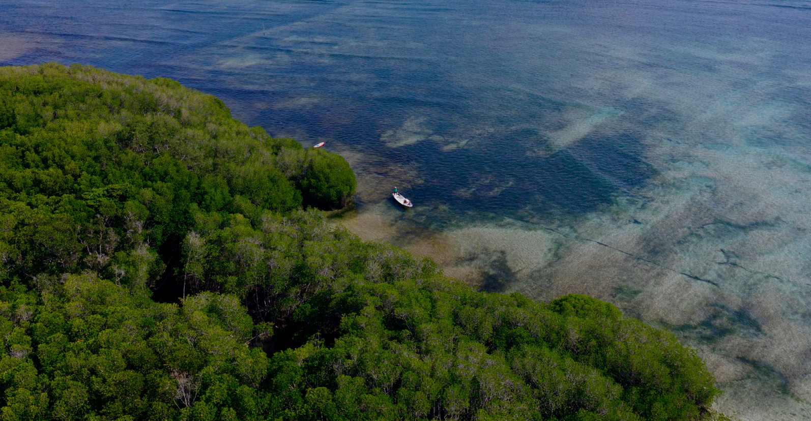
Figure 3-4 Mangroves at Nusa Lembongan. (Photo by SEE Foundation)
Table 3-2 List of conservation areas in Indonesia that contain mangrove ecosystem
| Name | Location | Status | Biosphere Reserves* | Ramsar site** | UNESCO World Heritage |
| Wakatobi | Sulawesi | NP | X | ||
| Togean Tojo Una-Una | Sulawesi | NP | X | ||
| Tanjung Puting | Kalimantan | NP | X | X | |
| Taka Bonerate-Kepulauan Selayar | Sulawesi | NP | X | ||
| Siberut | Sumatra | NP | X | ||
| Samota | Nusa Tenggara | NP | X | ||
| Komodo | Nusa Tenggara | NP | X | X | |
| Bunaken Tangkoko Minahasa | Sulawesi | NP | X | ||
| Berbak-Sembilang | Sumatra | NP | X | X | |
| Blambangan (Alas Purwo) | Java | NP | X | ||
| Ujung Kulon | Java | NP | X | ||
| Pulau Rambut | Java | WR | X | ||
| Rawa Aopa Watumohai | Sulawesi | NP | X | ||
| Wasur | Papua | NP | X | ||
| Raja Ampat | Papua | NP | X |
Notes: * Man and the Biosphere Programme website (https://www.unesco.org/en/mab)
** Convention on Wetlands Secretariat website (https://www.ramsar.org/)
UNESCO. 2020. UNESCO Marine World Heritage: Custodians of the globe’s blue carbon assets. Paris, France, with data from the UNESCO World Heritage Convention website (https://whc.unesco.org/)
NP: National Park; WR: Wildlife Reserve; X: belong to


3.2.3 Status of mangrove ecological restoration
There has been a marked increase in mangrove restoration efforts in Indonesia. In 2020, the government set an ambitious target of restoring 600,000 hectares of degraded mangroves by 2024 and tasked the Peatland and Mangrove Restoration Agency (BRGM) to facilitate the government in achieving the restoration targets. The restoration program has been implemented in degraded mangrove forests across the country, focused on nine provinces: North Sumatra, Riau, Riau Islands, Bangka Belitung, North Kalimantan, East Kalimantan, West Kalimantan, Papua, and West Papua. Although BRGM has been recently dissolved, the government continues to reach the targets and gains the support from international programs, for example, the World Bank project entitled Mangroves for Coastal Resilience (M4CR).
Restoration through planting has been the dominant strategy for mangrove restoration widely adopted by the government and non-governmental organizations in Indonesia. Most of the practices are monoculture plantings of Rhizophora species due to ample propagules availability and ease of planting. The ambitious targets have resulted in widespread mangrove planting on the mudflat or sandy beach using Rhizophora species, which tends to yields low success rate (Figure 3-5). While mangrove restoration ideally takes place in former mangrove land, a shortage of areas where mangroves can be planted leads to mangrove planting on seafront sites that have never been a mangrove habitat or where seagrasses are found. Considering unsuccessful monoculture planting on unsuitable sites, the Ministry of Marine Affairs and Fisheries and the Ministry of Forestry began initiating mangrove planting using native species or multi-species based on biophysical ecological suitability, while avoiding planting on seagrass bed areas.
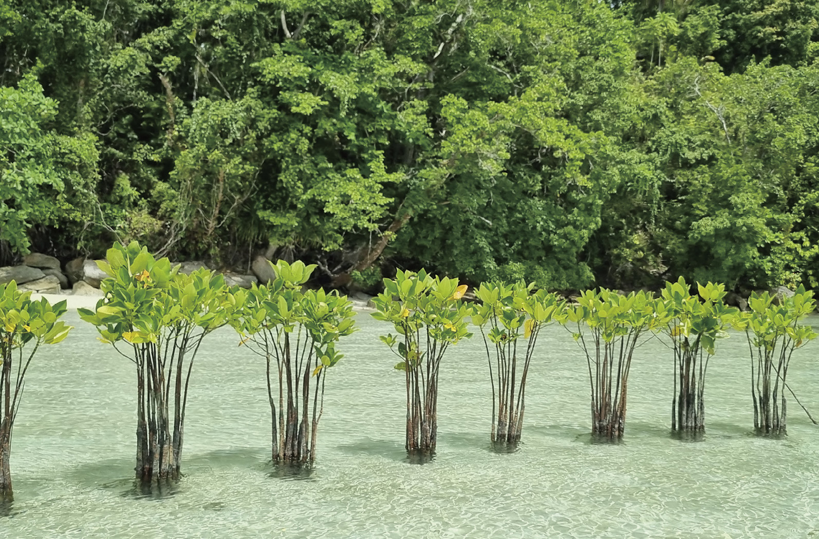
Figure 3-5 Mangrove planting in Raja Ampat. (Photo by Frida Sidik)
An example of a successful mangrove restoration project in Indonesia is the “Building with Nature” initiative by Wetlands International, which aims to address coastal erosion on the northern coast of Java. The approach is relatively simple in technology but quite sophisticated in concept: building sediment-trapping structures using locally available materials to attenuate waves and trap sediments (Figure 3-6). It aims to reduce coastal erosion and, in turn, stimulate natural regeneration of mangroves in these locations. In addition to soft engineering solutions, this approach also highlights a complex background knowledge related to local ecological and community conditions by building partnerships among government, stakeholders and communities (Hartono et al., 2023). Similar approaches have been applied elsewhere, including the Mempawah Mangrove Park (MMP) and Pokmas Pelesir (PP) mangrove restoration project in West Kalimantan, implemented by Tanjungpura University with support from the Blue Partnership Action Fund (Figure 3-7).
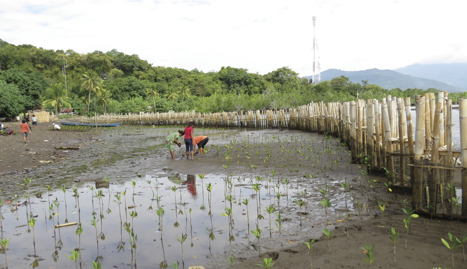
Figure 3-6 Mangrove rehabilitation using bamboo for sediment trapping by local community in Banten, Indonesia. (Photo by Virni Arifanti)
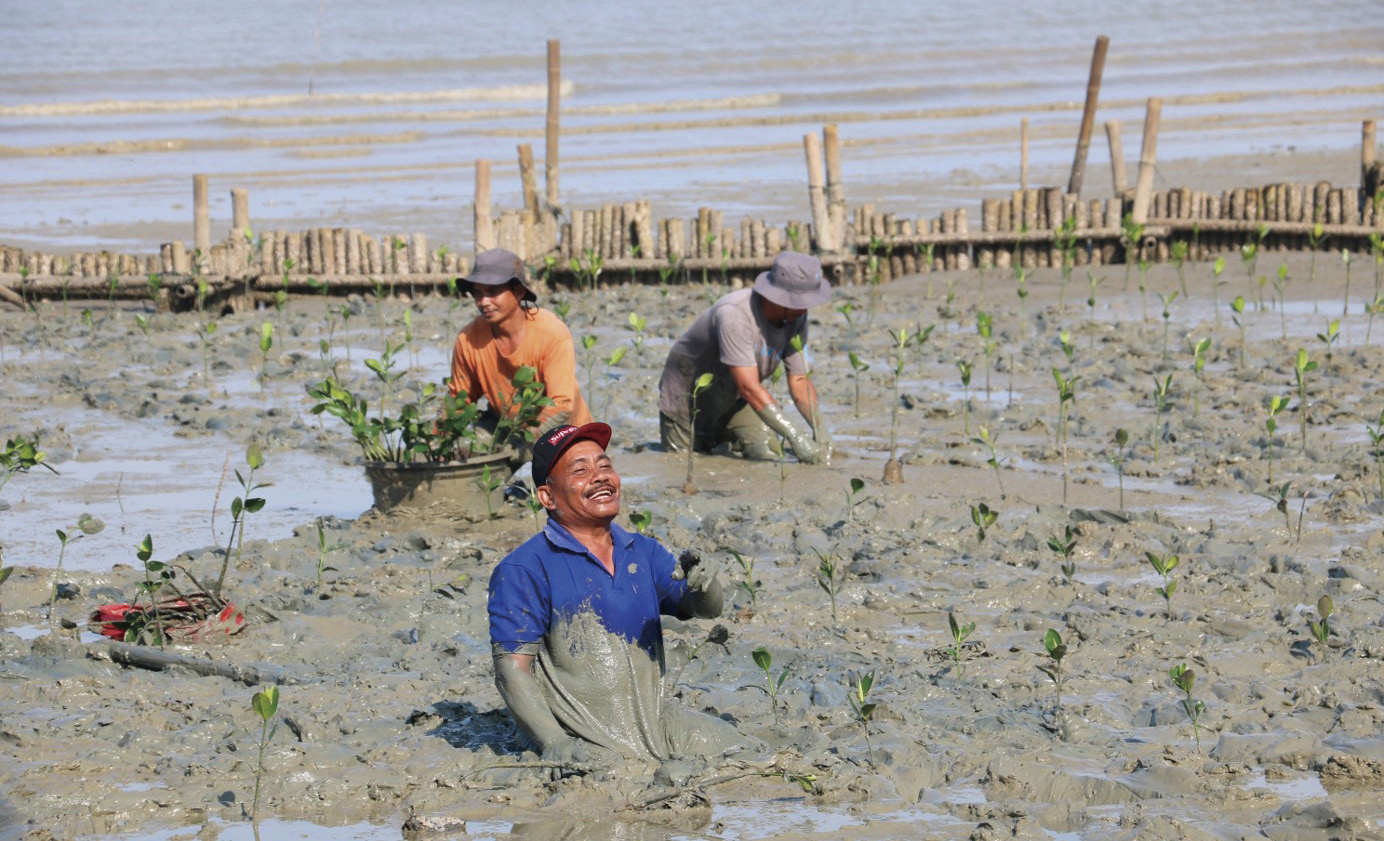
Figure 3-7 Community members participate in the mangrove ecological restoration. (Photo by Tanjungpura University)


3.3 Gap Analysis and Recommendations for Conservation and Management
Indonesia’s vital mangrove ecosystems are experiencing severe degradation and loss, predominantly due to human activities, exacerbated by natural factors and governance issues, leading to nearly half of the archipelago’s mangroves disappearing in the last five decades and leaving many in a degraded state (Alongi et al., 2015; Arifanti et al., 2025; Yusuf et al., 2017, 2021). The most significant cause is the extensive conversion of mangroves to aquaculture ponds, especially for brackish water shrimp, which has cleared approximately 750,000 hectares, contributing to 50% of Indonesia’s total mangrove loss and resulting in emissions comparable to those from peat forest conversion (Arifanti et al., 2022a, 2025; Ilman et al., 2011, 2016; Murdiyarso et al., 2015). Further degradation was due to conversion for agriculture (like rice paddies and oil palms) and coastal development, driven by expanding urban areas, settlements, and infrastructure, which intensifies land-use competition (Arifanti et al., 2022a, 2025; Yusuf et al., 2017; 2021). Direct overexploitation and resource extraction, including harvesting for timber, firewood, and charcoal, also significantly impact mangrove health and extent (Ilman et al., 2016; Yusuf et al., 2021). Environmental pollution from upstream contaminants further destabilizes these ecosystems (Arifanti et al., 2025; Wirabuana et al., 2025).
In policies and governance, systemic issues like inconsistent land-use zoning and lax law enforcement facilitate widespread anthropogenic encroachment and exploitation, despite existing protective legislation (Arifanti et al., 2022b, 2025; Ilman et al., 2011). While human pressures dominate, natural disasters such as the 2004 tsunami, which destroyed 32,000 hectares in Aceh, and accelerating climate change impacts like sea level rise, storms, and temperature changes, also result in accelerated degradation (Ilman et al., 2011; Rasyid et al., 2016). Fragmented management and a lack of inter-agency coordination create conflicts of interest and hinder integrated efforts (Sidik et al., 2023; Suharti et al., 2022). Top-down, “one-size-fits-all” approaches often overlook local contexts and reduce community participation (Fatimatuzzahroh et al., 2020; Suharti et al., 2022), further complicated by conflicting valuations that can compromise policy effectiveness, particularly with emerging “blue carbon” markets (Miller and Tonoto., 2023). These combined pressures collectively highlight an urgent need for comprehensive conservation strategies to address the widespread degradation of Indonesia‘’s mangroves (Alongi et al., 2016).
On knowledge and data, limited research and poor scientific knowledge transfer result in inadequately translated knowledge into actionable conservation programs that could be integrated with local wisdom (Dharmawan et al., 2016). Moreover, limited ecological monitoring data often overlook crucial variables such as mangrove community health, diversity, and structure, while focusing primarily on changes in physical area, which misrepresents true functional forest success in rehabilitation efforts (Djamaluddin et al., 2023; Prayudha et al., 2021). Robust ecological research and monitoring are needed that extend beyond area to comprehensively assess mangrove health, diversity, and functional recovery (Djamaluddin et al., 2023) (Figure 3-8). It is also vital to enhance knowledge transfer and capacity building to convey scientific insights to policymakers and local communities (Dharmawan et al., 2016), and to actively integrate traditional and local knowledge into conservation planning. Conservation practices themselves face challenges, with very limited success rates for rehabilitation efforts despite various schemes such as silvofishery systems (Harefa et al., 2022; Suharti et al., 2022; Wirabuana et al., 2025), often due to inadequate planning in management procedures (Prihadi et al., 2018). Funding and sustainability are major impediments, as the high costs of coastal resource management limit initiatives (Prihadi et al., 2018), and economic pressures coupled with poverty in coastal communities often drive the conversion of mangroves for immediate needs (Prihadi et al., 2018). There is a clear need for economically sound policies to achieve resilient development, as current funding mechanisms appear insufficient for sustainable practices (Zanten et al., 2021). Lastly, in the past, community and public participation was lacking due to low public awareness regarding mangrove importance (Prihadi et al., 2018; Suharti et al., 2022) and a general lack of active community involvement, exacerbated by top-down approaches (Suharti et al., 2022). Although currently community and public participation has increased significantly, successful reforestation and long-term monitoring still need the essential role of local communities (Figure 3-9), whose involvement is crucial for both conservation success and economic growth (Kurniawan et al., 2022; Sadono et al., 2020). These pervasive gaps highlight the urgent need for a more integrated, community-inclusive, and data-driven approach to safeguard Indonesia’s invaluable mangrove ecosystems.
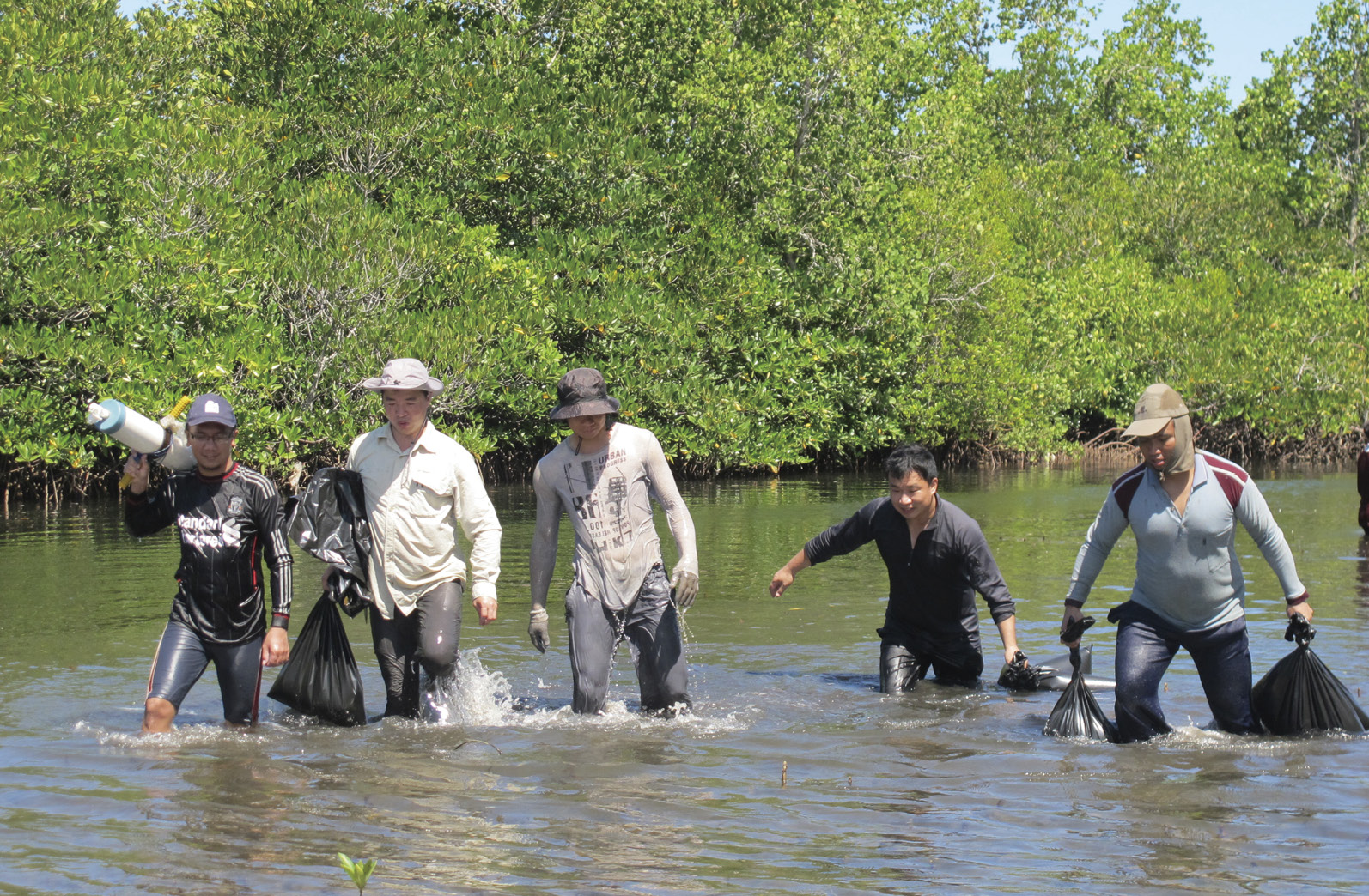
Figure 3-8 Indonesian and Chinese scientists have collaborated on the scientific monitoring and field surveys of mangroves.(Photo by Chen Shunyang)
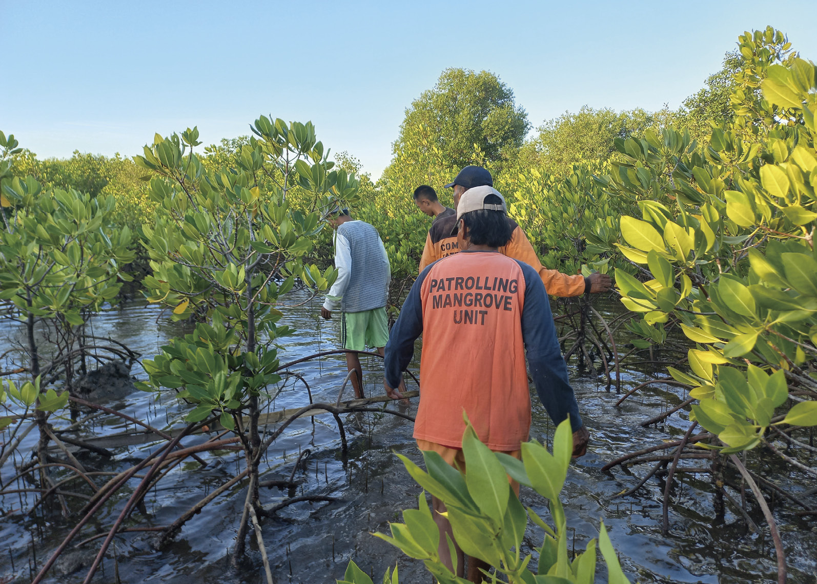
Figure 3-9 BPAF (Blue Partnership Action Fund) funded community rangers patrol mangroves in East Java. (Photo by Yagasu Foundation)
To effectively address the extensive challenges in Indonesia’s mangrove conservation and restoration, a holistic and integrated approach is essential, requiring improvements across governance, scientific foundations, conservation practices, funding, and community engagement. Key actions in policies and governance include strengthening and consistently enforcing land-use zoning regulations to combat illegal encroachment and unauthorized aquaculture expansion (Arifanti et al., 2025; Ilman et al., 2011), while also improving inter-agency coordination and integrated management among various government bodies to foster coherent planning (Sidik et al., 2023). Furthermore, adopting adaptive, context-specific management approaches that move beyond “one-size-fits-all” strategies is crucial, integrating diverse valuations of mangroves and recognizing local ecological and socio-economic realities (Miller and Tonoto, 2023; Suharti et al., 2022) (Figure 3-10).
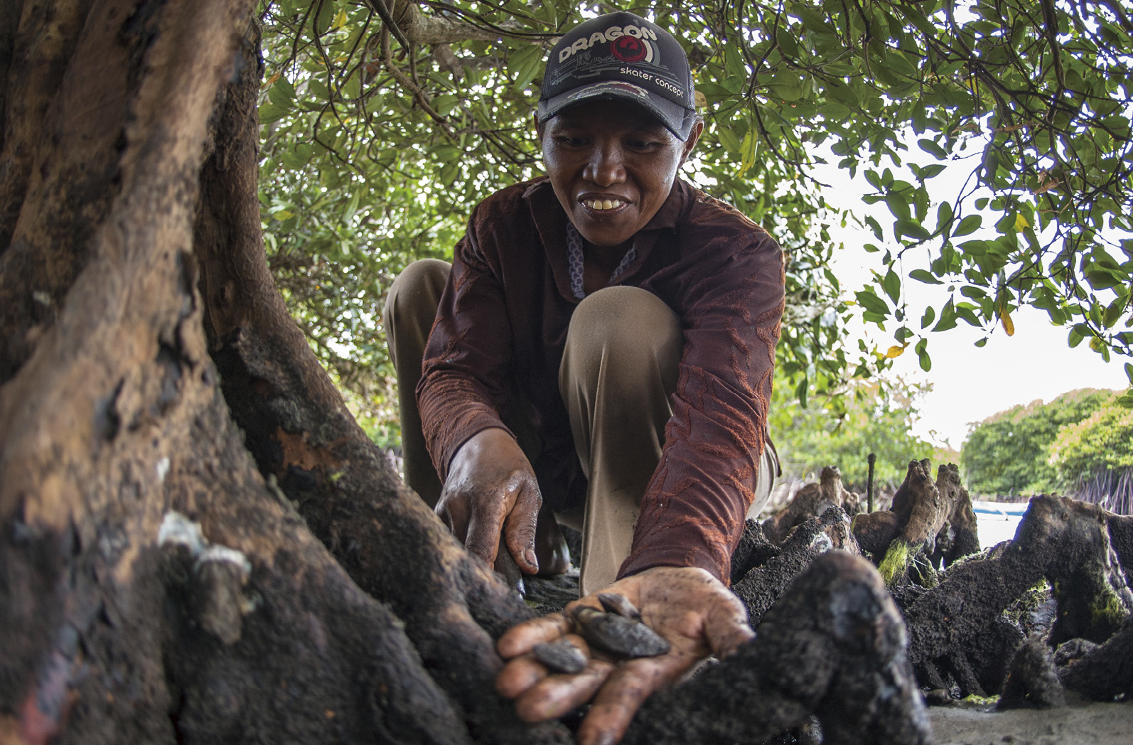
Figure 3-10 Gathering mussels from mangrove roots in Karang Sewu. (Photo by Aulia Erlangga)
For conservation practices, improving post-restoration management and monitoring with a focus on long-term care and ecological indicators beyond just survival rates is critical (Djamaluddin et al., 2023; Suharti et al., 2022). Restoration projects should prioritize site selection and species matching based on thorough ecological assessments, and a significant action involves rehabilitating degraded aquaculture ponds into functional mangrove areas (Arifanti et al., 2022b; Ilman et al., 2011). Securing conservation efforts requires long-term and diversified funding mechanisms, exploring various sources including private sector investment and international grants (Zanten et al., 2021), and developing economically sound conservation policies that incentivize sustainable management and provide economic alternatives for coastal communities, potentially through sustainable practices like silvofishery (Prihadi et al., 2018; Harefa et al., 2022; Zanten et al., 2021). Promoting public-private partnerships can further leverage resources and expertise for large-scale initiatives. Finally, empowering local communities and ensuring their meaningful participation through community-led approaches in all stages of conservation is paramount, recognizing their essential role for success (Sadono et al., 2020; Suharti et al., 2022). This also includes enhancing public awareness and education about the ecological and economic importance of mangroves (Prihadi et al., 2018), and fostering local ownership and benefit sharing to provide incentives for active participation and stewardship (Kurniawan et al., 2022). These recommendations collectively form a comprehensive blueprint for a more effective and sustainable future for Indonesia’s mangrove ecosystems.


Reference
Alongi D M, Murdiyarso D, Fourqurean J W, et al. 2016. Indonesia’s blue carbon: a globally significant and vulnerable sink for seagrass and mangrove carbon. Wetlands Ecology and Management, 24(1): 3-13
Arifanti V B. 2020. Mangrove management and climate change: a review in Indonesia. IOP Conference Series: Earth and Environmental Science, 487(1): 012022
Arifanti V B, Basyuni M, Suharti S, et al. 2025. Assessing the environmental and socioeconomic impacts of mangrove loss in Indonesia: a synthesis for science-based policy. Forest Science and Technology, 21(4): 430-446
Arifanti V B, Kauffman J B, Subarno, et al. 2022a. Contributions of mangrove conservation and restoration to climate change mitigation in Indonesia. Global Change Biology, 28(15): 4523-4538
Arifanti V B, Sidik F, Mulyanto B, et al. 2022b. Challenges and strategies for sustainable mangrove management in Indonesia: a review. Forests, 13(5): 695
Dharmawan B, Böcher M, Krott M. 2016. The failure of the mangrove conservation plan in Indonesia: weak research and an ignorance of grassroots politics. Ocean & Coastal Management, 130: 250-259
Djamaluddin R, Fusi M, Djabar B, et al. 2023. Point of (no) return? Vegetation structure and diversity of restored mangroves in Sulawesi, Indonesia, 14–16 years on. Restoration Ecology, 31(7): e13963
FAO. 2007. The world’s mangroves 1980–2005. FAO Forestry Paper 153. Food and Agriculture Organization, Rome
Fatimatuzzahroh F, Hadi S P, Purnaweni H, et al. 2020. Does the intervention of regional authorities contribute to sustainable mangrove ecotourism? Case Study on Mangrove Management at Karangsong, West Java, Indonesia. Ecological Questions, 31(3): 7
Harefa M S, Nasution Z, Mulya M B, et al. 2022. Mangrove species diversity and carbon stock in silvofishery ponds in Deli Serdang District, North Sumatra, Indonesia. Biodiversitas Journal of Biological Diversity, 23(2): 655-662
Hartono T T, Susetyo B, Ismail G, et al. 2023. Prevention of coastal erosion-sediment using the building with nature approach in the coastal of Indramayu. IKIJASS, 1(1): 30-38
Ilman M, Dargusch P, Dart P J, et al. 2016. A historical analysis of the drivers of loss and degradation of Indonesia’s mangroves. Land Use Policy, 54: 448
Ilman M, Wibisono I T C, Suryadiputra I N N, et al. 2011. State of the Art Information on Mangrove Ecosystems in Indonesia. wetlands org, DOI:10.13140/RG.2.1.3967.9120
Kurniawan R, Suharini E, Banowati E. 2022. Mangrove conservation group management in Semarang City, Central Java, Indonesia. Advances in Social Science, Education and Humanities Research/Advances in Social Science, Education and Humanities Research. https://doi.org/10.2991/assehr. k.211125.085[2026-5-13]
Leal M, Spalding M D. 2024 The State of the World’s Mangroves 2024. Global Mangrove Alliance. DOI: https://doi.org/10.5479/10088/119867[2026-5-13]
Macintosh D J, Suárez E L, McGregor S G, et al. 2025. Global risks to mangrove ecosystems: Red List of Ecosystems of intertidal forests and shrublands. IUCN
Miller M A, Tonoto P. 2023. Leveraging plural valuations of mangroves for climate interventions in Indonesia. Sustainability Science, 18 (3): 1533
Ministry of Environment of the Republic of Indonesia. 2026. National Mangrove Map 2025. Ministry of Environment of the Republic of Indonesia, Jakarta
Ministry of Forestry of the Republic of Indonesia. 2021. National Mangrove Map 2020. Ministry of Forestry of the Republic of Indonesia, Jakarta
Ministry of Forestry of the Republic of Indonesia. 2022. National Mangrove Map 2021. Ministry of Forestry of the Republic of Indonesia, Jakarta
Ministry of Forestry of the Republic of Indonesia. 2024. National Mangrove Map 2023. Ministry of Forestry of the Republic of Indonesia, Jakarta
Ministry of Forestry of the Republic of Indonesia. 2025. National Mangrove Map 2024. Ministry of Forestry of the Republic of Indonesia, Jakarta
Murdiyarso D, Purbopuspito J, Kauffman J B, et al. 2015. The potential of Indonesian mangrove forests for global climate change mitigation. Nature Climate Change, 5(12): 1089
Nurdin N, Akbar M, Patittingi F. 2015. Dynamic of mangrove cover change with anthropogenic factors on small island, Spermonde Archipelago. Remote Sensing of the Ocean, Sea Ice, Coastal Waters, and Large Water Regions, 9638: 161-171
Palguna I B A, Ardhana I P G, Arthana I W. 2017. Struktur dan keanekaragaman jenis mangrove di kawasan hutan mangrove Nusa Lembongan, Kecamatan Nusa Penida, Kabupaten Klungkung. Ecotrophic, 11(2): 108-115
Prayudha B, Siregar V P, Ulumuddin Y I, et al. 2021. The application of Landsat imageries and mangrove vegetation index for monitoring mangrove community in Segara Anakan Lagoon, Cilacap, Central Java. IOP Conference Series Earth and Environmental Science, 944(1): 12039.
Prihadi D J, Riyantini I, Ismail M R. 2018. Study of biophysical status and resources support marine tourism area of mangrove in Indramayu Karangsong. IOP Conference Series: Earth and Environmental Science, 162(1): 012026
Rahadian A, Prasetyo L B, Setiawan Y, et al. 2019. Tinjauan historis data dan informasi luas mangrove Indonesia. Media Konservasi, 24(2): 163-178.
Rahadian A, Prasetyo L B, Setiawan Y, et al. 2026. Mangrove restoration priorities across coastal landscape typologies. Biodiversitas, 27(3): 1
Rahman, Lokollo F F, Manuputty G D, et al. 2024. A review on the biodiversity and conservation of mangrove ecosystems in Indonesia. Biodiversity and Conservation, 33(3): 875-903
Rasyid A, AS M A, Nurdin N, et al. 2016. Impact of human interventions on mangrove ecosystem in spatial perspective. IOP Conference Series Earth and Environmental Science, 47: 12041
Sadono R, Soeprijadi D, Susanti A, et al. 2020. Local indigenous strategy to rehabilitate and conserve mangrove ecosystem in the southeastern Gulf of Kupang, East Nusa Tenggara, Indonesia. Biodiversitas Journal of Biological Diversity, 21(3): 1250-1257
Sidik F, Lawrence A, Wagey T, et al. 2023. Blue carbon: a new paradigm of mangrove conservation and management in Indonesia. Marine Policy, 147: 105388
Suharti S, Darusman D, Nugroho B, et al. 2022. Conditions for successful local collective action in mangrove forest management: some evidences from eastern coastal area of South Sulawesi, Indonesia. IOP Conference Series: Earth and Environmental Science, 1027(1): 012024
Wirabuana P Y, Baskorowati L, Pamungkas B, et al. 2025. Mangroves, fauna compositions and carbon sequestration after ten years restoration on Flores Island, Indonesia. Scientific Reports, 15(1): 4866
Yusuf D N, Prasetyo L B, Kusmana C. 2017. Geospatial approach in determining anthropogenic factors contributed to deforestation of mangrove: a case study in Konawe Selatan, Southeast Sulawesi. IOP Conference Series: Earth and Environmental Science, 54(1): 012049
Yusuf D N, Prasetyo L B, Kusmana C. 2021. Analysing the rate of mangrove forest conversion in South Konawe, Southeast Sulawesi. IOP Conference Series: Earth and Environmental Science, 886(1): 012126
Zanten B T, van Brander L, Torres D G, et al. 2021. The economics of large-scale mangrove conservation and restoration in Indonesia. https://doi.org/10.1596/37605[2026-5-13]Chapter 4 Mangrove Restoration in Malaysia: Status, Challenges, and Future Directions


Chapter 4 Mangrove Restoration in Malaysia: Status, Challenges, and Future Directions
Authors:
• Li-Lee Chew, Department of Biotechnology, Faculty of Applied Sciences, UCSI University
• A. Aldrie Amir, Institute for Environment and Development (LESTARI), Universiti Kebangsaan
• Tariq Mubarak Husin, Forestry Division, Forest Research Institute Malaysia
• Fan Min, SEE Foundation


Abstract
With its climatic advantages, Malaysia constitutes one of the world’s richest countries in biodiversity. Among the natural ecosystems in Malaysia, mangrove habitats provide vital economic and ecological services through coastal fisheries, wood production, ecotourism, shoreline protection and carbon credit market (Amir, 2018). Malaysia ranked sixth globally in mangrove area, constituting approximately 0.59 million hectares nationwide. Sabah has the largest mangrove cover (ca. 58%) followed by Sarawak (ca. 22%) and Peninsular Malaysia (ca. 20%). In terms of species richness, there are approximately 47 true mangrove species, 6 mangrove hybrids and 20 mangrove-associated species recorded across Malaysia. Despite their ecological importance, Malaysia’s mangroves have experienced multiple threats from unprecedented events such as coastal developments, wave erosion, pollution, and climate change. Some rehabilitation and restoration efforts, using natural regeneration and science-based replanting techniques, and involving multi-stakeholder collaboration, have demonstrated successful mangrove recovery in some areas. However, the rehabilitation and restoration efforts may be hindered if some challenges like limited funding, improper mangrove replanting plans and policy conflicts persist. To ensure the long-term sustainability of Malaysia’s mangrove ecosystems, conservation strategies must prioritize biodiversity, strengthen protective legislation, and expand CSR initiatives. More scientific expeditions should be conducted for biodiversity baseline data.


4.1 Status of Mangroves in Malaysia
With its position situated in the tropical region, Malaysia’s climate is characterized by a warm and humid environment with high rainfall throughout the year. Owing to these climatic advantages, Malaysia is one of the biodiversity hotspots on Earth possessing diverse flora and fauna in both terrestrial and aquatic ecosystems. The rainforests cover approximately 18.04 million hectares or about 54.6% of Malaysia’s land area. Out of these, mangroves constitute approximately 0.59 million hectares or about 3.2% of the forest cover in Malaysia. Mangroves are mainly distributed along the coastline of Peninsular Malaysia in the west and Sabah and Sarawak in the east of Malaysia (Figure 4-1). The state of Sabah has the largest mangrove cover (58%), followed by Sarawak (22%) and Peninsular Malaysia (20%) (Omar, 2024). About 5% of mangroves on Earth are found in Malaysia, ranking sixth globally after Indonesia, Brazil, Australia, Mexico, and Nigeria (Tangah et al., 2022).
Malaysia’s forest can be divided into three major categories: i) dry-land dipterocarps; ii) peat swamps; and iii) mangrove forests. The permanent forest reserves, such as those in Sabah, can be further grouped into protection forest reserves, domestic forest reserves, mangrove forest reserves (MFRs), virgin jungle reserves (VJRs), and wildlife reserves (Tangah et al., 2022). There are approximately 47 true mangrove species, six mangrove hybrids and 20 mangrove-associated species recorded across Malaysia (Table 4-1; MyBIS, Islam et al., 2024). Among these, four genera are dominant (i.e., Avicennia, Sonneratia, Bruguiera and Rhizophora).
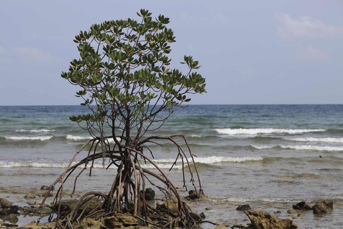
Figure 4-1 A solitary red mangrove with its extended prop roots anchoring into the rocky shore of Tioman Island, Malaysia. (Photo by Chew LL)
able 4-1 List of true mangroves and their associates by distributional zone and IUCN status (MyBIS, Islam et al., 2024)
| Species | Type | Primary zone | Secondary zone | Conservation Status (IUCN Red List) | Remarks |
| Acanthus ebracteatus | True mangrove | Back mangrove | Landward | Least concern | Halophytic herb/shrub on firm mud |
| Acanthus ilicifolius | True mangrove | Back mangrove | Landward | Least concern | Common in slightly saline edges |
| Acanthus volubilis | True mangrove | Back mangrove | Landward | Least concern | Woody climber, sometimes inland |
| Acrostichum aureum | True mangrove | Back mangrove | Landward | Least concern | Fern, grows in brackish swamps and disturbed sites |
| Acrostichum speciosum | True mangrove | Back mangrove | Landward | Least concern | Fern, more saline-tolerant than A. aureum |
| Brownlowia tersa | True mangrove | Back mangrove | Landward | Near threatened | Occasionally inundated, sandy soils |
| Cynometra iripa | True mangrove | Back mangrove | Landward | Least concern | Occasionally inundated |
| Cynometra ramiflora | True mangrove | Back mangrove | Landward | Least concern | Coastal swamp forest |
| Excoecaria agallocha | True mangrove | Back mangrove | Landward | Least concern | Widespread, brackish swamps |
| Excoecaria indica | True mangrove | Back mangrove | Landward | Least concern | Less common, Indo–Malay region |
| Heritiera fomes | True mangrove | Back mangrove | Landward | Endangered | Rare and found only in northern Malaysia |
| Heritiera littoralis | True mangrove | Back mangrove | Landward | Least concern | Buttressed tree, higher mangroves |
| Heritiera globosa | True mangrove | Back mangrove | Riverine | Endangered | Rare, along tidal creeks |
| Lumnitzera littorea | True mangrove | Back mangrove | Landward | Least concern | Coastal edge species |
| Lumnitzera racemosa | True mangrove | Back mangrove | Landward | Least concern | More salt-tolerant than L. littorea |
| Xylocarpus granatum | True mangrove | Back mangrove | Middle | Least concern | Large tree, high ground |
| Xylocarpus moluccensis | True mangrove | Back mangrove | Middle | Least concern | Co-occurs with X. granatum, less common |
| Xylocarpus rumphii | True mangrove | Back mangrove | Landward | Least concern | Rare, Indo–Pacific distribution |
| Aegiceras corniculatum | True mangrove | Middle | Seaward | Least concern | Small tree on tidal creek banks |
| Aegiceras floridum | True mangrove | Middle | Seaward | Near threatened | Brackish swamps, prefers sheltered and muddy areas |
| Bruguiera cylindrica | True mangrove | Middle | Landward | Least concern | Common in tidal creeks |
| Bruguiera gymnorhiza | True mangrove | Middle | Landward | Least concern | Tall, dominant in deep mud |
| Bruguiera hainesii | True mangrove | Middle | Landward | Critically endangered | Rare, potentially hybridize with B. gymnorhiza |
| Bruguiera parviflora | True mangrove | Middle | Landward | Least concern | Shaded areas behind Rhizophora |
| Bruguiera sexangula | True mangrove | Middle | Landward | Least concern | Riverine, tall forest |
| Bruguiera × rhynchopetala | Hybrid | Middle | Landward | Not evaluated | Hybrid of B. sexangula × B. gymnorhiza |
| Camptostemon philippinense | True mangrove | Middle | Landward | Endangered | Rare in Malaysia, tall tree |
| Ceriops decandra | True mangrove | Middle | Landward | Near threatened | Brackish and inland mangrove edge |
| Ceriops tagal | True mangrove | Middle | Landward | Least concern | Common in elevated mangrove zones |
| Ceriops zippeliana | True mangrove | Middle | Landward | Least concern | Less common, native to Southeast Asia |
| Kandelia candel | True mangrove | Middle | Seaward | Least concern | Common in estuarine mudflats |
| Rhizophora apiculata | True mangrove | Middle | Seaward | Least concern | Dominant species in Malaysia |
| Rhizophora mucronata | True mangrove | Middle | Seaward | Least concern | Common in riverine zones |
| Rhizophora × annamalayana | Hybrid | Middle | Seaward | Not Evaluated | Hybrid of R. apiculata × R. mucronata |
| Rhizophora × lamarckii | Hybrid | Middle | Seaward | Not Evaluated | Hybrid of R. apiculata × R. stylosa |
| Nypa fruticans | True mangrove | Riverine | Middle | Least concern | Palm, brackish riverbanks |
| Sonneratia caseolaris | True mangrove | Riverine | Middle | Least concern | Brackish tidal rivers |
| Avicennia alba | True mangrove | Seaward | Middle | Least concern | Pioneer on newly accreted mudflats |
| Avicennia marina | True mangrove | Seaward | Middle | Least concern | Highly salt-tolerant, pioneer species |
| Avicennia officinalis | True mangrove | Seaward | Middle | Least concern | Co-occurs with Sonneratia |
| Avicennia rumphiana | True mangrove | Seaward | Middle | Vulnerable | Large tree, estuarine sites |
| Pemphis acidula | True mangrove | Seaward | Landward | Least concern | Rocky and sandy littoral, often on coral or sandy coasts |
| Rhizophora stylosa | True mangrove | Seaward | Middle | Least concern | More exposed coasts |
| Scyphiphora hydrophyllacea | True mangrove | Seaward | Middle | Least concern | Small tree along tidal creeks |
| Sonneratia alba | True mangrove | Seaward | Middle | Least concern | Pioneer; tolerates wave exposure, muddy flats |
| Sonneratia griffithii | True mangrove | Seaward | Middle | Critically endangered | Rare, endangered |
| Sonneratia lanceolata | True mangrove | Seaward | Middle | Least concern | Eastern Malaysia |
| Sonneratia ovata | True mangrove | Seaward | Middle | Near threatened | Occasional in estuaries |
| Sonneratia × hainanensis | Hybrid | Seaward | Middle | Not evaluated | Hybrid of S. alba × S. ovata |
| Sonneratia × gulngai | Hybrid | Seaward | Middle | Not evaluated | Hybrid of S. alba × S. caseolaris |
| Sonneratia × urama | Hybrid | Seaward | Middle | Not evaluated | Hybrid of S. alba × S. lanceolata |
| Aegialitis rotundifolia | True mangrove | Seaward | Middle | Least concern | Salt-tolerant small shrub, sandy coasts |
| Osbornia octodonta | True mangrove | Seaward | Middle | Least concern | Found in sandy areas, less common |
| Barringtonia acutangula | Mangrove associate | Back mangrove | Freshwater edge | Least concern | Found along tidal rivers |
| Barringtonia racemosa | Mangrove associate | Back mangrove | Riverine | Least concern | Mangrove associate, freshwater-tolerant |
| Brownlowia argentata | Mangrove associate | Back mangrove | Landward | Not evaluated | Coastal forest species |
| Cassine viburnifolia | Mangrove associate | Back mangrove | Landward | Least concern | Sandy coasts |
| Cerbera manghas | Mangrove associate | Back mangrove | Landward | Least concern | Coastal or riverine forest margin |
| Derris trifoliata | Mangrove associate | Back mangrove | Middle | Not evaluated | Common along mangrove edges |
| Dolichandrone spathacea | Mangrove associate | Back mangrove | Riverine | Least concern | Found on tidal mudbanks |
| Oxyceros longiflorus | Mangrove associate | Back mangrove | Landward | Least concern | Woody climber |
| Finlaysonia obovata | Mangrove associate | Back mangrove | Middle | Not evaluated | Climber, common vine along edges |
| Aganope heptaphylla | Mangrove associate | Landward | Terrestrial | Not evaluated | Occasionally near mangrove margins |
| Ardisia elliptica | Mangrove associate | Landward | Inland | Least concern | Mangrove associate associate, tolerates salinity |
| Crinum asiaticum | Mangrove associate | Landward | Inland | Not evaluated | Coastal and sandy habitats |
| Dalbergia candenatensis | Mangrove associate | Landward | Inland | Least concern | Coastal vines |
| Glochidion littorale | Mangrove associate | Landward | Inland | Least concern | Sandy coastal forest |
| Guettarda speciosa | Mangrove associate | Landward | Beachfront | Least concern | Coastal strand plant |
| Oncosperma tigillarium | Mangrove associate | Landward | Inland | Least concern | Coastal swamp palm |
| Pluchea indica | Mangrove associate | Landward | Inland | Not evaluated | Coastal edge herb |
| Hibiscus tiliaceus | Mangrove associate | Landward | Beachfront | Least concern | Previously also known as Talipariti tiliaceum |
| Thespesia populnea | Mangrove associate | Landward | Beachfront | Least concern | Coastal strand tree |
| Volkameria inermis | Mangrove associate | Landward | Seaward | Not evaluated | Coastal or estuarine shrub |
Mangroves have significant economic contributions to Malaysia, ranging from coastal fisheries and charcoal production to ecotourism and shore protection. Coastal fisheries, which are directly linked to the coastal mangrove extent, contributed approximately RM1 billion to RM2 billion or equivalent to USD236.5 million to USD473 million annually (Department of Fisheries Malaysia, 2021). The early studies show that about 50% of the commercially exploited fish species and 90% of prawn species in peninsular Malaysia used mangroves as nursery and feeding habitats (Sasekumar and Chong, 1994; Chong et al., 1990, 1994). Based on the Matang Working Plan (2010-2019), it was estimated that Matang Mangrove Forest Reserve (Figure 4-2) contributed an annual net profit of USD0.38 million from wood production (Perak State Forestry Department, 2010). Wood vinegar, a byproduct of charcoal production, is used as pest control in organic farming (Figure 4-3).
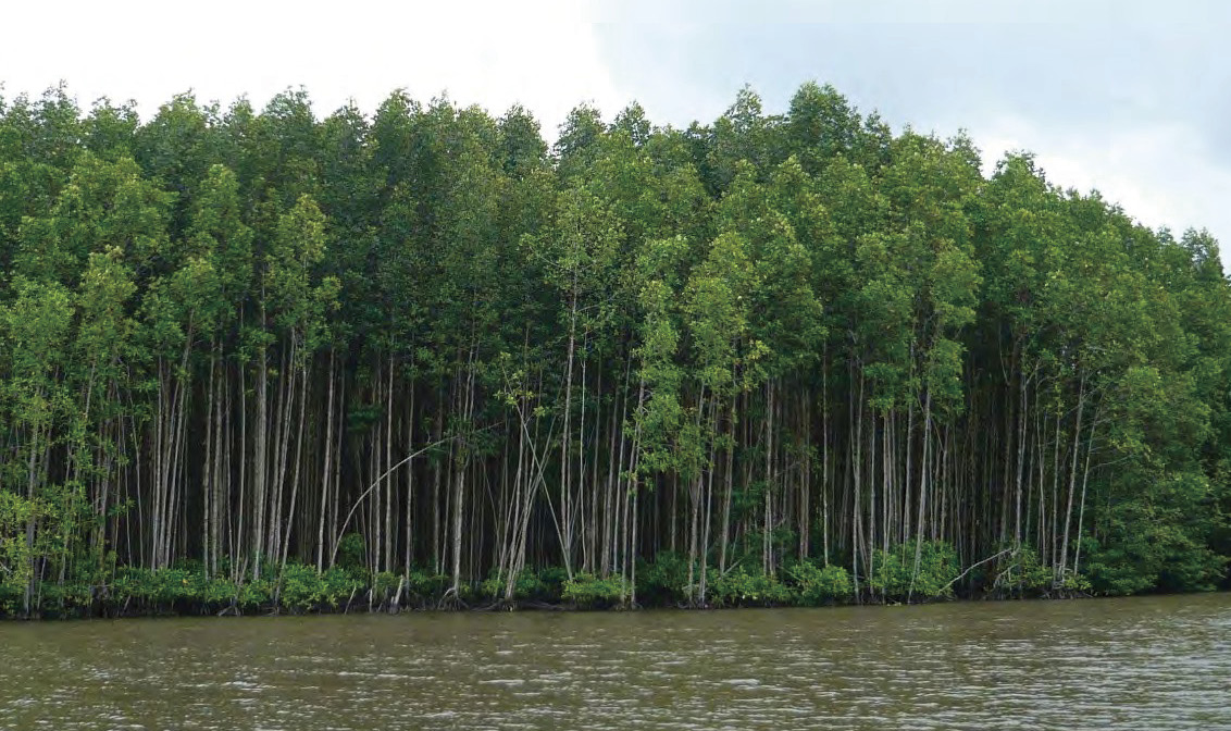
Figure 4-2 Matang Mangrove Forest Reserve with a management plan of 30-year cycle, involving silviculture of Rhizophora species. (Photo by Chew LL)
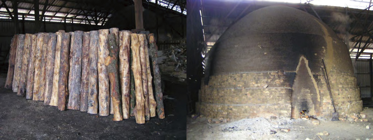
Figure 4-3 Mangrove timbers (left panel) were transferred and sealed in a special-designed kiln (right panel) to produce charcoal using a process called pyrolysis. (Photo by Ooi AL)
Ecotourism constitutes the other important sector that draws millions in revenues for local communities. Several popular mangrove sites for ecotourism across Malaysia include the Kilim Geopark (Langkawi Island, Kedah), Matang Mangrove Forest Reserve (Perak), Kuala Selangor Nature Park (Selangor), Sungai Pulai Ramsar Site (Johor), Setiu Wetlands (Terengganu), Sandakan Mangrove Forest Reserve (Sepilok, Sabah) and Bako National Park (Sarawak). The associated fauna such as fireflies, migratory birds and proboscis monkeys constitute the main tourists’ attractions in some forest reserves. Owing to overfishing pressure, some fishing operators have converted their business to ecotourism such as Kuala Sepetang in Matang, a fishing village that was once heavily dependent on coastal fisheries. In terms of ecological services, millions of ringgits are saved annually from coastal erosion and storm damage by mangrove-protected areas. As one of the largest natural carbon-sink ecosystems, mangroves contribute approximately RM1.1 billion to RM2.4 billion annually on potential carbon-credit market. Aligned with the Paris Agreement, Malaysia aims to achieve net zero carbon emissions by 2050 through various conservation initiatives. Mangrove replanting involving multi-stakeholder collaboration is one of the initiatives proposed under the government sustainable development frameworks.


4.2 Threats to Mangroves
Malaysia has experienced a significant loss of mangroves over the past few decades. Between the 1990s and 2010s, about 21,200 hectares (3.3%) of Malaysia’s mangroves were lost due to land reclamation for agriculture and urbanization, while coastal erosion and pollution constituted other factors that led to the loss (Omar et al., 2020). A recent report indicates a further loss of 42,490 hectares between 2017 and 2023 in Malaysia, with the majority of this loss occurred in Sabah and Sarawak. In contrast, Peninsular Malaysia has exhibited an increase of 4,364 hectares over this period (Omar, 2024). The factors that cause mangrove loss in Malaysia are detailed below.
T


4.2.1 Agriculture
In the 1960s, mangroves were mainly cleared for rice fields or coconut, cocoa and oil palm plantations. The state of Selangor had experienced the greatest loss with about 7,500 hectares of its mangroves converted to coconut and oil palm plantations (Chong, 2006). Almost the entire mangroves on Carey Island were converted to oil palm plantations. About 1,500 hectares of the Merbok mangroves in Kedah were reclaimed and converted to rice fields, whereas Sarawak Mangrove Reserve had lost 4,000 hectares for agriculture (Chan, 1987).


4.2.2 Aquaculture
While there were large mangrove areas being cleared and converted to aquaculture ponds between the 1980s and the 1990s, many aquaculture ponds were abandoned after a few years of operations due to acidic soil and declining water quality, which reduced aquaculture production (Latiff, 2012) (Figure 4-4). These include the Bukit Malut mangroves in Langkawi, Kedah where almost the entire mangrove forest reserve (110 hectares) was cleared for aquaculture and fish landing sites. The landing site has been underutilized since construction. There has been a declining trend in conversion of mangroves to brackish pond aquaculture in recent years. On the other hand, there have been at least twofold increase in brackish water cage culture from 2001 to 2020. Many of these are located in the sheltered areas of mangrove estuaries. This culture method does not require land clearance and appears to be less destructive to mangroves. Nevertheless, the waste produced by the nearby aquaculture activities might be the cause of the recent mangrove die-off in Kuala Sungai Pinang and Kuala Sungai Bharu, Penang (The Sun, February 14, 2025)
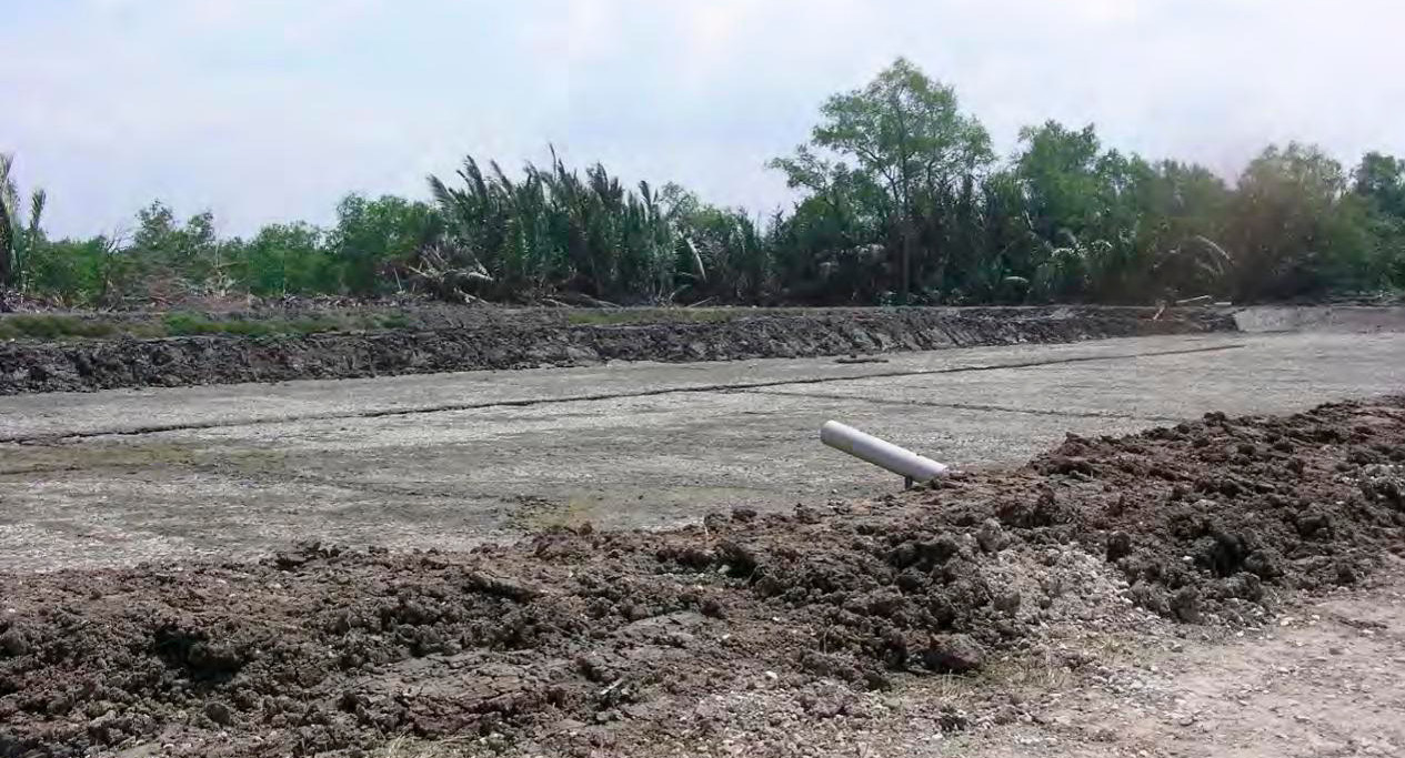
Figure 4-4 Some mangroves and Nypa palms were cleared for earthen pond culture.
(Photo by Chew LL)


4.2.3 Settlement and urbanization
Mangroves in Malaysia were cleared and converted to fishing villages in the early years such as in Kuala Perlis, Kuala Kedah, Kuala Sepetang, Kuala Selangor, etc. In recent years, tens of thousands of illegal immigrants have settled in the remaining mangrove reserve of Malut in Langkawi, Kedah (The Sun, 26 Jul 2020). There were also substantial mangrove areas cleared for mega projects such as the expansion of Port Klang, Malaysia’s largest port, where 255 hectares of coastal mangroves along with the entire Pulau Lumut Mangrove Forest Reserve of 4,349 hectares were removed (Chong, 2006). Johor is another state that has lost approximately 6,030 hectares of its mangroves from 1989 to 2014 for urban developments, includinginfrastructure, industrial parks and ports (Figure 4-5) especially in the Iskandar Corridor (Kanniah et al., 2015). Although no direct mangrove removal is involved, the reclamation of artificial islands for green technology park in the southern Penang Island may destroy the nearby ecosystems, including mangroves. A small mangrove area of 412 hectares in the state of Selangor was used for resettlement and cultural preservation of indigenous Mah Meri community.
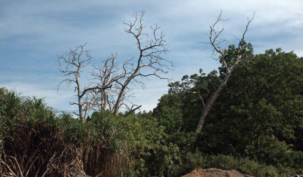
Figure 4-5 The die-back of red-flowered black mangrove Lumnitzera littorea on Redang Island after the land was used for airport development. (Photo by Chew LL)


4.2.4 Pollution
Mangroves in Malaysia are exposed to various organic and inorganic pollutants from agriculture, domestic sewage and industrial wastes. Although there are studies investigating the pollutants in mangrove ecosystems, the impact of pollutants on mangroves is only detected after a mass die-back of mangroves. Agricultural and industrial wastes constitute the main pollutants to Malaysia’s mangroves (Chong, 2006). The mass die-back of mangroves was observed in the southern region of Klang Strait where sedimentation loads were extreme (Sasekumar and Chong, 2012). This could be attributed to the suffocation of plants by their buried pneumatophores (Sasekumar and Chong, 2012). The Department of Environment (DoE) has confirmed the leachate spillage from the Pulau Burung sanitary landfill to the nearby Byram Mangrove Forest Reserve of 214.66 hectares, Penang (Audrey, 2022). As the largest plastic consumers in the world, Malaysia’s mangroves are also vulnerable to improper plastic disposal. Tons of plastic waste dumped into the river are trapped in almost all coastal mangrove habitats (Figure 4-6). About 800 trees from 1.2 hectares of mangroves in Tanjung Tuan, Port Dickson were vulnerable to an unknown source of oil spill on 12th October, 2020. The affected area has expanded to three hectares five months later despite the clean-up work being carried out immediately after the spill. There is no mangrove replanting work until the area is ready for recovery (Figure 4-7).
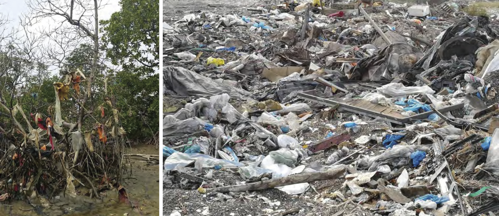
Figure 4-6 Severe pollution along Pandamaran River, Port Klang, Selangor. The plastics dumped into the river entangled the dying mangrove during low tide (top panel), while the buffered mangrove zone of the other river part was cleared for illegal waste dumping (bottom panel). (Photo by Chew LL)
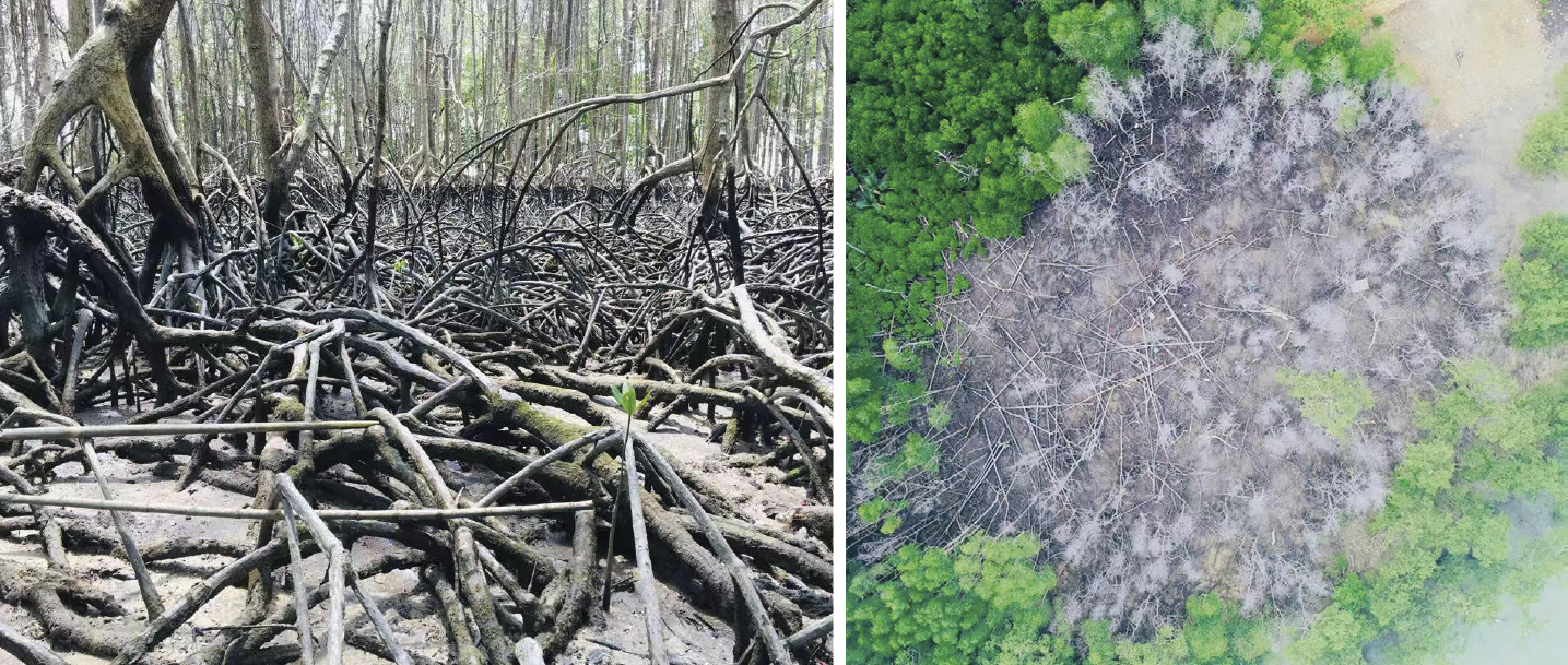
Figure 4-7 Oil-spill pollution in Tanjung Tuan mangrove forest reserve, Negeri Sembilan. The mangrove prop-roots were coated with oil (left panel), leading to a large extent of die-back (right panel). (Photo by A. Aldrie Amir)


4.2.5 Coastal erosion
The loss of mangroves due to erosion followed by accretion and mangrove recolonization would give a no net loss of mangroves via natural hydrodynamic processes (Omar et al., 2020). However, long-standing anthropogenic activities, such as heavy marine traffic, coupled with sea level rise have intensified coastal erosion, which topples fringing mangroves in several fishing villages (e.g., Kuala Kedah, Kuala Sepetang and deltaic Klang islands) and cargo ports (e.g., Port Klang and Tanjung Pelepas). To prevent the coastal erosion, the use of mangroves as buffer zone has been extended from 200 m to 400 m since the 1990s (Ooi, 1996).


4.2.6 Climate associated impacts
Similar to other coastal marine ecosystems, Malaysia’s mangroves are vulnerable to climate change impacts. sea level rise, increasing sea surface temperature, alteration of precipitation pattern and more frequent extreme weathers have posed mangroves to different degrees of risk (Ellison, 2015, Ward et al., 2016). The rapid sea level rise coupled with coastal erosion have caused a substantial loss of mangroves in Tanjung Piai, Johor due to suffocation of prolonged submergence of low-lying mangroves. More frequent and intense storms further intensify the erosion along the shoreline of Straits of Malacca, where mangrove vegetation is predominant. Increased temperatures not only affect the reproductive and growth rates of certain mangrove species but also increase their vulnerability to infectious disease. In Sabah and Sarawak, the landward Bruguiera species was vulnerable to reduced freshwater inputs due to the change in rainfall pattern (Jusoff and Tamin, 1998; Alongi, 2015).


4.3 Sustainable Mangrove Management and Conservation
The successful case studies of mangrove management and conservation in Malaysia are detailed by Tangah et al. (2022). Islam et al. (2024) also provide a comprehensive review of Malaysian mangroves. The Matang Mangrove Forest Reserve, established in 1902, has been well acknowledged as the world’s best managed mangroves. The management plan is according to a 30-year cycle that involves routine thinning and clearing of mangroves to maintain sustainability of wood production and biodiversity. There is no significant change in forest structure and composition due to the 30-year cycle management. In contrast, the average height and above-ground biomass of the community gradually increased with the increase of the forest age. A total of 14 mangrove species were recorded with Rhizophora apiculata, R. mucronata, and Bruguiera parviflora being dominant.
Sabah has the largest mangrove area among states and regions in Malaysia. The conservation and restoration of mangroves in Sabah involve the collaboration between the Sabah Forestry Department (SFD) and non-governmental organizations (NGOs) such as the International Society of Mangrove Ecosystems (ISME). More than 90% of the mangroves in Sabah are protected and managed sustainably, including Kota Kinabalu and Klias Wetlands in Beaufort, Sulaman Wetland in Tuaran and Sepilok Mangrove Discovery Center in Sandakan. Since 2011, the collaboration between SFD and ISME has successfully restored the degraded mangrove ecosystems in Sabah, amounting to 556 hectares and hosting more than 13 mangrove and mangrove-associated species. The Sabah Mangrove Action Plan (2024-2033) emphasizes more effective methods for mangrove restoration and ensures the livelihoods of local community.
Malaysian government has allocated more than RM71 million or about USD14.9 million for mangrove conservation since 2006 (Bernama, 2025a).
More than nine million mangrove trees and associated plant species have been planted across 3,820 hectares of mangrove forests throughout Malaysia. Under Malaysia’s current framework on sustainable development, a total of 35 rivers that are closely associated with mangrove ecosystems have been selected for the National River Trail (DSK) program. This program promotes river conservation, individual well-being and local economy (Bernama, 2025b).
Malaysian government affirms its commitment to protect and restore more coastal habitats including mangrove ecosystems through the 13th Malaysia Plan time-frame, 2026-2030. In line with the 3rd ASEAN Blue Economy Framework, Malaysia is formulating the Blue Economy Blueprint which consists of sectors associated with marine ecosystems. The primary goal of the national Blue Economy Blueprint is to enhance industries such as aquaculture, green shipping and renewable energy, while safeguarding marine biodiversity and ecosystem services through marine protected areas and community-based coastal management (Bernama, 2025c).


4.4 Restoration Techniques and Challenges
Mangrove restoration in Malaysia consists of a collaborative effort by government agencies, NGOs, local communities, and private sectors. Several techniques involving natural regeneration, active replanting and science-based approaches are currently used for mangrove restoration in Malaysia. These approaches allow colonization of more diverse species composition and enhance ecological complexity of mangrove habitats.
Active mangrove replanting in Malaysia is typically carried out by NGOs and local communities, with support from corporate social responsibility (CSR) initiatives. The Tanjung Kepah Mangrove Action Project in Manjung District, Perak is a successful collaborative example involving multiple stakeholders including the Wetlands International Malaysia, Universiti Teknologi Petronas (UTP), the corporate company Solmax, the community-based society Pertubuhan Sahabat Hutan Bakau Lekir and the Perak state government agencies namely Irrigation and Drainage Department, National Water Research Institute of Malaysia and Forestry Department. To increase the survival rate of mangrove replanting, the project incorporates the science-based approach using the 25 meter-high bamboos as wave breakers to prevent coastal erosion and enhance sedimentation in the restoration area. Furthermore, the biodegradable bamboos do not pose any environmental risks. A survival rate of up to 70% was observed for mangrove replanting based on this approach (The Star, 2025). A similar approach is also implemented in the severely eroded area in Sungai Haji Dorani, Selangor (Figure 4-8).
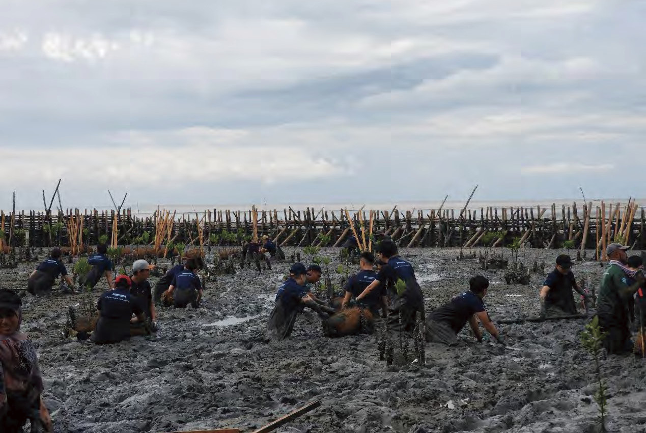
Figure 4-8 Mangrove replanting program using eco-engineered structure as a wave breaker to reduce erosion impact in Sungai Haji Dorani, Selangor. (Photo by Tariq Mubarak Husin)
The Community-Driven Mangrove Rehabilitation Project at Kampung Tenglu Laut Mersing, Johor is another mangrove restoration project initiated recently. The three-year project (2025-2028) is funded by UNIQLO Malaysia and involves multi-stakeholder partnerships with the Global Environment Center, Kelab Komuniti Pelindung Alam Sekitar Mersing (KOMPAS), Department of Irrigation and Drainage Mersing and Johor State Forestry Department. This project aims to rehabilitate the one-hectare degraded mangroves in Kampung Tenglu Laut, Mersing, Johor by replanting about 2000 mangrove trees (Global Environment Center, https://gec. org.my/reference-project/community-driven- mangrove-rehabilitation-at-kampung-tenglu- laut-mersing/).
The National Coastal Information Management System (e-PESISIR) is a web-based platform established to support the Forestry Department of Peninsular Malaysia in planning, implementing, and monitoring the restoration and protection of coastal mangrove habitats in Malaysia. The system integrates remote sensing, GIS, and ICT technologies, analyzing environmental parameters and carbon stock in mangrove areas through hydrodynamic modeling (Ramli and Zhang, 2017). The mangrove quality index (MQI) is used to assess the health of mangrove ecosystems.
While several successful examples of mangrove restoration have been reported in recent years, challenges continue to exist and obstruct mangrove restoration efforts in Malaysia. These include intense coastal erosion, high cost of constructing wave breakers, vulnerability to pests and diseases, and limited financial support to sustain the existing restoration areas (Ramli and Zhang, 2017).


4.5 Controversies and Recommendations for Future Restoration Plan
As about 30% of Malaysia’s mangroves fall under state government or alienated land, controversies often arise between policymakers and conservationists such as the case of Segari River in Perak, where the newly planted mangroves by the local community were cleared for shrimp farming. The cleared mangrove area is the government reserved land for agricultural development, and a license for shrimp farming has been approved by the state government in 2019 (Malay, 2021). Other controversial projects that are legally approved by state governments include the degazettement of mangrove reserve for development, and reclamation for mega prawn farming. To prevent further loss of mangroves, the state governments must stop any development projects in mangrove areas. As land is a state matter in Malaysia, the state governments should work together with multiple stakeholders to ensure the sustainability of their existing mangroves.
Mangrove replanting program became a national priority following the 2004 tsunami. Since then, the Malaysian government, in collaboration with NGOs and private sectors, initiated a nation-wide tree replanting program particularly in coastal areas. A total of 2,874 hectares with 6.62 million mangroves and other coastal tree saplings were planted between 2005 and 2018. As of 2025, approximately 3,820 hectares of mangrove forest have been replanted. However, there is still a big gap from the National Policy on Biological Diversity target, which aims to replant 10,000 hectares of mangroves nationwide (Sasekumar and Chong, 2012). At the state level, a total of 3,275 hectares of mangroves in Sabah required rehabilitation (Tangah et al., 2022). Penang government aimed to gazette 955.22 hectares of mangroves as permanent forest reserves under the Penang Structure Plan 2030 (Audrey, 2021). A total of 36 forest wetlands with 1,612 hectares were also identified for gazettement as permanent forest reserves (The Star, 2022). The Penang South Reclamation megaproject aimed to reserve 20 hectares or about 2% of its reclamation land for mangrove afforestation (The Star, 2022).
The replanting program is normally conducted based on a few selective common species from the genera Avicennia, Bruguiera, Rhizophora and Sonneratia. As the megadiversity nation, the mangrove biodiversity must be prioritized under the sustainable development action plan. Based on the Malaysia Biodiversity Information System (MyBIS), two species (i.e., Bruguiera hainesii and Sonneratia griffithii) are critically endangered under the IUCN Red List, three species are endangered (i.e., Camptostemon philippinense, Heritiera fomes and Heritiera globosa), one species (i.e., Avicennia rumphiana) is vulnerable and four species (i.e., Aegiceras floridum, Brownlowia tersa, Ceriops decandra and Sonneratia ovata) are near threatened (see Table 4-1). These species must also be included in the replanting initiative to increase their wild population. While there are many mangrove species listed in MyBIS, more than three quarters were not evaluated under the Malaysia Red List status. Few scientific expeditions were conducted by the Malaysian Forestry Department in various forest reserves and protected areas but very few involved mangroves (Sasekumar and Chong, 2012). Therefore, more scientific expeditions involving mangroves can be conducted in the future to compile a more holistic dataset to update the incomplete Red List Status of mangroves in Malaysia.
The success of mangrove restoration should not be measured by the number of trees planted or the size of restoration area involved, it should be assessed based on the area of replanted mangroves that is successfully recovered and sustained through restoration. Replanting trees should cover more biodiversity particularly the rare species with a narrow habitat niche (e.g., Lumnitzera littorea, also see Figure 4-9). Prior to replanting effort, the stakeholders involved must ensure a proper plan with the high success rate meanwhile not affecting the ecological functions and services. With law enforcement at both federal and state levels, all coastal developments involving mangroves should not be allowed to ensure no further loss. The commitment of private sectors to CSR initiatives in Malaysia has so far been encouraging. The CSR initiatives should be properly coordinated and expanded to more parties to ensure the sustainable funding support and help in raising public awareness on environmental sustainability. Last but not least, the cleanup of plastic trash that is trapped in mangroves should also be part of CSR initiatives other than replanting trees. All stakeholders must act professionally and responsibly to ensure the sustainability of mangrove ecosystem services (Figure 4-10).
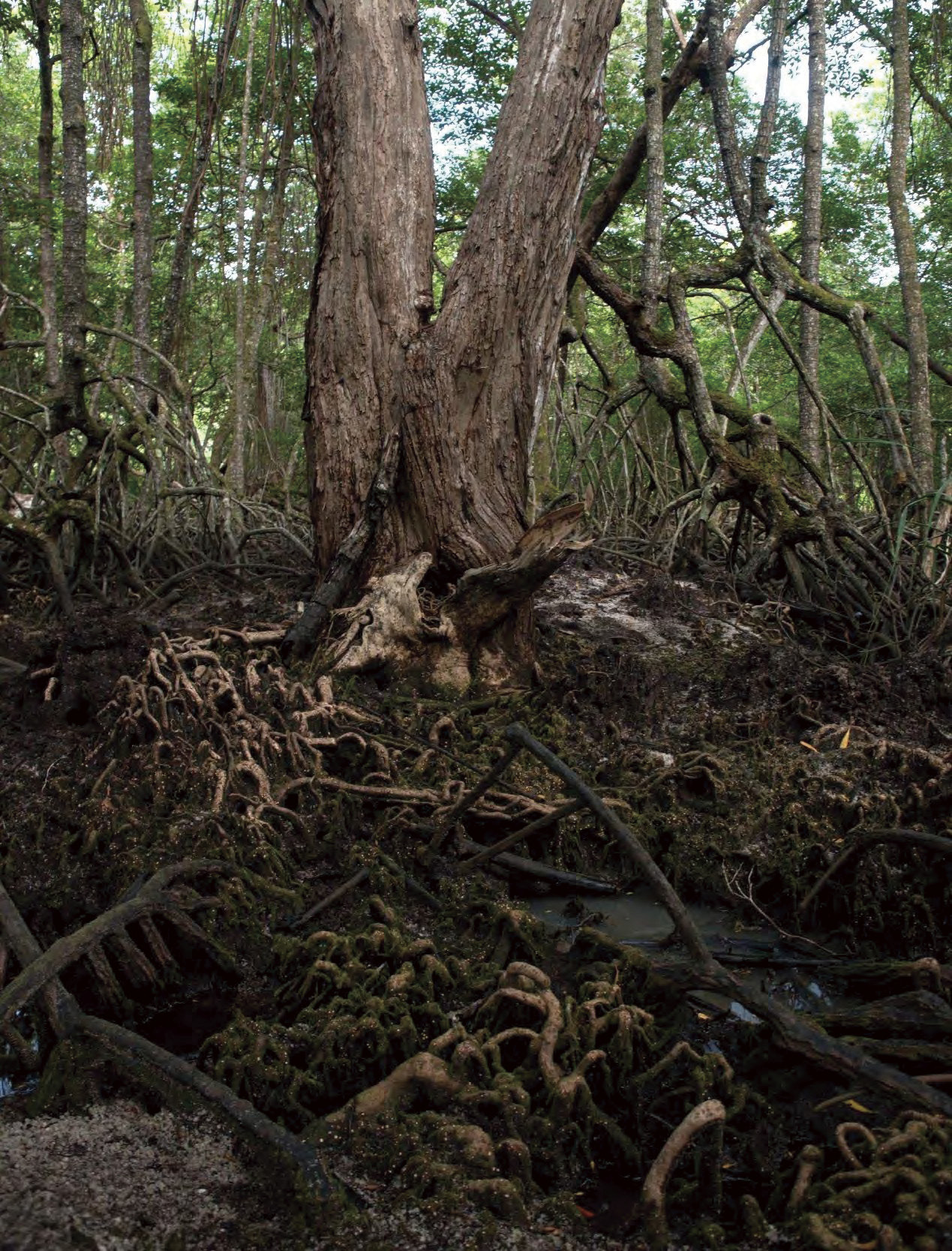
Figure 4-9 The big and old red-flowered black mangrove Lumnitzera littorea with an extensive root system. This species inhabits a narrow habitat niche in the back-mangrove zone. In some countries, this species is vulnerable to extinction due to coastal development. (Photo by Chew LL)
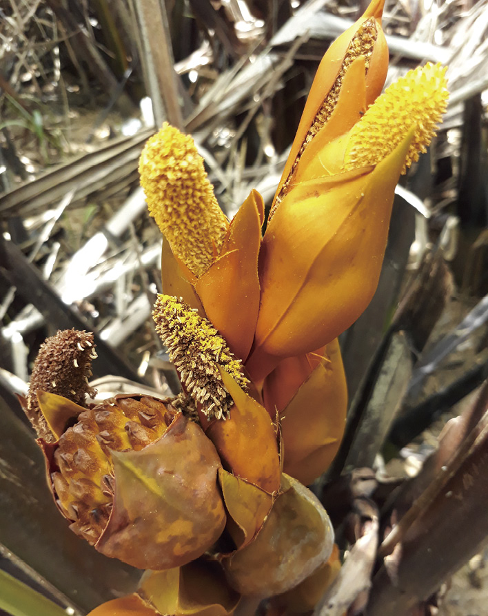
Figure 4-10 The Nypa flower with sweet-scented fragrant attracts multiple pollinators. The Nypa fruits are used as one of the dessert ingredients, while Nypa palm leaves are used for traditional roofing. (Photo by Chew LL)


References
Alongi D M. 2015. The impact of climate change on mangrove forests. Current Climate Change Reports, 1(1): 30-39
Amir A A. 2018. Mitigate risk for Malaysia’s mangroves. Science, 359(6382):1342-1343. AAAS. DOI: 10.1126/science.aas9139
Audrey D. 2021. Plan to gazette 955 ha of mangrove land as permanent forest reserves. New Straits Times. https://www.nst.com.my/news/nation/2021/05/690318/plan-gazette-955ha-mangrove-land-permanent-forest-reserves[2025-10-30]
Audrey D. 2022. DoE probes release of leachate into mangrove reserve. New Straits Times. https://www.nst.com.my/news/nation/2022/09/833277/doe-probes-release-leachate-mangrove-reserve#google_vignette[2025-10-30]
Audrey D. 2025. Death of mangrove trees: Penang consumer group calls for probe. New Straits Times. https://www.nst.com.my/news/nation/2025/02/1173017/death-mangrove-trees-penang-consumer-group-calls-probe[2025-10-30]
Benjamin L. 2026. Over 40,000 ha of mangrove forests lost in Malaysia since 2017, says Environs Ministry. The Star. https://www.thestar.com.my/news/nation/2026/01/27/over-40000ha-of-mangrove-forests-lost-in-malaysia-since-2017-says-environs-ministry?gsid=2967a61c-07ed-4479-9b64-f86225cc38e4&utm_source=chatgpt.com[2025-10-30]
Bernama. 2020. Bukit Malut illegal settlement not on mangrove forest, reserve land. https://www.bernama.com/en/news.php?id=1865127[2025-10-30]
Bernama. 2023. Malaysia fulfils pledge to maintain 50pc of forest cover, says deputy. Malay Mail. https://www.malaymail.com/news/malaysia/2023/06/12/malaysia-fulfils-pledge-to-maintain-50pc-of-forest-cover-says-deputy-minister/73898[2025-10-30]
Bernama. 2025a. Govt allocated over RM71mil on mangrove conservation since 2006. New Straits Times. https://www.nst.com.my/news/nation/2025/09/1278488/govt-allocated-over-rm71mil-mangrove-conservation-2006[2025-10-30]
Bernama. 2025b. 35 national river trail programmes implemented this year. New Straits Times. https://www.nst.com.my/news/nation/2025/08/1268012/35-national-river-trail-programmes-implemented-year[2025-10-30]
Bernama. 2025c. Malaysia Formulating Blue Economy Blueprint Under 13th Malaysia Plan – Hanifah Hajar. https://www.bernama.com/en/news.php?id=2472618[2025-10-30]
Chan H T. 1987. Mangrove management in Sarawak //Field C D, Dartnall A J. Mangrove Ecosystems of Asia and the Pacific: Status, Exploitation and Management. Manila: UNESCO and the Australian National University: 81-90
Chong V C. 2006. Sustainable utilization and management of mangrove ecosystems of Malaysia. Aquatic Ecosystem Health & Management, 9: 249-260
Chong V C, Sasekumar A, Leh M U C, et al. 1990. The fish and prawn communities of a Malaysian coastal mangrove system, with comparisons to adjacent mud flats and inshore waters. Estuarine, Coastal and Shelf Science, 31(5): 703-722
Chong V C, Sasekumar A, Lim K H. 1994. Distribution and abundance of prawns in a Malaysian mangrove system // Sudara S, Wilkinson C R, Chou L M. Proceedings of the Third ASEAN-Australia Symposium on Living Coastal Resources. Bangkok: Chulalongkorn University: 437-445
Department of Fisheries Malaysia. 2021. Fisheries Industry Scenario 2021. Ministry of Agriculture and Food Industries, Malaysia
Ellison J C. 2015 Vulnerability assessment of mangroves to climate change and sea-level rise impacts. Wetlands Ecology and Management, 23(2): 115-137
Faridah-Hanum I, Yusoff F M, Fitrianto A, et al. 2019. Development of a comprehensive mangrove quality index (MQI) in Matang Mangrove: assessing mangrove ecosystem health. Ecological Indicators, 102: 103-117
Hassan O. 2021. Bakau dicemari tumpahan minyak cuma boleh hidup setahun. Berita Harian. https://www.bharian.com.my/berita/nasional/2021/03/797086/bakau-dicemari-tumpahan-minyak-cuma-boleh-hidup-setahun[2025-10-30]
Institute of Ocean & Earth Sciences, University of Malaya. Sixth National Report of Malaysia to the Convention on Biological Diversity. 2019. Ministry of Energy and Natural Resource, Malaysia. https://www.cbd.int/doc/nr/nr-06/my-nr-06-en.pdf[2025-10-30]
Islam M A, Billah M M, Idris M H, et al. 2024. Mangroves of Malaysia: a comprehensive review on ecosystem functions, services, restorations, and potential threats of climate change. Hydrobiologia, 851(8): 1841-1871.
Jusoff K, Tamin N M. 1998. Mangrove forest and climate change in Malaysia // Noor I F M, Abdullah M T, Ngah R H K. Proceedings of the National Conference on Climate Change. Bangi: Universiti Kebangsaan Malaysia Press: 215-222
Kanniah K D, Sheikhi A, Cracknell A P, et al. 2015. Satellite images for monitoring mangrove cover changes in a fast-developing area in southern Peninsular Malaysia. Remote Sensing, 7(11): 14360-14385
Latiff A. 2012. Conservation strategies for endangered mangrove swamp forests in Malaysia. Pakistan Journal of Botany, 44(SI2): 27-36
Malay M. 2021. Sungai Segari site belongs to Perak Agricultural Development Corp, approved for prawn farming since 2019, says MB. https://www.malaymail.com/news/malaysia/2021/01/31/sungai-segari-site-belongs-to-perak-agricultural-development-corp-approved/1945744[2025-10-30]
Omar H. 2024. Status of Mangroves in Malaysia (FRIM Special Publication No. 60). Kepong, Malaysia: Forest Research Institute Malaysia. ISBN 978-967-2810-77-3.
Omar H, Husin T M, Parlan I, et al. 2020. Status of Mangroves in Malaysia. Kepong, Malaysia: Forest Research Institute Malaysia. ISBN 978-967-2149-81-1
Ooi J B. 1996. Mangroves of Southeast Asia: status, exploitation and management // Field C D. Restoration of Mangrove Ecosystems. Okinawa, Japan: International Society for Mangrove Ecosystems (ISME): 37-47.
Perak State Forestry Department. 2010. The Matang Mangrove Forest Reserve Working Plan (2010-2019). Taiping, Perak: Forestry Department of Peninsular Malaysia
Ramli M F, Zhang L. 2017. Integration of remote sensing, GIS, and ICT technologies for mangrove carbon stock and hydrodynamic modeling. Environmental Earth Sciences, 76(23): 1-13
Sasekumar A, Chong V C. 1994. The fish community of Matang mangrove waters // Sudara S, Wilkinson C R, Chou L M. Proceedings of the Third ASEAN-Australia Symposium on Living Coastal Resources. Vol. 2: Research Papers. Bangkok, Thailand: Chulalongkorn University: 457-464
Sasekumar A, Chong V C. 2012. Mangrove and coastal environment, Selangor, Malaysia. IOES Monograph Series No. 14. Kuala Lumpur, Malaysia: Institute of Ocean & Earth Sciences, University of Malaya
Tangah J, Ashton E C, Chan H T, et al. 2022. Mangroves of Malaysia // Das S C, Pullaiah T, Ashton E C. Mangroves: Biodiversity, Livelihoods and Conservation. Singapore: Springer: 373-395
The Star. 2022. Creating forested wetlands. https://www.thestar.com.my/metro/metro-news/2022/01/08/creating-forested-wetlands[2025-10-30]
The Star. 2025. Building coastal resilience with nature-based solutions. https://www.thestar.com.my/starpicks/2025/07/31/building-coastal-resilience-with-nature-based-solutions [2025-10-30]
Ward R D, Friess D A, Day R H, et al. 2016. Impacts of climate change on mangrove ecosystems: a region by region overview. Ecosystem Health and Sustainability, 2(4): e01211Chapter 5 Mangroves in Myanmar: Status, Conservation, and Management


Chapter 5 Mangroves in Myanmar: Status, Conservation, and Management
Authors:
• Aung Myint Oo, Biodiversity and Nature Conservation Association (BANCA)
• Ding Liyong, Birdlife International Asia, Biodiversity and Nature Conservation Association (BANCA)
• Thiri Dae We Aung, Biodiversity and Nature Conservation Association (BANCA)


Abstract
Myanmar hosts some of the most extensive mangrove ecosystems in Southeast Asia, with large area of mangrove forests still distributed across the Ayeyarwady Delta (Figure 5-1), Rakhine State, and the Tanintharyi Region, despite losses due to deforestation in the past decade. Mangrove forests in Myanmar are vital for biodiversity (including threatened species such as spotted greenshank, Irrawaddy dolphin), climate resilience, coastal protection, and community livelihoods but they continue to face mounting threats from agricultural expansion, aquaculture, infrastructure development, and unsustainable harvesting. Mangroves in the Ayeyarwady Delta for instance, have over time been gradually lost to the expansion of rice cultivation. As of 2020, Myanmar’s total mangrove cover was estimated at only 431,000 hectares, representing a substantial decline from over 500,000 hectares a decade ago. Political instability in recent years has worsened the situation. Despite the recognized ecological and socioeconomic value of mangroves, only about 3% of Myanmar’s mangrove estate falls within protected areas such as wildlife sanctuaries and Ramsar-designated wetlands. The remainder lies outside formal protection and remains vulnerable to degradation. While the government has expanded some mangrove reserves and created new protected forests in recent years, coverage remains patchy, and enforcement is often weak. Efforts to restore mangroves are increasing, with initiatives led by the government, NGOs such as BANCA and international agencies, through community-based reforestation, blue carbon projects, and REDD+ initiatives (Figure 5-2). However, major gaps and challenges persist. To improve mangrove conservation and restoration in Myanmar, there is a need to scale up protection by designating the remaining significant areas of mangrove zones as protected areas, while strengthening legal and institutional frameworks. Restoration efforts must shift from planting to ecologically guided and community-driven approaches that are integrated with local livelihoods. Robust monitoring systems, better land tenure security for local communities, and integration of mangrove conservation into national climate and development policies are also essential. Without urgent, coordinated, and sustained action, Myanmar risks further loss of one of its most valuable coastal ecosystems.
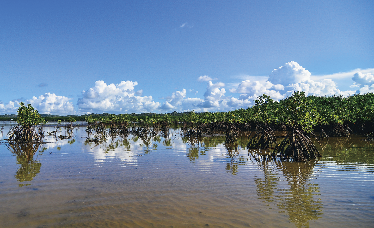
Figure 5-1 Myanmar Mangroves B (Photo by Stephen Brooks)
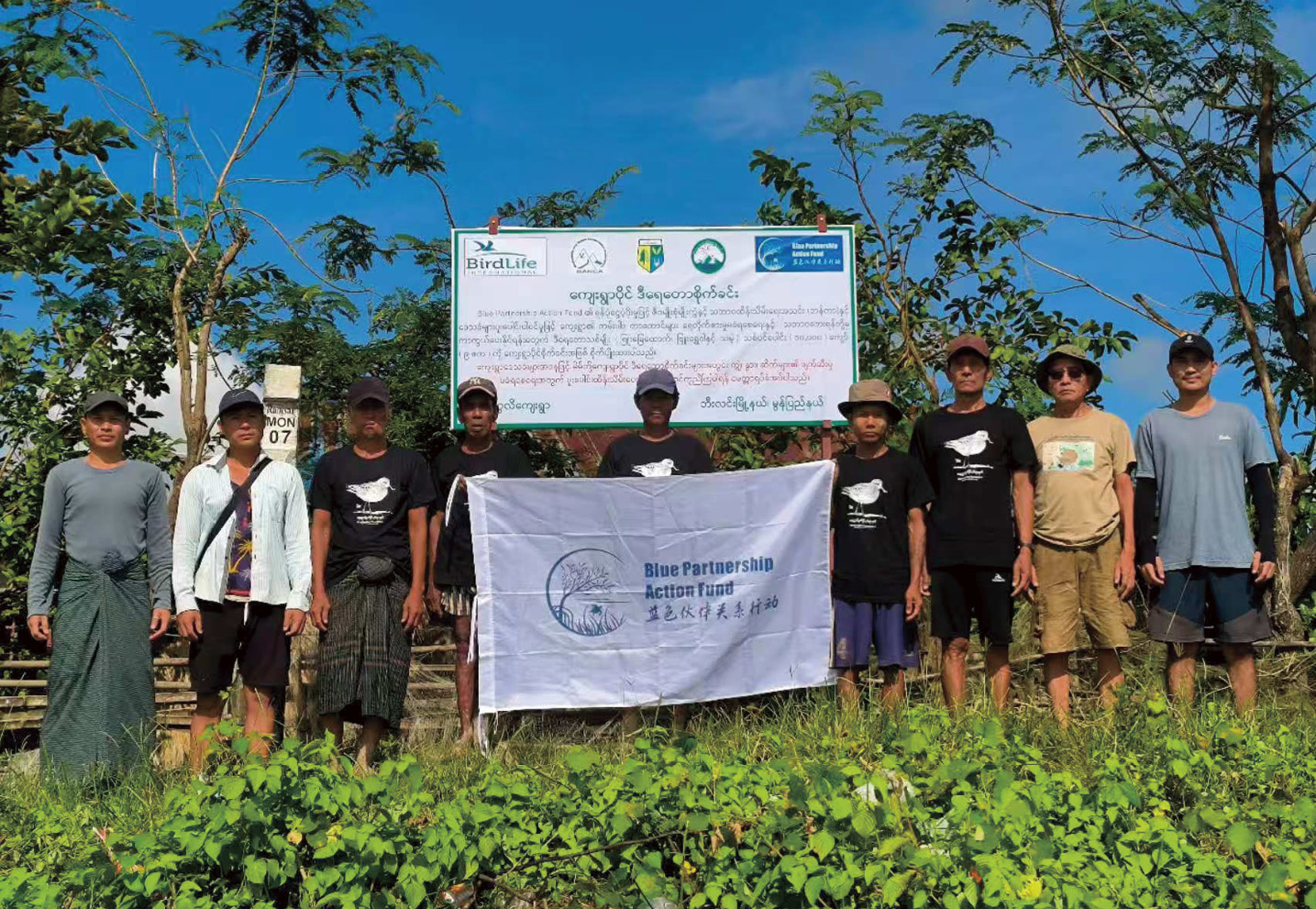
Figure 5-2 Efforts to restore mangroves are increasing, with initiatives led by NGOs and international agencies. (Photo by BANCA)


5.1 Status of Mangrove Resources
Myanmar has some of the most extensive and diverse mangrove forests in Southeast Asia (Figure 5-3) and the Asia-Pacific region along its 3,000 km coastline spanning the Bay of Bengal and the Andaman Sea to the south (Zöckler and Aung 2019). Hamilton and Casey (2016) estimated that mangrove forest cover in Myanmar comprised 2.3% to 3.1% of the world’s total cover in 2014. Mangroves forests are the predominant coastal vegetation in Myanmar, and the country supports the eighth largest mangrove forest cover in the world, and the third largest in Southeast Asia (8.8% of Southeast Asia’s mangroves) (Spalding et al., 2010; Estoque et al., 2018; Zöckler and Aung 2019; also see Figure 5-4). At present, Myanmar’s mangrove cover is concentrated in three coastal regions across the country, the Rakhine Coastal Region, the Ayeyarwady Delta and the Tanintharyi Coastal Region where mangroves remain the most intact (Zöckler and Aung 2019), and to a lesser extent in Yangon and Mon State on the Gulf of Mottama (Estoque et al., 2018). The Rakhine Coastal Region stretches from the mouth of Naaf River on the Bangladesh frontier to Maw Tin Point (about 740 km), the Ayeyarwady Delta and the Gulf of Mottama Coastal Region is defined from Maw Tin Point to the Gulf of Mottama (about 460 km) and the Tanintharyi Coastal Region (which extends south to the Pakchan River on the Myanmar-Thai border, about 1,200 km). These areas feature extensive estuaries and deltaic systems, along with the offshore islands of the Myeik Archipelago with diverse coastal habitats (Zöckler and Aung 2019; Soe-Win and Tin-Zar-Ni-Win, 2021; also see Figure 5-5).
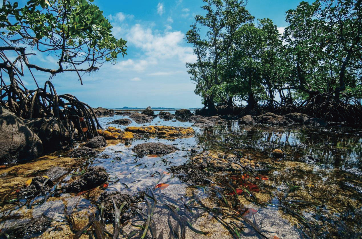
Figure 5-3 Myanmar has some of the most extensive and diverse mangrove forests in Southeast Asia. (Photo by Stephen Brooks)
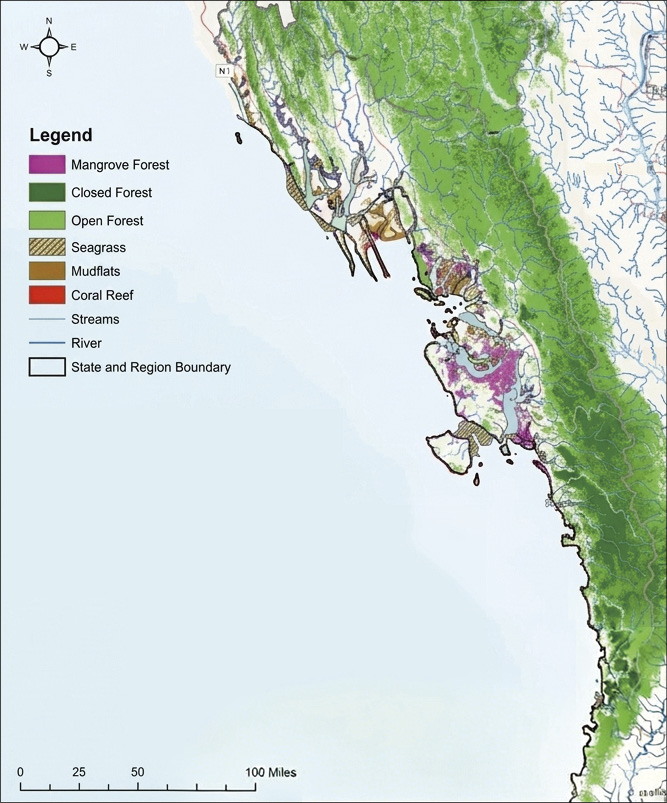
Figure 5-4 Distribution of mangrove forest cover in Myanmar. (1 mile=1.609 344 km) (source: Aung et al., 2022)
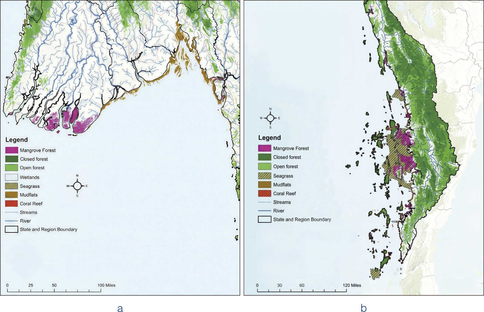
Figure 5-5 Mangrove cover in the Rakhine area. Mangrove covered in Ayeyarwady Region (a), Mangrove cover in Tanintharyi Region (b). (source: Aung et al., 2022)
In 2005, Myanmar was estimated to hold 507,000 hectares of mangrove forests (FAO, 2010) and this was estimated to cover 462,964 hectares in 2015. UN-REDD (2019) reported that Myanmar had about 505,524 hectares of mangrove forest in 2016. An analysis by Estoque et al. (2018) showed that Myanmar had suffered a net loss of 191,120 hectares of mangrove forest cover between 2000 and 2014, an equivalent to a 28.66% net loss relative to mangrove cover in the country in 2000. About 34% of Myanmar’s mangroves are in areas defined as “Forest Land” in Myanmar (i.e., Permanent Forest Estates), which gives them some degree of formal protection.
At present, the vast Ayeyarwady Delta is among the most threatened coastal landscapes and wetland ecosystems in Myanmar due to its dense population and rapid land-use change for agriculture (De Alban et al., 2020). It once possessed the largest extent of mangrove forests in Myanmar until Cyclone Nargis in 2008, which caused extensive damage (Aung et al., 2011). Dense mangrove cover in the Ayeyarwady Delta declined from 2,623 km² in 1978 to less than 1,000 km² in 2011, indicating an annual deforestation rate of three percent over this period (Hamilton and Casey, 2016; Richards and Friess, 2016). Rakhine and Ayeyarwady have correspondingly suffered the largest loss of mangrove forests in the country, followed by Tanintharyi. However, there is a small net increase in mangrove cover in Myanmar, of an estimated 1.3% between 2016 and 2021 (5 years) based on satellite imagery from the UN-REDD programme. At present, 97% of the total mangrove area in Myanmar is distributed among three regions: Tanintharyi, Rakhine and the Ayeyarwady Delta. Of these, Rakhine had the greatest increase, with an annual net increase rate of circa 1%, while the Ayeyarwady Region continues to suffer loss in mangrove cover, with an annual net loss of almost 1% (UN-REDD, 2019).
There are about 37 true mangrove species reported in Myanmar to date, alongside more than 100 species associated with coastal mangrove ecosystems (also see Table 5-1). Mangrove species richness is highest in the south in Tanintharyi, followed by the Ayeyarwady Region and Rakhine (Tin-Zar-Ni-Win and Soe-Win, 2020; also see Table 5-2). A study of mangroves in Myeik’s coasts recorded 21 species of true mangrove in five sampled sites. Among the widely distributed species are Rhizophora apiculate , R. mucronata, Avicennia officinalis, Sonneratia alba, Aegiceras corniculatum, and Nypa fruticans, which occur in all studied sites in Myeik (Tin Zar Ni Win and U Soe Win, 2020). Several species are rare or highly local, for instance, Bruguiera gymnorhiza and Heritiera littoralis which are restricted to the shoreline or to landward zones. As with the rest of tropical Asia, the zonation of mangroves on Myanmar’s coastline reflects gradients of salinity and inundation: species with stilt or prop roots (such as Rhizophora spp.) dominate the seaward zone of a mangrove forest while more freshwater tolerant or less salt stress tolerant species such as Bruguiera spp. are distributed further inland. Specific back-mangrove “swamp forests” dominated by Kanazo or Heritiera fomes in the Ayeyarwady Region represent a specialised zone (Aung et al., 2011).
Table 5-1 List of true mangrove species in Myanmar
| True mangroves species | Distribution area | IUCN Red List Category |
| Acanthus ilicifolius | A, R and T* | LC** |
| Acanthus volubilis | A, R and T | LC |
| Acrostichum aureum | A, R and T | LC |
| Acrostichum speciosum | A and R | LC |
| Aegialitis rotundifolia | A, R and T | NT |
| Aegiceras corniculatum | A, R and T | LC |
| Avicennia alba | A, R and T | LC |
| Avicennia marina | A and R | LC |
| Avicennia officinalis | A and R | LC |
| Amoora cucullata | A and R | DD |
| Barringtonia racemosa | A and R | LC |
| Brownlowia tersa | A and R | LC |
| Bruguiera cylindrica | A, R and T | LC |
| Bruguiera gymnorhiza | A, R and T | LC |
| Bruguiera parviflora | A, R and T | LC |
| Bruguiera sexangula | A, R and T | DD |
| Bruguiera hainesii | R and T | CR |
| Ceriops decandra | A and R | NT |
| Ceriops tagal | A, R and T | LC |
| Cynometra ramiflora | A and R | LC |
| Excoecaria agallocha | A, R and T | LC |
| Heritiera fomes | A, R and T | EN |
| Heritiera littoralis | A and R | LC |
| Hibiscus tiliaceus | A, R and T | LC |
| Kandelia candel | A, R and T | LC |
| Lumnitzera littorea | A and R | LC |
| Lumnitzera racemosa | A | LC |
| Nypa fruticans | A, R and T | LC |
| Phoenix paludosa | A, R and T | NT |
| Pemphis acidula | LC | |
| Rhizophora apiculata | A and T | LC |
| Rhizophora mucronata | A and T | LC |
| Sonneratia alba | A, R and T | LC |
| Sonneratia apetala | A, R and T | LC |
| Sonneratia caseolaris | A | LC |
| Sonneratia griffithii | A | CR |
| Xylocarpus granatum | A and R | LC |
| Xylocarpus moluccensis | A and R | LC |
* A, R and T indicate Ayeyarwady, Rakhine and Tanintharyi respectively
** CR, EN, NT, LC and DD indicate Critically Endangered, Endangered, Near Threatened, Least Concern and Data Deficient respectively
Table 5-2 Dominant mangrove species in Myanmar’s three coastal regions with significant mangrove
| Region | Dominant species |
| Rakhine Region | Rhizophora apiculata, R. mucronata, Heritiera fomes |
| Rhizophora spp.(also see Figure 5-6), H. fomes, Xylocarpus spp., Excoecaria agallocha, Avicennia spp., Bruguiera spp., Ceriops spp., Sonneratia spp. | |
| Tanintharyi Region | R. apiculata, R. mucronata |
In general, mangrove forests in Myanmar are assessed as having declined steadily, with extensive loss in the Ayeyarwady Delta (De Alban et al., 2020). The loss from 2010 to 2020 (from ~540,000 to ~431,000 hectares) shows an unequivocal downward trend. However, some recovery of mangrove wwforests has occurred along the coast as a result of natural regeneration or targeted restoration and planting by local communities (Aung et al., 2011). The drivers of mangrove loss in Myanmar are comparable to many other parts of Southeast Asia. In the Ayeyarwady Delta, land conversion along the coastline and the wider intertidal belt for rice agriculture, shrimp aquaculture and the expansion of settlements have led to the clearance of large areas of mangroves, with over half converted in recent decades (Otsuyama et al., 2017; Aye and Takeda, 2020). Overexploitation of mangroves for fuelwood, charcoal, timber, and construction materials has degraded some areas of forests, with the sought-after Kanazo (Heritiera fomes) targeted. Myanmar’’s geographic position on the Bay of Bengal also exposes the coastline to damaging cyclones, notably the powerful Cyclone Nargis of 2008 which caused major damage to the mangroves of the Ayeyarwady Delta through a combination of increased saline intrusion and sudden hydrology shifts arising from storm surges (Besset et al., 2017), which can damage young, regenerating areas. Threats to mangroves in Myanmar are amplified by governance and policy gaps—particularly weak legal protection in the form of “unclassified forests”—which, compounded by political instability, have exposed mangroves to illegal wood extraction, unauthorized conversion and clearance for settlements and infrastructure.
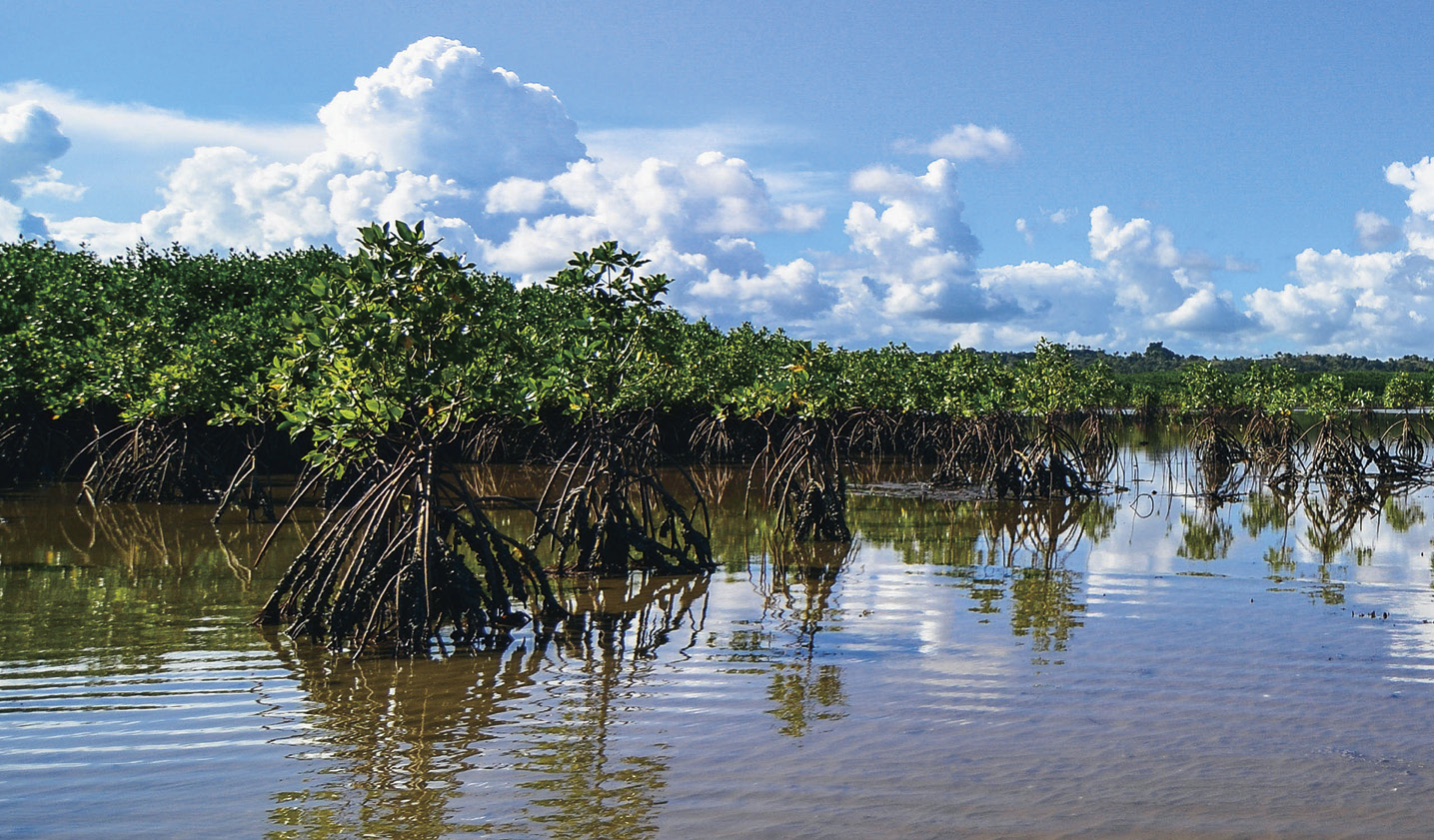
Figure 5-6 Mangrove forests in Myanmar, dominated by Rhizophora spp. (Photo by Stephen Brooks)


5.2 Status of Mangrove Protection and Management
Myanmar’s Forest Law of 2018 (Section 6[e]) provides the main legal framework for the designation of protected mangrove forests. The Forest Law 2018 replaced earlier statutes and provides the legal basis for forest land management, establishment of protected areas, forest plantations. It also regulates the use of forest resources, forest protection and defines the penalties for violations, with clear recognition of mangrove forests. Another important law is the Conservation of Biodiversity and Protected Areas Law (2018), which replaces earlier laws governing wildlife resource use and protection, and protected areas. It strengthens mechanisms for designating protected areas, introduces Community Protected Areas, and recognizes the roles of local communities in managing ecosystems.
In addition to these two laws, national policies with implications on the conservation and management of mangroves include Myanmar’s National Land Use Policy (2016), National Environmental Policy (2019), and Myanmar Climate Change Policy (2019). These policies set broad goals for sustainable land use, environmental protection, climate adaptation and mitigation, and support the alignment of mangrove conservation to national development priorities. Myanmar’s National Biodiversity Strategy and Action Plan (NBSAP) of 2015 and 2020 has both defined targets to protect mangroves (e.g. setting aside ≥10% of mangroves under protection, also for sustainable use). Under Myanmar’s Nationally Determined Contributions (NDC), mangrove protection, restoration, and sustainable management are included in the country’s climate commitments. The Myanmar Reforestation & Rehabilitation Programme (MRRP) and REDD+ Strategy all include priorities and actions on mangrove restoration, carbon stock tracking, reducing degradation.
Over time, the Myanmar government has progressively designated new protected areas, including protected forests and marine parks that hold mangrove forest cover. Most recently, Myanmar’s Ministry of Natural Resources and Environmental Conservation (MONREC) has officially designated a mangrove forest area in Sinku Island as a protected mangrove forest under Notification 73/2025, effective from 22 July 2025 (13th Waning of Waso, 1387 ME).


5.3 Status of Management
As of 2020, Myanmar is estimated to hold about 431,228 hectares of mangrove forest cover (Tun et al., 2025), having declined by over 100,000 hectares in the past decade. Despite extensive conversion and loss, Myanmar still retains some of the largest areas of mangrove cover in Southeast Asia. However, much of Myanmar’s mangrove forest cover is degraded or fragmented, with mangroves in the Ayeyarwady Delta having suffered the most extensive and rapid loss.
Presently, the proportion of mangrove forests with legal protection in Myanmar is still limited even though it has gradually increased with the designation of more protected areas. For example, over 700,000 acres (1 acre = 0.4047 hectares) of 43 protected public mangrove forests have been established across the country. Such protected areas of mangrove forests (as “greenbelt”) is estimated to cover about 23,855 acres in the Yangon region alone. Myanmar’s Forest Department has been active designating new protected mangrove forests in Tanintharyi. At the same time, community forest systems are becoming more common through work by non-governmental organizations and community groups. Typically, these newly designated areas of protected mangrove forests are intended to:
i) To ensure long-term sustainability of mangrove ecosystems; improve management; protect biodiversity; mitigate natural disaster impacts (tidal waves, cyclones).
ii) To provide sustainable resources for local communities (fish, crabs, prawns).
iii) To protect key mangrove species.
As a party to the Convention on Wetlands (the Ramsar Convention), Myanmar has several designated several coastal wetlands that hold significant areas of mangrove and intertidal ecosystems. Key Ramsar sites that support important areas of mangroves include:
i) Meinmahla Kyun Wildlife Sanctuary in the Ayeyarwady Delta, an extensive coastal landscape covering mangroves, estuaries and mudflat habitats.
ii) Gulf of Mottama (also called Gulf of Martaban) in Mon State covers vast mudflats and intertidal zones, and some mangroves.
iii) Nanthar Island and Mayyu Estuary in Rakhine State were designated in 2020 and include small areas of mangrove forest.
Despite the number of protected areas and Ramsar Sites, the fraction of mangrove forests that is formally protected is comparatively low. UN-REDD (2019) noted that only about 3% of Myanmar’s mangroves are within formal protected areas, while protected areas like Meinmahla Kyun and other sites collectively protect less than 1% of the national mangrove stock. Several areas of mangrove forests were recently designated as protected or buffer/protected mangrove forest reserves (Table 5-3).
Table 5-3 Recent designation of mangrove protected area in Myanmar
| Name | Region/Township | Approximate size | Year/Notification |
| Sinku Island Mangrove Protected Forest | Kyunsu Township, Myeik District, Tanintharyi Region | ~ 9,604 acres | Notification 73/2025 (effective 22 July 2025) (MDN - Myanmar Digital News) |
| Salontaung Island Mangrove Buffer Protected Forest | Kyunsu, Tanintharyi Region | ~11,786.8 acres | Notification 72/2025 (22 July 2025) (MDN - Myanmar Digital News) |
| Khokyun Protected Public Mangrove Forest | Kyunsu, Tanintharyi Region | ~ 23,370 acres | Notification 71/2025 (22 July 2025) (Global New Light of Myanmar) |
| Aung Namaik Protected Mangrove Forest | Kawa Township, Bago Region | ~ 28,392 acres | Notification 42/2025 (30 April 2025) (MDN - Myanmar Digital News) |
| Thaton Township, Mon State | Mon State | ~ 9,284 acres | Designated 2 Jan 2025 |
Restoration and sustainable use practices are being adopted in several parts of Myanmar, often through international projects (UNDP, UN Habitat, international donors). Threats, however, remain significant conversion to agriculture or shrimp farming, climate change impacts (sea level rise, storms), illegal harvesting, and weak enforcement.


5.3.1 Status of mangrove ecological restoration
Myanmar has a legal and institutional framework for mangrove conservation through the Forest Law, which provides the main legal basis for the designation of protected mangrove areas. Besides protected areas and public mangrove forests, national initiatives like the Myanmar Reforestation and Rehabilitation Programme (MRRP) further support mangrove restoration, while the Forest Department oversees enforcement and management. Myanmar has many ongoing mangrove restoration and conservation efforts at various scales, driven by national government, international partners, NGOs, community groups, and private sectors or carbon finance projects. These initiatives differ in scope, geography, method, and goals. Below are key initiatives and plans, grouped by type, with recent developments.
Community and livelihood-based projects play a vital role in mangrove conservation across Myanmar. Through the establishment of Community Forest User Groups (CFUGs), local communities are typically empowered to manage and protect mangrove areas while benefiting from the use of wetland resources. These CFUGs often engage in reforestation activities, mangrove monitoring, and small-scale harvesting of wetland products such as shellfish. Alternative livelihoods such as beekeeping, crab farming, and the production of traditional medicines have also been encouraged to reduce local people’s dependence on practices that are damaging to wetlands such as charcoal production. In the Ayeyarwady Delta and Tanintharyi, mangrove-friendly aquaculture has also been introduced. Such community-driven approaches can be expected to strengthen local stewardship and improve the sustainable use of mangrove ecosystems.
Restoration and ecosystem-based conservation strategies focus on rehabilitating degraded mangrove areas and restoring their ecological functions. Such efforts include reforestation projects led by the government, NGOs, and international partners with the aim at increasing mangrove cover and resilience, and complemented with community involvement, education, and the establishment of mangrove parks for public awareness (Figure 5-7).
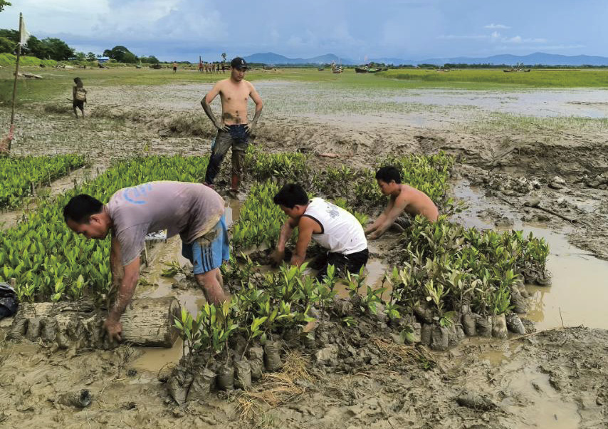
Figure 5-7 The BANCA team is preparing seedlings together with the local conservation groups. (Photo by BANCA)


5.3.2 Restoration techniques
In Myanmar, mangrove restoration and ecosystem-based conservation employ a combination of methods tailored to local environmental conditions. The most effective and increasingly adopted approach is Ecological Mangrove Restoration (EMR) (Teutli-Hernández et al., 2020), which focuses on restoring hydrology, substrate conditions, and allowing mangroves to regenerate naturally, rather than relying solely on planting. Hydrological restoration is crucial for the re-establishment of tidal flushing by means of removing barriers or reopening blocked waterways. Direct seedling or propagule planting, a traditional method, is still widely used, especially by government-led replanting programmes, but often results in lower recruitment and survival rates of mangroves if ecological conditions are not ideal. To improve resilience and biodiversity, mixed (mangrove) reforestation—planting multiple mangrove species rather than monocultures of single species, can be combined with assisted natural regeneration (ANR), where protection and minimal intervention allow natural regeneration. Community-based mangrove restoration plays a key role in mangrove restoration in many parts of Myanmar, with local people participating in planning, planting, and monitoring while receiving some financial incentives through alternative livelihoods interventions. Such approaches can ensure long-term sustainability and benefits for local people.
The Worldview International Foundation’s mangrove restoration project in the Gulf of Mottama is the first to receive Verified Carbon Standard (VCS) certification in the country. The restoration initiative commenced in 2012 and has since successfully planted over 6 million seedlings across the Gulf (covering over 2,000 hectares), achieving an 86% survival rate (Burger, 2018). In time, this ambitious project aims to restore up to 100,000 hectares of mangrove forests. The Worldview project also emphasizes community engagement and equitability, with 70% of field staff being women trained in mangrove restoration.
Another notable restoration initiative is the Myanmar Environmental Rehabilitation Network (MERN), which established a restoration project in the buffer zone of Meinmahla Kyun in 2024 (MERN Myanmar, 2024), and involves the establishment of a revolving fund mechanism to support local communities with livelihoods such as crab harvesting and livestock farming. Profits from these economic activities are reinvested into mangrove restoration efforts. The project promotes community involvement and sustainable resource use to enhance both ecological and socioeconomic resilience.
The Biodiversity and Nature Conservation Association (BANCA) is actively engaged in mangrove afforestation in the Gulf of Mottama where it has worked for a decade. In 2025, the BANCA team planted 10,000 seedlings over an intertidal area of nine acres in Zokekali Village, Bilin Township. This restoration project involves strong community participation, with members of the local conservation groups directly involved in both seedling planting and propagule planting for nursery establishment. The planting sites are located at enclosed tidal inlets, ensuring optimal conditions for mangrove growth. The restoration approach used here emphasizes ecological value by restoring the natural hydrology and habitat conditions for healthy mangrove ecosystems (Figure 5-8, Figure 5-9, Figure 5-10).
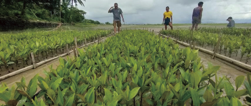
Figure 5-8 BANCA team monitors the seedlings together with local conservation groups. (Photo by BANCA)
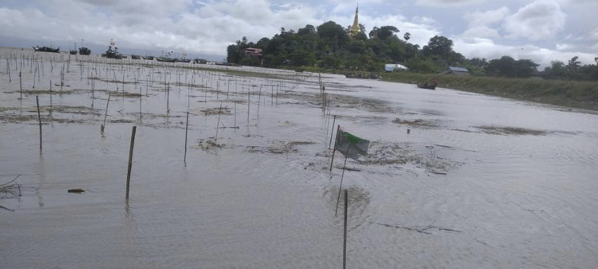
Figure 5-9 Planting of mangroves in Zokekali village. (Photo by BANCA)
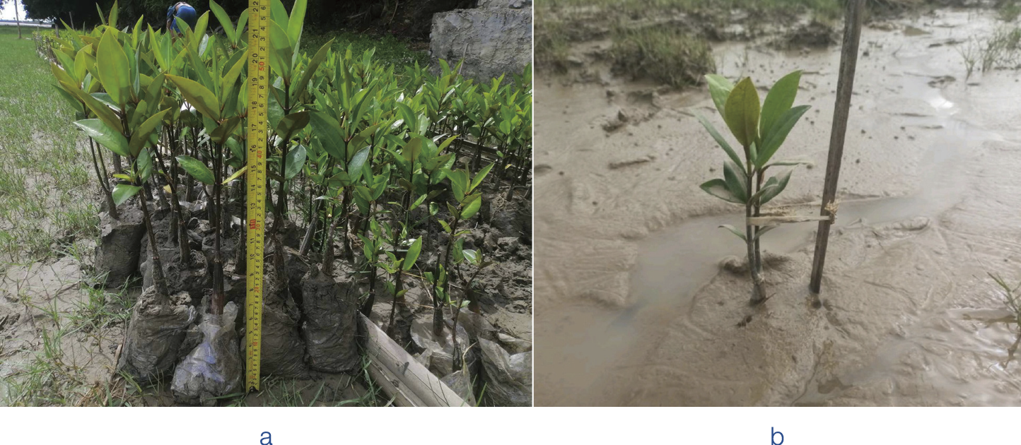
Figure 5-10 (a) Demonstration of seedling size. (Photo by BANCA); (b) Planting of seedling in the field at identified restoration sites. (Photo by BANCA)


5.4 Gap Analysis and Recommendations for Conservation and Management
Mangroves perform critical ecological, socioeconomic, and climate mitigation roles through carbon sequestration and coastal protection from storm events. The mangrove environment also provides nursery grounds for fisheries which benefit local livelihoods. In Myanmar, there are significant gaps that have reduced the effectiveness, sustainability, and equity of present conservation and restoration efforts. These gaps include data and knowledge, policy and governance, restoration methodology, social and livelihood dimensions, climate and environmental threats. Here, we examine these gaps and how addressing them can inform and guide next steps for conservation and management.


5.4.1 Data and knowledge gaps
Detection and measurement of long-term changes in mangrove cover have improved in recent years, driven by advances in remote sensing data and AI approaches. For example, Win and Sasaki (2024) used a deep learning model on Landsat and Sentinel-2 imagery plus elevation data to track mangrove cover in the Wunbaik mangroves from 1990 to 2024 and found 29.3% deforestation over the last 34 years, with modest gains from reforestation. A complementary approach, using an algorithm for continuous change detection and classification (CCDC) algorithm - analyzed mangrove disturbance in Myanmar over 1990-2020, achieving approximately 85.5% accuracy and revealing that most disturbed mangroves had fewer recurrence of disturbances. Despite these studies, mangroves in many regions remain under-monitored, especially for sub national variation and hydrological or soil conditions that influence restoration success.
There are also knowledge gaps regarding mangrove restoration activities. Many restoration projects rely heavily on planting but lack attention to the conditions needed for successful restoration (soil condition, elevation, inundation regime, salinity). A lack of hydrological restoration or removing barriers can compromise the effectiveness of mangrove restoration work. However, there is limited work to investigate these areas in Myanmar.


5.4.2 Policy and governance gaps
Conflicts in policy and laws may also impair mangrove conservation and restoration activities. Myanmar has forest laws (such as the Forest Law 1992, the Forest Rules 1995), but there are also policies that promote agricultural expansion, especially for rice cultivation which do not fully account for environmental trade-offs.
In the Ayeyarwady Delta, the expansion of paddy fields has been heavily encouraged and is one of the main drivers of mangrove loss. Weak enforcement and oversight of legislation and policies, even in protected areas mean that encroachment occurs regularly. Illegal logging and encroachment into mangrove forests or the expansion of shrimp ponds or aquaculture conversions may eat into protected zones or forest reserve lands.
Uncertain land tenure and customary rights are another major gap that needs to be addressed. Local communities often lack secure tenure over mangrove lands or resources. In such cases, unclear or weak tenure reduces incentives for mangrove conservation or restoration by communities. As with much of the region, coordination across government, sectors and levels, for instance across government ministries (forestry, agriculture, fisheries, environment, planning), NGOs, local governments, community groups are often limited, resulting in conservation activities and projects occurring in silos, and without consultation of all relevant stakeholders.


5.4.3 Restoration practice gaps
There are also gaps in restoration practice that result in altered environmental conditions, which prevent successful mangrove restoration activities. Many degraded mangrove sites have altered hydrology, which planting alone cannot rectify. Targeted planting in such circumstances may not lead to successful reforestation. Restoration projects often use a narrow set of species, sometimes non-local provenances, which may reduce resilience to local environmental stress or future climate changes. There is insufficient work comparing species performance under variation in salinity and inundation, or using mixed species plantings for functional resilience. Many restoration projects are small-scale, pilot, or demonstration sites. Scaling up to landscape level (many hundreds or thousands of hectares), ensuring maintenance (weeding, protection from grazing/tides), protection from re-conversion, and sustaining beyond initial plantation years are challenging. Many projects report the number of seedlings planted or area replanted, but fewer report survival rates, growth rates, ecosystem functioning (faunal assemblages, coastal protection, sediment trapping), or socioeconomic outcomes. Also, the long-term monitoring (5-10 years or longer) of mangrove restoration is relatively rare.


5.4.4 Socioeconomic and community engagement gaps
Local people in many mangrove regions depend heavily on products harvested from mangroves (fuelwood, charcoal, fish, crabs). When mangroves are degraded or access to these wetland resources is restricted without alternatives, poverty, food insecurity, and unsustainable extraction continue. Studies such as the Nature and Livelihoods Growing Together project show that many household incomes decline over time under current pressures. Community participation often comes late or is limited to certain aspects (planting, maintenance). Often, local people are less involved in planning, choosing species to plant, and land tenure negotiations. Benefit-sharing from ecosystem services (carbon credits, coastal protection, fisheries) is often not formalized, resulting in potential conflicts. Despite growing awareness of the importance of mangroves in some localities, the understanding of their longer-term ecosystem service values (i.e., those that extend beyond immediate provisioning) is still insufficient.


5.4.5 Funding, institutional and capacity gaps
Many mangrove restoration or conservation projects rely on donor funding and are constrained by project cycles. Once funding ends, maintenance or follow-up activities and monitoring may lapse. Local government agencies, the forest department and NGOs often lack sufficient expertise in restoration ecology (hydrology, soil science, ecology), remote sensing and monitoring. There are also often overlaps or gaps in mandates, e.g., uncertainty over which agency is responsible for hydrology, planting, or land-use planning. In addition, there is a lack of shared platforms for best practices, and interagency cooperation remains weak. The potential of blue carbon, payments for ecosystem services, and the integration of mangrove targets into national climate and development planning (e.g., NDCs, forest master plans, land-use plans) have not yet been fully realized in many mangrove conservation projects.


5.4.6 Recommendations to close gaps for mangrove protection and conservation in Myanmar
The ongoing political situation in Myanmar has thus far hindered efforts to conserve and sustainably manage the country’s dwindling biodiversity and mangrove ecosystems. Political instability has also exacerbated the weakening of governance structures, resulting in reduced oversight and enforcement of environmental regulations, with long-term impact on mangrove and wetland conservation. Based on the gaps we have identified, we outline 12 concrete, actionable recommendations that are necessary to strengthen the conservation and restoration of mangrove forests in Myanmar. These recommendations are grouped by theme but are best seen as interconnected; progress in one area can complement or support other interventions.
Strengthen monitoring and research. Comprehensive, high resolution spatial and temporal mapping using remote sensing methods, and deep learning approaches as increasingly practiced are needed to provide robust datasets and the evidence base for downstream conservation and restoration activities. Standardized monitoring approaches that employ widely used metrics—including survival rate, growth, species diversity, soil properties, carbon sequestration, faunal recovery, and hydrological function—and that extend over longer time scales (5 to over 10 years) can offer critical guidance for mangrove restoration.
Further research on natural regeneration versus planting. It is important to understand which contexts for mangrove restoration are more effective for natural recovery (e.g., abandoned shrimp/paddy fields, degraded lands) versus those requiring planting or assisted regeneration. Studies in Ayeyarwady Delta (Pyindaye) show that natural regeneration may be negligible after long abandonment unless targeted interventions are undertaken.
Carbon and ecosystem services quantification. There is a need for targeted studies of ecosystem services, such as soil carbon, biomass carbon, sediment trapping, which provide data to inform national carbon accounting, as already done in some parts of Myanmar. This is expected to involve the development and adoption of methodologies consistent with international standards to ensure that such outputs can feed into climate mitigation mechanisms.
Alignment of policies across sectors. Successful mangrove restoration requires that explicit protection and restoration components be integrated into all relevant sectoral policies, including those governing agriculture, fisheries, aquaculture, infrastructure, and coastal development. Misalignment between sectoral policies can result in conflicting land use claims for restoration versus agriculture, undermining conservation efforts. Accordingly, development projects should rigorously evaluate trade-offs to ensure they do not contribute to net mangrove loss.
Secure land tenure and resource rights for coastal communities. To improve mangrove protection, the legal status of mangrove lands should be clarified, potentially through the formalisation of customary or community rights. Clear land tenure and community rights would, in turn, enable the establishment of community forests or co-management arrangements.
Strengthen enforcement and oversight of the mangrove estate. As elsewhere in the region, there is a critical need to build the capacity of the forest departments and environmental agencies to monitor compliance with regulations (e.g., via satellite or remote sensing approaches), conduct on-the-ground inspections and impose penalties for illegal conversion/logging of mangrove forests.
Integration of ecosystem services and blue carbon into national policy instruments. Mangrove carbon and coastal protection value should be mainstreamed into Myanmar’s climate change strategy (Nationally Determined Contributions), environmental valuation frameworks and any cost-benefit analyses for coastal infrastructure. Enabling frameworks and regulations for payment for ecosystem services (PES) and blue carbon projects should be developed to benefit local communities.
Improve institutional coordination and capacity. There is a need to create and reinforce inter-agency coordination platforms and frameworks for mangrove and wetland conservation [e.g., between forest, fisheries, agriculture departments (of MONREC), regional governments, local governments] to ensure policies do not pull mangrove protection efforts in different directions. This needs to be complemented with technical training for local government agencies and bodies in (wetland) restoration ecology, monitoring and community engagement.
Improve restoration methodology and practice. There is an urgent need to harmonise and strengthen mangrove restoration practices to ensure that programmes are both effective and capable of delivering long-lasting benefits. Before planting, projects should consider the landscape carefully and aim to improve tidal connectivity, adjust or remove barriers (e.g., canals, roads, drainage impediments) and reestablish sediment supply. Unplanned planting in intertidal flats may lead to low survival, or worse, alter habitats used by migratory shorebird species. Without appropriate hydrological context, planting often fails. It is recommended to use multiple species adapted to site conditions, mix species to enhance functional redundancy and resilience.
Strengthen engagement of local communities. There is a need to continue to empower local communities from planning a wetland restoration project to benefit-sharing. To this end, initiatives require the inclusion of community representatives (women, marginalized groups) in site selection (Figure 5-11), species choice (Figure 5-12), and the governance of restored areas(Figure 5-11). There is also a need for clear mechanisms for benefit sharing (from fisheries, carbon credits, tourism, etc.). Livelihood programmes can be developed and tied to restoration outcomes such as sustainable aquaculture, ecotourism, and harvesting of non-timber forest products.
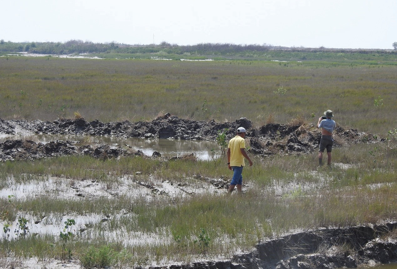
Figure 5-11 Mangrove initiative survey and site selection near Kyun Tharyar Village. (Photo by BANCA)
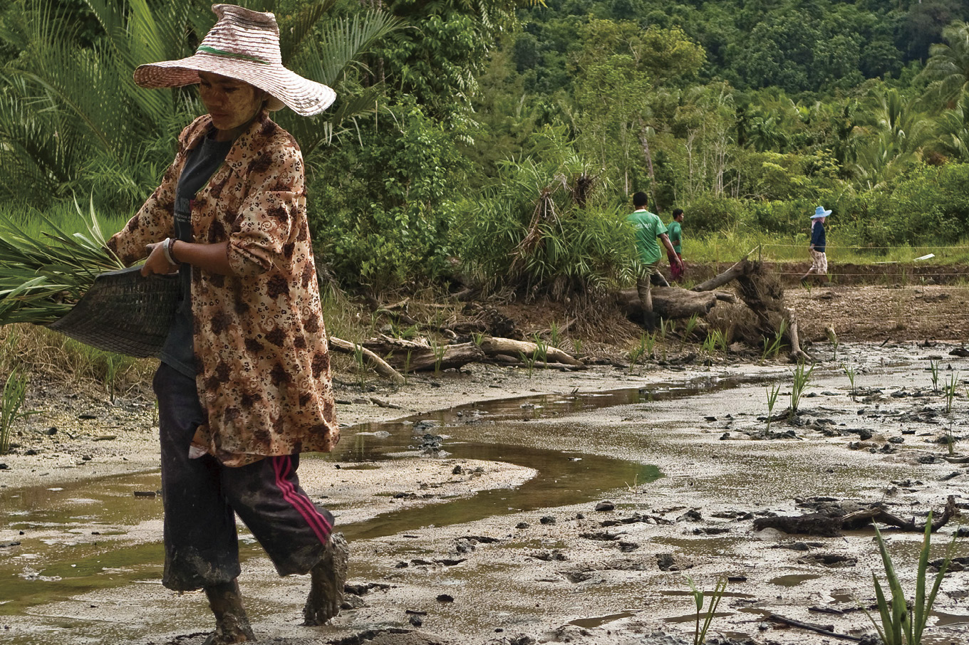
Figure 5-12 Nypa fruticans Planting. (Photo by Stephen Brooks)
Awareness raising and education. Local outreach (schools, media, local leaders) is needed to continually communicate biodiversity, ecosystem services (coastal protection, carbon, fisheries nurseries) and the cost of mangrove loss to the local community. It is also important to incorporate traditional and indigenous knowledge into the restoration design of wetland restoration projects (Figure 5-13).
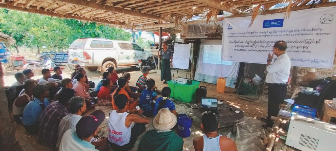
Figure 5-13 Community engagement with coastal villages in the Gulf of Mottama. (Photo by BANCA)
For these recommendations to work, they need to be backed by long-term, sustainable sources of financing. Wetland restoration projects frequently fail due to the short-term nature of these interventions. Whilst there are challenges, there is a need to move beyond short-term grant-funded projects to multiyear financing, possibly through trusts, national budget allocations, and public-private partnerships. As with elsewhere in Southeast Asia, India, Bangladesh and China, there has been increasing use of Payment for Ecosystem Services (PES), carbon and blue carbon markets, coastal protection financing and insurance schemes (where natural mangrove belts reduce damage costs) to generate the needed funds for mangrove and wetland restoration. In the long term, it is also important to continue to invest in capacity for government agencies, community organizations, and NGOs in restoration ecology, remote sensing and GIS, monitoring and project management. Mangrove conservation and restoration goals need to be aligned with major national policies for Myanmar (e.g., national forestry plan, climate policy, NDCs, disaster risk reduction plans, coastal zone management plans). This can be achieved by the establishing of measurable national targets (area restored, ecosystem service metrics, carbon stocks) with assigned responsibility and accountability.


References
Aung C. 2016. Mangrove species in Ayeyarwady Region. The second Japan-Myanmar joint Symposium Proceeding. Pathein University. 1(9): 291-298
Aung T T 2022. Mangroves in Myanmar // Das S C, Pullaiah T., Ashton E C. Mangroves: Biodiversity, Livelihoods and Conservation. Singapore: Springer
Aung T T, Than M M, Katsuhiro O, et al. 2011. Assessing the status of three mangrove species restored by the local community in the cyclone-affected area of the Ayeyarwady Delta, Myanmar. Wetlands Ecology and Management, 19(2): 195-208
Aye W M and Takeda S 2020. Conversion of abandoned paddy fields to productive land through mangrove restoration in Myanmar’s Ayeyarwady Delta. Paddy and Water Environment, 18(2): 417-429
Besset M, Anthony E J, Dussouillez P, et al. 2017. The impact of Cyclone Nargis on the Ayeyarwady (Irrawaddy) River delta shoreline and nearshore zone (Myanmar): Towards degraded delta resilience? Comptes Rendus. Géoscience, 349(6-7): 238-247
Burger A. 2018. Myanmar Mangrove Restoration Project First to Receive Verified Carbon Standard Certification. Global Warming is Real. https://globalwarmingisreal.com/2018/11/27/myanmar-mangrove-restoration-project-first-verified-carbon-standard-certification/?utm_source=chatgpt.com[2025-10-30]
De Alban J D T, Jamaludin J, de Wong D W, et al. 2020. Improved estimates of mangrove cover and change reveal catastrophic deforestation in Myanmar. Environmental Research Letters, 15(3): 034034
Estoque R C, Myint S W, Wang C, et al. 2018. Assessing environmental impacts and change in Myanmar’s mangrove ecosystem service value due to deforestation (2000-2014). Global Change Biology, 24(11): 5391-5410
FAO. 2010. The world’s mangroves 1980-2005. FAO forestry paper 153. Forest Resources Division, FAO. The Food and Agriculture Organisation of the United Nations, Rome: 77
FAO. 2016. Formulation and Operationalization of National Action Plan for Poverty Alleviation and Rural Development through Agriculture (NAPA): Coastal Resource Management. The Food and Agricultural Organization of United Nations
FAO. 2020. Survey Results of the Fishery Resources and Marine Ecosystems of Myanmar By the Research Vessel Dr Fridtjof Nansen. The Food and Agricultural Organization of United Nations
Hamilton S E, Casey D. 2016. Creation of a high spatio‐temporal resolution global database of continuous mangrove forest cover for the 21st century (CGMFC‐21). Global Ecology and Biogeography, 25(6): 729-738
MERN Myanmar. 2024. MERN and The Revolving Fund Mechanism. Myanmar Environment Rehabilitation-conservation Network. https://mernmyanmar.org/event/mern-and-the-revolving-fund-mechanism/[2025-10-30]
MFA. 2021. Interim Report for Sustainable Community Conservation Concession Agreement (CCCA) System and Upgrade Natural Mangrove Forests to Community Forests Through Protected Public Forest in Three Islands in Tanintharyi Region, Myanmar. Myanmar Forest Association and the Global Environmental Institute (GEI), P.R. China
MONREC. 2016. National Strategy and Action Plan (NSAP), National Coordination Body (NCB), Mangrove For The Future. IUCN, Ministry of Natural resources and Environmental Conservation
Myanmar Digital News. 2025. Sinku Island mangrove forest designated protected. Sinku Island mangrove forest designated protected. Myanmar Digital News
Otsuyama K, Shikada M, DasGupta R, et al. 2017. Degeneration of Mangroves in a Changing Policy Environment: Case Study of Ayeyarwady Delta, Myanmar. Participatory Mangrove Management in a Changing Climate: 173-186
Richards D R, Friess D A. 2016. Rates and drivers of mangrove deforestation in Southeast Asia, 2000-2012. Proceedings of the National Academy of Sciences, 113(2): 344-349
Soe-Win U, Tin-Zar-Ni-Win. 2021. Vegetative structure and zonal distribution of true mangroves in Shwe-Thaung-Yan coastal areas, Myanmar. Journal of Aquaculture and Marine Biology, 10(1): 33-39
Spalding M, Kainuma M, Collins L, et al. 2010. World Atlas of Mangroves. Earthscan /Routledge
Teutli-Hernández C, Herrera-Silveira J A, Cisneros-de la Cruz D J, et al. 2020. Mangrove ecological restoration guide: lessons learned. Mainstreaming Wetlands into the Climate Agenda: A multilevel approach (SWAMP). CIFOR/CINVESTAV-IPN/UNAM-Sisal/PMC: 42
Tin-Zar-Ni-Win, Soe-Win U. 2020. Species composition and zonal distribution of mangrove plants in the Myeik coastal areas of Myanmar. Journal of Aquaculture and Marine Biology, 9(2): 48-56
Tun A W, Tong X, Aye W N, et al. 2025. Stand structures and carbon storage potential of mangroves in Chaungkaphee Protected Public Forest, Tanintharyi Coastal Region, Myanmar. Forests, 16(3): 554
UN-REDD. 2019. National Programme Annual Report of Myanmar, January to December 2018. UNDP, FAO and UNEP
Win K S, Sasaki J. 2024. The Change detection of mangrove forests using deep learning with medium resolution satellite imagery: a case study of Wunbaik Mangrove Forest in Myanmar. Remote Sensing, 16(21): 4077
Win S, Towprayoon S, Chidthisong A 2020. Mangrove status, its ecosystem, and climate change in Myanmar: a study in Ayeyarwaddy Delta coastal zone. IOP Conference Series: Earth and Environmental Science 496: No. 1
Zöckler C, Aung C. 2019. The Mangroves of Myanmar // Gul B, Böer B, Khan M, et al. Sabkha Ecosystems. Tasks for Vegetation Science, Cham: Springer
Zöckler C, Moses S Lwin S T 2019. The importance of the Myeik mangroves and mudflats, Tanintharyi, Myanmar for migratory waders and other waterbirds. Wader Study, 126(2)


Chapter 6 Mangroves in the Philippines: Status, Conservation and Management
Authors:
• Rona Joy A. Loma, Zoological Society of London -Philippines
• Christian L. Montilijao, Zoological Society of London-Philippines
• Jurgenne H. Primavera, Zoological Society of London-Philippines


Abstract
The Philippines is a global hotspot for mangrove biodiversity, hosting 35-40 true mangrove species along its extensive coastline. Despite historical declines, recent satellite data show an increase in mangrove cover, reaching 284,798 hectares in 2020. Mangroves provide vital ecosystem services to Filipinos, including coastal protection, fisheries productivity, and climate resilience. However, mangroves continue to face significant threats from aquaculture and coastal development.
National and local policies have evolved to safeguard these ecosystems, yet fragmented governance and weak enforcement hinder effective implementation. Rehabilitation efforts have often targeted ecologically unsuitable sites, resulting in low survival rates due to site-species mismatch. Brackish water fishponds, originally mangrove forests, offer the most viable rehabilitation potential but are accompanied by complex land tenure issues.
Science-based and community-driven rehabilitation projects have shown promise, emphasizing the need for inclusive governance and empirical research. The absence of national coastal greenbelt legislation and harmonized restoration laws remains a significant policy gap. To address these challenges, it is recommended to revert abandoned fishponds to mangroves, pass the National Coastal Greenbelt Act, integrate nature-based engineering solutions, harmonize legal frameworks, and strengthen community engagement to ensure sustainable coastal ecosystem restoration and climate resilience.


6.1 Status of the Philippine Mangroves
The Philippines, an archipelagic nation with a coastline of 36,289 km, stands as a global hotspot for mangrove biodiversity (Garcia et al., 2013). In the early 1900s, the nation’s mangrove forest covered about 500,000 hectares (Long and Giri, 2011; Primavera, 2000). However, by the 1990s, this area had drastically decreased to 120,000 hectares, mainly as a result of coastal development and conversion to brackish water fishponds for aquaculture (Primavera, 2000, 2004). The Department of Environment and Natural Resources (DENR) reported 311,400 hectares in 2020 (DENR-FMB, 2022), but satellite analyses showed 294,026 hectares in 2000, 230,597 hectares in 2010, 264,818 hectares in 2019 (Baloloy et al., 2023), and 284,798 hectares in 2020 (Bunting et al., 2022) (Figure 6-1, Figure 6-2). In 2023, DENR and the Philippine Space Agency (PhilSA-DENR, 2023) reported a substantially higher mangrove extent of 328,455.7 hectares, reflecting differences in data sources, mapping methodologies, and classification schemes.
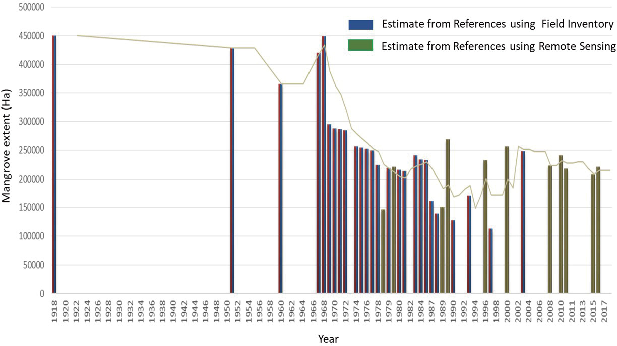
Figure 6-1 Historical and current mangrove extent estimates in the Philippines from various Sources. (Baloloy and Blanco, 2021)
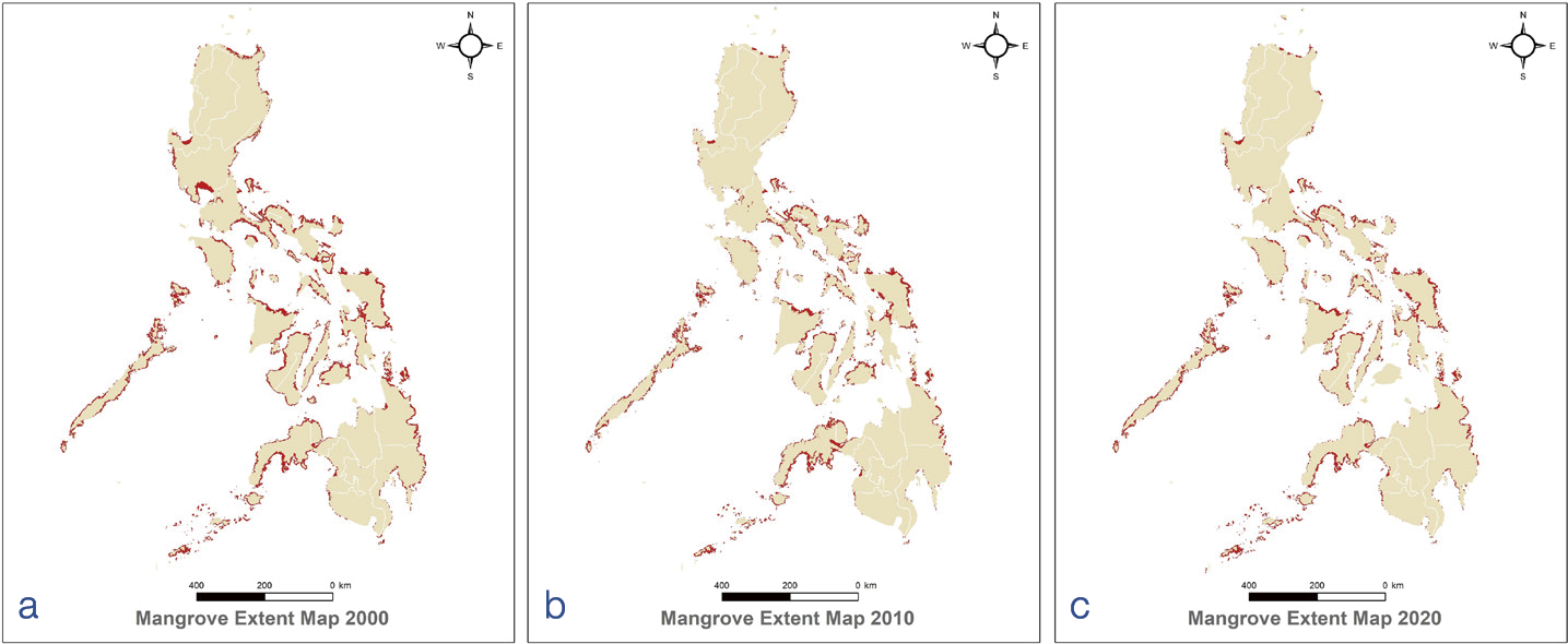
Figure 6-2 Satellite-based estimates show mangrove extents of 294,026 hectares in 2000 (a), 230,597 hectares in 2010 (b), and 264,818 hectares in 2019 (c). (Baloloy et al., 2023)
The Philippine mangroves support one of the highest diversities worldwide, hosting 35-40 species of the global 60-70 true mangrove species (Primavera et al., 2004; Garcia et al., 2013). Primavera et al. (2025) reported 33 mangrove species (excluding hybrids) from 107 sites across 39 provinces (Figure 6-3), representing 59% of the country’s 66 coastal provinces. The five most common species are Sonneratia alba, Rhizophora apiculata, R. mucronata, R. stylosa, and Avicennia marina, while the least common include Kandelia candel, Acanthus volubilis, and S. ovata. Provinces such as Batangas, Aklan, Cebu, Misamis Occidental, Catanduanes, and Davao Oriental host over 29 species, highlighting regional biodiversity hotspots (Primavera et al., 2025).
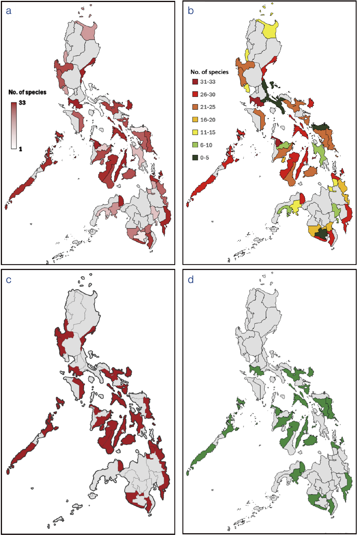
Figure 6-3 Mangrove species heat map (a); species richness range map (b); provinces with threatened mangrove species (c); and provinces with Camptostemon philippinensis (d) (Source: Primavera et al., 2025; Agduma and Cao, 2023; Amores et al., 2024, Bayani et al., 2022; Baylon et al., 2025; Bitantos et al., 2017; Camacho et al., 2011; Cañizares and Seronay, 2016; Cano-Mangaoang and Flores, 2019; Dangan-Galon et al., 2016; Emeterio et al., 2024; Goloran et al., 2020; Habagat et al., 2019; Jugado et al., 2024; Brillantes et al., 2025; Lillo et al., 2022, 2024; Masagca, 2008; Masagca and Trinidad, 2021; Middeljans, 2015; Patindol and Casas, 2019; Rotaquio et al., 2007; Salmo III, et al., 2017)
This aligns with recent findings (Brillantes et al., 2025), in which the dominant mangrove species throughout the archipelago include Avicennia marina, Sonneratia alba, Rhizophora apiculata, R. mucronata, R. stylosa, and Nypa fruticans. Endangered species like Camptostemon philippinensis and A. rumphiana are present, as noted by the IUCN Red List (Duke et al., 2010).
Inventories consistently identify 33-35 mangrove species nationwide, including hybrids such as Rhizophora × lamarckii. Regional diversity varies; for example, Bohol hosts 4–29 species (Middeljans, 2015) while Sibuyan Island in Romblon recorded 14 species (Jugado et al., 2024). In Barangay Imelda, Dinagat Island, 10 species were observed, dominated by five from the family Rhizophoraceae (Cañizares and Seronay, 2016).
Certain provinces exhibit species dominance correlated with habitat: Rhizophora species thrive in muddy substrates, while Avicennia species prefer sandy or higher-salinity areas (Cañizares and Seronay, 2016). The 72-hectares Bugtongbato-Naisud mangrove patch in Ibajay, Aklan, supports 27 species, illustrating remarkable local diversity (Primavera et al., 2004; Primavera and Lee, 2015).
Luzon Island shows rich mangrove diversity with significant ecological roles. Masagca (2008) documented 37 vascular flora species on Catanduanes Island, including 13 major, 10 minor, and 14 associated mangrove species. Dominant genera included Avicennia (A. marina, A. officinalis), Bruguiera, Ceriops, Sonneratia, and Rhizophora, with abundant Nypa fruticans playing a critical ecological role. Southern Luzon’s species richness varies by habitat contiguity, enhancing recruitment and growth (Salmo III et al., 2017). Quezon province and other southern Luzon areas link mangrove species diversity primarily involving Rhizophora, Avicennia, and Sonneratia species to essential food production and coastal protection functions (Salmo III et al., 2017).
In the Visayas, Tacloban City in Leyte Province features 23 species from 12 families and 15 genera, dominated by the families Rhizophoraceae and Acanthaceae. Rhizophora apiculata leads in abundance, followed by Sonneratia alba, Avicennia officinalis, A. marina, and R. mucronata. Four species are IUCN-listed as threatened: Camptostemon philippinensis (Endangered), A. rumphiana (Vulnerable), and Aegiceras floridum and Ceriops decandra (Near Threatened) (Duke et al., 2010). However, Ceriops populations in the Philippines formerly identified as C. decandra are now recognized as Ceriops zippeliana (Primavera, 2022).


6.2 Current Status of Mangrove Protection and Management


6.2.1 National and local policies on mangrove protection and restoration
The Philippines has legal frameworks (Table 6-1) focused on protecting mangrove habitats, although enforcement effectiveness varies across the country. These frameworks address ecological, economic, and governance needs. Presidential Decree No. 705 (Revised Forestry Code of 1975) governs resources, including mangrove resources, prohibiting any illegal cutting while mandating sustainable forest management. Presidential Proclamation No. 2152 (1981) declares specific mangrove swamps as Mangrove Forest Reserves, thus emphasizing the overall ecosystem services provided by mangroves. Republic Act No. 9147 (Wildlife Resources Conservation and Protection Act of 2001) recognizes mangroves as essential wildlife habitat, thus contributing to animal habitat conservation to support biodiversity. Republic Act No. 7161 (1991) strictly prohibits the cutting or collecting of mangrove species.
Table 6-1 The Philippine mangrove laws
| Policy | Year | Salient Feature |
| Presidential Decree (PD) 705 (Revised Forestry Code) | 1975 | Mangrove strips in islands providing protection from high winds, typhoons shall not be alienated |
| PD 1067 (Water Code of the Philippines) | 1976 | Prohibits construction and the placement of floating objects or structures within 20 m of riverbanks/seashores |
| PD 2151 and 2152 | 1981 | Declaration of 4,326 hectares of mangrove as wilderness areas and 74,767 hectares (including entire Palawan Province) as forest reserves |
| MNR Administrative Order 42 | 1986 | Expansion of mangrove belt in storm surge, typhoon areas; 50-100 m for shorelines, 20-50 m for riverbanks |
| DENR Memorandum Order 3 | 1991 | Guidelines for FLA cancellation; mangrove areas released to BFAR but unutilized or abandoned 5 years from release for reversion to forest land under DENR |
| RA 7160 (Local Government Code of the Philippines) | 1991 | Devolved management of community forestry projects, communal forests <500 hectares, enforcement of community-based laws |
| RA 7161 | 1991 | Absolute ban on cutting or gathering of mangroves |
| RA 8550 (Philippine Fisheries Code), Amended by RA 10654 | 1998, 2015 | Declares mangrove areas for conservation and fishery purposes; Regulates aquaculture activities within mangrove areas; Disallows the issuance of new fishpond leases in designated mangrove reserves |
| DENR AO 15 | 1990 | Policies on communal forests, plantations, tenure through Mangrove Stewardship Contracts; revert abandoned ponds to forest; prohibit cutting of trees in FLA areas; prohibit further conversion of thickly vegetated areas |
| RA 7586 (National Integrated Protected Areas System Act), amended by RA 11038 | 1992, 2018 (amended) | Mangroves ecosystems protected when included within declared NIPAS/ E-NIPAS protected areas |
| RA 9147 (Wildlife Resources Conservation and Protection Act) | 2001 | Classifies mangroves as vital habitats for wildlife |
| Fisheries AO 197-1 (Revised Rules and Regulations Governing the Lease of Public Lands for Fishpond and Mangrove-Friendly Aquaculture) | 2012 | Introduced Aquasilviculture Stewardship Contract (ASC) as a lease mechanism for mangrove-friendly aquaculture |
| Senate Bill No. 639 (National Mangrove Protection and Preservation Act) (proposed, 18th Congress) | 2019 | Seeks to promote preservation, reforestation, and sustainable development of mangrove areas |
| House Bill 7767 (Integrated Coastal Management Act) (passed by the House) | 2023 | National Coastal Greenbelt Action Plan; mangrove conservation in the national strategy; allocate funding |
| RA 11995 Philippine Ecosystem and Natural Capital Accounting System (PENCAS) Act | 2024 | Mangroves are recognized as a natural capital and should be integrated into national plans and budgets |
| Fisheries AO 197-2 (Amended Rules and Regulations Governing the Lease of Public Lands for Fishpond and Mangrove-Friendly Aquaculture) | 2024 | Provisions on abandoned, undeveloped and underutilized fishponds for salt production, aquaculture |
| DILG Memorandum Circular No 2025-066 | 2025 | Directs local government units to establish coastal greenbelt areas, mandate restoration and protection of mangroves |
Additionally, the amended Fisheries Code (RA 10654 of 2015) strengthens mangrove protection by prohibiting the conversion of mangrove areas for aquaculture and requiring the reversion of abandoned fishponds to their original mangrove conditions. In 2024, Republic Act No. 11995 or the Philippine Ecosystem and Natural Capital Accounting System (PENCAS) Act was passed, recognizing mangroves as a natural capital and requiring their integration into national plans and budgets.
Despite these comprehensive legal provisions, institutional coordination remains a significant challenge. Overlapping mandates among key agencies such as the Department of Environment and Natural Resources (DENR) through its Forest Management Bureau (FMB) and Biodiversity Management Bureau (BMB), the Department of Agriculture’s Bureau of Fisheries and Aquatic Resources (BFAR), and various local government units (LGUs), often result in fragmented governance and inconsistent implementation. This fragmentation hampers the full realization of mangrove conservation goals, particularly in areas where jurisdictional boundaries and resource limitations complicate enforcement.
Local government units at the provincial, municipal, and city levels also implement policies for the conservation and protection of mangrove ecosystems. The issuance of the Department of Interior and Local Government (DILG) Memorandum Circular No. 2025-066 provides the institutional framework for LGUs to prioritize the establishment and maintenance of coastal greenbelts as a strategic approach to climate resilience and biodiversity conservation.
Prior to the issuance of the DILG Memorandum Circular, the Province of Negros Occidental formalized its coastal greenbelt initiative, the first of its kind in the Philippines, through Executive Order No. 22-50, which declared a network of coastal greenbelt zones, and Executive Order No. 22-51, which established a network of conservation areas and coastal greenbelt zones. Similarly, the Davao Regional Development Council passed Resolution No. 132 in 2022, supporting the formulation of a regional coastal greenbelt management plan (Sierra, 2023). The Province of Bataan enacted Provincial Ordinance No. 03, Series of 2025, to establish a network of local coastal greenbelt zones. Municipalities and cities within these provinces have each adopted their own coastal greenbelt ordinances.


6.2.2 Status of mangrove ecological management
At the national level, mangrove conservation has been integrated into the core strategies of the National Integrated Protected Areas System (NIPAS) and Expanded NIPAS. Several key NIPAS sites feature extensive mangrove ecosystems, including the Siargao Island Protected Landscape and Seascape, which contains 4,871 hectares of mangroves in the municipality of Del Carmen; Bongsanglay Natural Park in Masbate, with 168 hectares (Primavera and Savaris, 2022); and Sagay Marine Reserve in Negros Occidental, with 500 hectares (Manejar et al., 2019).
Strengthening mangrove protection at the local government level can be achieved through the establishment of Marine Protected Areas (MPAs) that include mangrove ecosystems within their designated protection zones, or by declaring ecoparks that integrate mangrove conservation. These protected areas vary in size, ranging from 4 hectares to over 1,000 hectares. Several examples of locally declared MPAs that encompass mangrove habitats include Sinandigan Marine Sanctuary in Ubay, Bohol covering 40 hectares; Ivisan Fish Sanctuary and Reserve in Capiz with 95.57 hectares; Siruma Local Mangrove Conservation Area in Camarines Sur with 197 hectares; and Prieto Diaz Mangrove Ecosystem in Sorsogon (Figure 6-4) with 1,034 hectares.
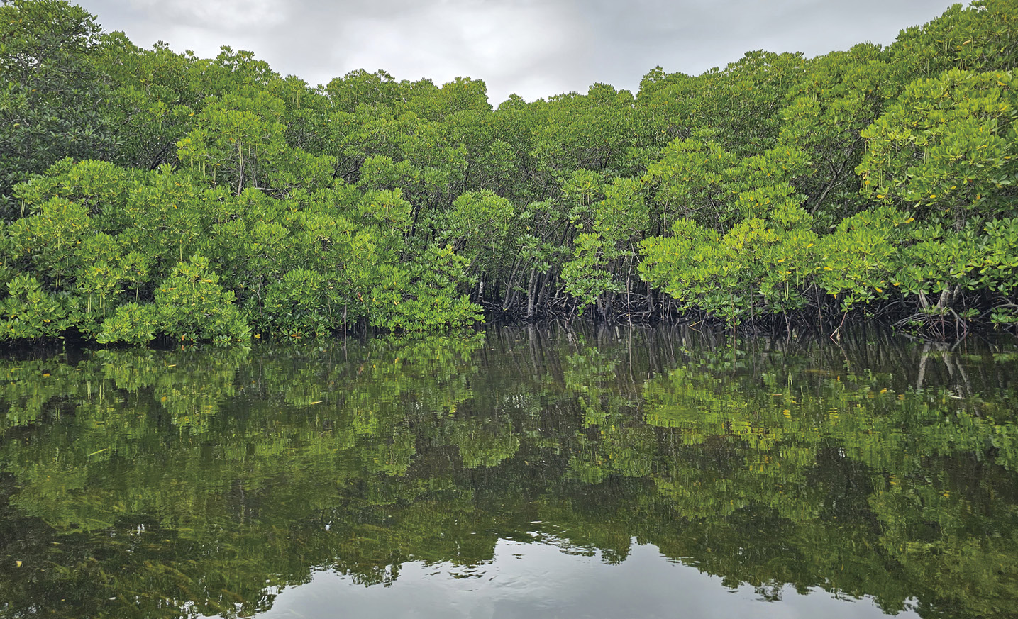
Figure 6-4 Prieto Diaz, Sorsogon (Photo by ZSL/C.L. Montilijao)
Mangrove ecotourism parks serve as effective instruments for protecting natural resources through sustainable tourism practices. These parks not only function as educational hubs for students, researchers, and the general public, but also help promote and sustain livelihood opportunities (Primavera and Savaris, 2022). Among the most recognized mangrove ecoparks—celebrated for their biodiversity, facilities, and recognition through the Best Mangrove Award (BMA) are: Del Carmen in Siargao Island; Balanga City Wetland and Nature Park in Bataan; Silonay Mangrove Conservation Ecopark in Oriental Mindoro; Suyac Island in Negros Occidental; Katunggan It Ibajay (KII) Mangrove Ecopark in Aklan (Figure 6-5); and Leganes Integrated Katunggan Ecopark (LIKE) in Iloilo.
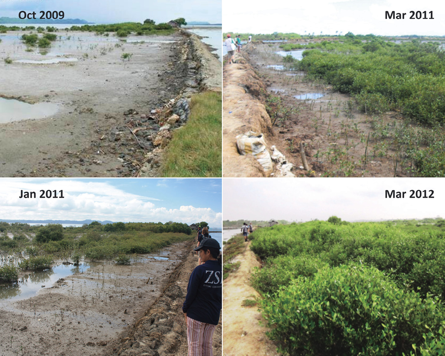
Figure 6-5 Assisted natural regeneration of mangroves through active planting of seedlings and wildlings is required in areas of extreme historical deforestation with highly dependent communities that have low food security and are vulnerable to typhoons; shown here is a former fishpond in Leganes, Iloilo successfully reverted to mangroves. (Photos by ZSL-Philippines)
Recognition and incentive mechanisms further reinforce conservation efforts. The Best Mangrove Award is a flagship initiative of the Zoological Society of London-Philippines, launched in 2017 under the MPA Support Network’s biennial event, Para El Mar (For the Sea): MPA Awards and Recognition. The BMA serves as a platform to recognize and provide incentives, for local governments and communities for mangrove conservation practices. From 2019 to 2025, the award has spotlighted outstanding efforts across the country. A total of 49 unique sites, covering an aggregate area of over 10,000 hectares, have participated. Of these, 32 are ecoparks and 17 are MPAs, demonstrating that protecting existing mangroves not only safeguards biodiversity but also creates meaningful opportunities for environmental education, community engagement, and raising public awareness.
At the global scale, the importance of the Philippine mangroves is emphasized by their designation under the Ramsar Convention on Wetlands of International Importance. Seven of the 10 declared Philippine Ramsar sites host mangrove forests, namely: Negros Occidental Coastal Wetlands Conservation Area; Olango Island Wildlife Sanctuary in Cebu; Puerto Princesa Subterranean River National Park in Palawan; Sasmuan Coastal Wetlands in Pampanga; Del Carmen Mangrove Reserve in Siargao Island Protected Landscape and Seascape; Sibugay Wetland Nature Reserve in Zamboanga Sibugay; and Las Piñas-Parañaque Wetland Park in Metro Manila (Ramsar, n.d.).


6.2.3 Status of mangrove ecological restoration
Mangrove ecosystems across the Philippine archipelago face increasing threats from habitat degradation, aquaculture expansion, and various human activities, intensifying the urgency for their protection (Primavera, 2000; Primavera et al., 2011). These ecosystems are particularly vital to the Filipino population, with approximately 60% residing along the country’s extensive coastline (IUCN, 2011; International Coral Reef Initiative, 2024).
The importance of mangrove conservation has grown due to its critical role in mitigating coastal hazards. Two primary strategies for mangrove rehabilitation in the Philippines are seafront planting and fishpond reversion (Primavera et al., 2012). However, many reforestation efforts have focused on areas below mean sea level, such as tidal flats and seagrass beds, primarily because these are publicly accessible and pose fewer land ownership issues. Unfortunately, these zones are suboptimal for mangrove growth, resulting in low survival rates of just 10%-20% (Primavera and Esteban, 2008; Samson and Rollon, 2008). In addition, ecologically mismatched Rhizophora species are often planted for convenience, even in habitats dominated by Avicennia and Sonneratia (Primavera and Esteban, 2008).
Despite legislation mandating the reversion of abandoned or underutilized ponds to mangrove forests, enforcement remains weak, and complex land tenure issues continue to constrain rehabilitation efforts (Primavera et al., 2011, 2013). These challenges are compounded by an oversupply of local and international funding for mangrove rehabilitation through programs such as the Philippine National Greening Program (NGP). The combination of limited site availability and weak law enforcement has led to the unintended conversion of seagrass beds into mangrove areas (Primavera et al., 2019; Lee et al., 2019). The NGP has faced challenges due to unrealistic targets and inadequate planning, resulting in limited forest cover gains and poor seedling survival (Commission on Audit, 2019). A shift toward community-centered approaches is essential to improve outcomes and ensure long-term success (Camacho et al., 2020; COA Report, 2019).
Although government efforts like the Joint DENR Technical Bulletin No. 2017-01 (guidelines on enrichment planting for biodiversity and coastal resilience) aim to address these concerns, many rehabilitation programs continue to suffer from a lack of science-based protocols and need thorough evaluation.
In response to these challenges, national policy frameworks have begun to align mangrove conservation with broader environmental and development goals. The Philippine Biodiversity Strategy and Action Plan (PBSAP) 2015-2028 sets explicit targets for mangrove conservation aligned with global commitments: no net loss of mangrove areas by 2028, improved ecosystem services, and restoration of degraded mangrove habitats (Targets 3, 7, and 14). Building on this, the recent PBSAP 2024-2040 strengthens mangrove conservation as a national priority and ensures continued alignment with global biodiversity and climate goals beyond 2028. Complementing this is the proposed National Blue Carbon Action Partnership Roadmap (2025-2040), which integrates mangrove and seagrass conservation into climate and development policies, promotes science-based management, mobilizes financing, and empowers communities, positioning the Philippines as a leader in blue carbon conservation and climate resilience.
At the implementation level, the Community-Based Mangrove Rehabilitation Project of the Zoological Society of London-Philippines highlights the success of combining ecological knowledge with community engagement, involving over 4,100 participants to raise and plant nearly 100,000 seedlings on 20 hectares of seafront and abandoned ponds over 4 years (Figure 6-6) (Primavera et al., 2012). For 16 years now, ZSL-Philippines has facilitated the rehabilitation of 152 hectares with over 1 million seedlings and the protection of 8,000 hectares of mangrove forests in the country. These community-driven initiatives are essential for sustainable management, strengthening local stewardship and resilience amid climate change and disasters (Savaris et al., 2021). Supporting this, spatial analyses document mangrove cover increases in areas like Palawan due to rehabilitation paired with community involvement (Cayetano et al., 2023).
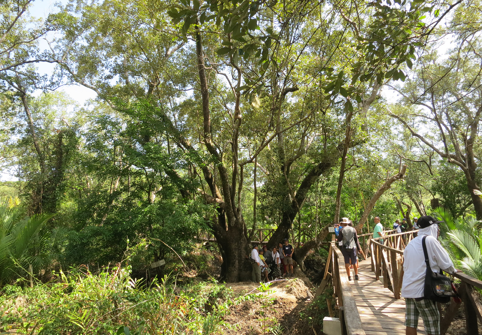
Figure 6-6 Ecoparks like the ZSL-supported Katunggan It Ibajay (KII) in Aklan promote education, mangrove conservation, and sustainable livelihoods. (Photo by ZSL Philippines)


6.3 Gap Analysis and Recommendations for Conservation and Management


6.3.1 Threats to the Philippine mangroves
Globally, mangrove degradation is driven mainly by human activities, particularly overexploitation and land conversion. In the Philippines, brackish water ponds date back to 1863; however, most were built between the 1950s and 1970s in intertidal zones naturally occupied by mangroves. This development reinforced the misconception of mangroves as unproductive wastelands. The rapid expansion of milkfish ponds in the 1950s-1960s at 4,000 to 5,000 hectares annually—led to a dramatic decline to about 120,000 hectares by the 1990s (a loss of over 70%) (Siddall et al., 1985; Primavera et al., 2013). Subsequent rehabilitation and protection efforts have helped the cover recover to 284,798 hectares by 2020 (Bunting et al., 2022).
Currently, many of these fishponds are abandoned—estimated in the thousands of hectares—mainly due to bank breaches and low productivity in seafront ponds (Samson and Rollon, 2008; Primavera et al., 2012, 2013; Duncan et al., 2016). This abandonment could have presented a major opportunity for mangrove reversion. However, the issuance of Fisheries Administrative Order No. 197-1 in 2012 institutionalized aquasilviculture, allowing the use of public lands for mangrove-friendly aquaculture, even in areas that are supposed to be reverted to mangroves, as mandated by the Philippine Fisheries Code. Compounding this issue is the passage of Republic Act No. 11985 (Philippine Salt Industry Development Act) in 2024, which aims to revitalize the country’s salt industry by designating public lands (including abandoned fishponds) as salt production areas. This further hinders the reversion of these ponds back to mangroves.
Furthermore, various coastal road developments in the Philippines, such as in Surigao del Sur, Cebu City, Davao City, and Sorsogon City, have sparked concerns due to the clearance of coastal mangroves for highway construction. Such cleared areas should have been allocated as coastal greenbelt zones, which serve as natural buffers that protect coastal communities from storm surges and tsunamis during typhoons and earthquakes.
All these threats and issues are exacerbated by the weak enforcement of existing environmental laws, particularly Republic Act No. 7161, which explicitly prohibits the cutting of mangroves. Without strict implementation and monitoring, even well-intentioned policies risk undermining mangrove conservation and rehabilitation efforts.


6.3.2 Gaps in mangrove conservation
Mangrove rehabilitation efforts have often targeted ecologically unsuitable areas, such as seafront zones with tidal flats and seagrass beds, due to fewer land tenure conflicts. However, this has resulted in low survival rates (Figure 6-7) (Primavera et al., 2012). For example, in the Camarines Sur mangrove planting campaign aiming for a world record by planting 1 million propagules (Dematera, 2012), survival rates remained well below expectations. This is largely due to widespread planting of inappropriate mangrove species in unsuitable locations, which poses a significant gap affecting both government and private sector rehabilitation efforts (Primavera et al., 2012; Wodehouse and Rayment, 2019).
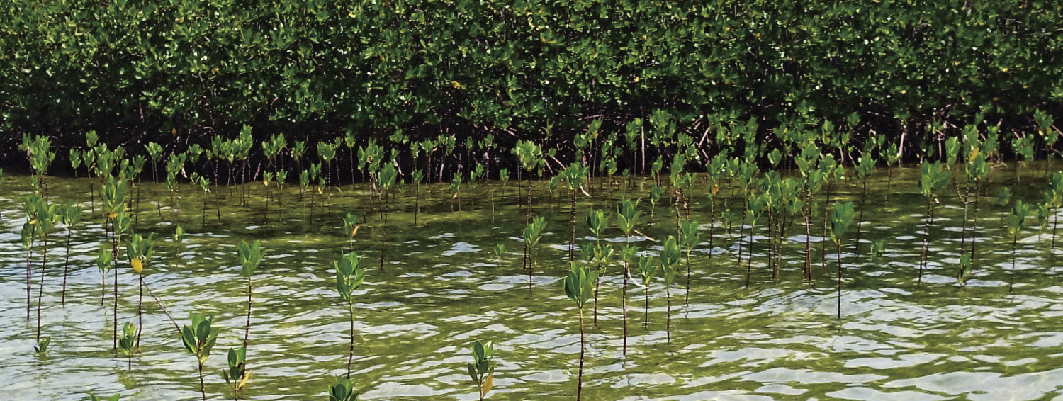
Figure 6-7 A key challenge in the Philippines is the failure to restore abandoned ponds to mangroves, often resulting in misguided planting in unsuitable areas like seagrass beds and tidal flats. (Photo by ZSL-Philippines)
In contrast, brackish water fishponds are considered most appropriate for mangrove rehabilitation, as they were originally mangrove forests. However, reverting them is socio-politically complex due to land tenure issues. Fishponds fall into three categories: public lands under the Fishpond Lease Agreement (FLA), privately titled lands, and tax-declared areas without formal titles (Primavera et al., 2013). Under the FLA system, DENR grants public lands for aquaculture, with BFAR providing technical support. Importantly, a tax declaration does not grant ownership or authorize conversion of mangrove areas. Legal development requires a valid FLA or equivalent permit, as mandated by Presidential Decree No. 720 and Republic Act 8550.
FLA areas remain part of the public domain unless specific conditions—such as abandonment, underutilization, or underdevelopment—are violated, as defined by RA 8550, amended by RA 10654. These laws provide a legal basis for reverting such areas to their original mangrove state. A 2013 study by Primavera et al. reported that FLA areas in Western Visayas total 14,324.79 hectares, representing 25% of the region’s total fishpond area. Titled fishpond lots cover 24,893.21 hectares, while those with tax declarations account for 17,787.68 hectares. Additionally, a 2012 study by the same authors identified 259.8 hectares of undocumented fishponds across six selected sites in the region. Despite the laws mandating reversion of abandoned fishponds, enforcement has been slow and inconsistent, with coordination issues, resistance, and procedural delays.
Science-based approaches to mangrove rehabilitation in the Philippines are available but ineffective due to poor enforcement of protection laws. Empirical research remains limited regardingthe biological connectivity among mangroves, seagrass beds, intertidal flats, sediment communities, and coral reefs - ecosystems that collectively sustain fish and shellfish populations (Abesamis, 2018). This gap impedes ecosystem-based management. Additionally, comprehensive valuation studies of mangrove and coastal wetland services are scarce, weakening advocacy against development-driven habitat conversion (Friess et al., 2019).
Moreover, a significant policy gap persists in the Philippines due to the absence of a comprehensive National Coastal Greenbelt Act dedicated to the protection and conservation of coastal wetlands—including mangroves, seagrasses, and beach forests—which are vital for community resilience and climate adaptation. More than a decade has passed since the Coastal Greenbelt Bill was introduced in 2014. It has not been acted on by Congress due to a lack of urgency, despite an average of 20 typhoons annually that cause thousands of deaths and millions of dollars in damage.


6.3.3 Recommendations
Addressing these interconnected gaps demands concerted action to advance empirical research, legal reforms, enforcement capacity, governance integration, community engagement, and innovative engineering solutions to ensure the sustainable protection and rehabilitation of the Philippines’ critical coastal ecosystems. Specifically, the following are recommended to ensure sustainable management and conservation of the Philippine mangroves:
1) Reverting abandoned fishponds to mangrove ecosystems is vital in addressing mangrove degradation and climate change. This rehabilitation supports the Philippines’ conservation targets by promoting biodiversity, enhancing coastal protection, and sustaining fisheries productivity, while also aligning with global environmental goals. Importantly, restoring these areas delivers significant benefits to local communities by providing ecosystem services that strengthen coastal defenses and reduce the impacts of storm surges, flooding, and erosion. Additionally, mangroves serve as vital fish nurseries, boosting fisheries productivity and supporting food security and livelihoods for small-scale fishers. Restored mangroves can further stimulate eco-tourism, offering alternative income sources. Overall, improved environmental conditions create healthier habitats, enhancing community resilience and well-being.
2) With the Philippines experiencing an average of 20 typhoons each year, which are increasingly intensified by climate change, there is an urgent need to expedite the passage of the National Coastal Greenbelt Act as a stand-alone law. While provisions related to coastal greenbelts are currently embedded in House Bill No. 7767, the Integrated Coastal Management Act, a dedicated law would ensure more focused implementation and protection.
Promote the integration of nature-based solutions, such as green-gray engineering interventions, in mangrove rehabilitation particularly in high-energy coastal zones. The breakwaters in Pedada, Ajuy, Iloilo (Figure 6-8), initiated by ZSL-Philippines, demonstrate how temporary rock structures can facilitate sediment accretion and stabilize degraded shorelines, creating favorable conditions for mangrove establishment. Over time, sedimentation rates reached up to 50 cm/a, enabling successful planting and natural recruitment of Sonneratia alba and Avicennia marina, with survival rates as high as 73.6% (Furukawa et al., 2019). By 2023, the mangrove stand showed strong structural development, with a total basal area of 28.36 m2/hectares and a density of 9,333 stems/hectares (Primavera et al., 2024).
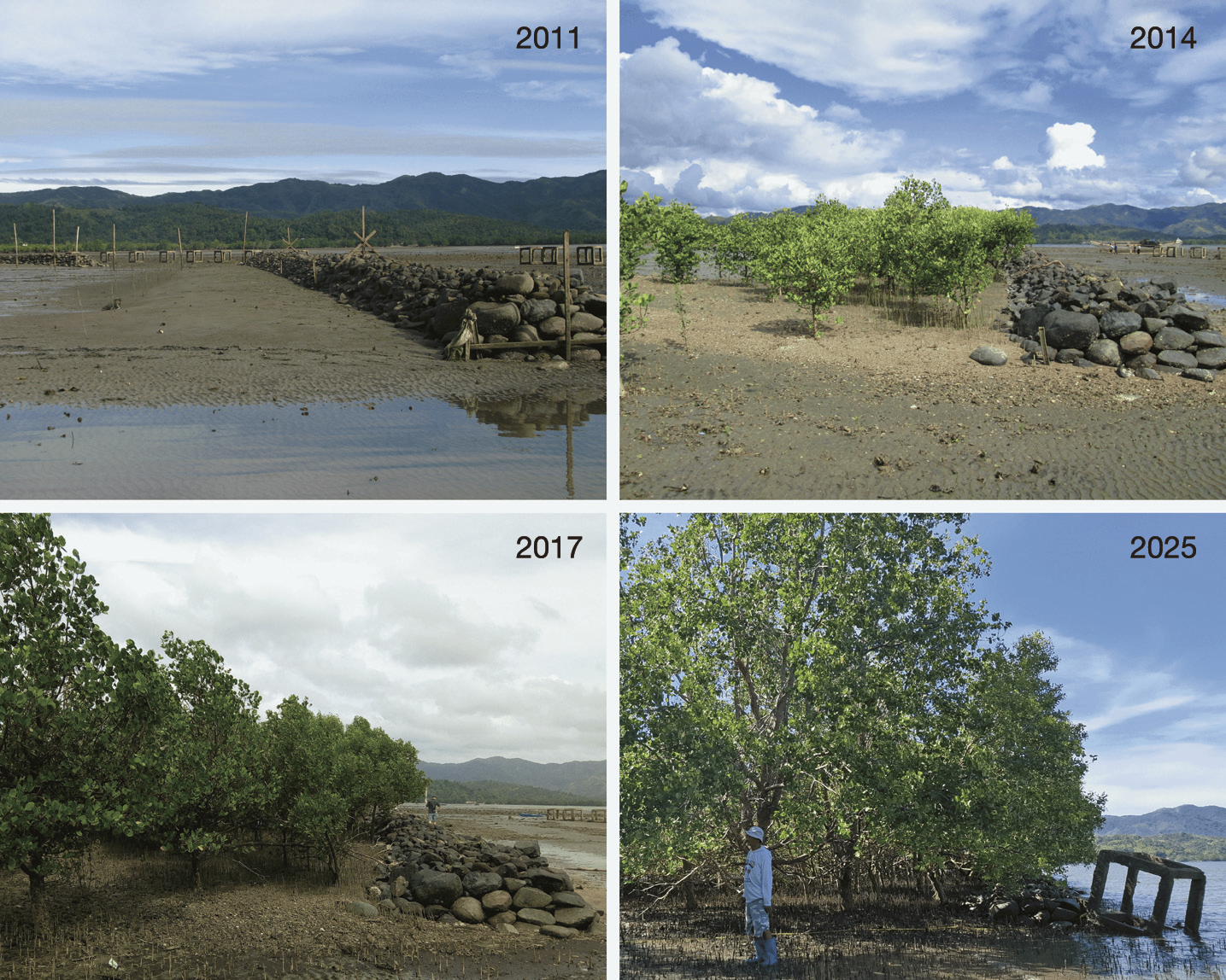
Figure 6-8 The breakwaters in Pedada, Ajuy, Iloilo show how temporary rock structures can stabilize shorelines and support mangrove growth. (Photos by ZSL Philippines)
3) Address the lack of harmonization among existing laws—particularly those concerning the reversion of abandoned fishponds—by establishing a unified legal and institutional framework for coastal wetland rehabilitation. Regulatory fragmentation, including overlapping mandates, fragmented responsibilities, and inadequate data sharing among agencies, has created bottlenecks that hinder efficient reversion and rehabilitation efforts. A coordinated approach is essential to streamline rehabilitation initiatives, improve inter-agency collaboration, and enhance the effectiveness of conservation programs aimed at protecting and rehabilitating degraded coastal ecosystems.
4) Prioritize mangrove conservation over the establishment of salt farms, coastal roads, seawalls and other infrastructure that will require mangrove clearance.
5) Strengthen community engagement in mangrove conservation. Actively involving all stakeholders, especially local communities, is essential for the long-term success of mangrove rehabilitation. This includes inclusive decision-making, capacity building, and livelihood support to foster ownership and stewardship. Community-driven initiatives enhance monitoring, enforcement, and ecological outcomes by aligning rehabilitation efforts with local knowledge and priorities.


References
Abesamis R A. 2018. Connectivity of coral reefs and other nearshore habitats: implications for marine resource management in the Philippines. Transactions of the National Academy of Science and Technology Philippines, 40(2): 2
Agduma A, Cao K. 2023. Species richness, extent and potential threats to mangroves of Sarangani Bay Protected Seascape, Philippines. Biodiversity Data Journal, 11: e100050
Amores A E, Maxey E A, Aguilar S N A, et al. 2024. Distribution of Mangrove Species Diversity Along Environmental Variables Using Canonical Correspondence Analysis in Brgy. Penaplata, Samal City, Philippines. American Journal of Life Sciences, 12(5): 86-94
Baloloy A B, Blanco A C. 2021. Historical and Current Distribution of Mangroves in the Philippines: Spatio-temporal Analysis // Salmo S G III, Gevana D T, Halun S Z B, et al. Revisiting Learnings and Envisioning Philippine Mangroves in 2030: Proceedings of the 1st National State of the Mangrove Summit. Department of Environment and Natural Resources - Biodiversity Management Bureau and Conservation International Philippines
Baloloy A B, Blanco A C, Martinez K P, et al. 2023. Mapping Multi-decadal Mangrove Forest Change in the Philippines: Vegetation Extent and Impacts of Anthropogenic and Climate-Related Factors // Leal Filho W, Kovaleva M, Alves F, et al. Climate Change Strategies: Handling the Challenges of Adapting to a Changing Climate. Climate Change Management. Cham: Springer
Baloloy A B, Blanco A C, Sta Ana R R C, et al. 2020. Development and application of a new mangrove vegetation index (MVI) for rapid and accurate mangrove mapping. ISPRS Journal of Photogrammetry and Remote Sensing, 166: 95-117
Bayani G, Pacris Jr F, Baloloy M. 2022. Diversity and habitat assessment of mangrove forests in Gonzaga, Cagayan. Journal of Biodiversity and Environmental Sciences, 20(2): 94-105
Baylon R, Biene E, Ligue N, et al. 2025. Diversity of mangrove species and environmental management practices in Sta. Cruz, Davao del Sur, the Philippines. Philippine Journal of Science, 154. https://doi.org/10.56899/154.03.08[2025-10-30]
Biodiversity Management Bureau, Department of Environment and Natural Resources. 2016. Philippine Biodiversity Strategy and Action Plan (2015-2028): Bringing resilience to Filipino communities. Quezon City, Philippines: BMBDENR; United Nations Development Programme–Global Environment Facility; Foundation for the Philippine Environment
Biodiversity Management Bureau, Department of Environment and Natural Resources. 2025. Philippine Biodiversity Strategy and Action Plan (2024-2040). Quezon City, Philippines: DENR–BMB
Bitantos B L, Abucay M D, Dacula J A, et al. 2017. Mangrove in the grove: diversity, species composition, and habitat in Pamintayan, Dumanquillas Bay, Philippines. AES Bioflux, 9(3): 183-192
Brillantes S A, Lagumbay I C, Balindo D A. 2025. Composition, diversity, and vegetative structure of mangroves in Samar, Philippines. Journal of Sustainability Science and Management, 20(8): 1681-1694
Bunting P, Rosenqvist A, Hilarides L, et al. 2022. Global Mangrove Watch (1996-2020) Version 3.0 Dataset (3.0) Zenodo. https://doi.org/10.5281/zenodo.6894273[2025-10-30]
Camacho L, Gevaña D, Carandang P, et al. 2011. Tree biomass and carbon stock of a community‐managed mangrove forest in Bohol, Philippines, Forest Science and Technology, 7(4): 161-167
Camacho L D, Gevaña D T, Sabino L L, et al. 2020. Sustainable mangrove rehabilitation: lessons and insights from community-based management in the Philippines and Myanmar. APN Science Bulletin, 10(1): 18-25
Cano-Mangaoang C, Flores A. 2019. Inventory of mangroves in Katunggan Coastal Eco-Park, Sultan Kudarat Province, the Philippines. Bonorowo Wetlands, 9. https://doi.org/10.13057/bonorowo/w90202. [2025-10-30]
Cañizares L P, Seronay R A. 2016. Diversity and species composition of mangroves in Barangay Imelda, Dinagat Island, Philippines. Bioflux, 8(2): 518-527
Cayetano C B, Creencia L A, Sullivan E, et al. 2023. Multi-spatiotemporal analysis of changes in mangrove forests in Palawan, Philippines: predicting future trends using a support vector machine algorithm and the Markov chain model. UCL Open Environment, 5. https://doi.org/10.14324/111.444/ucloe.00005[2025-10-30]
Commission on Audit. 2019. National Greening Program. Performance Audit Report. https://www.intosai.org/fileadmin/downloads/focus_areas/SDG_atlas_reports/Philippines/Philippines_2019_E_15_FuRep_NGP.pdf[2025-10-30]
Dangan-Galon F, Dolorosa R G, Sespeñe J S, et al. 2016. Diversity and structural 726 complexity of mangrove forest along Puerto Princesa Bay, Palawan Island, Philippines. Journal of Marine and Island Cultures, 5(2): 118-125
Dematera C. 2012. Camarines Sur bags Guinness for mangrove planting. Philstar.com.https://www.philstar.com/nation/2012/03/10/785156/camarines-sur-bags-guinness-mangrove-planting[2025-10-30]
Department of Environment and Natural Resources. 2020. DENR News Alerts – 11 October 2020. https://denr.gov.ph/wp-content/uploads/2023/07/DENR_News_Alerts_11_October_2020_Sunday.pdf[2025-10-30]
Department of Environment and Natural Resources - Forest Management Bureau (DENR – FMB). 2022. Philippine forestry statistics: 2022. Forest Management Bureau, Department of Environment and Natural Resources, Philippines. https://forestry.denr.gov.ph/fmb_web/about-fmb/statisticses/[2025-10-30]
Duncan C, Primavera J H, Pettorelli N, et al. 2016. Rehabilitating mangrove ecosystem services: a case study on the relative benefits of abandoned pond reversion from Panay Island, Philippines. Marine Pollution Bulletin, 109(2): 772-782
Duke N, Kathiresan K, Salmo III S G, et al. 2010. Camptostemon philippinense. The IUCN Red List of Threatened Species 2010: e.T178808A7612909. https://dx.doi.org/10.2305/IUCN.UK.2010-2.RLTS.T178808A7612909.en[2025-10-21]
Emeterio C L, Orbita M L S, Orbita R R, et al. 2024. Survey of mangrove habitats in Dumanquillas Bay: recent observations and findings. AACL Bioflux, 17(5): 2189-2198
Friess D A, Rogers K, Lovelock C E, et al. 2019. The state of the world’s mangrove forests: Past, present, and future. Annual Review of Environment and Resources, 44(1): 89-115
Furukawa K, Primavera J H, Loma R J, et al. 2019. A community-based mangrove rehabilitation of high energy coasts in Pedada Bay, Philippines. Journal of Tropical Forest Research, 3(1): 36-53
Garcia K B, Malabrigo P L, Gevaña D T. 2013. Philippines’ mangrove ecosystem: status, threats and conservation // Faridah-Hanum I, Latiff A, Hakeem K R, et al. Mangrove Ecosystems of Asia: Status, Challenges and Management Strategies. New York: Springer: 81-94
Goloran A B, Laurence C, Glenn B, et al. 2020. Species composition, diversity and habitat assessment of mangroves in the selected area along Butuan Bay, Agusan Del Norte, Philippines. Open Access Library Journal, 7(4): 1-11
Habagat G M, Dagoc F S, Espra A S, et al. 2019. Mangrove diversity, taxonomic classification, and morphological characteristics of natural and reforested mangrove forests in selected municipalities of Zamboanga Del Sur, Mindanao Island, Philippines. Journal of Biodiversity and Environmental Sciences, 15(4): 86-99
International Coral Reef Initiative. 2024. ICRI NBSAP case study: Philippines. https://icriforum.org/wpcontent/uploads/2024/03/ICRI_NBSAP_Case_Study_Philippines_V2.pdf[2025-10-30]
IUCN Academy of Environmental Law. 2011. Defending the coasts: a continuing challenge – Philippines. https://www.iucnael.org/en/documents/1068-4-iucnael-cr-philippines/file[2025-10-30]
Jugado V, Carandang V, Garcia J, et al. 2024. Ecosystems and Development Journal Mangrove cover change analysis of Sibuyan Island, Romblon, Philippines: 47-56
Lee S Y, Hamilton S, Barbier E B, et al. 2019. Better restoration policies are needed to conserve mangrove ecosystems. Nature Ecology and Evolution, 3(6): 870-872
Lillo E, Malaki A, Alcazar S, et al. 2022. Composition and diversity of mangrove species in Camotes Island, Cebu, Philippines. Journal of Marine and Island Cultures, 11. https://doi.org/10.21463/jmic.2022.11.1.11[2025-10-30]
Lillo E, Baltazar A, Alcazar S, et al. 2024. Mangrove forest composition, diversity, and disturbances in Carcar City and Sibonga Municipality, Southern Cebu Island, Philippines. Biodiversitas Journal of Biological Diversity, 25. https://doi.org/10.13057/biodiv/d250521[2025-10-30]
Long J, Giri C. 2011. Mapping the Philippines’ mangrove forests using Landsat imagery. Sensors, 11(3): 2972-2981
Manejar A J A, Sandoy L M H, Subade R F. 2019. Linking marine biodiversity conservation and poverty alleviation: a case study in selected rural communities of Sagay Marine Reserve, Negros Occidental. Marine Policy, 104: 12-18
Masagca J T. 2008. Occurrence and distributional range of mangrove vascular flora of Catanduanes Island, Luzon, Philippines. Biotropia, 15(2). https://doi.org/10.11598/btb.2008.15.2.68[2025-10-30]
Masagca J T, Trinidad M L S. 2021. Current status on the mangrove floral composition in mangrove swamps, estuaries and beach forest areas of Catanduanes Island in Luzon, Philippines. AACL Bioflux, 14(6): 3338-3346
Middeljans M. 2015. The species composition of the mangrove forest along the Abatan River in Lincod, Maribojoc, Bohol, Philippines and the mangrove forest structure and its regeneration status between managed and unmanaged Nipa palm (Nypa fruticans Wurmb). 10.13140/RG.2.1.1870.1280[2025-10-30]
Patindol T, Casas E. 2019. Species diversity and composition of mangroves in Tacloban City, Philippines. Annals of Tropical Research, 67-75. https://doi.org/10.32945/atr4126.2019[2025-10-30]
Philippine Space Agency (PhilSA), Department of Environment and Natural Resources
(DENR). 2024. National Mangrove Map 2023. Accessed through Philippines NBCAP Blue Carbon Ecosystems Explorer (National Blue Carbon Action Partnership). https://nbcapgis.users.earthengine.app/view/nbcap[2025-10-30]
Primavera J H. 2000. Development and conservation of the Philippine mangroves: Institutional issues. Ecological Economics, 35(1): 91-106.
Primavera J H. 2022. Field Guide to Philippine Mangroves. ZSL-Philippines, Iloilo City: 19
Primavera J. 2004. Philippine mangroves: status, threats and sustainable development // Mangrove management and conservation: present and future. Tokyo: United Nations University Press: 192-207
Primavera J H, Lee S Y. 2015. The Magical Mangroves of KII // Hegan A. No More Endlings: Saving Species One Story at a Time. Melbourne: Motivational Press
Primavera J H, Esteban J M A. 2008. A review of mangrove rehabilitation in the Philippines: successes, failures and future prospects. Wetlands Ecology and Management, 16(5): 345-358
Primavera J H, Friess D A, Van Lavieren H, et al. 2019. The mangrove ecosystem // Sheppard C. World Seas: An Environmental Evaluation (2nd ed.). Academic Press: 1-34
Primavera J H, Loma R J, Coching J D, et al. 2024. Green-gray engineering for coastal greenbelts in Pedada, Ajuy, Iloilo, Philippines. Paper presented at the 10th Asian Wetlands Symposium, Manila, Philippines
Primavera J H, Montilijao C L, Loma R J A. 2025. Mangrove species occurrence in some coastal provinces in the Philippines. Paper presented at the 32nd Philippine Biodiversity Symposium, Iloilo City, Philippines
Primavera J H, Rollon R N, Samson M S. 2011. The pressing challenges of mangrove rehabilitation: pond reversion and coastal protection // Wolanski E, McLusky D S. Treatise on Estuarine and Coastal Science. Waltham: Academic Press: 217-244
Primavera J H, Sadaba R B, Lebata M J H L, et al. 2004. Handbook of mangroves in the Philippines—Panay. SEAFDEC Aquaculture Department
Primavera J H, Yap J P, Savaris R J A, et al. 2013. Manual on mangrove reversion of abandoned and illegal brackishwater fishponds – Mangrove Manual Series No. 2. Zoological Society of London
Primavera J H, Savaris J P. 2022. Manual on mangrove ecoparks: Mangrove Manual Series No. 4. Zoological Society of London
Ramsar Convention Secretariat. (n.d.). Ramsar Sites Information Service. https://rsis.ramsar.org[2025-10-30]
Rotaquio E, Nakagoshi N, Rotaquio R L. 2007. Species composition of mangrove forests in Aurora, Philippines: a special reference to the presence of Kandelia candel (L.) Druce. Journal of International Development and Cooperation, 13(1): 61-78
Salmo III S G, Favis A M T, Ting M N S, et al. 2017. State of the Mangrove Summit: Southern Luzon Proceedings. Quezon: Ateneo de Manila University
Samson M, Rollon R. 2008. Growth performance of planted mangroves in the Philippines: Revisiting forest management strategies. Ambio, 37(4): 234-240
Savaris J P, Dequito D G, Golbeque R L. 2021. Manual on community organizing for sustainable transformation. 1st ed. Zoological Society of London
Siddall S E, Atchue J A III, Murray PL Jr. 1985. Mariculture development in mangroves: a case study of the Philippines, Panama and Ecuador // Clark J R. Coastal Resources Management: Development Case Studies (Coastal Management Pub. No. 3). Renewable Resources Information Series
Sierra J. 2023. “Greenbelt zone” program gains ground in legislation and local government. Oceana Philippines. https://ph.oceana.org/press-releases/greenbelt-zone-program-gains-ground-in-legislation-and-local-government/[2025-10-30]
Wodehouse D C J, Rayment M B. 2019. Mangrove area and propagule number planting targets produce sub-optimal rehabilitation and afforestation outcomes. Estuarine, Coastal and Shelf Science, 222: 91-102


Chapter 7 Mangroves in Singapore: Status, Conservation and Management
Authors:
• Xu Wansu, Pan Pacific Conservation Foundation, Singapore


Abstract
Singapore’s mangrove forests cover approximately 735 hectares, representing less than 0.01% of the global total of 14.8 million hectares and a similarly small proportion of South and Southeast Asia’s 6.48 million hectares (44% of global extent), according to FAO estimates for 2020 (ASEAN Center for Biodiversity, 2024). These remnant patches, primarily along the western and northern coasts and offshore islands, support remarkable biodiversity (Figure 7-1).
_growing_next_to_mangrove_trees_Photo_by_Ria_Tan.jpg)
Figure 7-1 Tape seagrass (Enhalus acoroides) growing next to mangrove trees. (Photo by Ria Tan)
National policies embed mangrove protection within broader frameworks, including the Parks and Trees Act (2005) for enforcement and environmental impact assessments, the Green Plan 2030 for restoring coastal habitats and nature-based solutions, and the Nature Conservation Masterplan (2020) for priority actions like connectivity corridors and species recovery. Local initiatives, such as the Pulau Ubin Management Plan and Sungei Buloh Nature Park Network, emphasize no-development zones, monitoring, and eco-education, with public-private partnerships driving restoration such as the Restore Ubin Mangroves Initiative and OCBC Mangrove Park.
Singapore has achieved stabilized mangrove cover through effective management and ecological restoration pilots, enhancing resilience and carbon storage, while challenges and opportunities persist in addressing urbanization-induced fragmentation, pollution (including marine debris), sea-level rise, and further strengthening long-term data collection, funding, and public engagement.


7.1 Status of Mangrove Resources
Singapore’s mangrove forests, once covering an estimated 6,400 hectares in 1953, significantly declined to approximately 600 hectares in 1987 and 483 hectares by 1993 due to urban and industrial development (Corlett, 1992; Hilton and Manning, 1995). An increase to 734.9 hectares by 2012 was observed, likely due to ongoing reforestation and restoration efforts, natural regeneration of abandoned shrimp ponds, and variations in estimation methods (Yang et al., 2013). These trends reflect a historical loss followed by partial recovery driven by ecological restoration and improved assessment techniques.
Currently, mangrove forests in Singapore are located along the western and northern coasts of the main island and on several offshore islands (Figure 7-2), with the largest areas on Pulau Tekong and Pulau Ubin. Based on area estimates updated by the Natural Areas Survey Team (2006-2007) and the National Biodiversity Center using 2012 GeoEye satellite imagery, the total area of mangrove forests in Singapore is estimated at 734.9 hectares (7.35 km²), with distributions detailed in the accompanying figure (Yang et al., 2013).
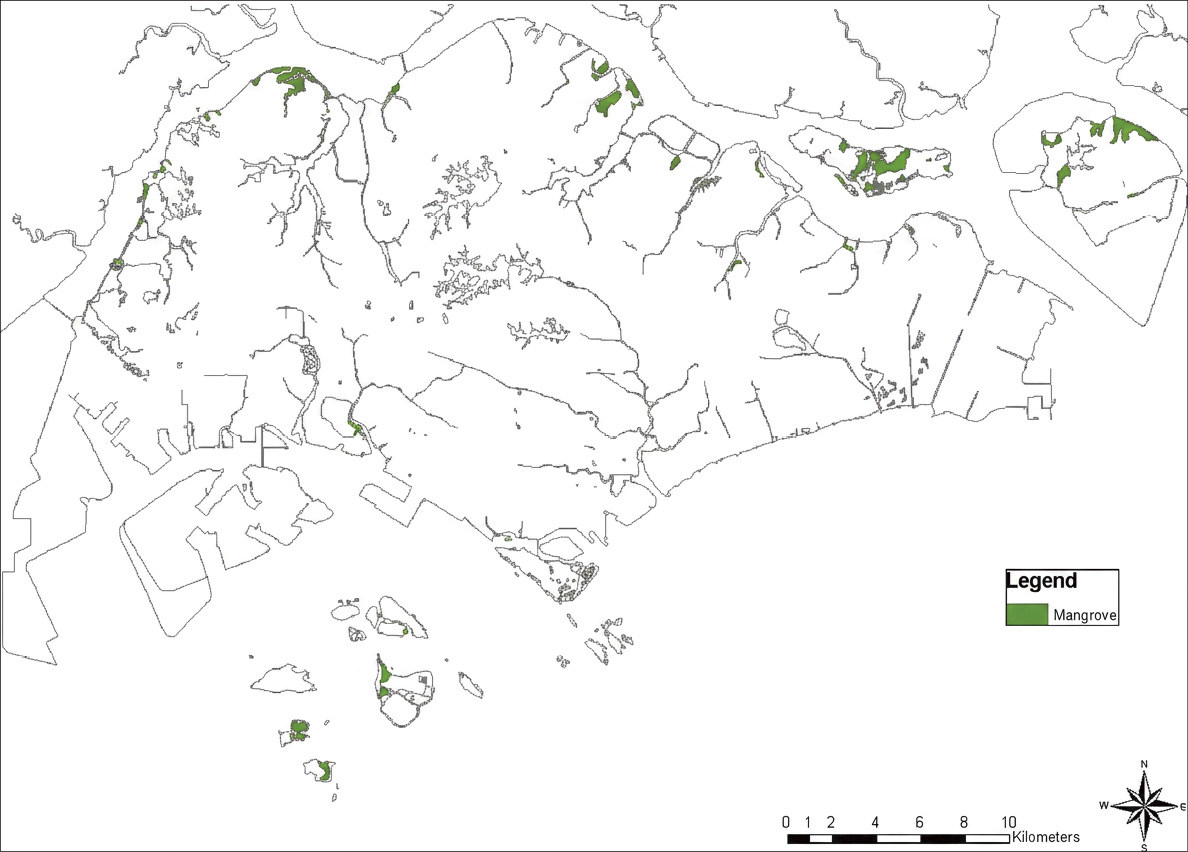
Figure 7-2 Mangrove forests in Singapore (Source: Yang et al., 2013)
Despite their limited extent, Singapore’s mangrove forests support 35 true mangrove species (Table 7-1), comprising half of the globally recognized mangrove species and a substantial share of the 46 species known in the Indo-Malay Philippine Archipelago (Keng, 1990; Turner and Yong, 1999; Tan et al., 2007; Polidoro et al., 2010; Yang et al., 2013). Additionally, 35 mangrove-associated plant species (Table 7-2) enhance the unique botanical diversity of Singapore’s mangrove ecosystems (Turner and Yong, 1999).
Table 7-1 Mangrove species in Singapore (Yang et al., 2013)
| No. | Species | English Common Name | Conservation Status* |
| 1 | Acanthus ilicifolius | Holly-leaved acanthus | |
| 2 | Acanthus ebracteatus | Sea holly | Vulnerable |
| 3 | Acanthus volubilis | Twining acanthus | Vulnerable |
| 4 | Acrostichum aureum | Golden leather fern | |
| 5 | Acrostichum speciosum | Mangrove fern | |
| 6 | Aegiceras corniculatum | River mangrove | Endangered |
| 7 | Avicennia alba | White mangrove | |
| 8 | Avicennia marina | Grey mangrove | Critically Endangered |
| 9 | Avicennia officinalis | Indian mangrove | |
| 10 | Avicennia rumphiana | Rumph’s mangrove | |
| 11 | Brownlowia tersa | Silver brownlowia | Endangered |
| 12 | Bruguiera cylindrica | Small-fruited bruguiera | |
| 13 | Bruguiera gymnorhiza | Large-leafed mangrove | |
| 14 | Bruguiera parviflora | Small-leafed bruguiera | Endangered |
| 15 | Bruguiera hainesii | Haines’ bruguiera | Critically Endangered |
| 16 | Bruguiera sexangula | Upriver orange mangrove | Critically Endangered |
| 17 | Ceriops zippeliana | Zippel’s spurred mangrove | Endangered |
| 18 | Ceriops tagal | Yellow mangrove | Vulnerable |
| 19 | Dolichandrone spathacea | Mangrove trumpet tree | Critically Endangered |
| 20 | Excoecaria agallocha | Milky mangrove | |
| 21 | Heritiera littoralis | Looking-glass mangrove | Endangered |
| 22 | Kandelia candel | Candle mangrove | Critically Endangered |
| 23 | Lumnitzera littorea | Black mangrove | Endangered |
| 24 | Lumnitzera racemosa | White-flowered lumnitzera | Endangered |
| 25 | Nypa fruticans | Nipa palm | Vulnerable |
| 26 | Pemphis acidula | Shrubby coral pemphis | Critically Endangered |
| 27 | Rhizophora apiculata | Tall-stilt mangrove | |
| 28 | Rhizophora mucronata | Red mangrove | |
| 29 | Rhizophora stylosa | Spotted mangrove | Vulnerable |
| 30 | Scyphiphora hydrophyllacea | Chengam | |
| 31 | Sonneratia alba | White sonneratia | |
| 32 | Sonneratia caseolaris | Crabapple mangrove | Critically Endangered |
| 33 | Sonneratia ovata | Oval sonneratia | Critically Endangered |
| 34 | Xylocarpus granatum | Cannonball mangrove | |
| 35 | Xylocarpus moluccensis | Cedar mangrove | Endangered |
* ‘Critically Endangered’ refers to species which occur in very low numbers (less than 50); ‘Endangered’ refers to species which occur in low numbers (less than 250, with no evidence of decline or fragmentation); Vulnerable refers to species which occur in one or a few areas (250 to 1000, but their long term survival is not certain).
Table 7-2 Mangrove associates in Singapore (Turner and Yong, 1999)
| No. | Species | English Common Name | Conservation Status* |
| 1 | Allophylus cobbe | Samoan soapberry | |
| 2 | Ardisia elliptica | Shoebutton ardisia | |
| 3 | Barringtonia asiatica | Fish poison tree | |
| 4 | Barringtonia racemosa | Powder-puff tree | Endangered |
| 5 | Breynia reclinata | Reclining breynia | |
| 6 | Buchanania arborescens | Gooseberry tree | |
| 7 | Caesalpinia bonduc | Nicker bean | |
| 8 | Caesalpinia crista | Grey nicker | |
| 9 | Cassine viburnifolia | Barat-barat | Endangered |
| 10 | Calamus erinaceus | Prickly rattan | Vulnerable |
| 11 | Calophyllum inophyllum | Alexandrian laurel | |
| 12 | Casuarina equisetifolia | Casuarina | |
| 13 | Cerbera manghas | Sea mango | |
| 14 | Cerbera odollam | Suicide tree | |
| 15 | Clerodendrum inerme | Seaside clerodendrum | |
| 16 | Crinum asiaticum | Poison bulb | Endangered |
| 17 | Cynometra ramiflora | Branch-flowered cynometra | |
| 18 | Dalbergia candenatensis | Candenat dalbergia | |
| 19 | Derris trifoliata | Three-leaf derris | |
| 20 | Diospyros ferrea | Sea ebony | |
| 21 | Flagellaria indica | Whip vine | |
| 22 | Glochidion littorale | Coastal glochidion | |
| 23 | Hibiscus tiliaceus | Sea hibiscus | |
| 24 | Intsia bijuga | Merbau | |
| 25 | Oncosperma tigillarium | Nibung palm | |
| 26 | Pandanus odoratissimus | Screw pine | |
| 27 | Podocarpus polystachyus | Many-spiked podocarpus | Endangered |
| 28 | Pongamia pinnata | Indian beech | Vulnerable |
| 29 | Scaevola taccada | Beach cabbage | |
| 30 | Sapium discolor | Discolored sapium | |
| 31 | Scolopia macrophylla | Large-leafed scolopia | |
| 32 | Thespesia populnea | Portia tree | |
| 33 | Terminalia catappa | Tropical almond | |
| 34 | Tristellateia australasiae | Australian tristellateia | Vulnerable |
Notes: Pemphis acidula, which is identified in some recent literature as a true mangrove species, has been removed from the mangrove-associated species table for consistency, although its classification remains subject to variation across sources.
* Endangered refers to species which occur in very low numbers or in small areas, and exist only in one or a few populations. Such plants are in immediate danger of extinction. Vulnerable refers to species which occur in one or a few areas with large numbers, but their long-term survival is not certain.


7.2 Status of Mangrove Protection and Management


7.2.1 National and local policies on mangrove protection and restoration
Singapore’s mangrove protection is embedded within a broader framework of environmental legislation and strategic plans, emphasizing integrated coastal management rather than standalone mangrove-specific laws. The foundational legal instrument is the Parks and Trees Act (Chapter 216), originally enacted in 1965 and amended in 2005), which empowers the National Parks Board (NParks) to regulate and protect nature reserves, including mangrove areas, by prohibiting unauthorized removal of vegetation and mandating environmental impact assessments (EIAs) for development projects (Attorney-General’s Chambers, 2005). Core provisions include fines of up to SGD 50,000, or imprisonment, for the illegal cutting, removal, or damage of trees and plants, including mangrove species listed as protected flora under Schedule 1.
At the policy level, the Singapore Green Plan 2030 serves as the overarching national strategy, integrating mangrove protection into its “City in Nature” pillar. This 10-year blueprint commits to restoring 80 hectares of forest, marine, and coastal habitats, including mangroves by 2030, enhancing carbon sinks and promoting nature-based solutions for climate resilience (National Climate Change Secretariat, 2021). Key elements include funding for wetland restoration and public-private partnerships, with outcomes like increased mangrove cover contributing to Singapore’s Nationally Determined Contributions (NDCs) under the Paris Agreement. The plan supports conservation by encouraging green cover in new developments and incentivizing eco-tourism at mangrove sites.
Another pivotal policy is the Nature Conservation Masterplan (2015, updated in 2020), developed by NParks, which identifies mangroves as priority habitats for protection and restoration. It outlines actions such as habitat connectivity corridors and species recovery programs for endangered mangroves like Bruguiera hainesii, with core content focusing on research, community engagement, and monitoring (NParks, 2020). The plan has supported mangrove restoration efforts through initiatives such as the Environmental Monitoring and Management Program (EMMP, initiated in 2013), demonstrating tangible contributions to ecological recovery (Friess, 2017).
To enhance mangrove conservation at the local level, NParks has implemented targeted strategies on key sites. The Pulau Ubin Management Plan (updated 2022) prioritizes mangrove protection through no-development zones, community-led monitoring, and sustainable tourism (NParks, 2022) (Figure 7-3). Similarly, the established Sungei Buloh Nature Park Network expands the Sungei Buloh Wetland Reserve by integrating adjacent mangroves and marshes into a protected corridor, prohibiting development and promoting eco-education as a model for urban-adjacent conservation (NParks, 2024b).
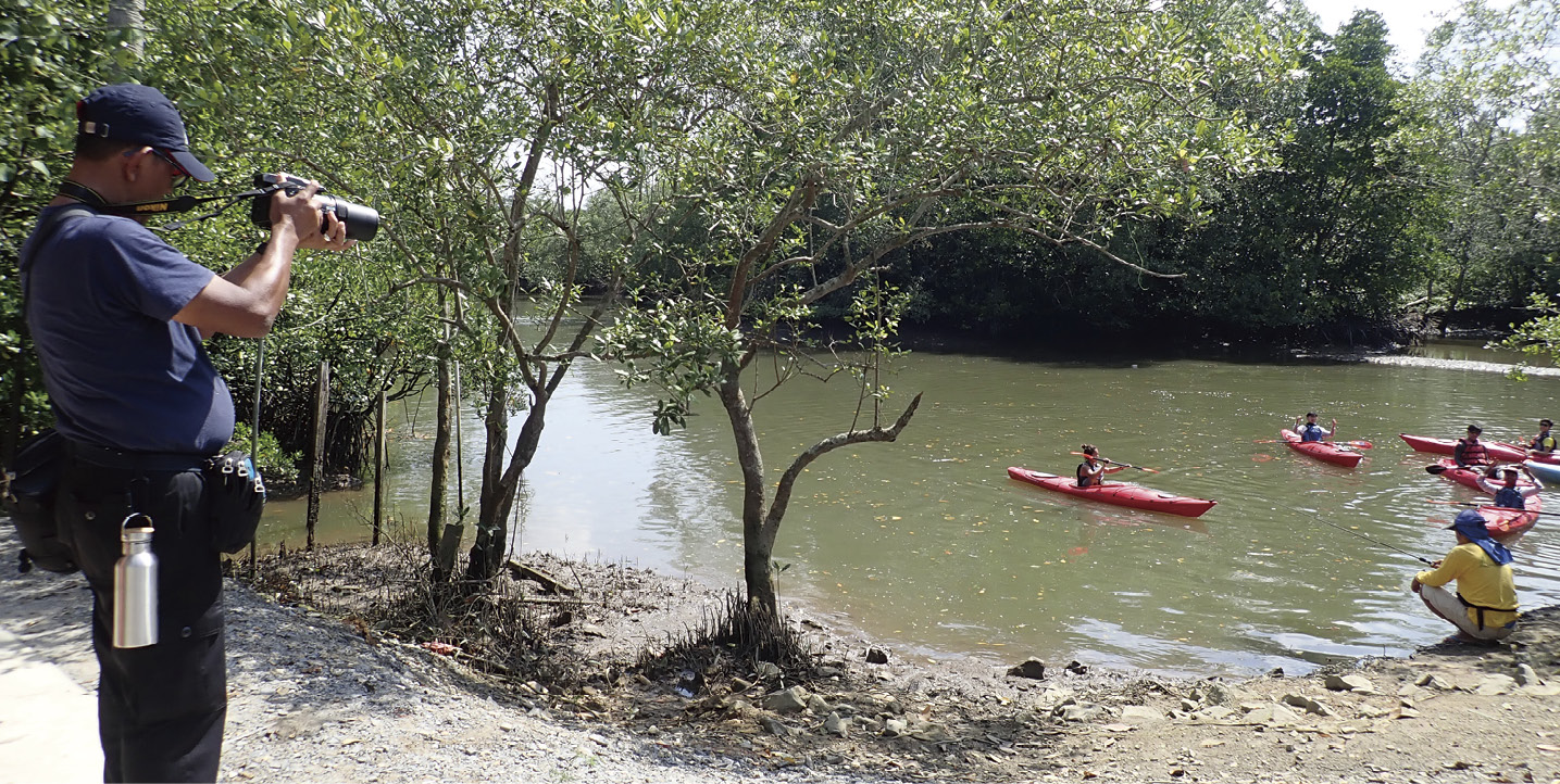
Figure 7-3 Kayakers on Sungei Jelutong next to Ah Mah’s Drinkstall. (Photo by Ria Tan)
Overall, Singapore’s policies prioritize adaptive, integrated management, incorporating restoration into conservation goals, effectively stabilizing and increasing mangrove cover.


7.2.2 Status of mangrove ecological management
Singapore has designated a few protected areas encompassing mangroves. These areas focus on biodiversity preservation, coastal defense, and migratory bird habitats. (Table 7-3, Figure 7-4) Apart from the designated nature reserves and parks, NParks also oversees management of some other mangrove areas. A new Mandai Mangrove and Mudflat Nature Park is underway, planned to open in 2028 (NParks, 2024c).
Table 7-3 Key mangrove areas under official designations or conservation schemes (NParks, 2024a, 2024b; Ramsar Convention Secretariat, 2024).
| Name | Category | Location | Protection Objectives | Year of Establishment |
| Pasir Ris Park | Nature Park | East mainland (Pasir Ris) | Protect coastal biodiversity [including 6 hectares mangroves], support recreation, and promote environmental education |
1980s |
| Sungei Buloh Wetland Reserve | Nature Reserve / Ramsar Site | Northwest mainland (Kranji) | Conserve mangroves and mudflats for migratory birds, carbon storage, and coastal protection | 1993 (Ramsar: 2002) |
| Pulau Ubin | The Ubin Project | Northeast offshore island | Preserve ~50% undeveloped areas (including mangroves) for biodiversity recovery and heritage conservation | 2014 |
_Photo_by_Ria_Tan.jpg)
Figure 7-4 Mangroves at Pulau Semakau (South). (Photo by Ria Tan)
Sungei Buloh is Singapore’s only Ramsar site, which exemplifies international alignment, protecting mangroves and adjacent intertidal areas vital for global flyways (Ramsar Convention Secretariat, 2024).
To safeguard Singapore’s mangrove ecosystems, NParks implements a comprehensive strategy emphasizing prevention, monitoring, and resilience. Buffer zones around reserves are enforced to prevent reclamation and urban encroachment, complemented by biodiversity surveys and monitoring for early detection of threats like illegal dumping (Discover Wild Science, 2025; NParks, 2023). These efforts are supported by hydrological restoration to mimic natural tidal flows and reduce erosion, ensuring habitat stability (NParks, 2024a). Further strengthening resilience, climate adaptation strategies under the Green Plan 2030 include elevating boardwalks and planting resilient species to counter sea-level rise (NEA, 2024; National Climate Change Secretariat, 2021). These actions have contributed to stabilizing mangrove extent, though fragmentation remains a challenge (Friess et al., 2020b). There are also intensive public education initiatives from government agencies and NGO partnerships on mangrove conservation, including guided tours on mangrove trails, public-engaged mangrove planting, and the SGBioAtlas app for citizen science (NParks, 2023; WWF-Singapore, 2024). These efforts enhance public understanding, fostering support for mangrove protection.


7.2.3 Status of mangrove ecological restoration
Singapore’s mangrove restoration is guided by the City in Nature pillar of the Green Plan 2030, targeting 80 hectares of restored forest, marine, and coastal habitats, including mangroves, to enhance coastal resilience (NParks, 2023; National Climate Change Secretariat, 2021). Complementing this, the One Million Trees Movement, launched in 2020 to plant one million trees across Singapore by 2030, includes mangrove plantings, such as native species at Sungei Buloh and Pulau Ubin, to expand coastal green cover (NParks, 2023). Alongside these efforts, the Restore Ubin Mangroves (R.U.M.) Initiative (launched in 2015), a community-government collaboration supported by partners like OCBC (Oversea-Chinese Banking Corporation), has piloted Ecological Mangrove Restoration (EMR) on abandoned ponds at Pulau Ubin, achieving notable increases in mangrove cover since 2020 and enhanced carbon storage (ASEAN Center for Biodiversity, 2025; OCBC Bank, 2024). Progress reports and research highlight high survival rates for EMR, often surpassing those of traditional planting methods (Restore Ubin Mangroves Initiative, 2023; Friess et al., 2020a).
Restoration techniques
Singapore employs near-natural techniques, prioritizing EMR, which mimics natural ecological processes, over direct planting (Friess, 2017). This represents a shift from earlier reliance on direct planting in the 1990s and 2000s, with EMR gaining prominence since the mid-2010s through pilots like the R.U.M. Initiative (Friess, 2017; NParks, 2022). Restoration efforts primarily focus on reforestation, targeting degraded sites such as abandoned aquaculture ponds, which were originally mangrove habitats, with afforestation on barren mudflats playing a secondary but complementary role (Friess, 2017; Yee et al., 2010).
The primary restoration method is hydrological restoration, which involves removing bunds to restore natural tidal flows. This enables natural propagule dispersal, allowing mangrove propagules to establish effectively instead of relying on planted seedlings, achieving high establishment rates (Discover Wild Science, 2025; Friess, 2017). Species planted include Rhizophora apiculata (for pioneer zones) and Bruguiera spp. (for inland areas), selected via zoning studies (NParks, 2024d). Habitat modifications include silt curtains during construction and drone-monitored sediment augmentation, enhancing survival amid urban runoff (Dredging Today, 2023). EMR avoids monocultures, promoting biodiversity through natural multi-species recruitment (Global Mangrove Alliance, 2024; Friess, 2017).
Representative restoration case studies
Case Study 1: Sungei Api Api Mangrove Restoration Project
The Sungei Api Api mangrove restoration project (Figure 7-5), located on the northeastern coast of Singapore in an artificially constructed estuarine channel, serves as an example of successful mangrove establishment in an urban setting (Yee et al., 2011; NParks, 2015). Initiated in the early 1990s as part of broader conservation efforts, the project involved the artificial planting of Rhizophora apiculata and Bruguiera gymnorhiza and natural regeneration to create a functional ecosystem in a man-made channel (Yee et al., 2011). Methods included transplanting these mangrove species, along with hydrological modifications to support tidal flushing and sediment accretion (Yee et al., 2011; Friess, 2017). By the mid-2010s, the project had achieved mangrove establishment, with increased coverage and structural complexity, demonstrating potential for conserving and reintroducing mangroves in urban areas through experimental adaptive management (Yee et al., 2011; NParks, 2015). Outcomes included enhanced biodiversity, such as improved habitats for fish and invertebrate species, increased above-ground biomass contributing to carbon sequestration, and strengthened coastal protection against erosion (Yee et al., 2011; Abdul-Hadi et al., 2025). Long-term assessments indicate that Sungei Api Api has developed a structurally complex mangrove ecosystem, supporting higher carbon storage compared to unrestored sites (Abdul-Hadi et al., 2025). However, comprehensive data on ecosystem services, such as carbon stocks and biodiversity dynamics, remain limited, underscoring the need for sustained monitoring to optimize adaptive management (Abdul-Hadi et al., 2025). These results highlight the viability of integrating mangrove restoration with urban infrastructure.
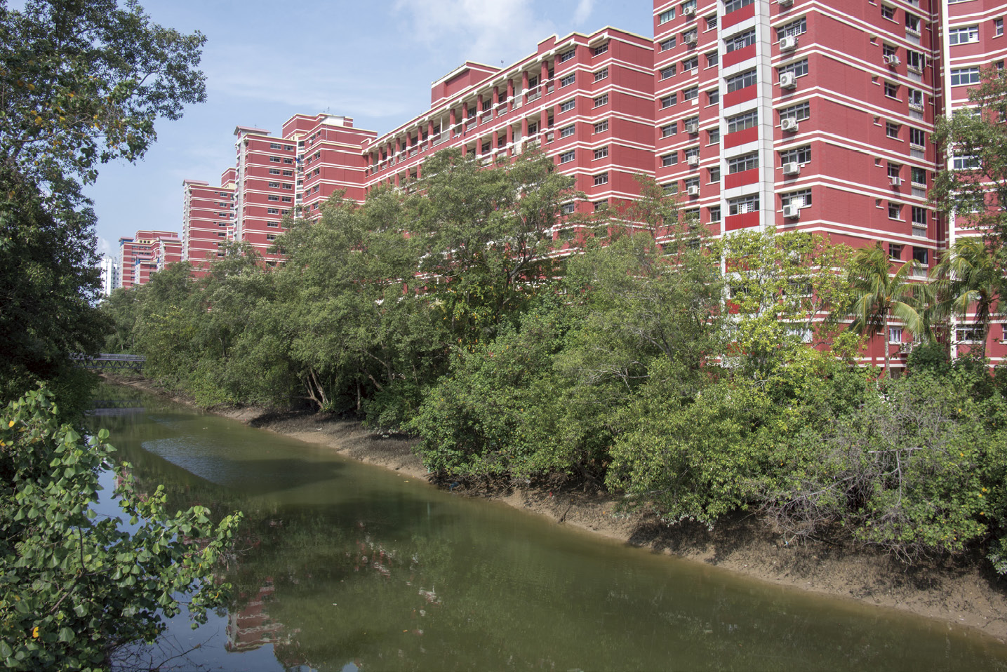
Figure 7-5 HDB flats along mangrove-lined Sungei Api Api, Pasir Ris. (Photo by Ria Tan)
Case Study 2: Restore Ubin Mangroves (R.U.M.) Initiative
The R.U.M. Initiative, launched in 2015 as a community-government collaboration under NParks, focused on rehabilitating abandoned aquaculture ponds on Pulau Ubin through EMR methods (Friess, 2017; NParks, 2022). The restoration efforts involved pilot studies emphasizing hydrological restoration, such as removing bunds to restore tidal flows, and promoting natural seedling recruitment over direct planting to avoid monocultures and enhance biodiversity (Friess, 2017)(Figure 7-6, Figure 7-7). This initiative laid the groundwork for adaptive management, incorporating community involvement and scientific monitoring to improve long-term success rates (Friess, 2017). Building on R.U.M.’s efforts, the subsequent OCBC Mangrove Park project, partnered with OCBC Bank and launched in 2022 at Sungei Durian on Pulau Ubin, represents Singapore’s first large-scale EMR application, aiming to restore 4 hectares of abandoned ponds with natural recruitment of approximately 8,000 propagules from species like Rhizophora, Bruguiera, and Avicennia (NParks, 2022; Channel News Asia, 2022). Projected outcomes include enhanced carbon sequestration (up to 30 million kg of CO₂ over the lifetimes of the trees) and improved coastal resilience, with completion expected by 2026 (NParks, 2022; OCBC Bank, 2022).

Figure 7-6 Mangroves around Ah Mah’s Drinkstall at Sungei Jelutong, Pulau Ubin. (Photo by Ria Tan)
_Photo_by_Ria_Tan.jpg)
Figure 7-7 Gold-spotted mudskipper (Periophthalmus chrysospilos). (Photo by Ria Tan)


7.3 Gap Analysis and Recommendations for Conservation and Management


7.3.1 Main threats and pressures facing mangrove ecosystems
Despite achievements in restoration, Singapore’s mangrove ecosystems face multifaceted threats from rapid urbanization, coastal erosion, pollution, and climate change. Historically, mangrove cover declined from approximately 6,400 hectares in 1953 to around 600 hectares in 1987 primarily due to land reclamation for industrial, residential, and port development (Corlett, 1992). Urban expansion and coastal development remain primary anthropogenic pressures, with reclamation projects, causing habitat fragmentation and posing risks to mangrove patches (Friess, 2017; Lai et al., 2015). Coastal erosion, exacerbated by infrastructure development and altered sediment dynamics from reclamation and channelization, could further degrade habitats (Sivasothi, 2023). In Singapore, pollutants like heavy metals, persistent organic pollutants (POPs), microplastics, and polycyclic aromatic hydrocarbons (PAHs) from urban runoff, port activities, and transboundary marine debris accumulate in mangrove sediments, threatening biodiversity and ecosystem services (Szafranski and Granek, 2023; Bayen et al., 2005; Nor and Obbard, 2014; Figure 7-8).
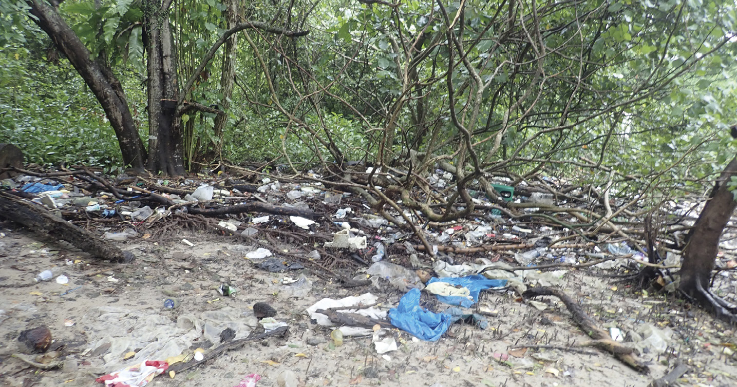
Figure 7-8 Trash at Lim Chu Kang mangroves, May 2019. (Photo by Ria Tan)
Climate change intensifies these challenges through sea-level rise, projected to reach up to 1.15 meters by 2100, which could inundate low-lying mangroves and alter their inland distribution (NEA, 2024). Increased storm frequency and intensity destabilize mangroves, while warmer temperatures may disrupt species composition and recruitment (Ward et al., 2016; Friess et al., 2022). Though less dominant, biological invasions and historical overexploitation persist; invasive species compete with native mangroves, and abandoned aquaculture ponds often fail to regenerate naturally without intervention (Friess, 2017; Friess et al., 2020a). These threats interact synergistically, with fragmentation reducing resilience to pollution and climate stressors, leading to biodiversity losses, such as for the critically endangered Bruguiera hainesii (Tan et al., 2007). Singapore’s mangroves remain confined to isolated coastal strips, heightening their vulnerability to cumulative pressures (Hilton and Manning, 1995; Yang et al., 2013).


7.3.2 Challenges and opportunities
Singapore has made notable strides in mangrove conservation, expanding mangrove cover from 483 hectares in 1993 to 734.9 hectares with a stable areal extent since 2012, driven by robust frameworks like the Singapore Green Plan 2030 and the Nature Conservation Masterplan (Yang et al., 2013; NParks, 2020). However, opportunities to enhance conservation and restoration efforts coexist with persistent challenges across policies, knowledge, practices, funding, and community engagement.
1) Policies and governance: The Parks and Trees Act (2005) effectively protects reserves like Sungei Buloh Wetland Reserve, ensuring robust legal safeguards for designated mangrove areas (Friess et al., 2016). However, challenges persist in this area due to the pressure from urban development, which sometimes competes with mangrove preservation, creating tensions between balancing ecological and developmental priorities (Friess, 2017; Yee et al., 2011). To address this, opportunities exist to strengthen policy integration by incorporating mangrove-specific zoning into urban planning frameworks, which could better balance development pressures (Friess et al., 2016). Additionally, while environmental impact assessments guide reclamation, proactive safeguards for non-reserve mangroves could ensure consistent protection across all mangrove habitats (Szafranski and Granek, 2023).
2) Knowledge and data: Advances in surveys have improved understanding, yet comprehensive baselines for ecosystem services, such as carbon stocks and biodiversity dynamics in urban patches, remain limited (Friess, 2017). Expanding long-term datasets could enhance adaptive management precision (Yee et al., 2010).
3) Conservation and restoration practices: Singapore’s mangrove restoration, notably at sites like Sungei Buloh and Pulau Ubin, has stabilized cover and boosted biodiversity, but challenges persist. Direct planting in suboptimal sites leads to variable survival rates and lower carbon sequestration compared to natural recruitment, as planted mangroves may not fully replicate forest functions (Friess, 2017; Friess et al., 2020a). EMR mitigates this by prioritizing hydrological restoration, but fragmented urban landscapes create edge effects, limiting connectivity and resilience (Friess, 2017). Remaining aquaculture ponds, common restoration targets, retain dikes that hinder tidal flushing and natural seedling establishment, requiring costly engineering solutions (Friess, 2017). Climate stressors, particularly sea-level rise, threaten restored sites, necessitating adaptive designs like species zoning, which are still being refined (Friess et al., 2022). Opportunities exist to refine EMR techniques and develop standardized, scalable monitoring frameworks to track long-term biodiversity and success metrics, which are currently sparse in some pilot sites (NParks, 2022).
4) Funding and sustainability: Public-private partnerships, such as the OCBC Mangrove Park, support conservation, but diversifying funding beyond project-specific allocations could ensure continuity. Explicitly valuing mangrove services, such as coastal protection, in economic frameworks would justify sustained investment (Friess et al., 2016). However, intermittent funding and technical expertise needs remain challenges, particularly for scaling restoration efforts and maintaining long-term project viability (Friess, 2017).
5) Public engagement: Public-oriented mangrove conservation initiatives, such as the Friends of Ubin Network, have effectively motivated communities, contributing positively to conservation and restoration efforts. However, more can be done to enhance these outcomes. For example, marine debris, especially plastics, entangles roots and disrupts seedling growth, posing a challenge to mangrove ecosystems (van Bijsterveldt et al., 2021). Yet, it also presents a significant opportunity for community involvement through volunteer-driven cleanup campaigns, such as regular beach and mangrove debris removal activities, which improve ecosystem health and raise public awareness. Complementary educational programs could further engage communities by highlighting the impacts of marine litter and microplastics on mangroves, encouraging waste reduction and recycling initiatives to promote sustainable lifestyles. In addition to direct actions, broader inclusion in decision-making could strengthen public ownership and participation.


7.3.3 Recommendations
Building on Singapore’s robust conservation foundation, the following recommendations aim to refine and scale efforts for greater resilience.
1) Strengthen policy integration: Enhance mangrove protection by embedding specific zoning and ecosystem-based assessments into urban planning frameworks to ensure development aligns with conservation goals (Friess et al., 2016).
2) Enhance monitoring: Leverage university partnerships to build comprehensive datasets on biodiversity (Figure 7-9), carbon stocks, and threat dynamics (Friess, 2017). Create an open-access database to support adaptive management and research. Integrate monitoring technologies, such as drones and artificial intelligence (AI), to improve threat detection and response.
_Photo_by_Ria_Tan.jpg)
Figure 7-9 Smooth-coated otter (Lutrogale perspicillata). (Photo by Ria Tan)
3) Deepen community engagement: Scale community participation and citizen science initiatives, fostering inclusive planning processes to enhance public ownership and strengthen enforcement.
4) Promote advanced techniques: Promote EMR models that integrate climate-adaptive designs, such as resilient species selection and elevated substrates, to counter sea-level rise, and establish standardized evaluation frameworks for scalability. Share these models to assist neighboring countries with extensive mangrove ecosystems in conducting restoration projects more effectively.


References
Abdul-Hadi A, Pimple U, Piponiot C, et al. 2025. Assessing the effectiveness of mangrove rehabilitation using above-ground biomass and structural complexity in Singapore. Scientific Reports, 15(1): 92514
ASEAN Center for Biodiversity. 2024. ASEAN Strategy on Sustainable Mangrove Ecosystem Management.https://asean.org/wp-content/uploads/2025/04/i.-ASEAN-Strategy_Mangrove_final-fixed_rev2[2025-10-15]
ASEAN Center for Biodiversity. 2025. Into the groove of mangrove conservation. https://www.aseanbiodiversity.org/news-events-jobs/into-the-groove-of-mangrove-conservation/[2025-10-15]
Attorney-General’s Chambers. 2005. Parks and Trees Act 2005. Singapore Statutes Online. https://sso.agc.gov.sg/Act/PTA2005[2025-10-15]
Bayen S, Wurl O, Karuppiah S, et al. 2005. Persistent organic pollutants in mangrove food webs in Singapore. Chemosphere, 61(3): 303-313
Channel News Asia. 2022. Mangrove park with about 8,000 trees to open in Pulau Ubin in 2026. https://www.channelnewsasia.com/sustainability/pulau-ubin-mangrove-park-2026-nparks-ocbc-sungei-durian-3032241[2025-10-15]
Corlett R T. 1992. The ecological transformation of Singapore, 1819-1990. Journal of Biogeography, 19: 411-420
Discover Wild Science. 2025. Mangrove restoration efforts in Singapore: reviving coastal ecosystems. https://discoverwildscience.com/mangrove-restoration-efforts-in-singapore-reviving-coastal-ecosystems-2-279054/[2025-10-15]
Dredging Today. 2023. Singapore’s first large-scale mangrove restoration project moves ahead. https://www.dredgingtoday.com/2023/09/21/singapores-first-large-scale-mangrove-restoration-project-moves-ahead/[2025-10-15]
Friess D A. 2017. Mangrove rehabilitation along urban coastlines: a Singapore case study. Regional Studies in Marine Science, 16: 279-289
Friess D A, Aung T T, Huxham M, et al. 2020a. Mangrove rehabilitation and restoration as experimental adaptive management. Frontiers in Marine Science, 7: 327.
Friess D A, Bryan-Brown D N, Adame M F, et al. 2020b. Global trends in mangrove forest fragmentation. Scientific Reports, 10: 7117
Friess D A, Krauss K W, Taillardat P, et al. 2022. Mangrove forests under climate change in a 2°C world. WIREs Climate Change, 13(4): e792
Friess D A, Thompson B S, Brown B, et al. 2016. Policy challenges and approaches for the conservation of mangrove forests in Southeast Asia. Conservation Biology, 30(5): 933-949
Global Mangrove Alliance. 2024. Best practice guidelines for mangrove restoration. https://www.mangrovealliance.org/best-practice-guidelines-for-mangrove-restoration/[2025-10-15]
Hilton G M, Manning R J. 1995. The mangroves of Singapore. Gardens’ Bulletin Singapore, 47: 105-120
Keng H. 1990. The concise flora of Singapore: Gymnosperms and dicotyledons. Singapore: Singapore University Press
Lai S, Loke L H L, Hilton M J, et al. 2015. The effects of urbanisation on coastal habitats and the potential for ecological engineering: a Singapore case study. Ocean and Coastal Management, 103: 78-85
National Climate Change Secretariat. 2021. Singapore Green Plan 2030. https://www.greenplan.gov.sg/[2025-10-15]
NEA. 2024. Third National Climate Change Study (V3). National Environment Agency. https://www.mss-int.sg/docs/default-source/v3_reports/v3-stakeholder-report_20240306.pdf[2025-10-15]
Nor N H M, Obbard J P. 2014. Microplastics in Singapore’s coastal mangrove ecosystems. Marine Pollution Bulletin, 79(1-2): 278-283
NParks. 2015. Annual Report 2014/2015: Sustaining a city in nature. National Parks Board. https://www.nparks.gov.sg/-/media/nparks-real-content/about-us/annual-report/nparks-ar20142015.pdf[2025-10-15]
NParks. 2020. Nature Conservation Masterplan. National Parks Board. https://www.nparks.gov.sg/nature/nature-conservation-masterplan, Accessed on 15 October 2025.
NParks. 2022. OCBC Mangrove Park launched at Pulau Ubin. National Parks Board. https://www.nparks.gov.sg/news/news-detail/nparks-partners-ocbc-bank-in-singapore%27s-first-large-scale-ecological-mangrove-restoration-project-at-pulau-ubin, Accessed on 15 October 2025.
NParks. 2023. Annual Report 2022/2023. National Parks Board. https://www.nparks.gov.sg/-/media/annual-report-2023/nparks_ar23_forweb_231016.pdf, Accessed on 15 October 2025.
NParks. 2024a. Coastal and marine ecosystems. National Parks Board. https://www.nparks.gov.sg/nature/ecosystems/coastal-marine , Accessed on 15 October 2025.
NParks. 2024b. Nature areas and nature park networks. National Parks Board. https://www.nparks.gov.sg/visit/when-visiting-parks/about-parks-nature-reserves-pcns/nature-park-networks-areas, Accessed on 15 October 2025.
NParks. 2024c. Mandai Mangrove and Mudflat Nature Park. National Parks Board. https://www.nparks.gov.sg/nature/nature-park-networks/sungei-buloh-nature-park-network/mandai-mangrove-and-mudflat, Accessed on 15 October 2025.
NParks. 2024d. Next Bound of The Ubin Project. National Parks Board. https://pulau-ubin.nparks.gov.sg/the-next-bound/, Accessed on 15 October 2025.
OCBC Bank. 2022. OCBC commits to mangrove restoration at Pulau Ubin. OCBC Bank Media Release.https://www.ocbc.com/group/media/release/2022/nparks_partners_ocbc_bank_in_singapores_first_large-scale_ecological_mangrove_restoration_project_at_pulau_ubin.page, Accessed on 15 October 2025.
OCBC Bank. 2024. Annual Report 2024: Seeding Hope for the Future. OCBC Bank. https://www.ocbc.com/group/investors/annual-reports/2024-annual-report/seeding-hope-for-the-future.page, Accessed on 15 October 2025.
Polidoro B A, Carpenter K E, Collins L, et al. 2010. The loss of species: mangrove extinction risk and geographic areas of global concern. PLoS ONE, 5(4): e10095
Ramsar Convention Secretariat. 2024. Ramsar Sites Information Service. https://rsis.ramsar.org/
Restore Ubin Mangroves Initiative. 2023. EIA now available for public viewing. https://rum-initiative.blogspot.com/2023/09/eia-now-available-for-public-viewing.html[2025-10-15]
Sivasothi N. 2023. Coastal Protection Synergy with Mangrove Restoration in Pulau Tekong // Handbook on Habitat Restoration. National Parks Board, Singapore. https://www.nparks.gov.sg/docs/default-source/resources/2023/handbook-habitat-restoration-chapter13.pdf[2025-10-15]
Szafranski G, Granek E F. 2023. Contamination in mangrove ecosystems: a synthesis of literature reviews across multiple contaminant categories. Marine Pollution Bulletin, 196: 115595.
Tan H T W, Chou L M, Yeo D C J, et al. 2007. The natural heritage of Singapore (2nd ed.). Singapore: Pearson Prentice Hall
Turner I M, Yong J W H. 1999. The coastal vegetation of Singapore // Briffett C, Ho H C. State of the Natural Environment in Singapore. Singapore: Nature Society: 5-23
van Bijsterveldt C E, van Wesenbeeck B K, Ramadhani S, et al. 2021. Does plastic waste kill mangroves? A field experiment to assess the impact of macro plastics on mangrove growth, stress response and survival. Science of the Total Environment, 755(Pt 1): 143826
Ward R D, Friess D A, Day R H, et al. 2016. Impacts of climate change on mangrove ecosystems: a region by region overview. Ecosystem Health and Sustainability, 2(9): e01211
WWF-Singapore. 2024. Conserve our wetlands. https://www.wwf.sg/sgmangroves/. Accessed on 15 October 2025.
Yang S, Lim R L F, Sheue C R, et al. 2013. The current status of mangrove forests in Singapore // Proceedings of Nature Society, Singapore’s Conference on ‘Nature Conservation for a Sustainable Singapore’. Singapore: Nature Society: 99-120
Yee A T K, Ang W F, Teo S, et al. 2010. The present extent of mangrove forests in Singapore. Nature in Singapore, 3: 139-145
Yee A T K, Tan H T W, Corlett R T. 2011. Mangrove establishment in an artificially constructed estuarine channel: Sungei Api-Api, Singapore. Urban Ecosystems, 14(2): 189-197


Chapter 8 Assessment of Thailand’s Mangrove Forests: Status, Conservation, and Management
Authors:
• Poonsri Wanthongchai, Mangrove Research and Development Institute, Department of Marine and Coastal Resources (DMCR)
• Siriporn Sriaram, French Development Agency (AFD)


Abstract
Mangrove forests in Thailand are critical coastal ecosystems that provide essential services, including coastal protection, biodiversity conservation, fisheries support, and climate change mitigation through blue carbon sequestration. Although Thailand experienced a significant decline in mangrove coverage during the late twentieth century due to aquaculture expansion and coastal development, recent decades have seen a gradual recovery driven by strengthened conservation policies, restoration programs, and increased stakeholder engagement.
Mangrove management in Thailand is guided by national legislation, long-term strategic plans, zoning-based resource management, and international commitments. Key government agencies oversee protection and restoration efforts, while protected areas such as Ramsar Sites, national parks, and biosphere reserves play a vital role in safeguarding ecologically significant mangrove landscapes, particularly along the Andaman coast. Restoration strategies have increasingly shifted toward near-natural ecological approaches that prioritize hydrological rehabilitation, natural regeneration, and community participation, demonstrating improved ecological outcomes and cost efficiency.
Despite notable progress, Thailand’s mangrove ecosystems continue to face pressures from urban expansion, pollution, unsustainable resource use, climate change impacts, and unresolved land tenure issues. Governance fragmentation, data gaps, and limited long-term financing remain key constraints. Addressing these challenges requires a unified mangrove-specific legal framework, scaling up science-based restoration, and strengthening community-based management through sustainable economic incentives such as carbon credits and ecosystem service mechanisms. These actions are essential to enhance ecosystem resilience, support coastal livelihoods, and advance national and regional sustainability goals.


8.1 Status of Mangrove Resources


8.1.1 Distribution and area
Thailand’s coastal zones extend approximately 3,151 kilometers along the Gulf of Thailand and the Andaman Sea and support ecologically significant mangrove ecosystems. These ecosystems function as natural buffers against coastal erosion, storm surges, and climate-related impacts. Despite their recognized importance, mangrove forests in Thailand experienced severe degradation during the latter half of the twentieth century. Historical records from the Royal Forest Department indicate that national mangrove coverage declined sharply from 372,356 hectares in 1961 to 196,437 hectares in 1986, representing a loss of more than 50 percent. This decline was largely driven by rapid land-use conversion associated with the expansion of aquaculture and agricultural activities.
In recent decades, however, a notable shift toward ecological recovery has been observed. According to the most recent joint assessment conducted by the Department of Marine and Coastal Resources (DMCR) and the Geo-Informatics and Space Technology Development Agency (GISTDA) in 2020, sustained conservation and restoration measures have resulted in an increase of approximately 32,389 hectares of remaining mangrove forest since 2014. As a result, the total area of intact mangrove forest has expanded to an estimated 277,923 hectares. Although Thailand is classified as a medium-scale mangrove-holding country at the global level (FAO, 2020), the transition from historical exploitation to active restoration represents a valuable case for examining the effectiveness of national environmental governance and coastal resource management.
In a global context, Thailand does not rank among the five countries with the largest mangrove areas, which include Indonesia, Brazil, Nigeria, Mexico, and Australia. Nevertheless, Thailand’s mangrove extent remains regionally significant and contributes meaningfully to Southeast Asia’s coastal ecosystems.
The spatial distribution of mangrove forests in Thailand can be broadly divided into two principal coastal zones.
Andaman Sea Coast: The western coast of southern Thailand contains the largest and most contiguous tracts of intact mangrove forest. The Lower Andaman Coast accounts for the largest share, covering approximately 114,010 hectares, followed by the Upper Andaman Coast with about 73,629 hectares. These areas are characterized by relatively intact forest structure and high levels of biological diversity (Figure 8-1).
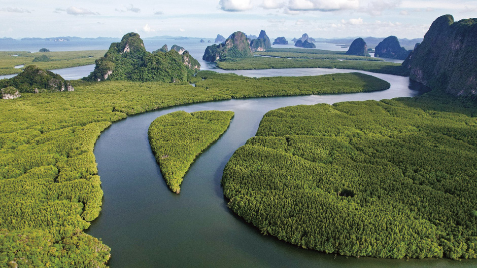
Figure 8-1 Mangroves at Phang-nga Province, Andaman Sea coast. (Provided by DNP)
Gulf of Thailand Coast: Along the Gulf of Thailand, mangrove forests occur in more fragmented patches, primarily at river mouths and sheltered coastal areas. Significant mangrove stands are found in eastern provinces such as Chonburi, Rayong, Chanthaburi, and Trat, as well as in lower southern provinces including Chumphon, Surat Thani, Nakhon Si Thammarat, Songkhla, and Pattani. The Lower Gulf of Thailand Coast supports approximately 90,284 hectares of mangrove forest.


8.1.2 Species composition and zonation
Mangrove ecosystems in Thailand exhibit considerable floral diversity. Recent surveys have documented a total of 81 plant species associated with mangrove habitats, comprising 34 true mangrove species and 47 mangrove associate species. True mangroves are species that are strictly confined to tidal environments, whereas mangrove associates occur both within and beyond mangrove ecosystems. The true mangrove flora is dominated by families such as Rhizophoraceae, Acanthaceae, Lythraceae, Euphorbiaceae, and Meliaceae. Mangrove associates are represented by families including Apocynaceae, Asteraceae, Lecythidaceae, Rutaceae, and Sapindaceae.
Among true mangroves, species within the family Rhizophoraceae are ecologically dominant and structurally important. Canopy-forming species such as Rhizophora apiculata and R. mucronata commonly reach heights of up to 20 meters and play a central role in forest structure and function. These species are also of economic importance, particularly for charcoal production, and are frequently utilized in mangrove restoration programs. Other key genera contributing to ecosystem function include Ceriops, Bruguiera, Avicennia, and Sonneratia.
Thai mangrove forests display distinct zonation patterns driven by gradients in environmental factors such as salinity, tidal inundation frequency, sediment characteristics, and wave exposure. The seaward pioneer zone is typically dominated by Sonneratia and Avicennia species, which are well adapted to soft, muddy substrates and frequent tidal flooding. Landward of this zone, Rhizophora species occupy areas with firmer mud and regular tidal influence. Higher intertidal zones, subject to less frequent inundation, are commonly dominated by Bruguiera species. This zone gradually transitions into mixed stands containing Xylocarpus, Lumnitzera, Heritiera, and Excoecaria species. Beyond the influence of the highest spring tides, vegetation is largely composed of mangrove associate species.
Conservation strategies must also address the protection of rare and threatened taxa. Current records identify five mangrove tree species of particular conservation concern in Thailand: Bruguiera hainesii, Sonneratia griffithii, Heritiera fomes, Avicennia lanata, and Intsia bijuga.


8.1.3 Biodiversity
Mangrove forests are widely recognized as critical habitats that support high levels of biodiversity across aquatic and terrestrial ecosystems. Long-term monitoring conducted between 2006 and 2015 has documented a diverse assemblage of fauna within Thailand’s mangrove landscapes.
Aquatic fauna: One of the primary ecological functions of mangrove forests is their role as nursery grounds for juvenile aquatic organisms, thereby underpinning coastal fisheries productivity. Recorded aquatic fauna include 133 species of fish, 25 species of crustaceans—among them commercially important species such as Penaeus monodon and P. merguiensis—13 species of mollusks, and one arthropod species (Figure 8-2).
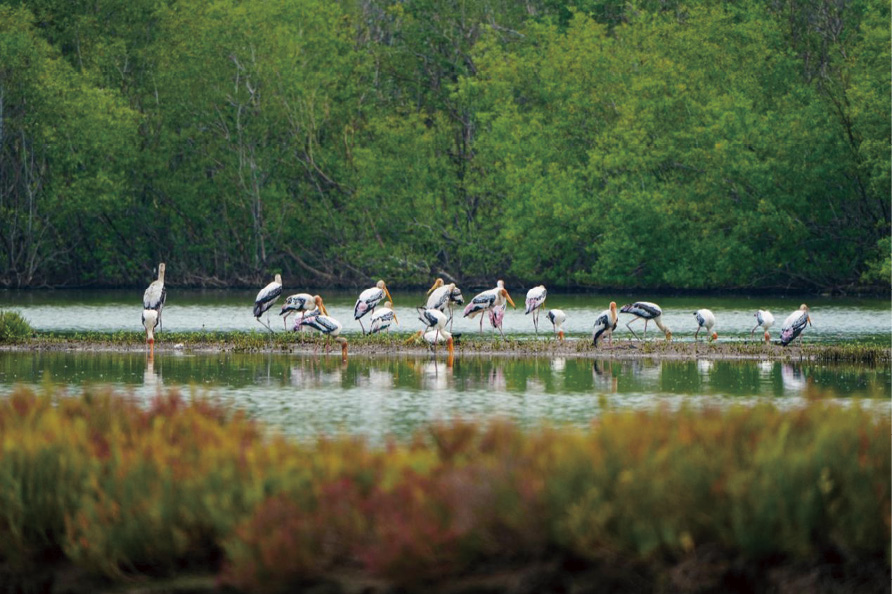
Figure 8-2 Mangrove Forests as Key Habitats for Coastal Biodiversity. (Provided by Kobsak Wanthongchai)
Avifauna and entomology: Mangrove ecosystems in Thailand also provide important habitat for avifauna. At least 272 bird species have been recorded, representing approximately one quarter of Thailand’s total documented bird diversity and underscoring the national significance of mangrove habitats for bird conservation. Notably, these include globally significant and highly threatened species, such as the Critically Endangered Christmas Island frigatebird (Fregata andrewsi). In addition, entomological diversity within mangrove ecosystems is substantial, with 1,570 insect species documented to date.
Other vertebrates: Mangrove habitats support a wide range of other vertebrate species. Mammalian fauna includes otters, bats, long-tailed macaques (Macaca fascicularis), and several species of wild cats. The herpetofauna is similarly diverse, encompassing snakes, crocodiles, and other reptile species. Together, these faunal groups reflect the ecological complexity and high conservation value of Thailand’s mangrove ecosystems.


8.2 Status of Mangrove Protection and Management


8.2.1 National and local policies and laws
Mangrove forest management in Thailand is governed by an evolving policy and legal framework that integrates sectoral forestry laws, marine and coastal resource legislation, national development strategies, and international climate commitments. Although early regulatory instruments were not specifically designed for mangrove ecosystems, subsequent legal and strategic reforms have progressively strengthened institutional clarity and management effectiveness.
The foundational legal instruments include the Forestry Act B.E. 2484 (1941) and the National Forest Reserve Act B.E. 2507 (1964), which establish general controls over forest use, land encroachment, and authorization for resource utilization. These laws historically served as the primary mechanisms for mangrove protection, particularly during periods of rapid coastal development. However, their broad scope and overlapping mandates highlighted the need for a more tailored governance framework for coastal ecosystems.
A major institutional advancement was achieved through the enactment of the Marine and Coastal Resources Management Promotion Act B.E. 2558 (2015), which explicitly recognizes mangrove forests as an integral component of Thailand’s marine and coastal resources. The Act establishes clear mechanisms for mangrove conservation and restoration. Under Section 18, the Minister of Natural Resources and Environment, with approval from the National Marine and Coastal Resources Management Policy and Planning Committee, is authorized to designate specific areas as Conservation Mangrove Areas through ministerial regulations. Such designations aim to conserve, protect, and rehabilitate mangrove ecosystems to maintain their natural conditions and ecological integrity, and must be accompanied by legally defined protection measures and official boundary maps. Eligibility conditions exclude areas located within national parks, wildlife sanctuaries, non-hunting areas, or privately held land under the Land Code, unless owned by government agencies.
Institutional coherence is further strengthened under Section 19 of the Act, which transfers authority over mangrove areas located within national reserved forests from the Royal Forest Department to the Department of Marine and Coastal Resources (DMCR), thereby consolidating operational responsibility under a specialized agency. At the provincial level, Section 13 mandates Provincial Marine and Coastal Resources Committees to provide recommendations on the designation of conservation mangrove areas, ensuring that local ecological conditions and stakeholder perspectives are incorporated into national decision-making. In addition, Section 16 emphasizes participatory governance by assigning DMCR responsibility for promoting and supporting the involvement of coastal communities and local administrative organizations in mangrove management, restoration, and sustainable use.
Mangrove governance is also guided by long-term national strategies and international climate commitments. In alignment with pledges announced at COP26 and COP27, Thailand has committed to achieving carbon neutrality by 2050 and net zero greenhouse gas emissions by 2065. To support these targets, the Ministry of Natural Resources and Environment has set a goal to increase net greenhouse gas sequestration in the forestry and land-use sector to 120 million tCO₂e by 2037, through natural forest restoration, promotion of economic forests, and strengthened measures to prevent forest encroachment. Within this strategic framework, mangrove ecosystems are recognized as high-value natural carbon sinks with substantial long-term carbon storage potential.
To operationalize these commitments, DMCR is implementing the Mangrove Plantation for Carbon Credit Project, a national initiative covering 23 coastal provinces with a target restoration area of 48,000 hectares during the period 2022-2031. The project adopts a landscape-based approach, focusing on areas suitable for planting, abandoned shrimp ponds, former oil palm plantations, and newly formed tidal flats. By integrating ecosystem restoration with carbon accounting and credit generation, the initiative directly links mangrove conservation to climate mitigation objectives while promoting community participation and private-sector engagement.
Complementing these policy instruments is the DMCR Regulation on Planting and Maintaining Mangrove Forests for External Organizations or Individuals B.E. 2564 (2021), which provides a formal mechanism for participation by communities, civil society organizations, and the private sector in mangrove restoration activities under official oversight. Together with cross-sectoral initiatives such as the Thailand Mangrove Alliance (TMA), this regulatory framework reflects Thailand’s transition toward an integrated mangrove management model based on environmental integrity, social inclusion, and economic sustainability.
At the local level, community participation constitutes a central pillar of mangrove governance. A well-documented example is the Baan Bang La community on the eastern coast of Phuket Province, which manages approximately 192 hectares of mangrove forest. In response to pressures from tourism development, real estate expansion, and shrimp aquaculture, the community organized collective action to protect its mangrove ecosystem. Following the establishment of a formal co-management agreement with provincial authorities, conservation and restoration activities have contributed to ecological recovery and sustainable livelihoods. These integrated achievements were internationally recognized through the award of the Equator Prize in 2017, demonstrating the effectiveness of community-based mangrove management within Thailand’s national policy framework.


8.2.2 Mangrove and beach forest resource management: zoning guidelines
The Department of Marine and Coastal Resources (DMCR) has developed a comprehensive zoning-based management framework for Thailand’s mangrove and beach forest resources, covering approximately 486,400 hectares based on land-use data from 2020. The framework is designed to systematize ecosystem protection, biodiversity conservation, and sustainable resource utilization, while promoting integrated participation from public and local stakeholders.
Management responsibilities are shared between two principal agencies. The Department of National Parks, Wildlife and Plant Conservation (DNP) is responsible for approximately 64,000 hectares, while the DMCR oversees the remaining 422,400 hectares. Within this institutional arrangement, mangrove and beach forest resources are classified into four management zones, as illustrated in Figure 8-3.
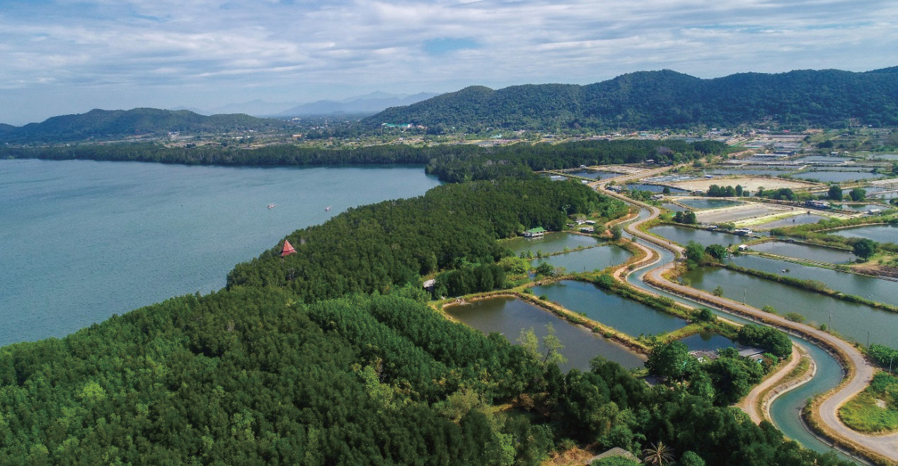
Figure 8-3 Mangrove forests and coastal land use dynamics in Thailand. (Provided by Pasin Maprasop)
Zone 1: Ecosystem Conservation Reserve (46,400 hectares). This zone is primarily managed by the DNP and consists of areas subject to strict protection, including designated national parks and wildlife sanctuaries. Management objectives focus on maintaining ecological integrity, conserving biodiversity, and limiting human activities to those compatible with conservation goals.
Zone 2: Conservation and Utilization Area (416,000 hectares). This zone represents the largest management category and is structured to balance conservation objectives with sustainable use. It is further subdivided into three functional sub-zones.
Zone 2.1 Conservation Mangrove Area: This sub-zone is designated for the protection of ecologically important mangrove ecosystems, including seed production and source areas that are critical for natural regeneration and restoration efforts.
Zone 2.2 Mangrove Buffer Area: This sub-zone supports community participation and the development of urban and peri-urban mangrove forests, thereby strengthening the social dimension of sustainability and enhancing public engagement in mangrove stewardship.
Zone 2.3 Managed Area for Mangrove Forest Utilization: This sub-zone comprises six defined categories of utilized or managed areas. These include areas used prior to the issuance of formal permits, areas allocated under specific land development or land reform projects, and areas requiring specialized management arrangements to ensure controlled and sustainable use.
Zone 3: Private Mangrove Forest Area (36,800 hectares). This zone consists of privately owned mangrove lands, which are often subject to relatively high land taxation. Management considerations for this zone emphasize the need for policy interventions, such as tax exemptions or the adjustment of tax rates to levels comparable with agricultural land. These measures are complemented by incentives, including subsidies for economic mangrove planting, to encourage private-sector participation in conservation and sustainable management.
Zone 4: Beach Forest Area (6,400 hectares) This zone is dedicated exclusively to the protection and management of beach forest ecosystems, which are ecologically distinct from mangrove forests and play an important role in coastal stabilization, biodiversity conservation, and landscape connectivity.


8.2.3 Status of protected areas
Mangrove forest protection in Thailand is implemented through the designation of various categories of protected areas at both national and international levels. These protected areas play a critical role in maintaining ecosystem integrity, conserving biodiversity, and safeguarding habitats essential for mangrove-dependent species.
As summarized in Table 8-1, Thailand has designated several major mangrove protected areas that collectively demonstrate the country’s long-term commitment to mangrove conservation. These sites reflect a combination of international and national protection mechanisms and encompass ecologically important mangrove and associated coastal ecosystems. A total of six key protected areas are identified, with a strong concentration along the Andaman Coast, particularly in Krabi, Phang Nga, Trang, and Ranong Provinces.
Table 8-1 Major Mangrove Protected Areas in Thailand
| Protected Area Name | Type | Location (Province) | Year Of Establishment or Declaration | Primary Objective / Key Feature |
| Krabi River Estuary | Ramsar Wetland (4th) | Krabi | 1999 | Covers shell cemetery, mangrove forests, and mudflats; supports a rich ecosystem |
| Ao Phang Nga National Park | Ramsar Wetland (10th) | Phang Nga | 2002 | Shallow bay surrounded by mangrove forests; habitat for dugongs and bird species |
| Hat Chao Mai National Park – Mu Ko Libong – Pak Nam Trang | Ramsar Wetland (7th) | Trang | 2001 | High ecosystem diversity, including mangrove forests and seagrass beds |
| Ranong Biosphere Reserve | Biosphere Reserve | Ranong | 2001 | Large river mouth with extensive mangrove forests; important for research and education |
| Prasea Estuary | Urban mangrove forest | Rayong | 2018 | Conservation education and eco-tourism |
| Phan Thai Norasing Non-hunting Area | Wildlife Non-hunting Area | Samut Sakhon | 2011 | Mangrove restoration and coastal erosion prevention |
Four of these sites—the Krabi River Estuary, Ao Phang Nga National Park, Hat Chao Mai National Park–Mu Ko Libong–Pak Nam Trang, and the Ranong Biosphere Reserve—have received international recognition as Ramsar Wetlands of International Importance or as a Biosphere Reserve. These designations underscore their global significance in terms of high biodiversity value, the provision of ecosystem services, and the presence of extensive mangrove forests that support research, conservation, and critical habitats for species such as dugongs. These ecosystems also contribute to the protection of associated habitats, including shell cemeteries, mudflats, and seagrass beds.
In addition to internationally recognized sites, Thailand has established protected mangrove areas that serve important functions at the national and local levels. The Prasea Estuary in Rayong Province represents a notable example of an urban mangrove forest managed primarily for conservation education and eco-tourism, demonstrating the integration of environmental protection within a developed coastal landscape. The Phan Thai Norasing Non-hunting Area in Samut Sakhon Province focuses on mangrove restoration and coastal erosion prevention, highlighting the role of protected areas in addressing environmental degradation and enhancing coastal resilience (Figure 8-4).
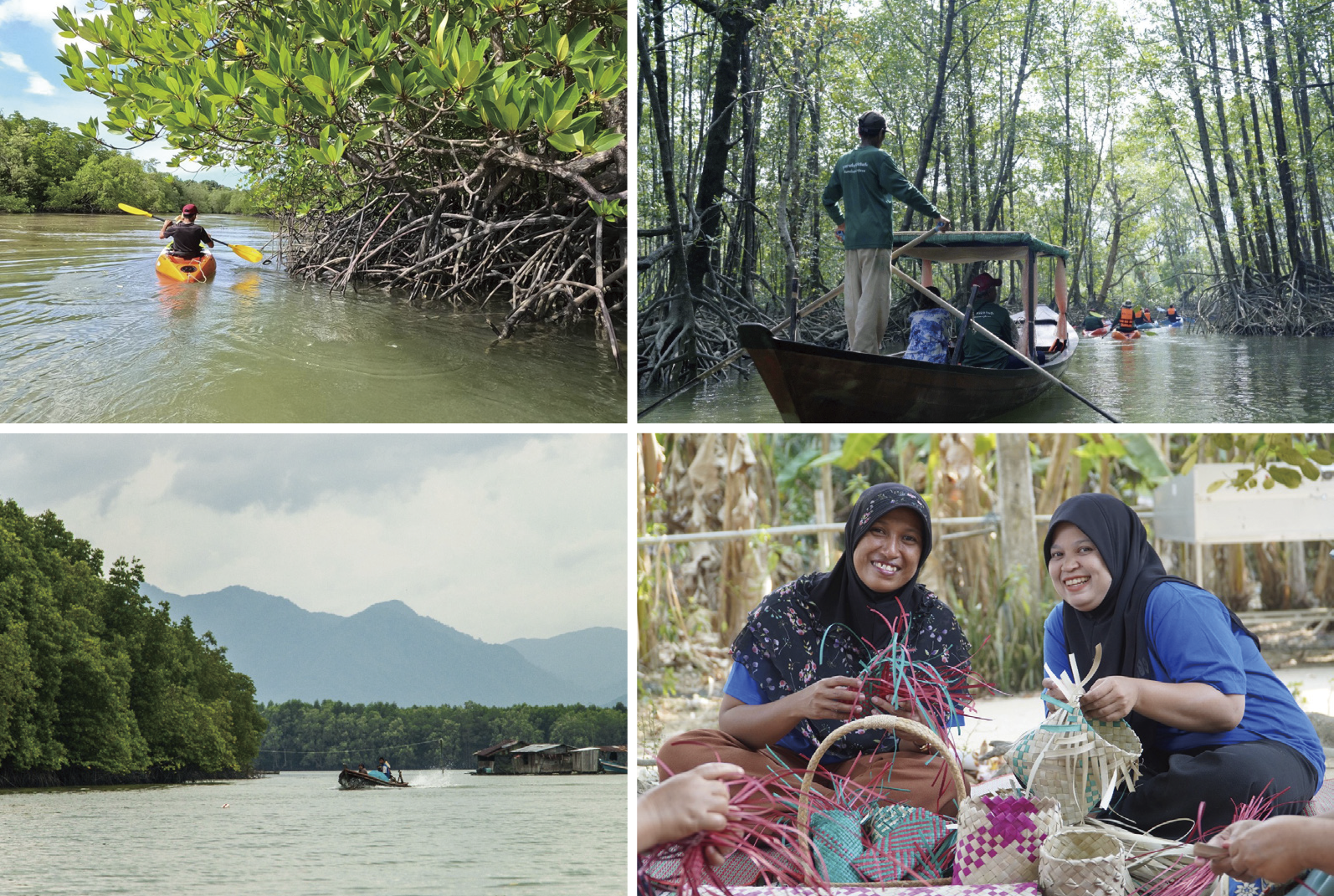
Figure 8-4 Mangrove community activities in Ranong Biosphere Reserve. (Provided by Andaman Mangrove Research Center)
Together, these protected areas form a diverse and complementary network that supports mangrove conservation across different ecological, social, and geographic contexts in Thailand.
Overall, the existing network of mangrove protected areas in Thailand reflects a multi-tiered conservation approach that integrates international recognition with national and local protection mechanisms. The combination of Ramsar sites, a biosphere reserve, national protected areas, and locally managed sites allows for the conservation of mangrove ecosystems across diverse ecological and socioeconomic contexts. This network not only safeguards areas of high biodiversity value and critical ecosystem services but also supports research, education, restoration, and community engagement. Nevertheless, the effectiveness of protected area management continues to depend on adequate institutional coordination, long-term monitoring, and adaptive management to respond to emerging environmental pressures and changing coastal dynamics.


8.2.4 Status of mangrove forest restoration
Between 1961 and 1996, Thailand experienced a substantial decline in mangrove forest cover, with an estimated nationwide reduction of approximately 55 percent. The primary drivers of this loss were the rapid expansion of shrimp aquaculture, charcoal production, and other forms of coastal development. Mangrove degradation during this period resulted in significant environmental and socioeconomic impacts, including increased coastal erosion, declining marine biodiversity, and adverse effects on the livelihoods of coastal communities that depend on mangrove resources.
Growing recognition of the critical ecological and social functions of mangrove ecosystems led to a gradual shift in national priorities toward conservation and restoration. A pivotal milestone occurred in 1991, when His Majesty King Rama IX emphasized the importance of mangrove forests, subsequently leading to the designation of 10 May as National Mangrove Forest Day. This event marked an important turning point in elevating mangrove conservation within Thailand’s national environmental agenda and catalyzed broader institutional and public support.
The Department of Marine and Coastal Resources (DMCR) now serves as the principal government agency responsible for mangrove management, conservation, and restoration. In support of national restoration objectives, the government has introduced a range of policy measures, including proposed incentives such as land tax exemptions for mangrove areas, to encourage rehabilitation and long-term protection.
Mangrove restoration in Thailand has adopted diverse approaches, with strong emphasis on local community participation. Conventional replanting and afforestation remain widely used, often involving local residents to enhance stewardship and long-term maintenance. In areas exposed to strong wave action and coastal erosion, physical protective structures such as bamboo or wooden barriers are commonly installed to reduce wave energy and protect regenerating mangroves. In addition, some communities apply zoning systems that distinguish conservation areas, rehabilitation zones, and zones for sustainable harvesting of non-timber forest products, thereby balancing ecological protection with livelihood needs.
The effectiveness of mangrove restoration in Thailand is closely linked to active community involvement. Numerous case studies demonstrate successful community-led interventions. The Bang Kaew community in Samut Songkhram Province provides a particularly strong example. After experiencing severe coastal erosion and land loss for over two decades, local leaders mobilized residents to rehabilitate approximately 200 rai of abandoned shrimp ponds and public land. A nine-kilometer bamboo barrier was constructed to reduce wave energy and promote sediment accumulation, leading to the formation of new land on which mangroves were systematically established using site-appropriate species. This initiative significantly reduced erosion and restored coastal habitats (Figure 8-5).
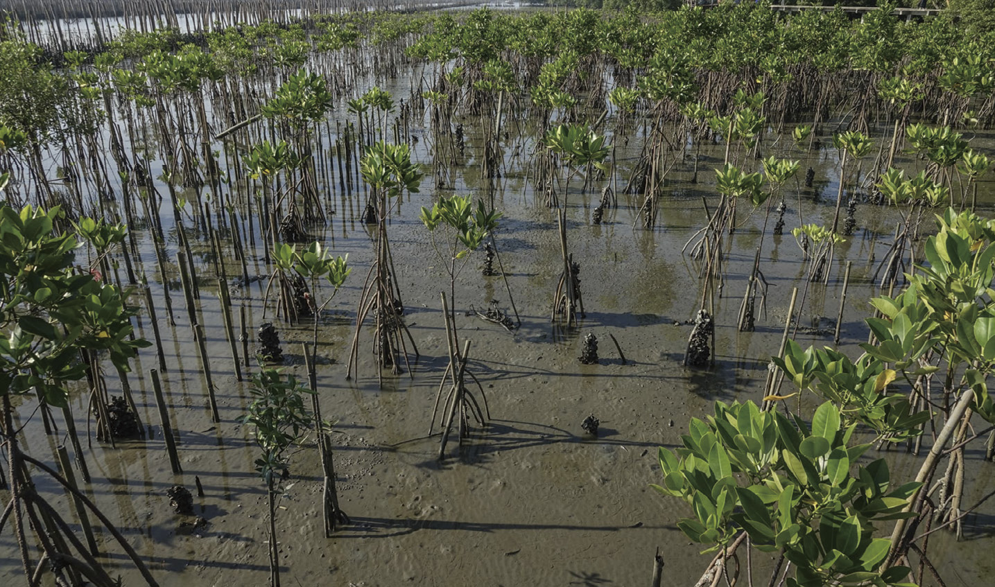
Figure 8-5 Mangrove restoration in Samut Songkram. (Photo by Siriporn Sriaram)
Collaboration among government agencies, non-governmental organizations, academic institutions, and the private sector has further strengthened restoration outcomes. Multi-stakeholder initiatives such as the Mangroves for the Future programme and the Thailand Mangrove Alliance have supported coordinated restoration efforts nationwide. Several sites now serve as national demonstration areas, including Pred Nai in Trat Province, Kung Krabaen Bay in Chanthaburi Province, and restoration sites along both the Gulf of Thailand and the Andaman Coast (Figure 8-6, Figure 8-7).
Thailand continues to pursue ambitious restoration targets. DMCR has set a national goal to restore approximately 48,000 hectares (300,000 rai) of degraded mangrove forests by 2030. Restoration practices have evolved toward near-natural ecological restoration, emphasizing site assessment, restoration of hydrological processes, and the use of diverse, site-appropriate species. Overall, mangrove restoration in Thailand reflects a transition toward integrated, community-centered, and ecologically informed approaches, although sustained investment and adaptive management remain essential to address ongoing and emerging challenges.
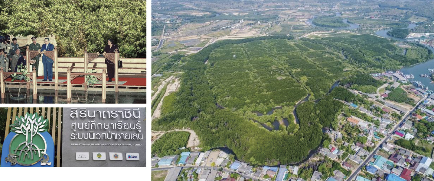
Figure 8-6 Sirinat Rajini Mangrove Ecosystem Learning Center, Prachubkirikhan. (Provided by DMCR)
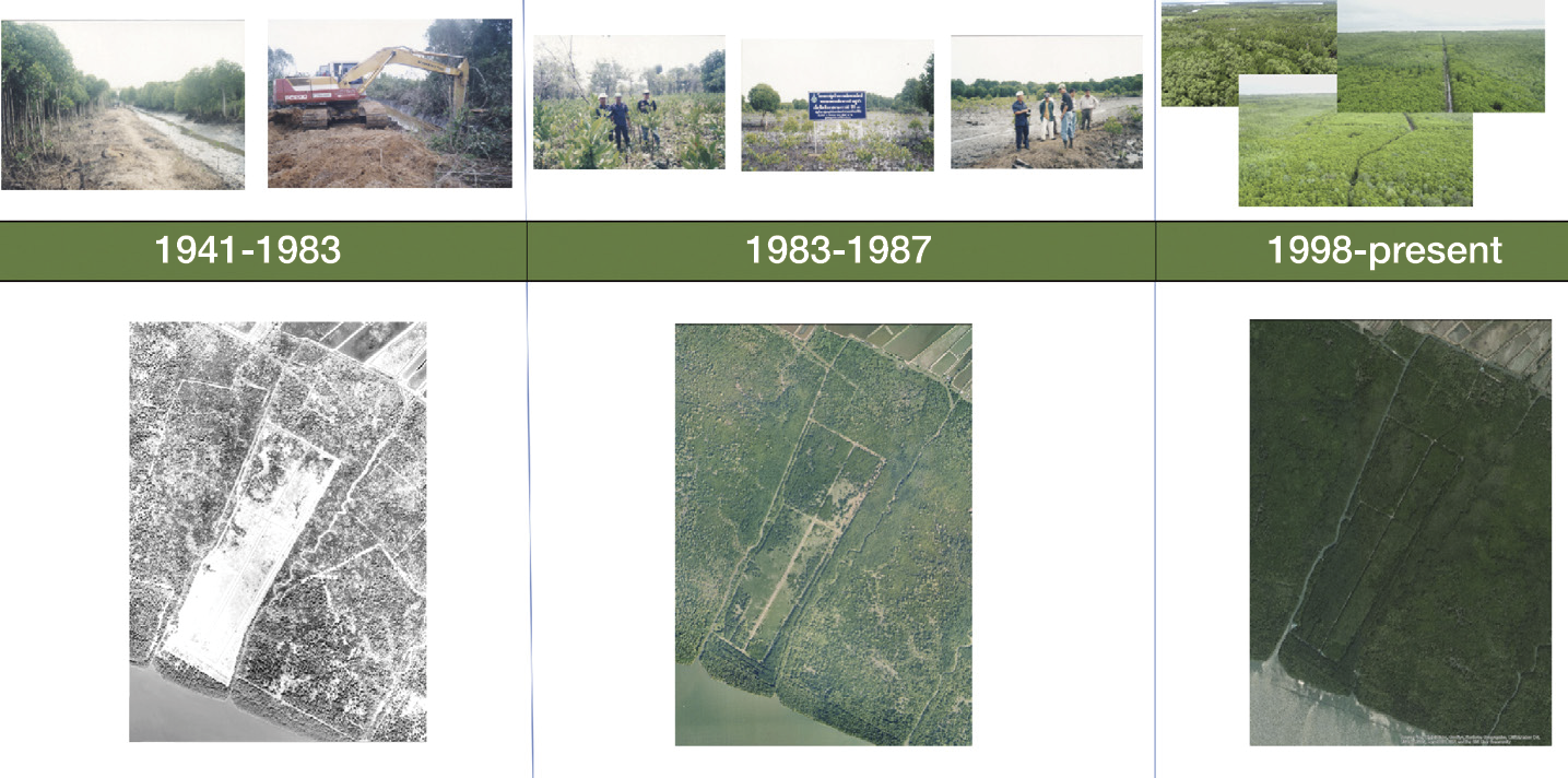
Figure 8-7 Mangrove restoration in Prad Nai, Trat Province. (Provided by DMCR)


8.3 Gap Analysis and Recommendations for Conservation and Management


8.3.1 Major threats and pressures
Thailand’s mangrove forests have been subjected to multiple and evolving pressures over time. Historically, large-scale degradation was primarily driven by intensive exploitation for charcoal production and widespread land conversion for shrimp aquaculture, resulting in a rapid and substantial decline in mangrove area. Although these pressures have been partially reduced through policy interventions, contemporary threats have become more complex and systemic.
At present, the most significant pressures arise from coastal urbanization, port expansion, and industrial development, which continue to encroach upon mangrove areas, particularly near major urban centers. These developments not only cause direct habitat loss but also fragment remaining forests, reducing their ecological resilience.
Pollution represents another major and growing threat. Large quantities of solid waste—especially plastic debris—are discharged into coastal and riverine systems and subsequently accumulate within mangrove forests. This contamination degrades water quality, disrupts sediment dynamics, inhibits tree growth, and displaces aquatic and terrestrial fauna that depend on mangrove habitats.
In addition, climate change-related impacts, including sea-level rise, increased storm intensity, and accelerated coastal erosion, further exacerbate the vulnerability of mangrove ecosystems. These factors interact with existing anthropogenic pressures, increasing the risk of long-term ecosystem degradation.
The principal drivers of mangrove loss and degradation can be categorized as follows.
1) Land tenure and future conversion risk (systemic pressure). The most critical long-term threat stems from the existence of formal land tenure documents, particularly those issued under the Land Code, covering areas that currently function as mangrove forests. This legal status creates persistent uncertainty and exposes mangrove areas to future conversion for residential, commercial, or agricultural purposes, often overriding ecological considerations. In addition, ongoing encroachment and expansion of settlements along mangrove boundaries continue to cause habitat loss and fragmentation. (Figure 8-8)
2) Urbanization and pollution (immediate pressure). Rapid urban expansion remains the dominant immediate driver of mangrove degradation, intensifying development pressure and increasing human activities adjacent to forest areas. Mangroves located near dense communities are especially affected by solid waste pollution from surface runoff and untreated discharges, which physically damage root systems, degrade habitat quality, and reduce biodiversity.
.jpg)
Figure 8-8 Mangrove converted into aquaculture ponds in Samut Sakhon Province. (Photo by SEE Foundation)
3) Unsustainable resource utilization. Although large-scale commercial exploitation has declined, localized and unsustainable use persists. In Provinces such as Phang Nga and Krabi, small-scale domestic cutting of mangrove wood for household use continues and, if left unregulated, may cumulatively deplete valuable and slow-growing species. More severe impacts are observed in Trang Province, where illegal logging of large, mature trees for commercial processing occurs, significantly altering forest structure and reducing carbon sequestration capacity.
Overall, mangrove forests in Thailand are increasingly threatened by a transition from localized resource extraction to broader systemic pressures associated with urbanization, land tenure conflicts, and environmental pollution. Addressing these challenges requires integrated management approaches that balance development needs with the imperative to conserve critical coastal ecosystems.


8.3.2 Key gaps and shortcomings
Despite notable progress in mangrove conservation and restoration, several critical gaps continue to constrain effective management in Thailand.
1) Policy and governance gaps: A fundamental limitation is the absence of a dedicated legal framework specifically addressing mangrove ecosystems. Current management relies on multiple, overlapping laws related to forestry, land use, and marine resources. This fragmentation results in unclear mandates, institutional overlap, and inconsistent law enforcement among responsible agencies, reducing overall management efficiency.
2) Data and knowledge gaps: The lack of standardized and integrated data systems for monitoring mangrove status, restoration outcomes, and ecosystem services remains a major challenge. Inconsistent methodologies hinder long-term evaluation and adaptive management. Furthermore, limited public awareness and understanding of mangrove ecosystem values contribute to inappropriate use and weak community support for conservation efforts.
3) Conservation practice gaps: Many past restoration and afforestation initiatives were implemented without adequate scientific and technical foundations. Planting in unsuitable sites—such as areas with inappropriate hydrological conditions or strong wave exposure—has resulted in low survival rates. In addition, insufficient post-planting maintenance and monitoring have reduced the long-term effectiveness of these interventions.
4) Funding and sustainability gaps: Although numerous restoration projects have been initiated, most rely on short-term or project-based funding. The lack of stable, long-term financial mechanisms limits the ability to support post-restoration management, monitoring, and adaptive interventions, thereby undermining sustainability.


8.3.3 Key recommendations and priority actions
Based on the foregoing analysis, achieving sustainable mangrove management in Thailand requires an integrated, systematic, and time-sensitive approach. The following priority actions are proposed to address existing governance, ecological, and socioeconomic challenges.
1) Establish a unified and dedicated legal framework. Thailand should consider enacting a specific law dedicated exclusively to the management and conservation of mangrove ecosystems. Such a legal framework should consolidate mandates currently dispersed across multiple agencies or, at a minimum, establish a clear and binding coordination mechanism among responsible institutions. Clarifying roles and responsibilities would reduce institutional overlap, enhance enforcement efficiency, and address the fundamental governance fragmentation that underpins many current management shortcomings.
2) Promote a transition toward ecological mangrove restoration. Mangrove restoration strategies should shift decisively from large-scale planting toward ecologically based restoration approaches that prioritize site modification and the restoration of natural hydrological processes. This transition requires comprehensive site assessments covering physical, hydrological, and biological conditions, as well as the removal of artificial barriers that disrupt tidal flow. Natural regeneration through propagule dispersal should be emphasized, with planting used only where necessary. Adoption of this approach is expected to improve restoration success rates, lower long-term costs, and enhance species diversity and ecosystem resilience.
3) Strengthen community engagement through sustainable economic mechanisms. Successful community-based mangrove management models should be expanded and institutionalized. Empowering local communities through clearly defined use rights and benefit-sharing mechanisms is essential for long-term conservation outcomes. In particular, the development of economic instruments—such as transparent and equitable carbon credit schemes—can provide tangible financial incentives and livelihood security for communities engaged in mangrove stewardship. The Thailand Mangrove Alliance serves as a critical platform in this regard, facilitating collaboration among government agencies, the private sector, and local communities under the principles of environmental integrity, social equity, and economic sustainability.
To effectively address ongoing threats and management gaps, mangrove conservation in Thailand requires a shift toward an integrated, long-term governance approach. Priority actions include establishing a mangrove-specific legal framework to resolve land tenure conflicts and clarify institutional responsibilities; integrating mangrove protection into coastal and urban spatial planning while strengthening pollution control measures; and adopting science-based, near-natural ecological restoration supported by standardized monitoring systems. Equally critical is the empowerment of local communities through formalized community-based management and sustainable livelihood options, including blue carbon and ecosystem service mechanisms (Figure 8-9). Finally, securing stable and diversified financing—through carbon markets, payment for ecosystem services, and public–private partnerships—will be essential to ensure the long-term sustainability, resilience, and climate mitigation potential of Thailand’s mangrove ecosystems.
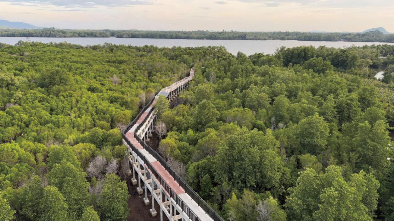
Figure 8-9 Mangrove trail in International Mangrove Botanical Garden Rama IX, Chanthaburi Province. (Photo by Poonsri Wanthongchai)


References
Aksornkoae S. 1998. Mangrove forests: Ecology and management. Bangkok: Department of Silviculture, Faculty of Forestry, Kasetsart University
Alongi D M. 2008. Mangrove forests: Resilience, protection from tsunamis, and responses to global climate change. Estuarine, Coastal and Shelf Science, 76(1): 1-13.
Department of Marine and Coastal Resources (DMCR). 2020a. Mangrove tree species. Bangkok: The Agricultural Cooperative Federation of Thailand Printing
Department of Marine and Coastal Resources (DMCR). 2020b. Status of mangrove forests in Thailand based on remote sensing and GIS analysis. Bangkok: Ministry of Natural Resources and Environment
Department of Marine and Coastal Resources (DMCR). 2021. Regulation on planting and maintaining mangrove forests for external organizations or individuals B.E. 2564 (2021). Bangkok: Ministry of Natural Resources and Environment
Department of Marine and Coastal Resources (DMCR). 2022. Thailand mangrove restoration strategy and action plan (2022–2030). Bangkok: Ministry of Natural Resources and Environment
Department of Marine and Coastal Resources (DMCR). 2023. Report on the state of marine and coastal resources and coastal erosion in Thailand, 2023. Bangkok: Department of Marine and Coastal Resources
Department of Marine and Coastal Resources (DMCR). 2025. Report on the Thailand Mangrove Alliance, 2025. Bangkok: Department of Marine and Coastal Resources
Department of Marine and Coastal Resources (DMCR), Geo-Informatics and Space Technology Development Agency (GISTDA). 2021. Final report: Mangrove resource database system project using high-resolution satellite imagery for mangrove land use classification (Fiscal Year 2020). Bangkok: Ministry of Higher Education, Science, Research and Innovation
FAO. 2020. Global forest resources assessment 2020: Main report. Rome: Food and Agriculture Organization of the United Nations
Field C D. 1999. Rehabilitation of mangrove ecosystems: an overview. Marine Pollution Bulletin, 37(8-12): 383-392
Lewis R R. 2005. Ecological engineering for successful management and restoration of mangrove forests. Ecological Engineering, 24(4): 403-418
Mangrove Action Project (MAP). 2013. Community-based ecological mangrove restoration (CBEMR): A practical guide. Seattle: Mangrove Action Project
Mangrove Research and Development Institute. 2023. Report on the state of mangrove resources in Thailand, 2023. Bangkok: Department of Marine and Coastal Resources
Poonsri Wanthongchai, Pongruktham O. 2019. Mangrove cover, biodiversity and carbon storage of mangrove forest in Thailand // Sabkha Ecosystems: Volume VI: Asia/Pacific. Cham: Springer International Publishing: 459-467
Primavera J H, Esteban J M A. 2008. A review of mangrove rehabilitation in the Philippines: Successes, failures and future prospects. Wetlands Ecology and Management, 16(5): 345-358
Ramsar Convention Secretariat. 2016. An introduction to the Ramsar Convention on Wetlands. Gland, Switzerland: Ramsar Convention Secretariat
Royal Forest Department (RFD). 1986. Historical changes in mangrove forest area in Thailand. Bangkok: Ministry of Agriculture and Cooperatives
Spalding M, Kainuma M, Collins L. 2010. World atlas of mangroves. London: Earthscan
UNFCCC. 2014. Coastal blue carbon: Methods for assessing carbon stocks and emissions factors in mangroves, tidal salt marshes, and seagrass meadows. Bonn: United Nations Framework Convention on Climate Change


Chapter 9 Mangrove Conservation in Timor-Leste: Status, Challenges, and Future Directions
Authors:
• Mario M. Cabral, Center for Coastal and Marine Resources Studies (HACOSTA), Timor-Leste
• Luis da Costa, The National University of Timor-Leste. Junior Gama Pinto, WorldFish Timor-Leste


Abstract
Based on the Decree Law No. 5/2016 regarding the National System of Protected Areas (NSPAs), Timor-Leste established 46 protected areas (PAs). However, only 7 PAs and 2 MPAs specifically have conservation targets for mangrove forests. To achieve the global rate of 40%-80% for the total existing mangrove area, Timor-Leste must protect between 720 and 1,440 hectares of its total 1,800 hectares mangrove coverage. Currently, the country designates 1,070 hectares as conservation areas (accounting for 59% of its total mangroves), meaning that an additional 370 hectares (41%) must still be brought under conservation to reach the upper global benchmark.
A study conducted by UNDP-MAF across 10 survey sites covered 1,232 hectares of existing mangroves, alongside identifying 254 hectares of potential land for mangrove restoration. Consequently, the Government of Timor-Leste (GoTL) still needs to complete field inventories for the remaining 314 hectares of unmapped mangroves (derived from the 1,800 hectares total minus the 1,486 hectares already assessed). Based on global reference figures for mangrove biomass, the average carbon storage across the surveyed 1,232 hectares was estimated at 394 tons of carbon per hectare.
The total carbon storage in Timor-Leste is estimated at 485,408 tons of carbon. An existing national policy for mangroves under the ninth constitutional government for Blue Economy Policy and Action Plan for the promotion of a resilient and sustainable economy of the sea in Timor-Leste (2025-2035) is under pillar 4 for marine biodiversity conservation. The key achievements in conservation management to date reflect a solid institutional commitment. To build upon this momentum, this section proposes that the GoTL adopt Ocean Accounts for natural capital assessment through the application of Nature- based Solutions (NbS).


9.1 Status of Mangrove Resources
The distribution of mangroves in Timor-Leste that has been recorded were 11 geographical locations across both north and south coast (Figure 9-1), casing the coverage area of the respective municipalities across the country. For further information please also refer to Table 9-1, Table 9-2 for species composition. There are 16 species for major mangrove species and 19 species for minor mangrove species plus 29 species of mangrove associates. The species zonation is dominated by mangrove associates located at south coast of Timor-Leste. However, in contrast, the north coast is dominated by both major and minor mangroves2. Typical landscape please refer to Figure 9-2-Figure 9-7. Unfortunately, mangrove loss began around 1982, driven by the rising economic demand of coastal communities and the rapid physical development, which led to severe degraded of the ecosystems. Damage to the mangrove forests in coastal areas primarily stem from anthropogenic pressures, such as illegal logging (firewood, wood for building materials, and house and garden fences); waves and storms as the triggers of the natural destruction of the mangrove forest ecosystem; the age of the plants; and domestic animals grazing as a result of drought or seasonal dry conditions (daCosta et al., 2016). Other major drivers of mangrove loss and degradation were road and building construction, fish, shrimp ponds, and salt pans, cattle intrusion, uncontrolled animal grazing, mangrove cutting, timber and wood exploitation, sedimentation, siltation, and sea level rise (UNDP, 2017).
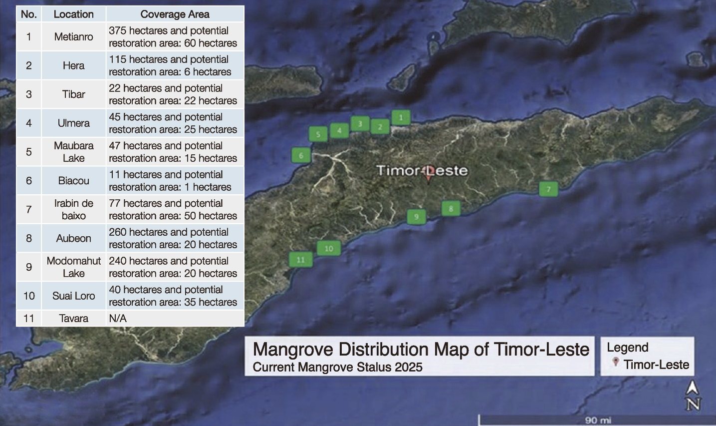
Figure 9-1 Mangrove distribution map of Timor-Leste.
Table 9-1 Major and minor mangrove species in Timor-Leste
| No | Mangrove species | Local name | Location | Remarks |
| 1 | Acanthus ilicifolius | Dasu Ana Rui, Baotuk, Kaikoli feto | North and South Coast | Minor mangrove |
| 2 | Acanthus ebracteatus | Dasu Ana Rui, Baotuk, Kaikoli mana | South Coast, Utacarbau, Uaniuma | Minor mangrove |
| 3 | Acanthus volubilis | Klalerek Tasi, Kadidi bee, Kailaku | South Coast, Abeon | Minor mangrove |
| 4 | Acrostichum speciosum | Kaikoli Lhuku | North and South Coast | Minor mangrove |
| 5 | Acrostichum aureum | Ai irleo | North and South Coast | Minor mangrove |
| 6 | Lumnitzera racemosa | Ai Parapa Tahan Narute, Ai Parapa feto, Suli Tasi, Lurukala, Tekene, Kafitun | North and South Coast | Minor mangrove |
| 7 | Lumnitzera littorea | Ai Parapa Metan Kiik, Ai Tasi Minin | — | Minor mangrove |
| 8 | Aegiceras corniculatum | Ai Parapa Tahan Belar, Goi Abas Tasi | South Coast, Metinaro | Minor mangrove |
| 9 | Aegiceras floridium | Ai Suli, Parapa Metan Tahan Lotuk, Tekene mutin | South Coast, Utacarbau, Uaniuma, Aubeon | Minor mangrove |
| 10 | Avicennia alba | Goiabas tasi, Ai Tai Massin, Ai Parapa Masin | North and South Coast | Major mangrove |
| 11 | Avicennia marina | Ai Nase Tasi, Ai Nase Mane, Too | North and South Coast | Major mangrove |
| 12 | Bruguiera gymnorhyza | Ai Takene, Ai parapa Mene | North and South Coast, Biacou, Suai Loro | Major mangrove |
| 13 | Bruguiera sexangular | Ai kamtan, Ai parapa Tunis, Tekene Mutin | South Coast, Biacou | Major mangrove |
| 14 | Bruguiera hainesii | Ai Lurukai, Ai Tekene | North and South Coast, Biacou, Suai Loro | Major mangrove |
| 15 | Bruguiera parviflora | Tekene Fuan Loto, Ai Parapa Mane(Mutin) | North Coast, Hera | Major mangrove |
| 16 | Ceriops tagal | Ai parapa Mane, Ai Parapa Fuan Naruk, Takede Kiik | North and South Coast, Hera, Metinaro, Suai Loro | Major mangrove |
| 17 | Ceriops decandra | Al Camea, Takede Kiik | North Coast, Metinaro | Major mangrove |
| 18 | Exoecaria agallocha | Tanu Mutin, Ai Tanu, Ai Kabuta | North and South Coast | Major mangrove |
| 19 | Nypa fruticans | Onu, Komu, Tua Metan, Nuu Mina | North and South Coast | Major mangrove |
| 20 | Dolichandrone spathacea | Ai Tui Sapateru | North and South Coast | Major mangrove |
| 21 | Rhizophora mucronata | Ai Parapa Mane, Tekene Funa NarukMuutin | North and South Coast | Major mangrove |
| 22 | Rhizophora apiculata | Tekene Metan, Ai Lokbotu, Ai Parapa Mane | North and South Coast | Major mangrove |
| 23 | Rhizophora stylosa | Ai Kafitun, Kafitun Tekene | North and South Coast | Major mangrove |
| 24 | Sonneratia alba | Kalara | North and South Coast | Major mangrove |
| 25 | Sonneratia caseolaris | Ai To Bakat Tahan Lotun | South Coast, Modomahut Lake | Major mangrove |
| 26 | Sonneratia ovata | Ai Klara Kabuar, Ai Tiru Mas | South Coast, Tafara, Modomahut Lake | Major mangrove |
| 27 | Hertiera littoralis | Ai Kaen, Ai Masin, Ai Sia, Ai Nuu, Gadakha | — | Minor mangrove |
| 28 | Xylocarpus granatum | Ai Beko Fuik, Bika | — | Minor mangrove |
| 29 | Xylocarpus molucensis | Kaito, Derok Fuik, Ai Bai | — | Minor mangrove |
| 30 | Pemphis acidula | Ai Kafitun, Ai Takene | Metinaro | Minor mangrove |
| 31 | Pandanus tectoris | Bora Hedan, Bobolaku, Hedan | North and South Coast | Minor mangrove |
| 32 | Pandanus odoratissima | Hede Tasi, Boro Laku | South Coast, Modomahut Lake, Aubeon | Minor mangrove |
| 33 | Scyphiphora hydrophyllaceae | Ai Too, Ai Tekene, Ai Suli | Metinaro | Minor mangrove |
| 34 | Osbornia octodonta | Ai Parapa Kiik, Ai Suli Funan Mutin | North and South Coast, Suai Loro, Metinaro | Minor mangrove |
| 35 | Scaevola taccada | Kafitun Niafunana, Fuan Tasi | South Coast, Aubeon, Uata-carbau, Modomahut Lake | Minor mangrove |
Table 9-2 Associated mangrove species in Timor-Leste (UNDP-MAF, 2018)
| No | Mangrove species | Local name | Location | Remarks |
| 36 | Barringtonia racemosa | Ai Kamanesa, Ai Bika | North and South Coast | Mangrove associate |
| 37 | Callophylum inophyllum | Tamu Mutin, Ai Too | North and South Coast | Mangrove associate |
| 38 | Calotropis gigantea | Huka, Huka Tasi, Hukan Huko | North and South Coast | Mangrove associate |
| 39 | Premna serratifolia | — | North and South Coast | Mangrove associate |
| 40 | Cerbera manghas | Kai Hudi | North and South Coast | Mangrove associate |
| 41 | Cerbera odolum | Ai Malae Tasi | North and South Coast | Mangrove associate |
| 42 | Ipomea pes-caprae | Ai Fehuk tasi | North and South Coast | Mangrove associate |
| 43 | Dodonaea viscosa | Mangkudu | North and South Coast | Mangrove associate |
| 44 | Clerodendrum inerme | Klisa | North and South Coast | Mangrove associate |
| 45 | Terminalia catappa | Ai Ketapa | North and South Coast | Mangrove associate |
| 46 | Derris trifoliata | — | North and South Coast | Mangrove associate |
| 47 | Cassytha filiformis | — | North and South Coast | Mangrove associate |
| 48 | Hibiscus tiliaceus | Ai Fauk Tasi, Ai Botu | North and South Coast | Mangrove associate |
| 49 | Thespesia populnea | Ai Kabas Fui Tasi | North and South Coast | Mangrove associate |
| 50 | Morinda citrifolia | Denu, Ai Lenuk | North and South Coast | Mangrove associate |
| 51 | Passiflora foetida | Barbotun | North and South Coast | Mangrove associate |
| 52 | Guettarda speciosa | Senoura Fuik | North and South Coast | Mangrove associate |
| 53 | Sesuvium portulacastrum | Barlenka Tasi | North and South Coast | Mangrove associate |
| 54 | Stachytarpheta jamaicensis | Meit, Sirabua | North and South Coast | Mangrove associate |
| 55 | Syzygium samarangense | Ai Du, Ai Beko | North and South Coast | Mangrove associate |
| 56 | Casuarina equisetifolia | Ai Kakeu | North and South Coast | Mangrove associate |
| 57 | Drynaria quercifolia | Ai Funana Manulete, Ai Funan Manuliras | North and South Coast | Mangrove associate |
| 58 | Wedelia biflora | — | North and South Coast | Mangrove associate |
| 59 | Caesalpinia bonduc | — | North and South Coast | Mangrove associate |
| 60 | Spinifex sericeus | — | North and South Coast | Mangrove associate |
| 61 | Canarium ovatum | Ai Ata Maus | North and South Coast | Mangrove associate |
| 62 | Conocarpus erectus | Ai Ata Fuik | North and South Coast | Mangrove associate |
| 63 | Cymbidium aloifolium | Ai Rota | North and South Coast | Mangrove associate |
| 64 | Calamus erinaceus | Oe | North and South Coast | Mangrove associate |
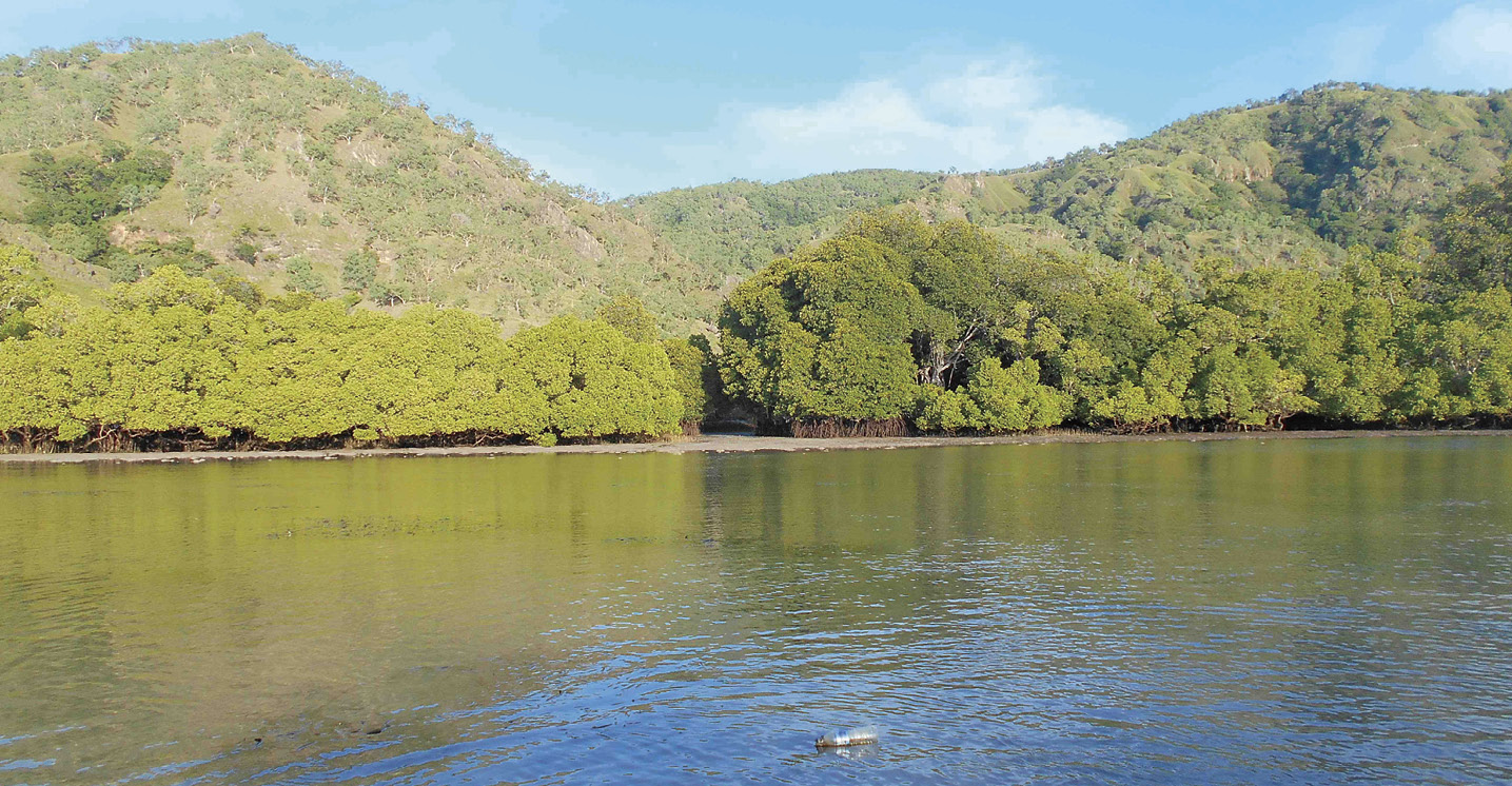
Figure 9-2 Type of mangrove major in Uaro-An. Provide by Mario M Cabral.
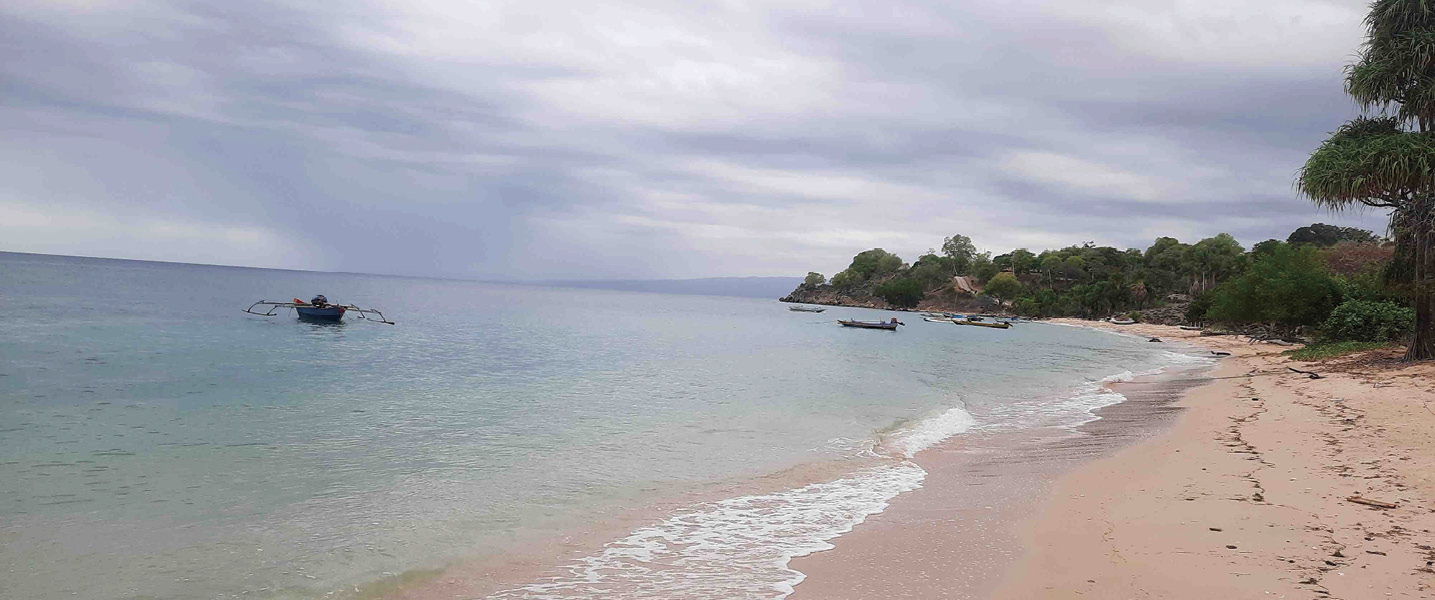
Figure 9-3 Mangroves in Watabou.
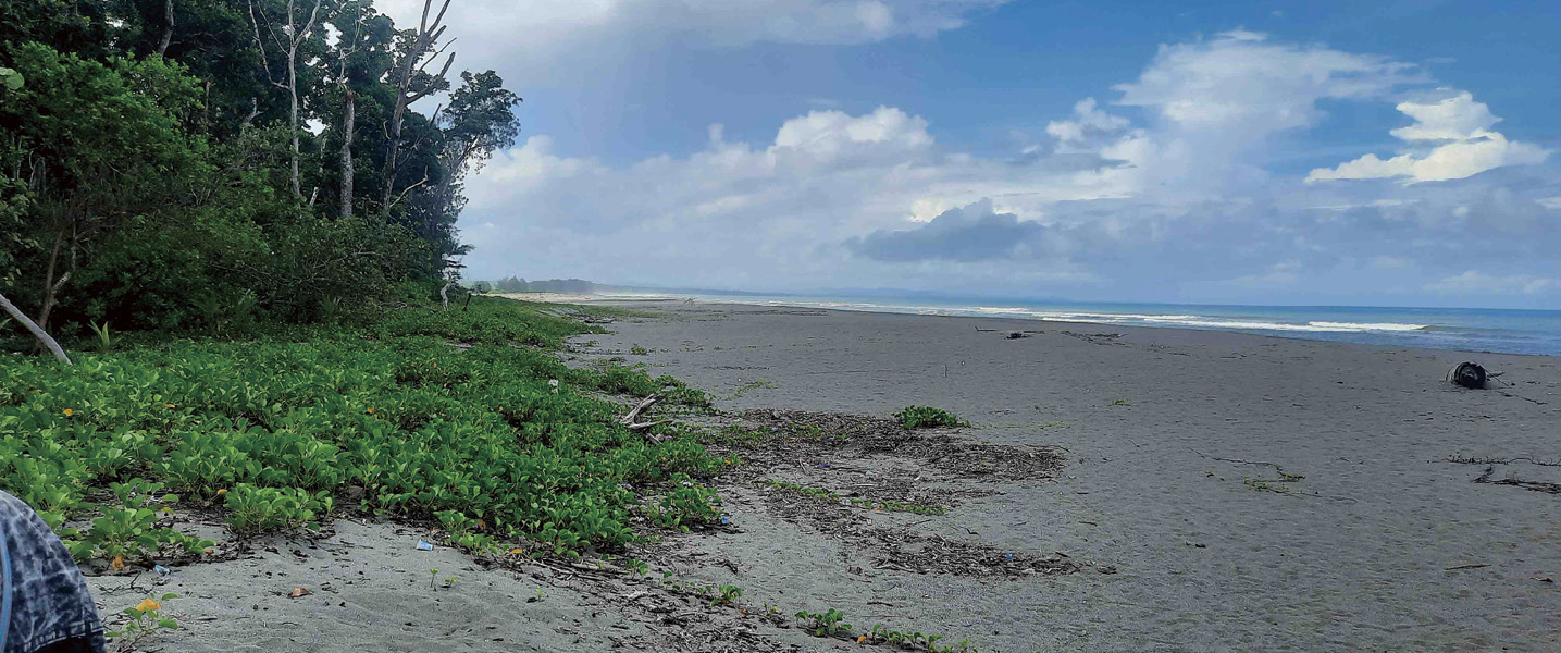
Figure 9-4 Mangroves in Tok Derek.
Figure 9-5 Mangroves in Inur Hitu.
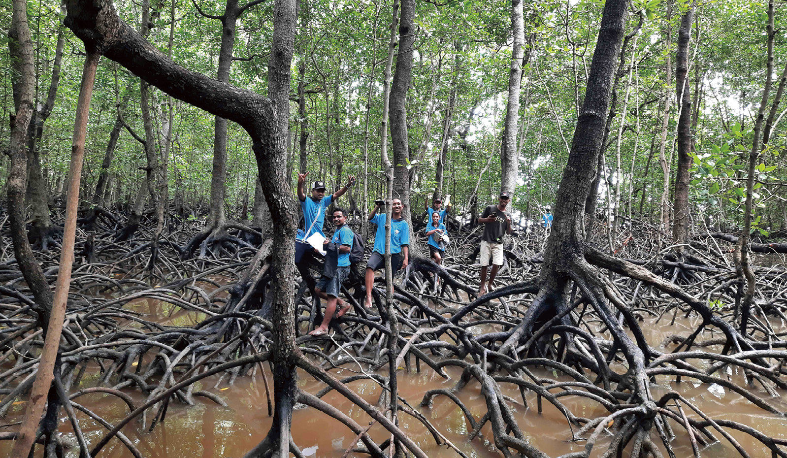
Figure 9-6 Mangroves in Hera 1.
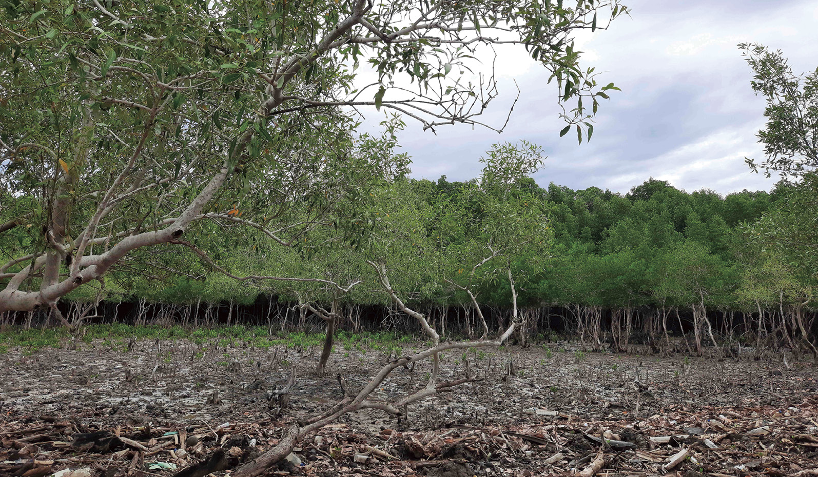
Figure 9-7 Mangroves in Hera 2.
Mangrove loss status has been recorded since 1982 with a gradual decrease until 2017 over this 35-year period, with a total mangrove loss of around 83.9% (Table 9-3). Based on various literature reviews, the main causes for the decline in mangrove coverage were mostly due to illegal logging for house construction and firewood. To curb mangrove loss, there is an urgent need to raise awareness, share knowledge and experience, and promote local conservation efforts. A renewed dedication and commitment to promoting ecotourism, safeguarding biodiversity, and raising public awareness about mangrove conservation has been highlighted by MCIE-UNEP (2023).
Table 9-3 List of estimates of mangrove loss in Timor-Leste from 1940 to 2017 (Alongi, 2013)
| Area remains/hectares | Report year | Reference |
| 9,000 | 1940 | Mac Kinnon and Artha, 1982 |
| 4,000 | 1982 | Mac Kinnon and Artha, 1982 |
| 3,035 | 2000 | Wilkie and Fortuna, 2003 |
| 1,802 | 2000 | FAO, 2007 |
| 855 (north coast) | 2009 | Boggs et al., 2012 |
| 1,300 | 2013 | Alongi, 2013 |
| 645 | 2017 | UNDP, 2017 |
Table 9-4 Example of mangrove dominance with its macrozoobenthos distribution in North Coast of Timor-Leste
| Site | Mangrove | Dominant Macrozoobenthos |
| Sabuli | Relative density of Rhizophora mucronata (86.58%); Relative dominance of Sonneratia alba (65.21%) | Relative abundance of Epitonium sp. (32.07%); Diversity index of Epitonium sp. (0.3647) |
| Hera | Relative density of Rhizophora stylosa (84.62%); Relative dominance of Sonneratia alba (94.50%) | Relative abundance of Nassa francolina (45.45%); Diversity index of Nassa francolina (0.3631) |
| Ulmera | Relative density of Sonneratia alba (66.66%); Relative dominance of Sonneratia alba (98.99%) | Relative abundance of Terebralia palustris (48.14%); Diversity index of Terebralia palustris (0.3519) |
| Vatuvou | Relative density of Avicennia marina (81.81%); Relative dominance of Avicennia marina (72.68%) | Relative abundance of Epitonium sp. (98.22%); Diversity index of Turridae sp. (0.2819) |


9.2 Status of Mangrove Protection and Management
This brief overview, based on tangible measures, highlights national policies, the status of mangrove ecological management, and ecological restoration efforts (GoTL, 2023).


9.2.1 National policies on mangrove protection and restoration
Policies with specific measurable targets for mangroves do not exist yet. However, the general policies have been clearly outlined in the 2023 Nationally Determined Contribution (NDC) report. Another consideration for the government is carbon trading. Mangrove and seagrass conservation can be used to create saleable “blue carbon” credits for attracting income to marine conservation projects (UNDP-MOF, 2021). Timor-Leste proposes within its NDC to protect and restore marine and coastal ecosystems for mitigation purposes, and coastal blue carbon ecosystems (Lecerf et al., 2023). Although there is no national target for the extent of mangrove conservation areas, aligned with the global benchmark set by FAO would require protecting 40%-80% of the total existing mangrove area (FAO, 2023). To support those implementations, GoTL has been working together with government counterparts through several projects, such as KIWA-RESTORE (Restoring Ecosystems for Sustainable, Transformative, and Resilient Communities) Project in March and April 2025, Conservation International, which has mapped 115.32 hectares of mangrove in Biacou, Batugade, Be-Malae, and Ulmera with the objective of conservation.
The existing national policy for mangrove under the ninth constitutional government, for Blue Economy Policy and Action Plan (LMBO, 2025) for the promotion of a resilient and sustainable economy of the sea in Timor-Leste (2025-2035), under pillar 4: marine biodiversity conservation, is as follows: 1) Mapping mangrove forests across the country. 2) Identify and consolidate the various existing studies and project reports, and assess the need for intervention for maintenance, urgent protection, and reforestation. 3) Improve research and monitoring of these ecosystems in coordination with the Timor-Leste Marine Biodiversity Survey and Study. 4) Expand mangrove forest coverage by at least 20% by 2030. 5) Consider expanding the national network of protected areas to include mangrove forests across the country, including the adoption of management plans and regulations to promote and protect these forests. 6) Evaluate and resume the Coastal Resilience Building Program, extending it to all municipalities. 7) Promote awareness campaigns on mangrove forests among coastal communities and promote environmental education through the National Ocean Literacy Program and the Marine Research and Education Centers. 8) Apply for Timor-Leste’s membership in the Global Mangrove Alliance.


9.2.2 Status of mangrove ecological management
Although Decree law No. 5/2016 addressed the national system of protected areas, the implementation procedures and criteria for its five typologies (national parks, wildlife sanctuaries, natural monuments, protected landscapes, and nature reserves) under Article 12 remain undetermined. This gap makes it difficult for the government to establish which typology is suitable for the special naming of mangroves within the national protected area system. It should be explained that Timor-Leste is in the process of designating Nino Konis Santana as a Biosphere Reserve under Man and the Biosphere UNESCO Program, including the candidacy for IUCN Green List category for MPAs on Atauro Island and Nino Konis Santana National Park.
Currently, the Ministry of Agriculture, Livestock, Fisheries and Forestry (MALLF) in collaboration with WorldFish, are implementing project that focuses on community-based mangrove restoration in Nipane (Oecusse), Biqueli (Atauro) and Suai-Loro (Covalima) by strengthening the adaptive capacity, resilience, and biodiversity conservation ability of fisheries and aquaculture-dependent livelihoods.


9.2.3 Status of mangrove ecological restoration
Mangrove restoration is commonly addressed in Decree-Law No. 6/2020 as a legal regime for the protection and conservation of biodiversity, consistent with a “Nature-Positive” integrated approach to Timor-Leste’s adaptation, mitigation, and socioeconomic development objectives (SSE-TL, 2022). Another national policy currently being undertaken by FAO from January 2025 until July 2026 is entitled “Building coastal community resilience and better livelihoods through mangrove conservation and restoration,” as part of the Forest and Landscape Restoration Asia and the Pacific project. Timor-Leste becomes a full member of ASEAN on 26 October 2025, and hopefully will adopt the ASEAN strategy on sustainable mangrove ecosystem management (2024-2030) with the objectives to a) Develop ASEAN mangrove ecosystem profile; b) Implement and share best practices of conservation, protection, restoration, and sustainable use of mangroves ecosystem in ASEAN region enhanced mangrove ecosystem governance; c) Maintain and rehabilitate mangrove areas; d) Enhance understanding and harmonize efforts among ASEAN member states in facing common; e) and tackle global challenges related to mangrove ecosystem management (ASOF, 2024). Rehabilitating Timor-Leste’s mangroves has been a key focus of the Coastal Resilience Program, led by the United Nations Development Program (UNDP).


9.3 Gap Analysis for Conservation and Management
Mangrove ecosystems in Timor-Leste face a range of threats and pressures that undermine their ecological integrity and the services they provide to coastal communities as detailed below.
Human-induced threats. Overharvesting for firewood: mangrove forests are exploited for firewood and construction materials, leading to significant mangrove cover loss over recent decades.
Land conversion and coastal development: expansion of settlements, tourism infrastructure, and aquaculture displace mangrove habitats.
Pollution and sedimentation: runoff from agriculture and urban areas introduces pollutants and excess sediments that smother mangrove roots.
Governance and institutional challenges. Limited enforcement of protection measures: despite national action plans, enforcement of mangrove conservation laws remains weak in many areas.
Fragmented management and low community awareness: a lack of integrated coastal management and limited local engagement hinder long-term stewardship.
Ecological impacts. Loss of biodiversity: degradation of mangroves affects nursery habitats for fish, crustaceans, and other marine life, reducing local fishery productivity.
Reduced carbon sequestration: Mangrove loss diminishes blue carbon storage potential, impacting climate mitigation efforts.
The most critical gaps and shortcomings for mangrove conservation in Timor-Leste are as follows.
Governance and institutional gaps. Fragmented mandates and weak coordination: multiple agencies (e.g., Ministry of Agriculture, Livestock, Fisheries and Forestry, Ministry of Tourism and Environment) have overlapping responsibilities without a unified coastal management framework.
Limited enforcement capacity: existing regulations are poorly enforced due to a lack of trained personnel, resources, and community-based monitoring systems.
Absence of national mangrove inventory: until recently, there was no comprehensive mapping of mangrove extent, condition, or socioeconomic value. The KIWA-RESTORE project began addressing this in 2025.
Technical and data shortcomings. Inadequate baseline data: many mangrove areas lack ecological assessments, making it difficult to track degradation or restoration success.
A low level of integration of traditional knowledge: local practices and cultural values are underutilized in restoration planning, despite their potential to enhance community ownership.
Limited use of remote sensing and GIS: spatial planning tools are not consistently applied to monitor mangrove health or guide interventions.
Community engagement and capacity. Low awareness and education: many coastal communities are unaware of mangrove ecosystem services, leading to unsustainable harvesting and land conversion.
Gender and youth inclusion gaps: while some initiatives (e.g., in Ulmera-Liquiça) engage women in planting and monitoring, broader inclusion strategies are lacking.
Short-term project cycles: most restoration efforts are donor-driven and time-bound, with limited long-term follow-up or adaptive management.
Financial and resource constraints. Insufficient long-term funding: conservation efforts rely heavily on external donors, with minimal domestic budget allocation for mangrove protection.
A lack of incentive mechanisms: there are few economic incentives (blue bonds, blue carbon credits) to encourage sustainable mangrove stewardship.


9.4 Key Recommendations and Priority Actions
Current protection and management status. Revision of National Forest Policy (2017) with an addendum for mangrove ecosystem management and to create a framework for the foundation for sustainable management of forest resources and integrated watersheds from upland to lowland.
Propose concrete, actionable, and high priority recommendations. It is proposed that the GoTL for improving the Decree law No. 5/2016 on the National system for protected areas, particularly article 12 for the determination of its 5 typologies. Continuing and adapting the Green Climate Fund project on community-based landscape management for reducing deforestation by promoting sustainable natural resources management, enhancing food and water security, reducing disaster risks, and increasing carbon sequestration, with a specific focus on mangroves (NESS-TL and IGES, 2025).
Priority recommendations. Reforestation and Afforestation in both upland and lowland to restore degraded lands and increase forest cover for better carbon sequestration. Including the Enhancement of Carbon Sink by targeting planting, growing, and monitoring, for example, up to one million trees are planting every year, along with establishing a national tracking system, protecting coastal and marine ecosystems, particularly mangroves, contingent on climate financing and technical assistance.


Reference
Alongi D M. 2013. Mangrove forests of Timor-Leste: ecology, degradation and vulnerability to climate change // Mangrove ecosystems of Asia: status, challenges and management strategies. New York, NY: Springer New York: 199-212
ASOF. 2024. ASEAN Strategy on Sustainable Mangrove Ecosystem Management 2024–2030. Jakarta: ASEAN Secretariat. https://asean.org/wp-content/uploads/2025/04/i.-ASEAN-Strategy_Mangrove_final-fixed_rev2-241017.pdf [2025-10-30]
Boggs G, Edyvane K, de Carvalho N, et al. 2012. Marine & Coastal Habitat Mapping in Timor Leste (North Coast)-Final Report. Project 1 of the Timor Leste Coastal-Marine Habitat Mapping, Tourism and Fisheries Development Project
daCosta L J, Budiastuti S, Sutrisno S, et al. 2019. The diversity of plant species in a mangrove forest in the Coast of Metinaro, Timor-Leste. IOP Conf. Series: Earth and Environmental Science, 256: 012026
daFonseca A, Cabral M M, Tilman V M, et al. 2021. Survey on Mangroves zonation, macrobenthos biodiversity and community perception on ecosystem-based livelihoods and cultural aspect of mangroves conservation in Dili and Liquiça Municipalities. Universidade Nasional Timor-Lorosa’e and United Nations Development Programme, Dili, Timor-Leste
FAO. 2023. The World’s Mangroves 2000-2020. Rome-Italy
FAO. 2007. The world’s mangroves, 1980–2005. FAO Forestry Paper 153. FAO, Rome, Italy
GoTL. 2023. Program of the 9th Constitutional Government. Dili, Timor-Leste
Maricé L, Spalding M D. 2024. The State of the World’s Mangroves 2024. Global Mangrove Alliance
Lecerf M, Herr D, Elverum C, et al. 2023. Coastal and marine ecosystems as Nature-based Solutions in new or updated Nationally Determined Contributions. Ocean and Climate Platform, Conservation International, IUCN, Rare, The Nature Conservancy, Wetlands International and WWF
LMBO. 2025. Blue economy: the promotion of a resilient of sustainable economy of the sea in Timor-Leste (2025-2035). Ninth Government Constitutional of Timor-Leste
MacKinnon J, Artha M B. 1982. National conservation plan for Indonesia. Vol. II. Sumatra. FAO, Bogor, Indonesia: 66
MCIE-UNEP. 2023. Timor-Leste’s Sixth National Report to Convention on Biological Diversity 2023. Dili, Timor-Leste
NESS-TL IGES. 2025. Assessing the Alignment of National Determined Contributions (NDC) and National Adaptation Plan (NAP) with the Outcomes of the First Global Stocktake (GST1) under the Paris Agreement: A Case Study of Timor-Leste. IGES, Japan
SSE-TL. 2022. Nationally Determined Contribution Timor-Leste 2022-2030. Secretariat State of Environment. Dili, Timor-Leste
UNDP. 2017. Assessment Report of the Biophysical, Ecological and Socio-economic Conditions of Mangroves Ecosystem of Timor-Leste. Dili, Timor-Leste
UNDP-MAF. 2018. Mangroves Field Identification Manual of Timor-Leste. Building Shoreline Resilience of Timor-Leste to Protect Local Communities and Their Livelihood. Dili, Timor-Leste
UNDP-MOF. 2021. Financing the Blue Economy in Timor-Leste: A Preliminary Roadmap. Dili, Timor-Leste
Wilkie M L, Fortuna S. 2003. Status and trends in mangrove area extent worldwide. Forest Resources Assessment Programme. Working Paper (FAO): 63
AI翻译
 复制
复制
 笔记
笔记

 高亮
高亮
 搜索
搜索
笔记
高亮
编辑
删除

0 / 500
 我
2025-08-26 14:49
我
2025-08-26 14:49

中国和东南亚国家红树林评估报告现状、挑战与未来行动 ( 英文版 )
目录
笔记
搜索
共 0条
章节
时间
全部
 笔记
笔记
 高亮
高亮


